California Trail Users Coalition

California Trail Users Coalition

The California Trail Users Coalition is a non-profit corporation designed to be a forum for all trail users (hike, mountain bike, horse, wildlife & vehicle) to discuss related issues, problems and alternative solutions; to assist in the planning, development, maintenance and hosting of trails; and to help enforce the rules of the road; and to develop and maintain programs designed to educate users on proper use of trails and trail etiquette.

Find all CTUC Trail Maps @ jawbone.org
jawbone.org/ohvmap/index.php/maps-guides/ctuc-trail-maps

California Trail Users Coalition

avenza maps Avenza Maps, offers apps and digital maps. Below are all the CTUC maps for California.

CTUC: California Trail Users Coalition Digital Maps
OHV,
SVRA, BLM, 4×4, ATV, UTE, SUV

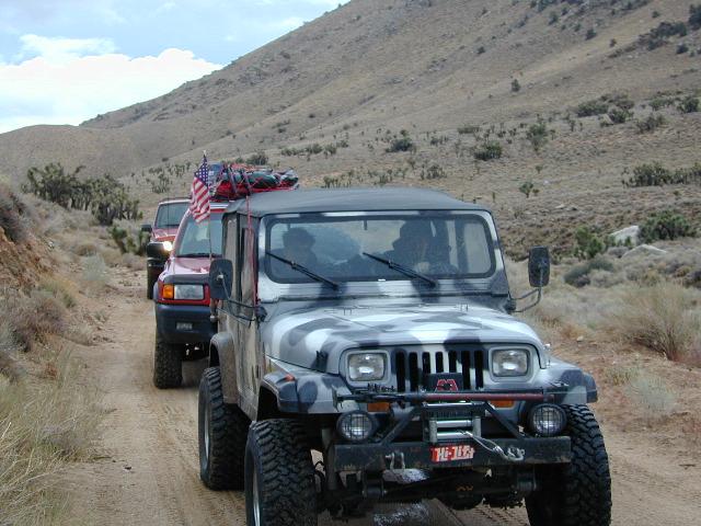
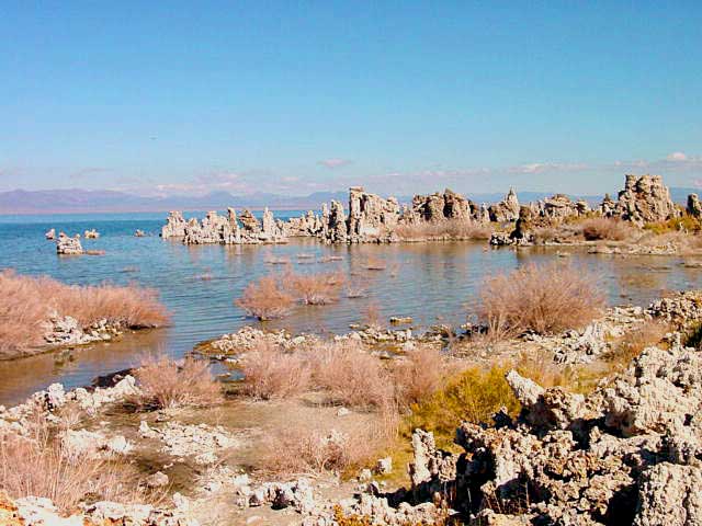
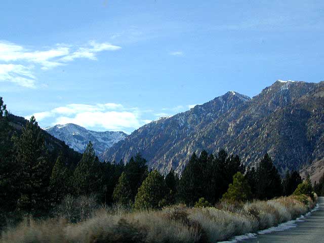
many desert locations, and some mountains

listed from north to south

CTUC Stanislaus NF & Yosemite OHV Map
CTUC High Sierra OHV Map
CTUC Sierra National Forest OHV Map
CTUC Sierra Bass Lake OHV Map

CYUC Inyo National Forest South
CTUC Inyo National Forest North

CTUC Sequoia NF & Kennedy Meadows OHV Map
CTUC BLM Keysville & Sequoia NF OHV Map

CTUC Jawbone Canyon & Randburg OHV Map
CTUC Panamint Valley OHV Map
CTUC Dumont Dunes OHV Map
CTUC Amboy Mojave OHV Map
CTUC Mojave El Mirage OHV Map

CTUC Needles OHV Map
CTUC Blythe OHV Map

CTUC San Bernardino & Barstow BLM OHV Map
CTUC Angeles Forest OHV Map
CTUC Cleveland & Idyllwild OHV Map

CTUC Palm Springs OHV Map
CTUC Ocotillo Wells OHV Map

CTUC Imperial Sand Dunes Map

dirtbikersrandsburg

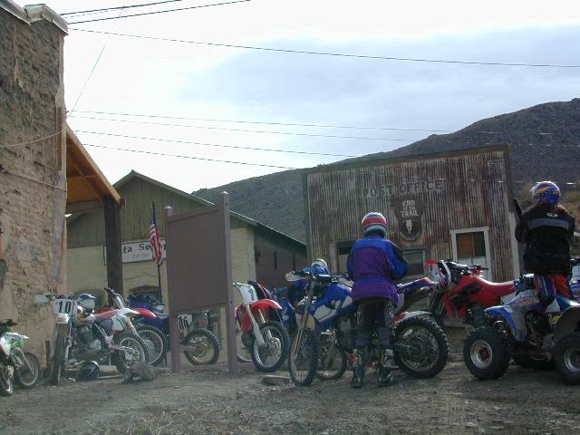
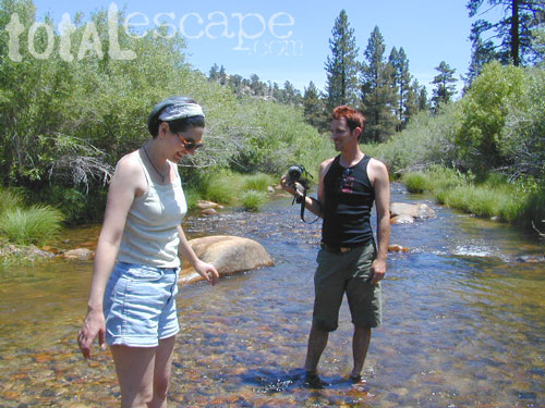
Dirt Bikers @ Randsburg Ghost Town, North Mojave, CA

driftwood

tire

solo_driver

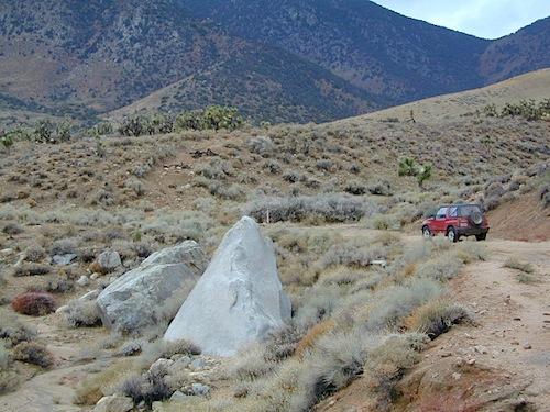
Horse Canyon, North Mojave Desert

Mono Lake Map

Mono Lake Map

Tufa Towers at Navy Beach, Mono Lake


Mono Lake Topo Map
Mono Lake Topo Map

Mono Lake, Lee Vining & Lundy Canyon

Mono Lake is one of the most popular destinations in the Eastern Sierra region. Tom Harrison is the only topographic map that has all of Mono Lake on one sheet.

Eastern Sierra Lee Vining Trail Map, Lee Vining Canyon South; Areas covered: Lee Vining Hiking, South Tufa Mono Lake, County Park Old Marina, Lundy Canyon, Lundy Topo, Panum Crater.

Durable, waterproof plastic map; Folded. Map Scale: 63K; ISBN# 9781877689789

Mono Lake California 

avenza mapsdownload digital version of this map –
Mono Lake Topo Map

Mono Lake Map

Mono Lake is a saline soda lake in Mono County, California, formed at least 760,000 years ago as a terminal lake in an endorheic basin. The lack of an outlet causes high levels of salts to accumulate in the lake and make its water alkaline.

The high desert lake has an unusually productive ecosystem based on brine shrimp, which thrive in its waters, and provides critical habitat for two million annual migratory birds that feed on the shrimp and alkali flies.

When the city of Los Angeles diverted water from the freshwater streams flowing into the lake, it lowered the lake level, which imperiled the migratory birds. The Mono Lake Committee formed in response and won a legal battle that forced Los Angeles to partially replenish the lake level.

Dissolved salts in the runoff thus remain in the lake and raise the water’s pH levels and salt concentration. The tributaries of Mono Lake include Lee Vining Creek, Rush Creek and Mill Creek which flows through Lundy Canyon.

The basin was formed by geological forces over the last five million years: basin and range crustal stretching and associated volcanism and faulting at the base of the Sierra Nevada.

nearby destinations:

Mono Lake Map

see also –
Ansel Adams Wilderness Map
Bodie Hills Map
Mammoth Lakes Map NatGeo
Toiyabe National Forest Map USDA
Yosemite Highcountry Map

Mono Lake Map


Lundy Canyon
Lundy Lake California

PCT Map #3 South Sierra

USDA PCT Map 3

PCT Map 3 Southern Sierra Nevada Mountains

Pacific Crest Trail National Scenic Trail
PCT – Hiking Map 3

Tehachapi to La Conte Canyon

Tehachapi Pass, California north to La Conte Canyon @ Kings Canyon National Park. Areas include – Owens Peak Wilderness, Chimney Peak Wilderness, Kennedy Meadows, Deer Mountain, Beck Meadow, Anderson Point, Cow Canyon, Golden Trout Wilderness, Olancha Peak, Grouse Meadow, USDA PCT Map 3Muah Mountain, Cottonwood Lakes, Mount Whitney, Tyndall Creek, Kings Kern Divide, Charlotte Lake, Rae Lakes, Fin Dome, Mount Baxter, Taboose Pass, Vennacher Needle, Mount Jepson, Black Divide, Kings Canyon National Park. USDA PCT Map #3, Large fold out map, durable waterproof paper w/ sturdy cardboard cover. ISBN# 9781593514648

USDA PCT Map 3

Tehachapi

Windmills @ Tehachapi

USDA PCT Map 3

River dip @ Kennedy Meadows

USDA PCT Map 3

Cottonwood Camp

see also –

South Sierra Map
Jawbone Canyon Map
Dome Land Wilderness Map
Golden Trout Wilderness Maps
Sequoia National Forest Map
Inyo National Forest Map
Mount Whitney Trail Maps
Kearsarge Pass Trail Map
Kings Canyon Highcountry Map
Sequoia Kings NP Maps

Capital Reef Map

Capital Reef Map

hiking slot canyons

Capital Reef National Park Map

NPSCapt Reef NP

Utah’s National Parks are unbelievably beautiful. Enjoying one National Park at a time would require months. Hiking, off-roading and camping are always popular during the summer months, yet most of the parks are open all year long.

NPS
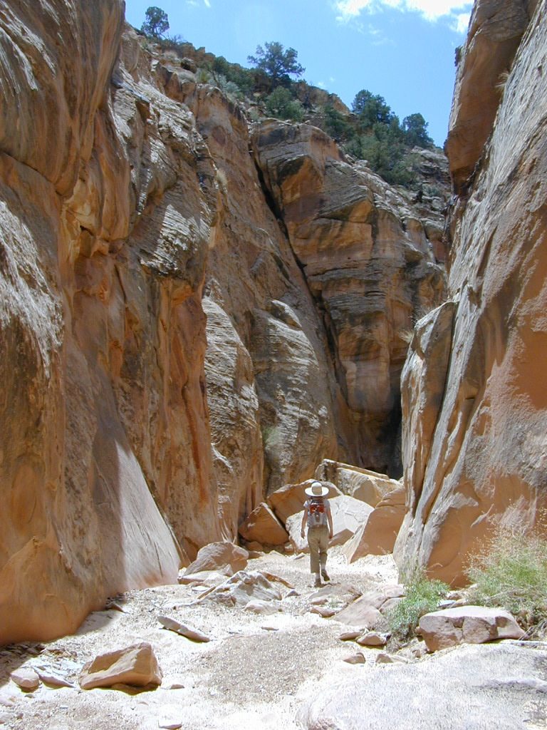
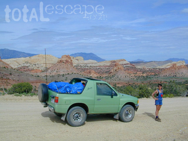
Capital Reef is a fertile high desert canyon with plenty of great slot canyons and archways to explore. The main campground on the highway is located next to a historic fruit orchard.

Capital Reef Map

Capital Reef Map
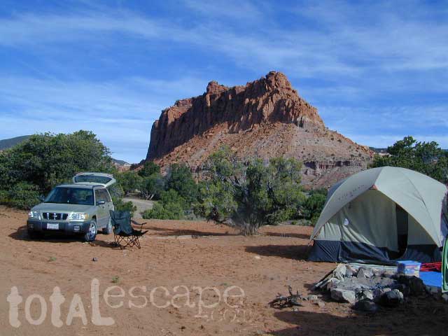
Cathedral Valley is a cool off-road destination for secluded camping, way off the paved highway. Self sufficient campers only!

The Burr Trail is a historic graded road, with steep switchbacks and red rock scenery. This main backcountry route connects the National Park to remote BLM land, south of the park.

Capital Reef Map

Hiking in Capital Reef National Park

get a digital version of this mapavenza maps
NatGeo #267 – Capitol Reef NP Map

Capital Reef Map

May is generally the best month for camping & hiking in southern Utah. Summer can bring triple digit heat and late season thunderstorms. Flash floods are common and life threatening in this mountainous high desert region. Winter snow is typical in this region.

NFSFishlake National Forest is neighboring the National Park on the west side of Capital Reef NP. Free camping is available on dirt roads in the National Forest; Capital Reef Map
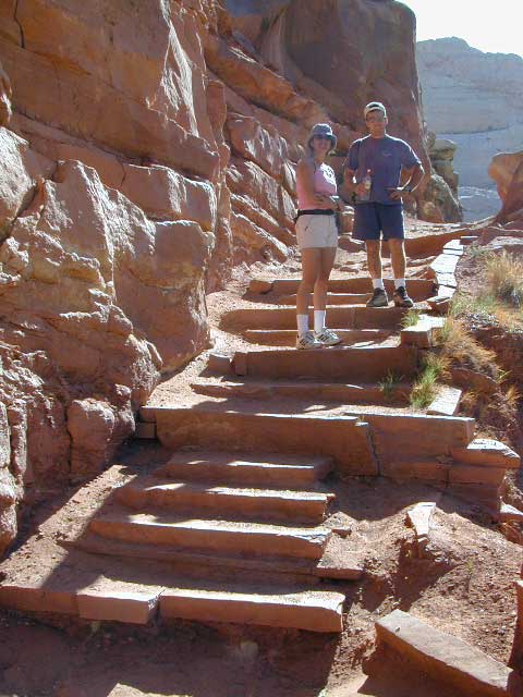
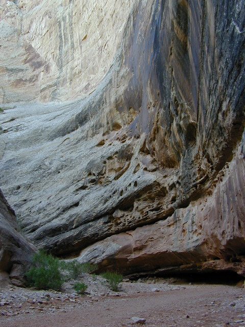
campfire permits are required for back country camping. RV park, motels, market and restaurants available in Torrey.

nearest town:
Torrey, UT

Capital Reef Map

Capital Reef Map

Historic Burr Trail is a very long, yet drivable, graded dirt road connecting many public lands in south central Utah. High clearance is recommended, 4WD may be required during wet weather or snow.

avenzabar

apps/maps:
download digital topos & maps

BLM Map: West Wayne County UT (free)
Fishlake National Forest Topo Atlas
Fishlake NF Utah – Off Road Map (free)
Fishlake NFS Visitor Map – North Half
Glen Canyon Lake Powell Map NPS (free)
Glen Canyon Recreation Area – Lake Powell Map
Grand Staircase Escalante Map BLM
Motorized Routes Map, Emery County UT
NatGeo #707 – Fish Lake, Manti Map (Interstate 70)

Capital Reef Map

Free Camping @ Fishlake NF – Torrey, Utah

see also –Utah Maps

Canyonlands Map
Utah Maps
Utah Books

Capital Reef Map

Giant Walls of Capital Reef