National Geographic
Baja Maps

- camp
- fish
- hike
- kayak
- missions
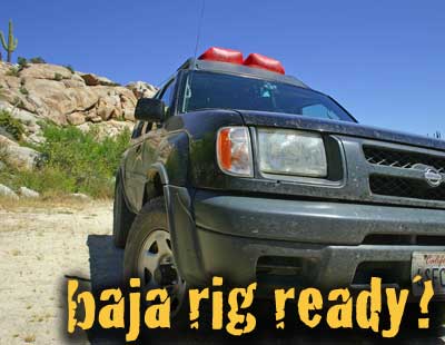
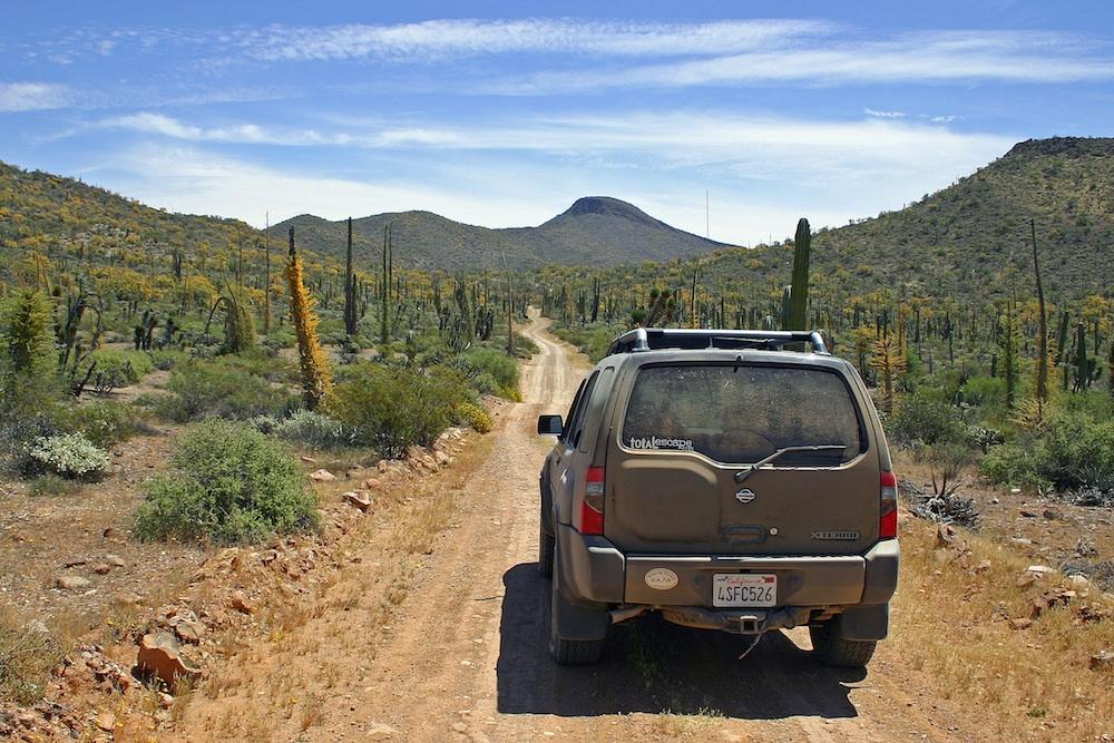
- off-road
- petroglyphs
- RV
- scuba
- surf
- travel
NatGeo Baja Map Pack Bundle
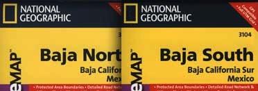
Baja California, North & South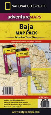
The Baja California Map Set from National Geographic. Includes both maps: Baja Norte & Baja Sur Maps. #3103 & #3104. Topographical features, towns, ranchos, main dirt roads, coves, beaches, fishing spots, surf spots, sailing; beautifully detailed. GPS compatible w/ full UTM grid. Printed on plastic in 2008. Waterproof, tear-resistant. ISBN# 9781597752237
Baja California Mexico, BC MX, Baja Norte, Baja Sur, Baja Maps, Map Set, Bundle, National Geographic Maps
![]() get a digital version of this 2 map set
get a digital version of this 2 map set
Baja Map Pack by NatGeo
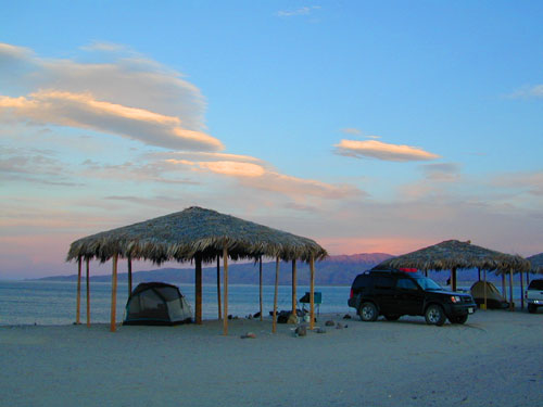
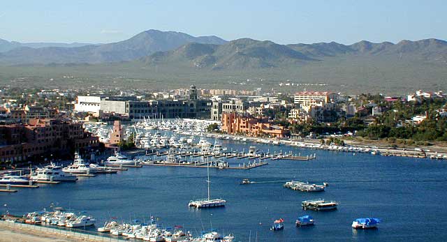
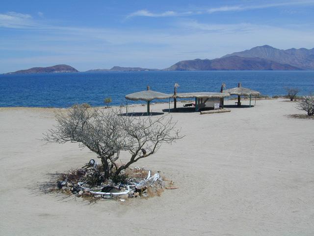
Gonzaga Bay, Baja California
NatGeo Baja Maps
Baja Norte NatGeo Map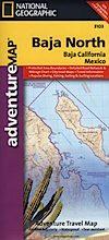
Baja California Norte Map / Map of Baja Norte / Baja California
Baja California maps by National Geographic #3103. Baja Norte Map. This map covers the northern portion of Baja California Mexico. Topographical features, towns, ranchos, main dirt roads, coves, beaches, fishing spots, surf spots, sailing; beautifully detailed. GPS compatible w/ full UTM grid. Waterproof, tear-resistant. ISBN# 9781566952439
![]() get a digital version of this map
get a digital version of this map
NatGeo Map 3103 – Baja California North
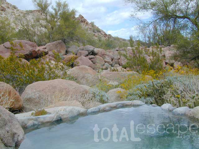
Guadalupe Canyon Hot Springs, Baja California
![]()
Baja Sur NatGeo Map 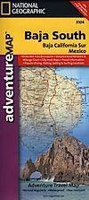
Baja Road Map / Baja Sur Mexico Map
Baja Sur Map from National Geographic #3104. This map covers the southern portion of Baja California Mexico. Topographical features, towns, ranchos, main dirt roads, coves, beaches, fishing spots, surf spots, sailing; beautifully detailed. GPS compatible w/ full UTM grid. Waterproof, tear-resistant. ISBN# 9781566952446
![]() get a digital version of this map
get a digital version of this map
NatGeo Map 3104 – Baja California South
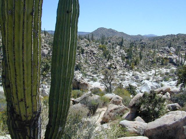
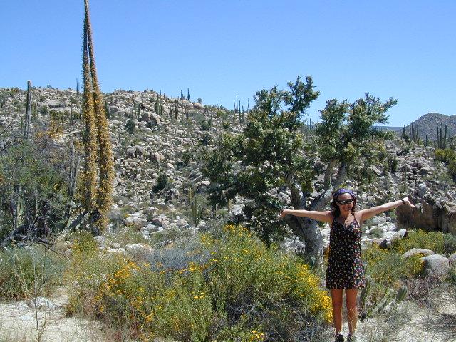
Cacti at Catavina
NatGeo Baja Maps
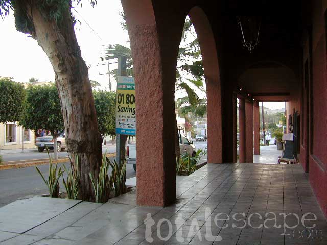
Todos Santos, Baja California Sur
see also –
Anza Borrego Desert Map
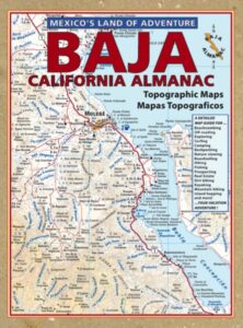
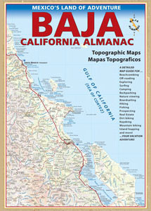
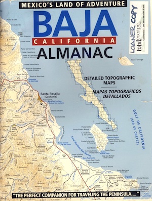
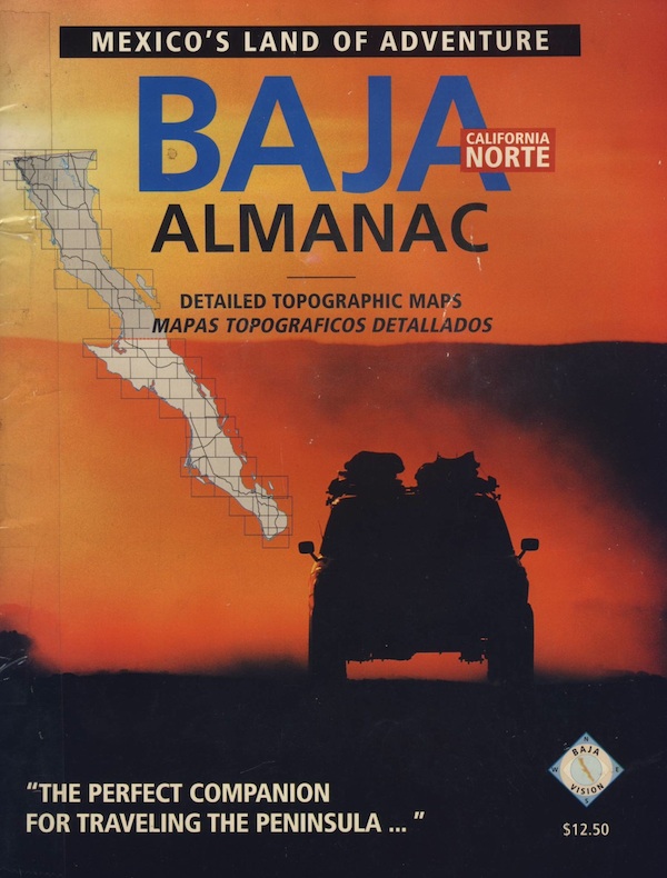
Baja California Almanac
San Diego Backcountry Map