Bodie Hills Map

Bodie Ghost Town California

Bodie Hills MapBodie State Historic Park
Aurora Canyon

Eastern Sierra Nevada area near Bridgeport, California

HIGH DESERT –
8375′ elevation

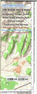
This Bodie map is authentic. Created and produced by none other than Tom Harrison, a legend in the field California cartography. No other map creator makes a detailed topographic map of Bodie Ghost Town, State Park and desert region.

Bodie Hills Map

Bodie Ghost Town Map

Tom Harrison Trail Map: Bodie Ghost Town CA, Bodie State Historic Park, State Park Bodie, BLM Bodie Hills, Back Roads Bridgeport California, Mining Desert High Country Map, 4×4 roads, Aurora Canyon, Aurora Nevada, Bodie Hiking Map, Backpacking Maps. Travertine Hot Springs, Geiger Grade, Bodie State Park, NV Desert Mountains, Bridgeport Hiking Maps. Durable, waterproof plastic map; Folded. Map Scale: 63K; ISBN#9780981834412
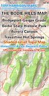
Bodie Map

OLD VERSION

avenza mapsdownload digital version of this map –
Bodie Hills Topo Map
Bodie Hills Map

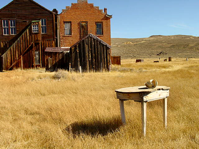
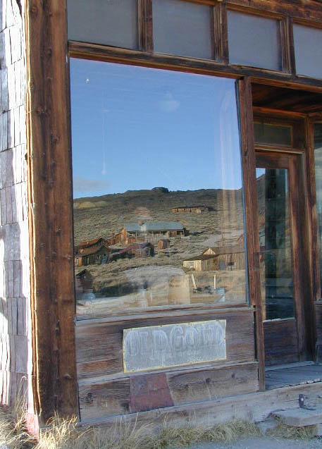
Bodie Ghost Town is the most popular & best preserved historic mining camp in California. Winter months are cold, windy, and often snowy. Late summers can get hot. Plan accordingly.

No services, no pavement, no big trees. Very remote location. Abundant free, boondocking camps in this high desert region, so make sure to get a camp fire permit from the local ranger station in Lee Vining or Bridgeport, CA

Bodie Hills Map

Photo by Morris Neer

nearby destinations:

Bodie Hills Map

Photo by Morris Neer

see also – 

Toiyabe National Forest Map
Hoover Wilderness Trail Map


Mono Lake Map

Mono Lake Map

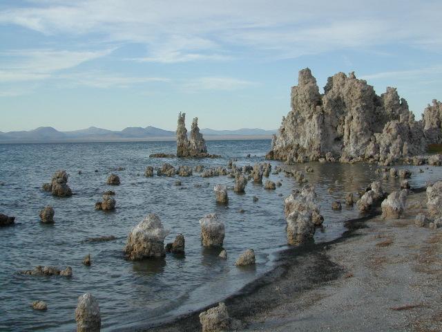
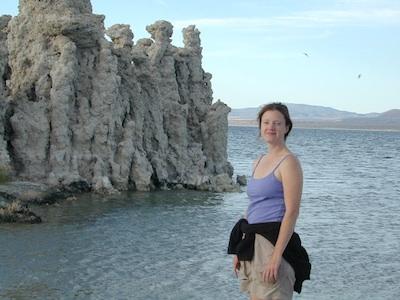
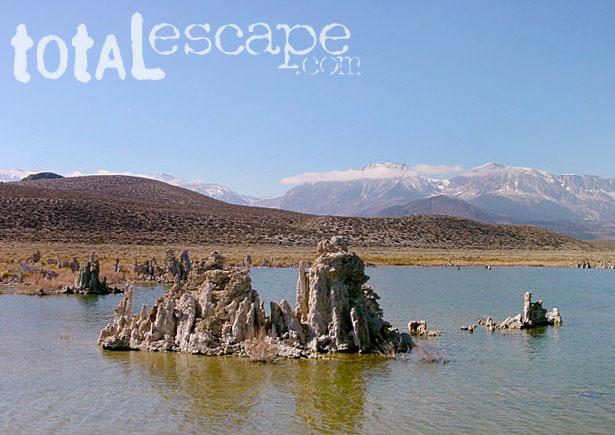
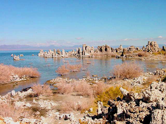
Tufa Towers at Navy Beach, Mono Lake


Mono Lake Topo Map
Mono Lake Topo Map

Mono Lake, Lee Vining & Lundy Canyon

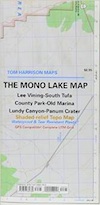
Mono Lake is one of the most popular destinations in the Eastern Sierra region. Tom Harrison is the only topographic map that has all of Mono Lake on one sheet.

Eastern Sierra Lee Vining Trail Map, Lee Vining Canyon South; Areas covered: Lee Vining Hiking, South Tufa Mono Lake, County Park Old Marina, Lundy Canyon, Lundy Topo, Panum Crater.

Durable, waterproof plastic map; Folded. Map Scale: 63K; ISBN# 9781877689789

Mono Lake California 

avenza mapsdownload digital version of this map –
Mono Lake Topo Map

Mono Lake Map

Mono Lake is a saline soda lake in Mono County, California, formed at least 760,000 years ago as a terminal lake in an endorheic basin. The lack of an outlet causes high levels of salts to accumulate in the lake and make its water alkaline.

The high desert lake has an unusually productive ecosystem based on brine shrimp, which thrive in its waters, and provides critical habitat for two million annual migratory birds that feed on the shrimp and alkali flies.

When the city of Los Angeles diverted water from the freshwater streams flowing into the lake, it lowered the lake level, which imperiled the migratory birds. The Mono Lake Committee formed in response and won a legal battle that forced Los Angeles to partially replenish the lake level.

Dissolved salts in the runoff thus remain in the lake and raise the water’s pH levels and salt concentration. The tributaries of Mono Lake include Lee Vining Creek, Rush Creek and Mill Creek which flows through Lundy Canyon.

The basin was formed by geological forces over the last five million years: basin and range crustal stretching and associated volcanism and faulting at the base of the Sierra Nevada.

nearby destinations:

Mono Lake Map

see also –
Ansel Adams Wilderness Map
Bodie Hills Map
Mammoth Lakes Map NatGeo
Toiyabe National Forest Map USDA
Yosemite Highcountry Map

Mono Lake Map


Lundy Canyon
Lundy Lake California

Hoover Wilderness Trail Map
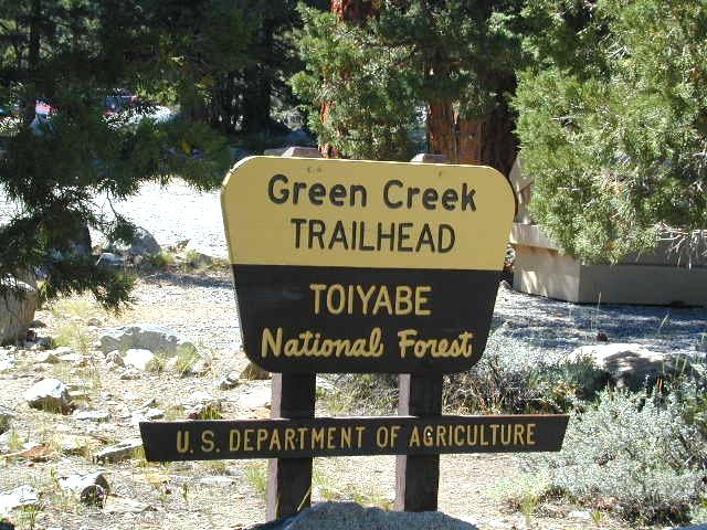
greencreekTH

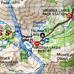
Green Creek trailhead at NFS campground

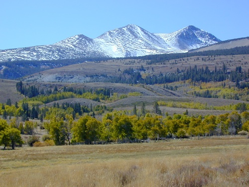
Snowy mountain peaks usually do not melt until late spring, so expect mud or snow from November – May. Summer is great time for warm weather, backpacking, mountaineering, horseback rides to the highcountry, alpine lakes or stream fishing. Aspen groves are excellent in early Autumn.

Mucho wilderness surrounds the actual Hoover Wilderness Area – with Yosemite NP bordering most of west side and US Highway 395 w/ National Forest situated along the eastern side. Cattle grazing is common in summer months on the National Forest land, so don’t freak out at the cows. Always drive slow and cautiously around all livestock.

Hoover Wilderness Map
Tom Harrison Maps

Eastern Sierra Wilderness
Hoover Wilderness Region Trail Map

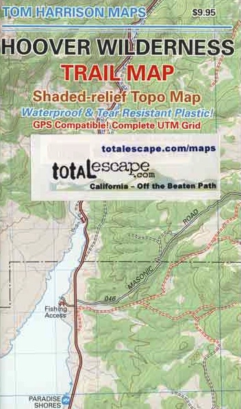
Hoover Wilderness Trail Map, Bridgeport California Backpacking High Sierra CA; Twin Lakes Hoover trailhead access, Lundy Lake, Green Creek Fishing Camping, Virginia Lakes Eastern Sierra, Buckeye Creek Campgrounds, Buckeye Hot Springs, Leavitt Meadows, Matterhorn Peak, Yosemite Park north boundary, Hoover Trail hikeMaps; Durable, waterproof plastic map; Folded. Map Scale: 63.36K; ISBN# 9781877689895

avenza mapsdownload digital version of this map –
Hoover Wilderness Map

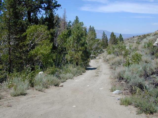
twotracktocamp

Dirt roads for camping, off of Green Creek Road

see also –

Mono Lake Map
Toiyabe National Forest Map USDA
Yosemite Highcountry Trail Map

nearby destinations –

Topo Trail Map

Bridgeport
Buckeye Creek
Buckeye Campground
Buckeye Hot Springs
Green Creek Road
Leavitt Meadows
Matterhorn Peak
Twin Lakes
Virginia Lakes
Yosemite Northeast

Hoover Map

OLD MAP


Hoover Wilderness Trail Map
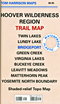
PREVIOUS VERSION


DUNDERBERG Peak

DUNDERBERG MEADOWS