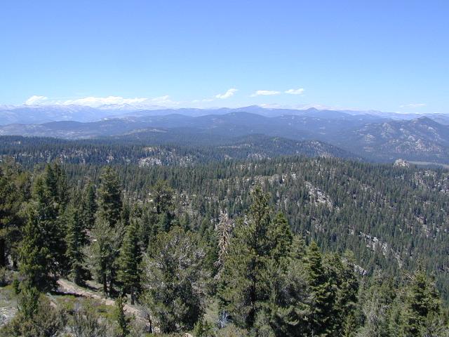
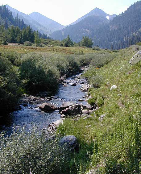
Golden Trout Wilderness is located above the Upper Kern River Gorge, in between the Sequoia National Forest and the Eastern Sierra peaks, on the Inyo National Forest. The northern most trailheads can be accessed through Mountain Home State Forest and also Mineral King Canyon inside Sequoia National Park
Southern trailheads are located at:
- Jerky Meadow, at the end of Lloyds Meadow Road #22S82
- Monache Meadows on the Kern Plateau, Southern Sierra
- Cottonwood Campground via Horseshoe Meadows Road, Eastern Sierra
![]()
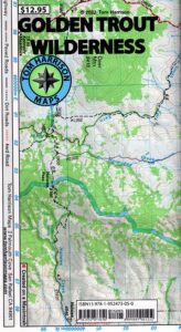
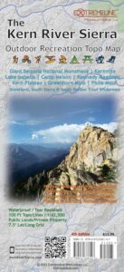
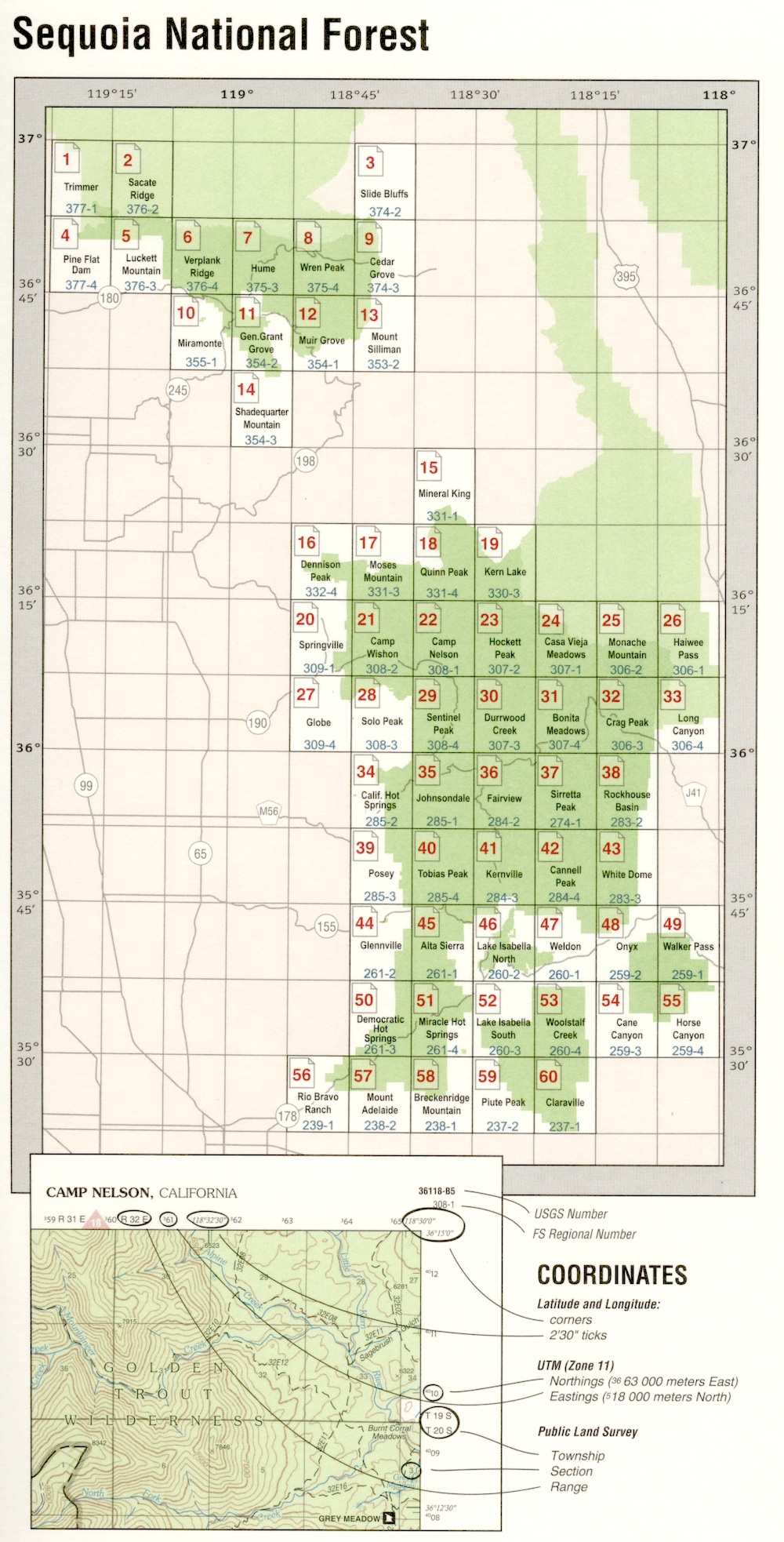
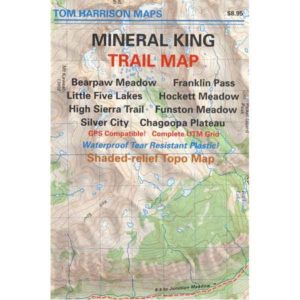
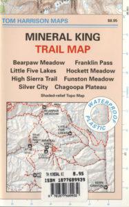
Golden Trout Trail Map
Tom Harrison Maps
OLD VERSION
Golden Trout Wilderness Trail Map, Sequoia National Forest, South Sierra Backpacking Maps, Forks of the Kern River Map, Jerky Meadow Trailhead, Big Whitney Meadow, Kern Peak, Coyote Peaks, Grey Meadow, Little Kern River, Kern Canyon, Jordan Hot Springs, Casa Vieja Meadow, Monache Meadows. Topo Sequoia Camping Kern River; Durable, waterproof plastic map; Folded. Map Scale: 63.4K; ISBN# 9781877689765
![]() download digital version of this map
download digital version of this map
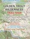
Golden Trout Wilderness Map
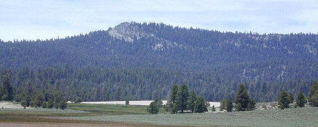
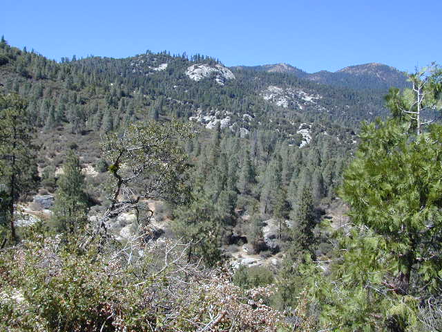
Bake Oven Dunes, near Monache Meadows
Kern Hot Springs. Golden Trout Kern River, Golden Wilderness Trail Map, Sequoia, South Sierra Backpacking Maps, Forks of the Kern River Map, Jerky Meadow Trailhead, Big Whitney Meadow, Kern Peak, Coyote Peaks, Grey Meadow, Little Kern River, Kern Canyon, Jordan Hot Springs, Casa Vieja Meadow, and Monache Meadows: which is wonderful camping, hiking and fishing the South fork of the Kern River. 4×4 recommended to access Monache!
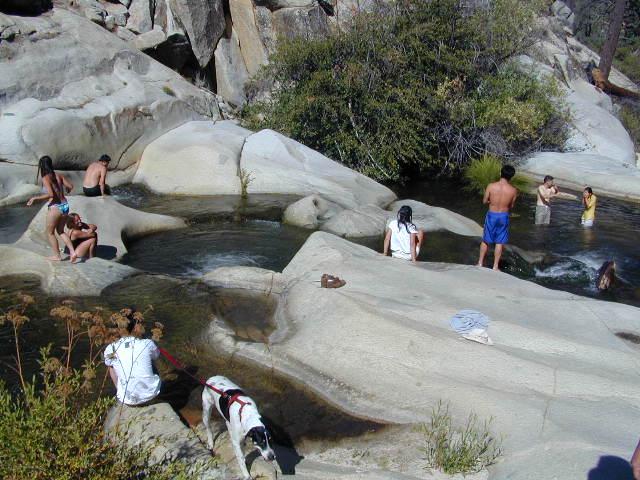
Granite Pools, moderate hiking distance from Camp 4 on Rd# 22S82
Forks of the Kern
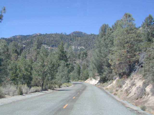
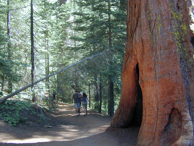
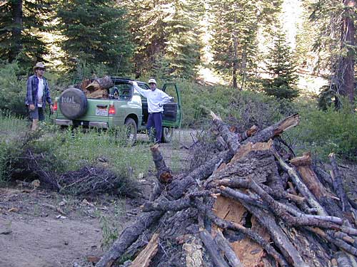
Lloyds Meadow Road is a paved access road – N of Johnsondale, approximately 30+ miles north of Kernville, CA. Sequoia Forest Road #22S82 is also called Jerky Meadows Road and Lloyds Meadow Road; leads north paralleling the Kern River Gorge. This canyon area lies east of and below Dome Rock and Needles, located on the Western Divide Hwy. One developed NFS campground, Lower Peppermint Campground, is situated along Forest Route 22S82. (open seasonally June-November)
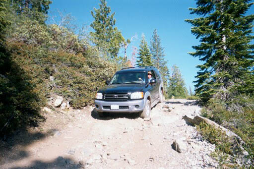
There are also dispersed camping areas located on the opposite side of the street, Camp#2, Camp#3, Camp#3, Camp#4, a few of which are RV accessible. Others may require a high clearance vehicle or 4WD to access the most secluded camps. Horse camping is popular along this route as well.
The paved access road 22S82 dead-ends at the Jerky Meadow trailhead and parking lot. Horse packing, fishing trails and backpacking.
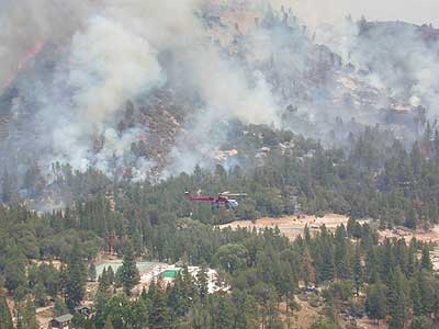
recent wildfires in this area:
Windy Fire 2021
Castle Fire / SQF Complex 2020
McNally Fire 2002
Jerky Meadows Rd is NF Route #22S82

Golden Trout Kern River access on NF Rd #22S82


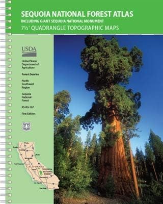

 Areas include: Southern Sierra, Kern Canyon, Hwy. 178, Walker Pass, Kernville, Lake Isabella, Sugarloaf, Domelands, Kern River, Kennedy Mdws, Sherman’s Pass, Monache Mdws, South Sierras, Rincon, Canebrake, Dome Rock, The Needles, Western Divide, Giant Sequoia National Monument, Ponderosa, Springville, Tule River, Mountain Home State Forest, Jennie Lakes Wilderness, Golden Trout Wilderness. It also features the surrounding areas to the Kings Canyon & Sequoia National Parks, plus it has the Kern River Canyon with notable hot springs such as – Miracle, Remington, Democrat, and the historic California Hot Springs.


