Mount Whitney Hiking Maps

Mount Whitney Hiking MapsThe tallest mountain peak in the lower 48 means that this region is a super popular destination with avid hikers, mountaineers and backpackers alike. Physical fitness must be top priority in training for this ultimate bucket list choice.

Usually only accessible about half the year, due to snow (NOV-MAY) and permits are required. To obtain a wilderness hiking permit, you must get chosen from a lottery months in advance. No joke!

Mount Whitney Map

Mt Whitney Topo
by NatGeo Trails Illustrated

Mount Whitney High Country Map
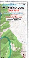
Mount Whitney Zone Map

both Topographic Maps by Tom Harrison (listed below)
Mount Whitney Hiking Maps

Whitney Portal Road

Mount Whitney Zone
Tom Harrison
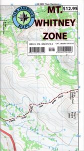
Whitney Zone Map

Mount Whitney Hiking Maps

OLDER VERSION

Mount Whitney Map, Whitney Portal. Topo Trail. Mt Whitney maps. Tom Harrison Trail Map: Mount Whitney Zone Trail Map, Lone Pine, CA; Areas include: Whitney Portal, Crabtree, Cottonwood Lakes, Rock Creek. Whitney Portal Trailheads, Outpost Camp, Trail Camp, Whitney Summit, Mountaineer’s Route, High Sierra Trail, Crescent Meadow, and the John Muir Trail Junction.

Durable, waterproof plastic map; Folded. Map Scale: 31.7K; ISBN# 9781877689697

digital mapsdownload digital version of this map
Mount Whitney Zone Map
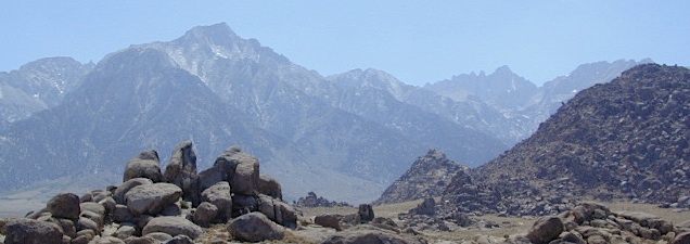
Mount Whitney Hiking Maps

hiker

Mount Whitney Hiking Maps

Mount Whitney High Country Map
Tom Harrison
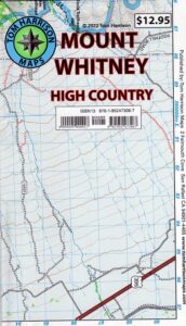
Whitney High Country

Mount Whitney High Country Map, Whitney trail map, Topo trails. Tom Harrison Trail Map: Mount Whitney High Country, with Lone Pine California. Pear Lake, Lodgepole, Mineral King, Mt. Whitney Peak, Kern Canyon, Ash Mountain, Whitney Portal, Little Five Lakes, Bearpaw Meadow, Triple Divide Peak, Cottonwoods Lakes, Horseshoe Meadow. Eastern Sierra, High Sierra Backpacking, Mount Whitney Map, Hike, Inyo National Forest, Eastern Sierra, Mount Whitney Map by Tom Harrison, Hike, Inyo National Forest, Eastern Sierra Hikes, Mt Whitney California Topo, Waterproof, Topographic Maps California, Sierra Whitney Hike, High Country Trails, California Sierra Mountains Durable, waterproof plastic map; Folded. Map Scale: 63K; ISBN# 9781877689512

avenza mapsdownload digital version of this map
Mt. Whitney High Country Map
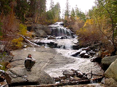
WhitneyFalls

additional
MT. WHITNEY MAPS

Mount Whitney Booklet

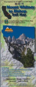
Mount Whitney to Bishop Trail Map

Whitney Topo Map

see also –
NatGeo Mount Whitney Map
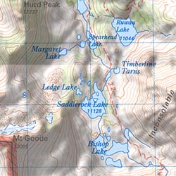
Bishop Pass Map

Bishop Pass Topo Map

Bishop Hiking Eastern Sierra

  • North Lake – 9500′ elev
  • Piute Pass – 11,423′
  • Lake Sabrina – 9132′
  • South Lake – 9755′

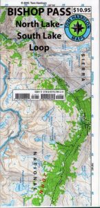
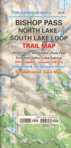
Bishop Pass Trail Map
Tom Harrison

Bishop, CA – located along US Hwy 395 is a hub for travelers and locals alike, in the high desert valley next to the Eastern Sierra range.

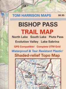
Tom Harrison Trail Map: Bishop Pass Maps, Backpacking Bishop CA; North Lake & South Lake Loop, Evolution Valley. PCT, John Muir Wilderness, LeConte Divide, Inyo National Forest, Inyo High Country, Sierra High Country; Sierra Nevada Passes; Hiking near Mount Whitney Backpacking Trip, california sierra camping; Durable, waterproof plastic map; Folded. Map Scale: 48K; ISBN# 9781877689680

avenza mapsdownload digital version of this map –
Bishop Pass Hiking Map

Bishop Pass Map

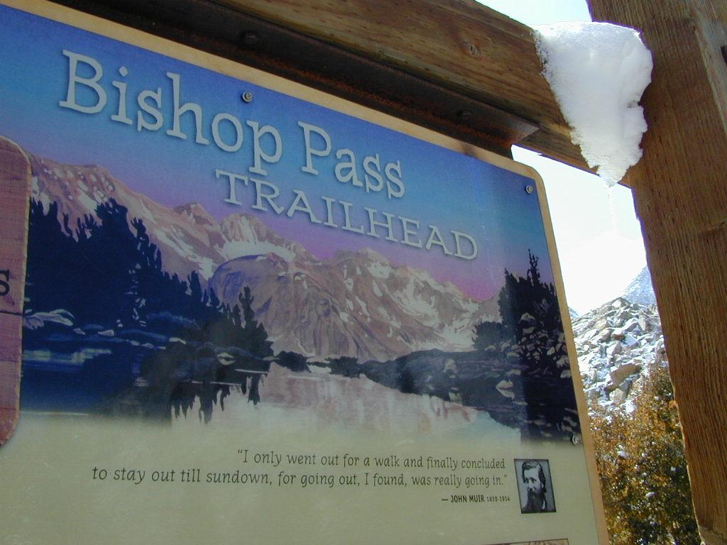
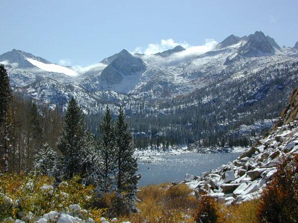
Bishop Pass @ 11,972′ elevation is a high mountain pass in the southern Sierra Nevada, California, on the border of the Inyo National Forest. John Muir Wilderness is located to the north and Kings Canyon National Park to the south. The Bishop Pass

Connecting the Bishop Creek valley with the John Muir Trail & Pacific Crest Trail. Bishop Pass is located west of Mount Agassiz, surrounded by multiple alpine lakes in the Dusy Basin and the Bishop Lake basin.

Bishop Pass Map

High Sierra backcountry access to –

Bishop Pass Map

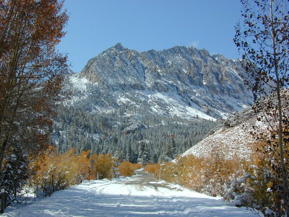
South Lake, above Bishop, California

see also –

Bishop Pass Map

previous edition

Bishop Pass Map

Piute Pass Hiking

Piute Pass & Piute Crags near North Lake

Bishop Pass Map

OLDER EDITION

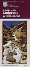
Emigrant Wilderness Map

Emigrant Trail Maps

emigrantsign

Emigrant Wilderness Area
part of Stanislaus National Forest

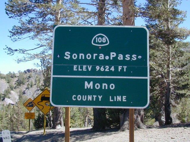
Highway 108 – Sonora Pass
Sierra Nevada Gold Country
North of Yosemite National Park

Emigrant Wilderness Map USDA

OLD VERSION

High Sierra with deep snow closes this region annually. This is usually the last Sierra Hwy Pass to OPEN for through-traffic in summer. It gets more snow than Yosemite. Check local rangers for all road conditions, fire info, trail access points before departing on a backcountry trip. Wilderness permits and campfire permits are always required!

Waterproof Plastic Paper. 1″ to mile; Usually only found at Ranger Stations – Hard to find maps. Perfect for a day hike reference or extended backpacking adventures. Printed on plastic in 2016. ISBN# 9781628114133


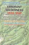
Emigrant Wilderness Trail Map

Topo Maps by Tom Harrison

Emigrant Wilderness Map

OLD VERSION

Tom Harrison Trail Map: Emigrant Wilderness Map Trail Map, Sonora Pass Map, Sierra Nevada; Kennedy Meadows, CA. Pinecrest Lake, Dodge Ridge, Relief Reservoir, Leavitt Lake, Leavitt Meadows, The Dardanelles, Eagle Meadows; Sonora River fishing, Dardanelle CA. Durable, waterproof plastic map; Folded. Map Scale: 63.4K; ISBN# 9780989457910

Wilderness Press Topographic Map


Emigrant Wilderness Map

see also –

Stanislaus National Forest Map
Stanislaus Forest Atlas
Yosemite High Country Map

Whitney Map

Mount Whitney
by NatGeo Map #322

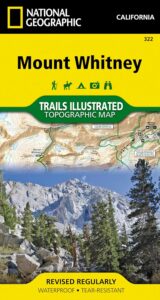
Whitney MapMount Whitney is universally famous as the highest peak in the contiguous United States, as well as the highest point in California. National Geographic’s Trails Illustrated map of Mount Whitney delivers unmatched detail and valuable information to assist you in your exploration of this beautiful region. Expertly researched and created in partnership with local land management agencies, this map features key areas of interest including Sequoia, Kings Canyon NP, Inyo NF and John Muir Wilderness; South Fork Kern River; Diaz Lake; and Cottonwood Lakes.

Whitney MapWith miles of mapped trails including the popular Pacific Crest and John Muir trails, this map can guide you off the beaten path and back again in some of the most breathtaking scenery in the region. The clearly marked trails include mileage between intersections. A Mount Whitney trail profile inset showing the changes in altitude from various points along the Pacific Crest Trail Junction and the Whitney Portal Trailhead provides a handy tool for hikers. Scenic byways are noted for those wishing to take in the scenery by car. The map base includes contour lines and elevations for summits, passes and many lakes. Some of the many recreation features noted are campgrounds, trailheads, boat launches, swimming and fishing areas, and pack stations. Map includes helpful information about climbing Mount Whitney. (which you should do online and offline, months in advance, if you really plan to hike the peak)

Inyo National Forest National Forest Maps

Whitney Lottery?

USEFUL LINKS:

amigo on whitney

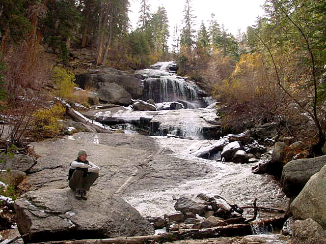
waterfalls

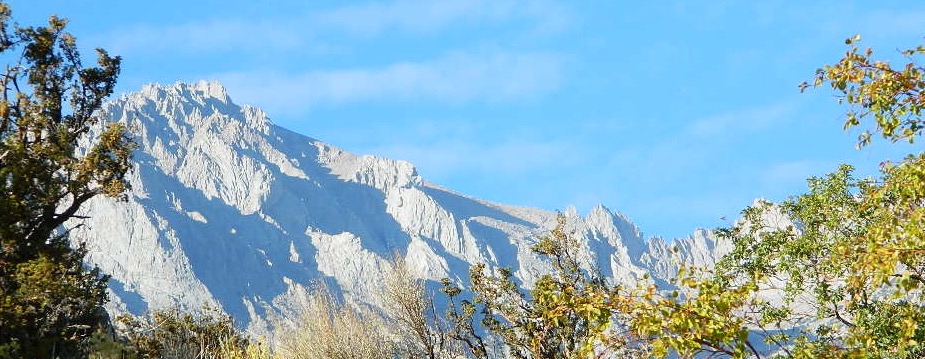
mount whitney

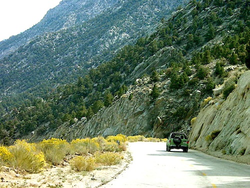
Whitney Portal is a tourists attraction, as well as a NFS campground, and trailhead for the thousands of hikers who visit the area. Whitney Portal Road leads uphill 20 miles from US 395 @ Lone Pine, CA

see also –

Mt Whitney Zone Map & Mount Whitney Highcountry Map, both by Tom Harrison Maps

Inyo National Forest Map USDA

Inyo National Forest Topo Atlas 

Bishop Pass Trail Map

John Muir Wilderness / JMT Maps

Golden Trout Wilderness Maps

Whitney Map

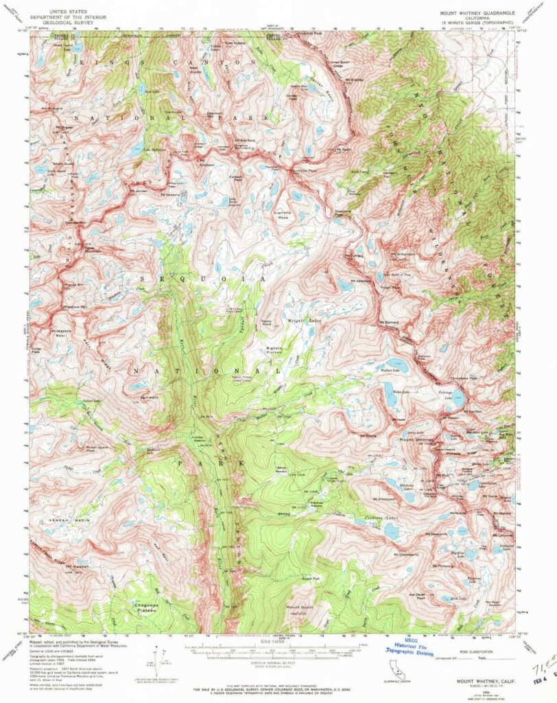
Mount Whitney Topo

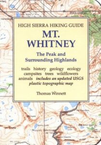
by Wilderness Press Maps

Whitney Map

whitneystore

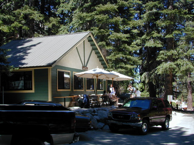
Whitney Portal Store & Cafe

EASTERN SIERRA US 395

nearby towns: