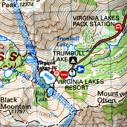
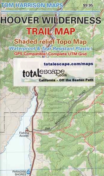
Hoover Wilderness Trail Map
Tom Harrison Topo Map

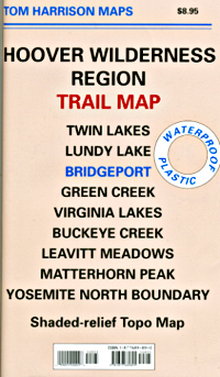
Hoover Wilderness Trail Map, Bridgeport California Backpacking High Sierra CA; Twin Lakes Hoover trailhead access, Lundy Lake, Green Creek Fishing Camping, Virginia Lakes Eastern Sierra, Buckeye Creek Campgrounds, Buckeye Hot Springs, Leavitt Meadows, Matterhorn Peak, Yosemite Park north boundary, Hoover Trail Maps; Fishing lakes, horseback trails, creeks, peaks and more high country bliss. Autumn colors are spectacular in this region.
Durable, waterproof plastic map; Folded. Map Scale: 63.36K; ISBN# 9781877689895
![]() download digital version of this map
download digital version of this map
Hoover Wilderness Map
area attractions
- Green Creek Camping
- Dunderburg Meadows
- Autumn Aspen Groves
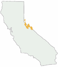
- Hoover Wilderness Area
- Toiyabe National Forest
- US Highway 395, Eastern Sierra
- Travertine Hot Springs
- Bodie Ghost Town State Park
- Buck Eye Hot Springs
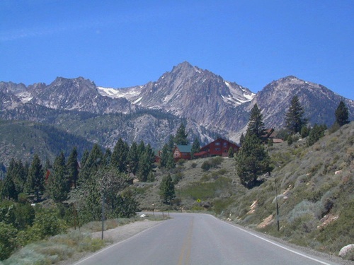
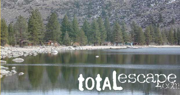
Mountain peaks in Hoover Wilderness tower above Twin Lakes, CA
Trails Illustrated Maps by National Geographic makes a Yosemite NORTH EAST map that covers Tuolumne Meadows, Tioga Pass and the Hoover Wilderness Area. Topographic, colorful, waterproof.


see also –
Toiyabe National Forest Map
Tuolumne Meadows Map
Yosemite Highcountry Map
Merced & Tuolumne Rivers Map

nearby towns:
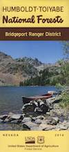
Hoover Wilderness Map USDA
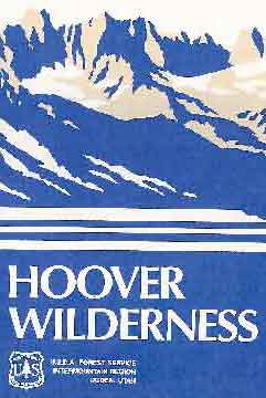
USDA Hoover Map
Hoover Wilderness (Part of Southern Toiyabe NF), Bridgeport California; Green Creek, Twin Lakes, Hiking trails, topographic.
Paper Map might be found only at USFS Ranger Stations – Toiyabe National Forest
1″ to mile; Perfect for a day hike reference,hiking to fishing lakes or an extended backpacking adventure. Way less crowded than the western side of the Sierra Nevada mountains.
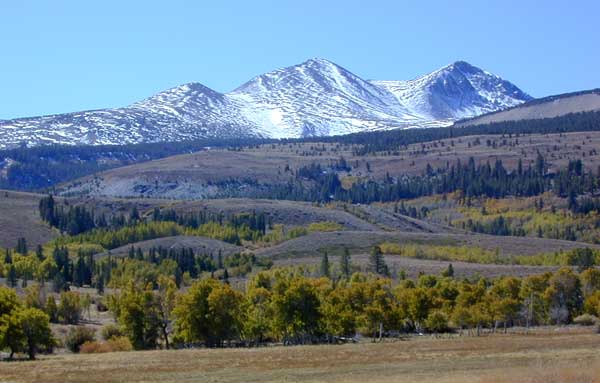
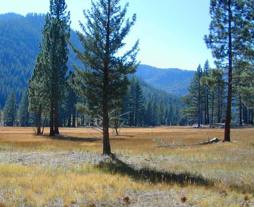
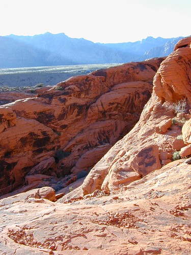
Dunderburg Meadow, east of Hoover Wilderness
Backpacking Hoover Wilderness, Topo, Hiking Trails, Southern Toiyabe NF, Bridgeport California; Green Creek, Twin Lakes Hiking, Backpacking Bridgeport, Sierra Nevada, Toiyabe Forest, Eastern Sierra Hikes
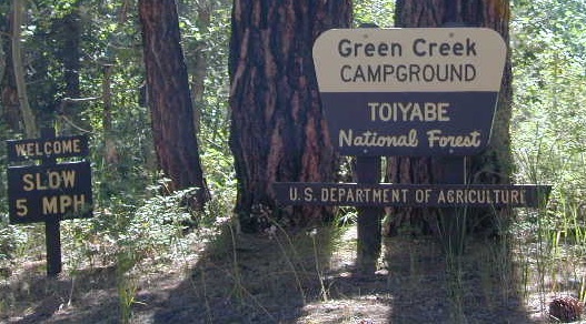
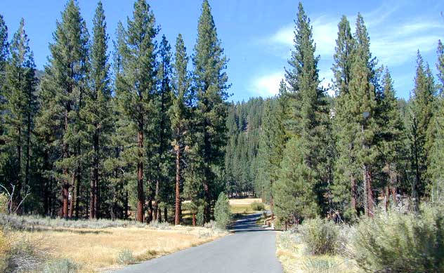
Green Creek has trailheads to Hoover Wilderness
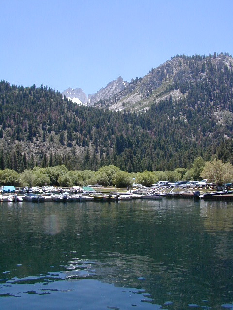
Twin Lakes is located on the east side of Hoover, while Yosemite lies on the west.
OLDER VERSION
REAL OLD MAP