Bishop Pass Map

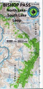
Bishop Pass Topo Map

Bishop Hiking Eastern Sierra

  • North Lake – 9500′ elev
  • Piute Pass – 11,423′
  • Lake Sabrina – 9132′
  • South Lake – 9755′

Bishop Pass Trail Map
Tom Harrison

Bishop, CA – located along US Hwy 395 is a hub for travelers and locals alike, in the high desert valley next to the Eastern Sierra range.

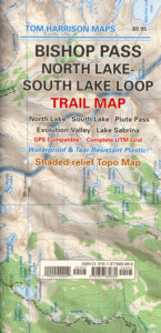
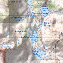
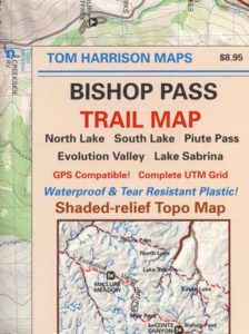
Tom Harrison Trail Map: Bishop Pass Maps, Backpacking Bishop CA; North Lake & South Lake Loop, Evolution Valley. PCT, John Muir Wilderness, LeConte Divide, Inyo National Forest, Inyo High Country, Sierra High Country; Sierra Nevada Passes; Hiking near Mount Whitney Backpacking Trip, california sierra camping; Durable, waterproof plastic map; Folded. Map Scale: 48K; ISBN# 9781877689680

avenza mapsdownload digital version of this map –
Bishop Pass Hiking Map

Bishop Pass Map

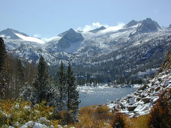
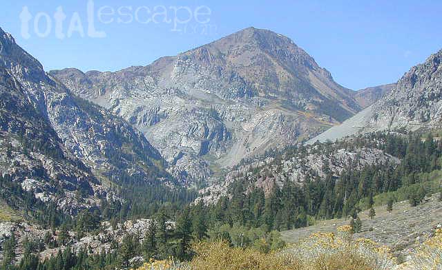
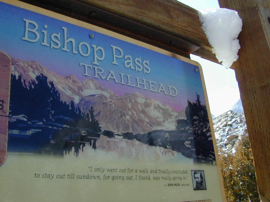
Bishop Pass @ 11,972′ elevation is a high mountain pass in the southern Sierra Nevada, California, on the border of the Inyo National Forest. John Muir Wilderness is located to the north and Kings Canyon National Park to the south. The Bishop Pass

Connecting the Bishop Creek valley with the John Muir Trail & Pacific Crest Trail. Bishop Pass is located west of Mount Agassiz, surrounded by multiple alpine lakes in the Dusy Basin and the Bishop Lake basin.
Bishop Pass Map

High Sierra backcountry access to –

Bishop Pass Map

South Lake, above Bishop, California

see also –

Bishop Pass Map

previous edition

Bishop Pass Map

Piute Pass Hiking

Piute Pass & Piute Crags near North Lake
Bishop Pass Map

OLDER EDITION

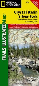
Crystal Basin Silver Fork Map

Crystal Basin Map
Crystal Basin & Silver Fork
of Eldorado NF
NatGeo Map # 806

Loon Lake, Central Sierra Nevada Maps

hikers mapTrails Illustrated Map from National Geographic. Crystal Basin / Silver Fork Map inside El Dorado National Forest map #806. 4×4 routes for the Rubicon Trail – all the way to Tahoe. Loon Lake, Union Valley Reservoir, Ice House Reservoir. Auburn State Recreation Area (Auburn SRA) and Carson – Emigrant Historic National Recreation Trail. Pony Express National Historic Recreation Trail.
Mountain bike trails, backpacking routes, equestrian and hiking trail mileage. High country map. Many rivers, roads and trails to explore. 2-sided map. Very detailed & colorful. Waterproof Plastic Map; Tear Resistant. GPS data. Scale = 1:63,360 ISBN#9781566952644

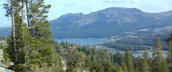
Silver Lake @ Carson Pass

Crystal Basin Silver Fork

The Crystal Basin spreads over 85,000 acres north of Highway 50 and west of Desolation Wilderness. Wonderful views of the Crystal Range extends north along the ridge from prominent Pyramid Peak (9963′ elev), Mount Price, Red Peak, and Silver Peak.

The Crystal Basin Recreation Area is a joint development between the Sacramento Municipal Utility District and the National Forest Service. SMUD operates a series of reservoirs and hydroelectric powerhouses which furnish energy to the Sacramento area.

Plasses

see also –

Carson Iceberg Wilderness Map
Desolation Wilderness Trail Map
Eldorado National Forest Map
Gold Country Maps

Sequoia National Forest Map

Sequoia Mapssierra redwoods map

NFS – USDA – U.S. Forest Service

Sequoia National Forest Map

Kern River Canyon, Upper Kern, Lower Kern, Kern Plateau, Western Divide Highway, The Needles, Mountain Home SF, Sequoia National Park, Kings Canyon NP

River Raft Launch Spots, All Creeks, Peaks, Elevations, 4WD & every dirt Back Road, Hot Springs, Equestrian Areas, all Campgrounds, Hiking Trails & Backpacking Trailheads.
Sequoia Forest Maps
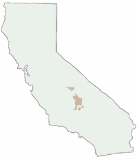
Areas include: Southern Sierra, Giant Sequoia, Western Divide Highway, Kern Canyon, Hwy. 178, Walker Pass, Kernville, Lake Isabella, Sugarloaf, Domelands, Kern River, Kennedy Mdws, Sherman’s Pass, Monache Mdws, South Sierras, Rincon, Canebrake, Dome Rock, The Needles, Western Divide, Ponderosa, Springville, Tule River, Jennie Lakes Wilderness, Golden Trout Wilderness, surrounding areas to Kings Canyon & Sequoia National Park, Miracle, Democrat, California Hot Springs.

Map Size: 28″x 54″ overall / 4″x9″ folded; Printed on waterproof plastic in 2011. ISBN# 9781593515096


sequoia grove map

USDA map

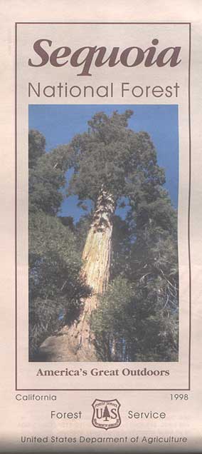
1998 Sequoia NF Map

Sequoia National Forest Maps
previous versions of this map:

Giant Sequoia Map

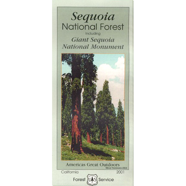
2001 Giant Sequoia Map USDA

see also
Sequoia Forest Topo Atlas
Sequoia National Park Maps
Mineral King Map
Dome Land Wilderness Map
Southern Sierra Wilderness Map
Golden Trout Wilderness Maps
Kern Recreation Map

Best Kern River Camping, Western Divide Giant Sequoia, Southern Sierra Nevada Mountains

topo maps south sierra

2022: Recent wildfires have taken a huge toll on the Sequoia groves of the Western Divide (Southern Sierra) and ancient groves inside the National Parks (Central Sierra). Forests all around Alta Sierra, California were burnt, as well as the paved route to Jerky Meadows.  Campgrounds could be closed, dirt roads gated and locked; hiking trails off limits. Visit the Sequoia National Forest web site for up-to-date info regarding closures.

horse trail maps

Sequoia & Kern River Links

Big Meadow Sequoia
Dispersed Camping Sequoia 
Kern Flats Free Camping
Kern River Campgrounds
Kern River Camping
Kern River Canyon
Kern River Hot Springs
Lloyds Meadow Rd
Sequoia NF Camping
Sequoia OHV
Trail of 100 Giants Grove
Mountain Home State Forest

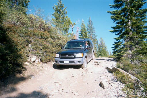
SequoiaSUV

Toyota Sequoia SUV 4×4

Kern River Camping, Giant Sequoia Park:

Sequoia National Forest

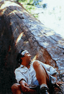
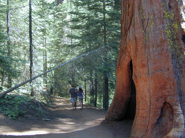
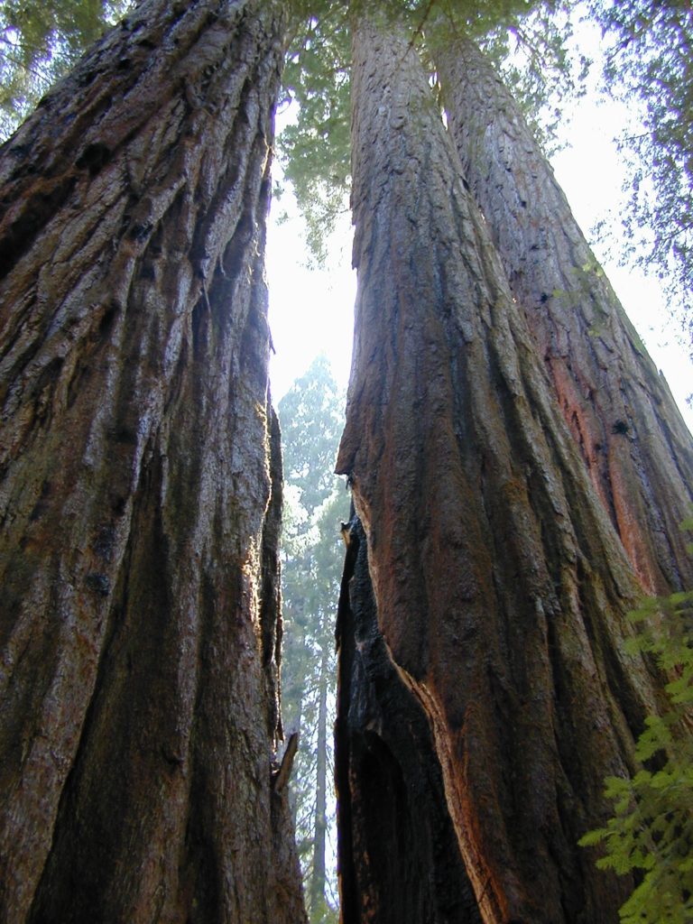
Giant Sequoia Pair

Giant Sequoia Pair

Tom Harrison Yosemite Maps

Yosemite Trail Maps
by Tom Harrison

Tom Harrison Yosemite Maps

Compact, waterproof, topographic maps for Yosemite National Park and surrounding high country. High Sierra, backcountry. Backpack, horse pack, trailheads, camps, mountain climbing every day!

Central Sierra Nevada mountains.
Tioga Pass = 9943′ elevation

Tom Harrison Yosemite Maps

Yosemite NP overview map –
Yosemite National Park Map
by Tom Harrison Maps

Tom Harrison Recreation Map

Yosemite National Park Map, Topo Map Yosemite Parks Trails, Hiking Trails Yosemite overview Map; GPS compatible, UTM grid; Shaded relief topo map. Durable, waterproof plastic map; Compact and folded. Map Scale: 125K; ISBN# 9781877689505


Tom Harrison Yosemite Maps

Yosemite Valley Trails Map

Tom Harrison Yosemite Maps

Waterfalls & Half Dome Hiking Trail Map

Tom Harrison Yosemite Maps

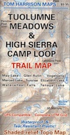
Tuolumne Meadows & High Sierra Camps
(OUTTA PRINT)

Tom Harrison Yosemite Maps

Yosemite High Country Trail Map
(OUTTA PRINT)

Tom Harrison Yosemite Maps

see also –

NatGeo Yosemite Maps
Ansel Adams Wilderness
Hoover Wilderness Trail Map
John Muir Wilderness Maps

Tom Harrison Yosemite Maps