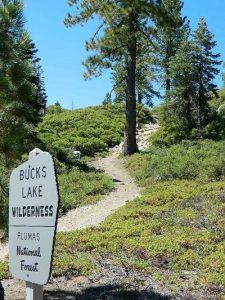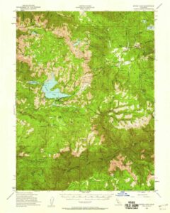
Bucks Lake Wilderness Map

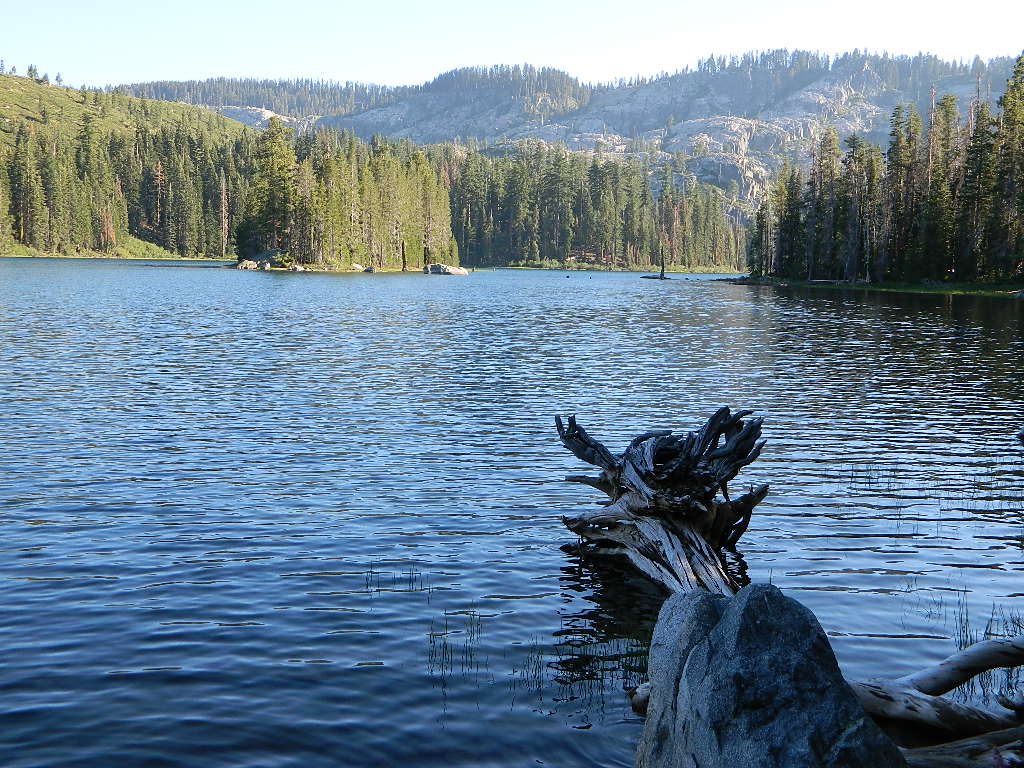
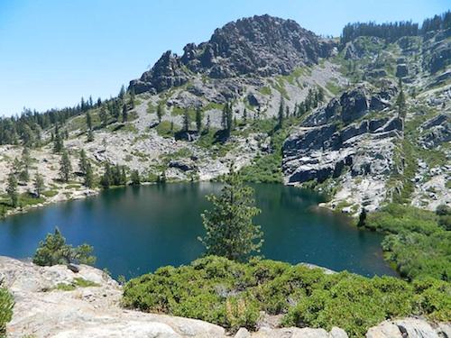
Gold Lake @ Bucks

Bucks Lake Topo Map

Topo Map

Bucks Lake Wilderness Map

Bucks Lake Map
Bucks Lake Wilderness Map USDA
Map Scale = 2″ to 1 mile; Printed on paper in 1990.
Available @ USGS.gov
and at Plumas Ranger Station, Quincy, CA

Bucks Lake Wilderness @ Bucks Lake
Northern Sierra Nevada mountains

NFS

TrailheadsEast of Oroville, CA
West of Quincy, CA

Plumas National Forest

Bucks Lake Wilderness Map

South of Mount Lassen, deep in the forests west of Quincy & Meadow Valley, lies a few small alpine lakes in and around the bigger Bucks Lake, a resort cabin community with dining, overnight lodging, cabin rentals, RV and tent campgrounds. Indian Rock is a popular DAY USE beach along the west shoreline.

Wilderness hiking trails climb to peaks and lakes at higher elevations.

Topo maps are perfect for a day hike reference or extended backpacking adventures. Pacific Crest Trail access. Bucks Lake has numerous developed campgrounds, smaller lakes and many miles of trails to explore.
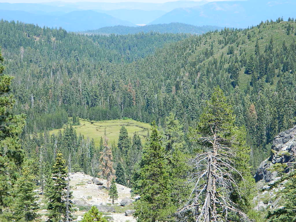


Jacks Meadow
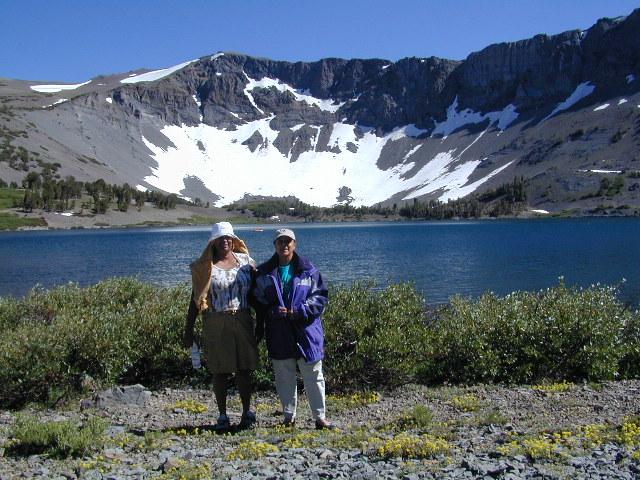
Jacks Meadow
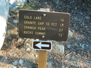
gold lake sign

silver lake bucks lake

Silver Lake has a small campground accessed via dirt road.

Bishop Pass Map

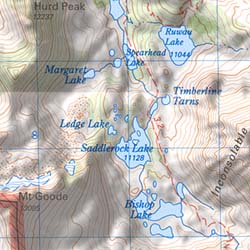
Bishop Pass Topo Map

Bishop Hiking Eastern Sierra

  • North Lake – 9500′ elev
  • Piute Pass – 11,423′
  • Lake Sabrina – 9132′
  • South Lake – 9755′

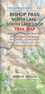
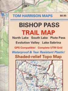
Bishop Pass Trail Map
Tom Harrison

Bishop, CA – located along US Hwy 395 is a hub for travelers and locals alike, in the high desert valley next to the Eastern Sierra range.

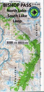
Tom Harrison Trail Map: Bishop Pass Maps, Backpacking Bishop CA; North Lake & South Lake Loop, Evolution Valley. PCT, John Muir Wilderness, LeConte Divide, Inyo National Forest, Inyo High Country, Sierra High Country; Sierra Nevada Passes; Hiking near Mount Whitney Backpacking Trip, california sierra camping; Durable, waterproof plastic map; Folded. Map Scale: 48K; ISBN# 9781877689680

avenza mapsdownload digital version of this map –
Bishop Pass Hiking Map

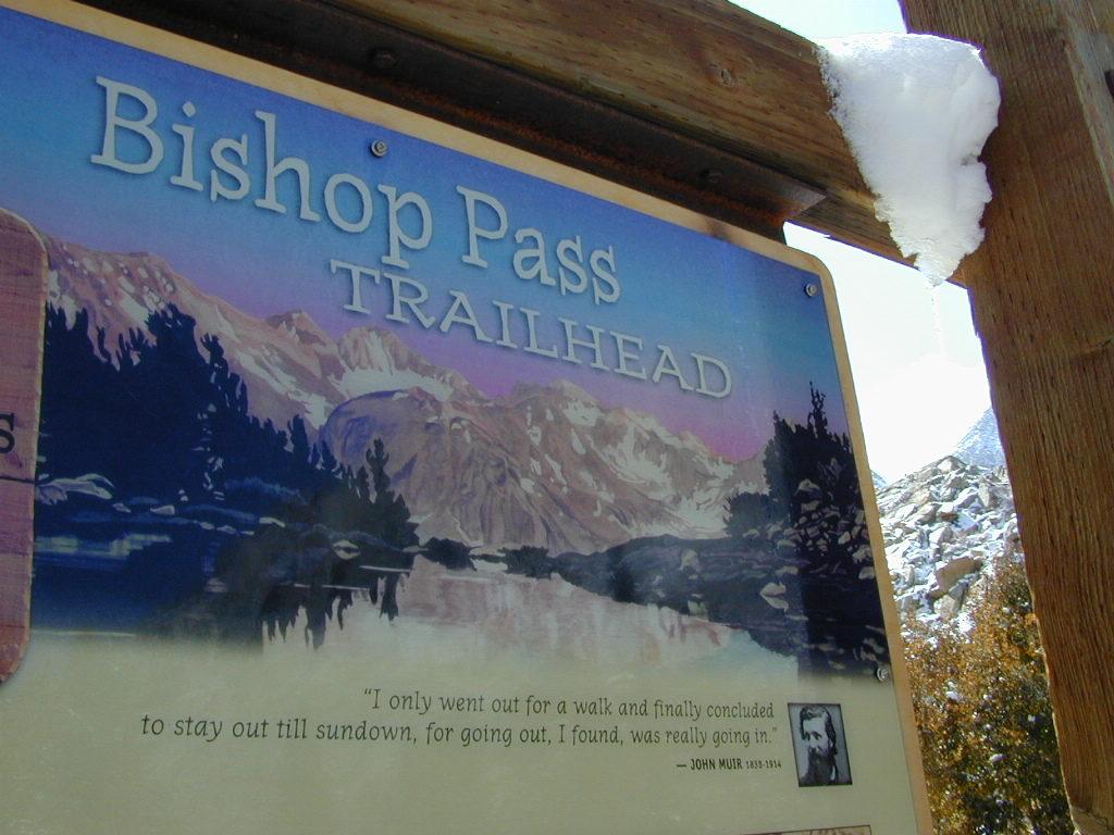
Bishop Pass Map

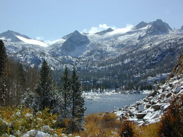
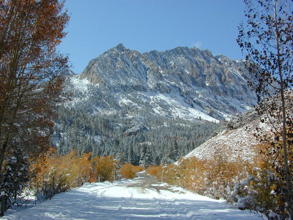
Bishop Pass @ 11,972′ elevation is a high mountain pass in the southern Sierra Nevada, California, on the border of the Inyo National Forest. John Muir Wilderness is located to the north and Kings Canyon National Park to the south. The Bishop Pass

Connecting the Bishop Creek valley with the John Muir Trail & Pacific Crest Trail. Bishop Pass is located west of Mount Agassiz, surrounded by multiple alpine lakes in the Dusy Basin and the Bishop Lake basin.

Bishop Pass Map

High Sierra backcountry access to –

Bishop Pass Map

South Lake, above Bishop, California

see also –

Bishop Pass Map

previous edition

Bishop Pass Map

Piute Pass Hiking

Piute Pass & Piute Crags near North Lake

Bishop Pass Map

OLDER EDITION

Tuolumne Meadows Map

Tuolumne Meadows Map
Tuolumne Trail Map
Tom Harrison

2022: OUTTA PRINT & UNAVAILABLE

HIGH SIERRA CAMP LOOP
Tuolumne climbing. Tuolumne falls. Tuolumne hikes.

Tuolumne Meadows Map

PREVIOUS VERSION

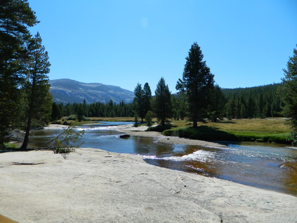
Tuolumne Meadows & Tuolumne River

Yosemite National Park hikes

Tuolumne Meadows Trail Map; Yosemite Tuolumne Mdws Hiking Map. Areas include: High Sierra Camps, May Lake, Vogelsang Camp, Sunrise Camp, Elizabeth Lake, Tenaya Lake, Yosemite Backcountry Highcountry, Waterwheel Falls, Merced Lake, Glen Aulin. Map features the entire High Sierra Camp Loop Trail, and interception of the John Muir Trail and the Pacific Crest Trail.

Topo Yosemite Topo Maps Backpacking Tuolumne High Country, High Sierra Loop Maps; GPS Compatible. Durable, waterproof plastic map; Folded. Map Scale: 42K; ISBN# 9781877689802

Tuolumne Meadows Mapdownload digital version of this map –
Tuolumne Meadows Hiking Map

to Vogelsang

Vogelsang Camp

Vogelsang Camp

High Sierra Camps at Yosemite National Park are a network of summer tent cabin camps, erected in the wilderness, that are linked by a 50 mile loop hiking trail. The only way to reach these camps is on foot. Call it ‘ultralight backpacking’ cuz you can leave out the tent, stove and half the food. Meals are prepared in kitchens at each camp. Passing alpine lakes, creeks, meadows and granite peaks, the trails cover granite slabs, waterfalls, wildflowers and epic views of the back country. Advance reservations are required.

HSC Loop:

  • Tuolumne Meadows Camp
  • Volgelsang Camp
  • Lake Merced Camp
  • Sunrise Camp
  • May Lake Camp

Hiking Maps

see also –

All Yosemite Maps by Tom Harrison
Half Dome Trail Map
All Yosemite Maps by NatGeo
Ansel Adams Wilderness Maps
John Muir Trail Map 

Emigrant Wilderness Maps

Several map makers have waterproof topo maps covering the Emigrant Wilderness Area. Some have more than one wilderness per map, so know the MAP SCALE before you buy one, especially if you need it for an overnight backpacking adventure with super details.

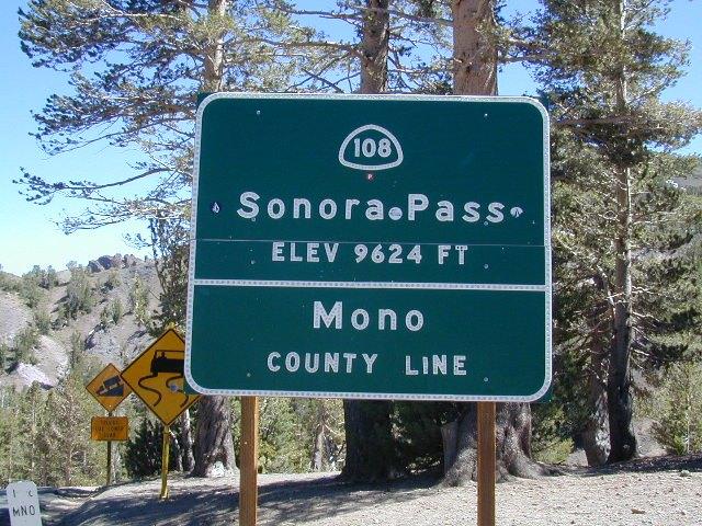
Day hikes into EMIGRANT WILDERNESS AREA from – Sonora Pass (Hwy 108) or Yosemite @ Cherry Lake (Hwy 120).

Emigrant Wilderness – Central Sierra Nevada California

Emigrant Wilderness Maps

Emigrant Wilderness Map USDA

Emigrant Wilderness, South of CA 108 – Sonora Pass
part of Stanislaus NF and north of Yosemite National Park

Emigrant Wilderness Maps

OLD VERSION

High Sierra with deep snows close this region annually. Check local rangers for all road conditions, fire info, trail access points before departing on a backcountry trip. Wilderness permits and campfire permits are always required!

Waterproof Plastic Paper. 1″ to mile; Usually only found at Ranger Stations – Hard to find maps. Perfect for a day hike reference or extended backpacking adventures. Printed on plastic in 2016. ISBN# 9781628114133

Emigrant Wilderness Maps

Emigrant Wilderness Trail Map
Tom Harrison

Tom Harrison Trail Map: Emigrant Wilderness Map Trail Map, Sonora Pass Map, Sierra Nevada; Kennedy Meadows, CA. Pinecrest Lake, Dodge Ridge, Relief Reservoir, Leavitt Lake, Leavitt Meadows, The Dardanelles, Eagle Meadows; Sonora River fishing, Dardanelle CA. Durable, waterproof plastic map; Folded. Map Scale: 63.4K; ISBN# 9780989457910

Emigrant Wilderness Maps

previous version

NatGeo Wilderness Areas: Carson Iceberg, Emigrant & Mokelumne

Emigrant Wilderness Maps

Sonora Pass exploring, in search of wildflowers (mid-JULY)

Wilderness Press Topo Map: Yosemite & Vicinity