Canyonlands Map

Canyonlands National Park: Utah Maps

Canyonlands Map

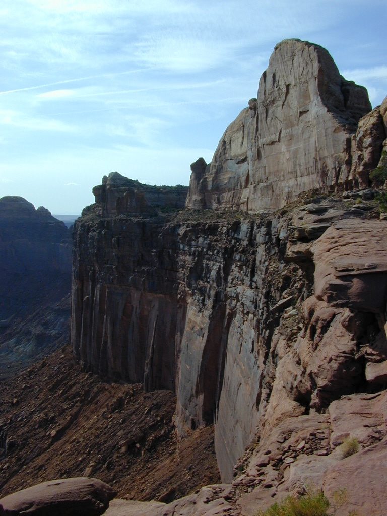
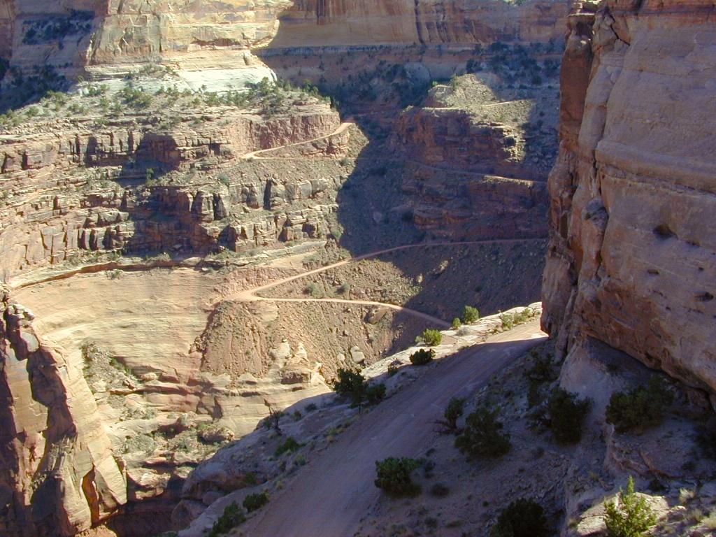
This scenic National Park is so large there are several maps covering this mini-Grand-Canyon-looking desert destination. White Rim Trail is a popular mountain bike route and primitive camping area, but it is extremely rugged and requires a 4 wheel drive vehicle.

Canyonlands Map

Canyonlands Map
Canyonlands Maps by NatGeo

The park preserves a colorful landscape eroded into numerous canyons, mesas, and buttes by the Colorado River, the Green River, and their respective tributaries. This National Park is divided into four districts: the Island in the Sky, the Needles, the Maze, and the combined rivers—the Green and Colorado—which carved two large canyons into the Colorado Plateau. While these areas share a primitive desert atmosphere, each retains its own character.

Canyonlands Map

Canyonlands Map

Canyonlands Map


Canyonlands Map

Schaffer Trail, a most scenic drive that leads back to Moab.

see also – camp maps

Arches National Park Map
Utah Maps
Moab Utah

Rock Creek OHV Map

OUTTA PRINT
[NO LONGER AVAILABLE]

Gold Country Trails
El Dorado National Forest
Rock Creek OHV Map

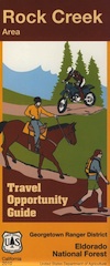
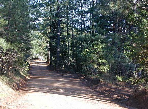
Older Rock Creek off-road map had a new name and was split into 2 maps. Gold Country Foothills OHV. This forested area is just west of the 4×4 Rubicon Trail and very popular among the off roaders and equestrian riders.

Eldorado Travel Opportunity Guide (North)
Georgetown @ Rubicon

Eldorado Travel Opportunity Guide (South)
Amador & Placerville

rock creek OHV

OLD VERSION

Rock Creek OHV inside El Dorado National Forest, Georgetown Ranger District. Multi-use recreation area near the central Sierra Nevada Gold Country. Darlington Ridge Mountains, Quintette, Bear Creek Road, Bald Mountain Canyon, Mace Mill, Dutch Canyon, One-Eye Creek Trail, Wentworth Springs, Balderson Corral, Dru Barner Campground. This RockCreek is on the western side of the Sierra Nevada range, not to be confused with the Eastern Sierra Rock Creek, N of Bishop, CA

USDA, waterproof, topographic map with hiking, equestrian and off road trails. Dirt bikes, quads, 4×4 rigs. OHV routes, creeks, rivers, trailheads, back roads and one campground. Georgetown hikes. hiking. Waterproof plastic. Scale 1:29,816 / GPS shown in degree minute format.

nearby towns –

You may need to really search to find a 4WD map for this area.

Below is a good overview map, a topo map, a link to local books, for the Gold Country region of California

Gold Country Books

Gold Country 2000

NatGeo Baja Maps

NatGeo Baja Maps

National Geographic
Baja Maps
NatGeo Baja Maps

  • camp
  • fish
  • hike
  • kayak
  • missions
  • off-road
  • petroglyphs
  • RV
  • scuba
  • surf
  • travel

NatGeo Baja Map Pack Bundle

Baja California, North & SouthNatGeo Baja Maps

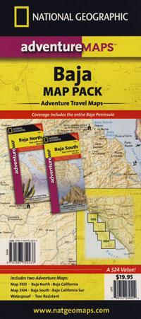
The Baja California Map Set from National Geographic. Includes both maps: Baja Norte & Baja Sur Maps. #3103 & #3104. Topographical features, towns, ranchos, main dirt roads, coves, beaches, fishing spots, surf spots, sailing; beautifully detailed. GPS compatible w/ full UTM grid. Printed on plastic in 2008. Waterproof, tear-resistant. ISBN# 9781597752237

Baja California Mexico, BC MX, Baja Norte, Baja Sur, Baja Maps, Map Set, Bundle, National Geographic Maps

avenza mapsget a digital version of this 2 map set
Baja Map Pack by NatGeo
 

NatGeo Baja Maps

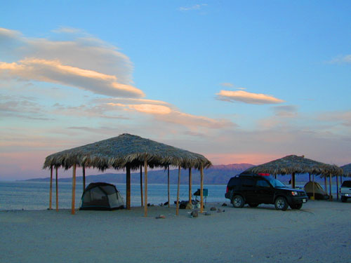
Gonzaga Bay, Baja California

NatGeo Baja Maps

Baja Norte NatGeo Mapbajanorte

Baja California Norte Map / Map of Baja Norte / Baja California

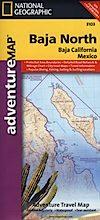
Baja California maps by National Geographic #3103. Baja Norte Map. This map covers the northern portion of Baja California Mexico. Topographical features, towns, ranchos, main dirt roads, coves, beaches, fishing spots, surf spots, sailing; beautifully detailed. GPS compatible w/ full UTM grid. Waterproof, tear-resistant. ISBN# 9781566952439

avenza mapsget a digital version of this map
NatGeo Map 3103 – Baja California North
NatGeo Baja Maps

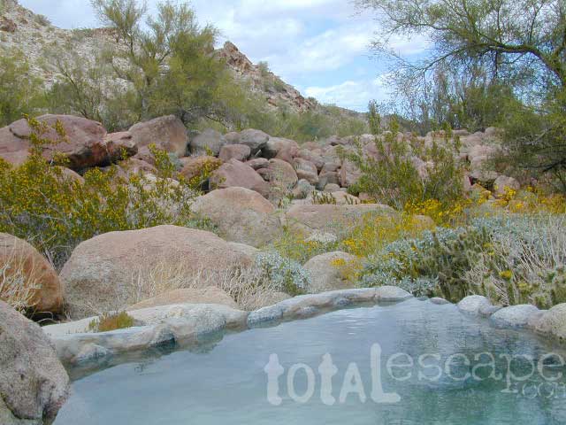
Guadalupe Canyon Hot Springs, Baja California

driftwood

Baja Sur NatGeo Map bajasur

Baja Road Map / Baja Sur Mexico Map

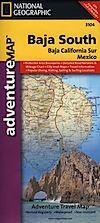
Baja Sur Map from National Geographic #3104. This map covers the southern portion of Baja California Mexico. Topographical features, towns, ranchos, main dirt roads, coves, beaches, fishing spots, surf spots, sailing; beautifully detailed. GPS compatible w/ full UTM grid. Waterproof, tear-resistant. ISBN# 9781566952446

avenza mapsget a digital version of this map
NatGeo Map 3104 – Baja California South
NatGeo Baja Maps

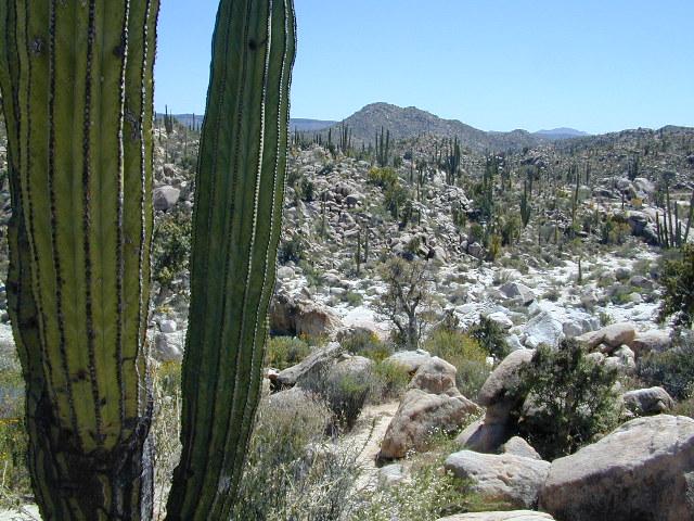
Cacti at Catavina

NatGeo Baja Maps

NatGeo Baja Maps

Todos Santos, Baja California Sur

see also – 

Anza Borrego Desert Map
Baja California Almanac
San Diego Backcountry Map

bajarigready

Sierra Forest Map

Sierra NF Recreation Map

Tom Harrison Maps

Sierra Forest Map

Sierra National Forest / Bass Lake / Shaver Lake / Huntington Lake / Florence / Edison Lake / Courtright Reservoir / Wishon Reservoir / Mammoth Pool Reservoir / Pine Flat Lake

Sierra Forest Map

Tom Harrison Maps, the newest title – the Sierra National Forest Map. Yosemite West Camping. High Sierra Backpacking. Sierra Summit (China Peak), McKinley Grove, San Joaquin River. Maps covers region from the Central Valley Reservoirs near Fresno (Millerton Reservoir, Eastman Lake, Hensley Lake) eastward to the granite reaches of Mammoth and Mono Divide. Hiking trail heads, mountain biking trails, fishing lakes, rafting rivers, kayaking creeks. outdoor recreation, campgrounds, dispersed camping. Tom Harrison brand map, topographic, waterproof map. Released and printed in 2012. Scale 1:158.400, 200 foot contour lines. ISBN# 9780981834450

fish camp canoe 4x4

Sierra Forest Map

High altitude Courtright Reservoir, inside Sierra National Forest – east of Shaver Lake, CA

Sierra Forest Map

Sierra Forest Map

Snowmobiling to Mono Hot Springs

Sierra Forest Map

see also –
Sierra National Forest Map USDA
Sierra Topo Map by IMUS
Dinkey Lakes Trail Maps
Shaver Lake Map NatGeo
Kaiser Wilderness Map
John Muir Trail Maps

Tamarack

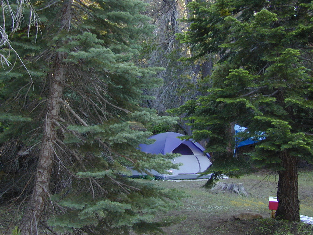
Camping on Tamarack Creek

nearby towns: