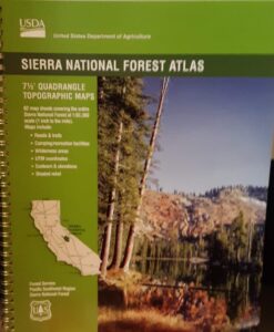
USDA Sierra National Forest
Topo Atlas
Sierra National Forest covers regions from the Lower Kings River, north to the edges of Yosemite National Park. Big rivers, recreational lakes, wilderness trailheads, Sequoia Groves, snowmobiling area and off road routes.
Published in 2017. ISBN# 9781628114270
Shaver Lake
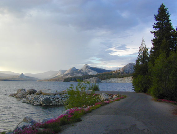
Huntington Lake
Ward Lake
Black Rock Reservoir
Courtright Reservoir
Coyote Lake 4×4
Wishon Reservoir
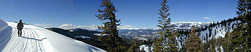
Kaiser Wilderness
Dinkey Creek
Dinkey Lakes Wilderness
Mammoth Pool Reservoir
McKinley Grove of Sequoia
Kings River
Red Lake 4×4
Sierra NF – Road #9
San Joaquin River
Mono Hot Springs
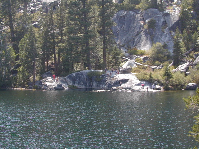
Swimming at Ward Lake 2003
Wildfire has recently ravaged about half of this National Forest, from Shaver Lake to Mammoth Pool Reservoir; Kaiser Wilderness, San Joaquin River, Huntington Lake, all the way out to Lake Edison. Many areas could be closed to logging and fire cleanup. Check with USFS for specifics.
Creek Fire 2020
see also –
Sierra National Forest Map
Kaiser Wilderness Map
Mono Divide Trail Map
Dinkey Lakes Trail Map