Mammoth Mountain California
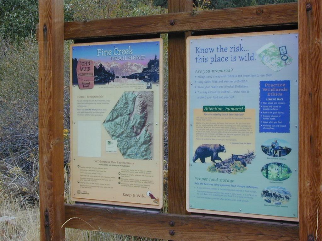
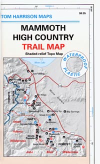
Mammoth High Country Map
Tom Harrison

Tom Harrison Maps: Mammoth Trail Map, Ansel Adams Wilderness, Eastern Sierra Nevada; Areas include: Hiking Minarets, June Lake, Lee Vining, Ritter Range, Convict Lake, Devils Postpile, Mono Craters, Mono Lake Volcanic, Thousand Island Lake, Mammoth Lakes, Agnew Meadows.
Recreation Map; Durable, waterproof plastic map; Folded. Map Scale: 63K; ISBN# 9781877689567
![]() download digital version of this map –
download digital version of this map –
Mammoth High Country Map
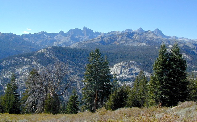
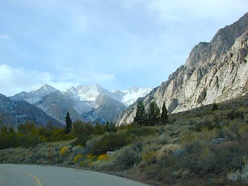
The Minarets @ Mammoth
Mammoth Mountain is a lava dome complex in Mono County, California. It lies in the southwestern corner of the Long Valley Caldera and consists of about 12 rhyodacite and dacite overlapping domes. These domes formed in a long series of eruptions from 110,000 to 57,000 years ago, building a volcano that reaches 11,059 feet in elevation. During this time, massive dacite eruptions occurred roughly every 5000 years. The volcano is still active with minor eruptions, the largest of which was a minor steam eruption 700 years ago.
Mammoth Mountain also lies on the south end of the Mono-Inyo chain of volcanic craters. The magma source for Mammoth Mountain is distinct from those of both the Long Valley Caldera and the Inyo Craters. Mammoth Mountain is composed primarily of dacite and rhyolite, part of which has been altered by hydrothermal activity from fumaroles (steam vents).
nearby destinations:
see also –
Ansel Adams Wilderness Map
Devils Postpile Trail Map
Mammoth Lakes Map NatGeo
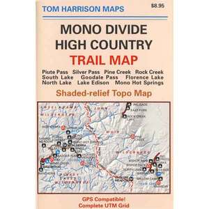
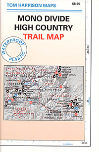
Mono Divide Highcountry Map
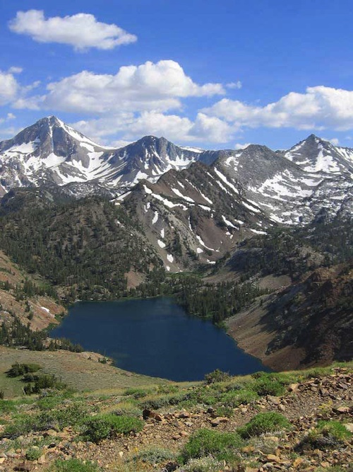
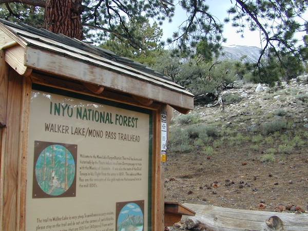
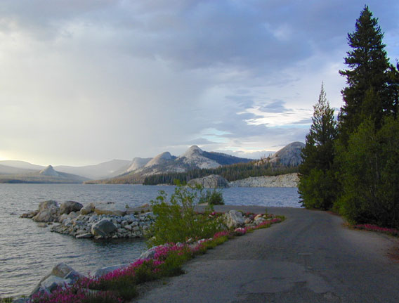
Lake Genevieve
PREVIOUS EDITION MAP
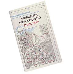
OLDER MAMMOTH MAP