California Central Coast:
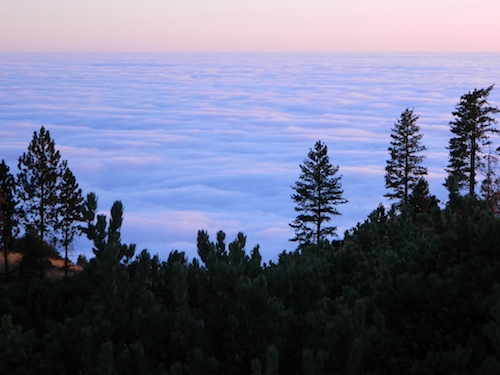
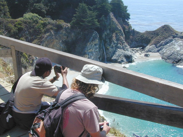
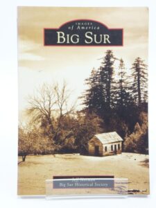
Big Sur
Find Maps on Big Sur, California:
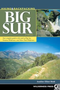
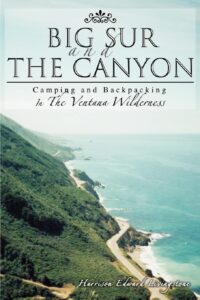
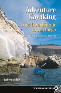
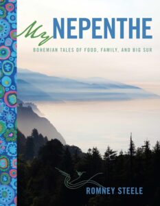
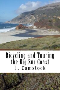
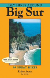
Big Sur Books
Books on the Big Sur Coast & Mountains
Find Maps on Big Sur, California:
Books on the Big Sur Coast & Mountains
This advertising choice is for recreation businesses only; live link placed within Total Escape.com > RECREATION
Businesses include: kayak rental shops, horseback riding, mountain outfitters, limousines, wineries, bike rentals, marinas or cruises, RV campgrounds, hot air balloons, rock climbing guides, fly fishing professionals, snow ski resorts, 4×4 tours, scuba dive shops, motorcycle rentals, sightseeing bus charters, firewood dealers and so on. If you do not see a similar type of company listed on our vast web site, then find out first if a link is possible.
The image for ad can be a logo or a photo. JPG 200×200. Make your business listing really stand out with the best deal on the web. Listing your business with us will only help your web traffic and overall exposure with our ancient web site (online since 1996).
ANNUAL LISTING:
Best deal in California – Ads for Dirt Cheap!
Get more exposure directed to your website with a link from Total Escape. Online over 2 decades, we do have the traffic to drive you wild.
We get a million ‘page views’ per month and that number doubles in the summertime. Outdoorsy travelers find what they need on our California site. About 22% of our traffic is return visitors.
Advertise your travel industry related business with Total Escape. This is for an annual listing & link for a business website, local to California.
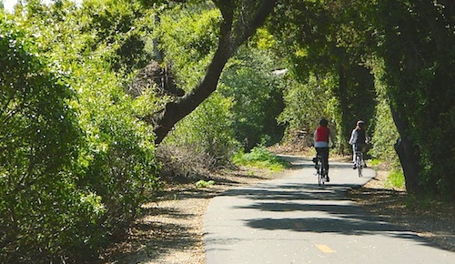
camping, hiking, mountain biking, off roading, fishing
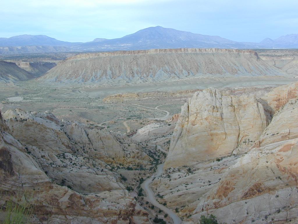
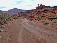
Historic Burr Trail, south of Capital Reef NP
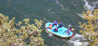
HIGH DESERT: Southern Utah is a magical place to explore. Red rock and National Parks, State Parks – too numerous to name. Outdoor recreation around every corner – from river rafting to rugged canyon hikes, wildlife watching to wheeling. Dispersed camping, very abundant. Dirt back roads, by the many miles. Hiking and biking, all over!
The east-west Interstate 70 splits the state, so most parks are located south of the freeway. Green River is a highway town, along I-70 and the mecca, Moab, is south of the interstate.

MOAB, UT (southeast Utah) – is a hot bed of recreation activities, tourism, hotels, shopping, plus the 2 National Parks.
TORREY, UT (south central Utah) – hip mountain village, next to Fish Lakes National Forest and Capital Reef National Park. Restaurants, motels, RV Campground with showers, and a grocery stop.
SPRINGDALE, UT (southwest Utah) – the small river town that has merged with neighboring Zion National Park. Tourists everywhere.
Seek the small back roads to get you up and around the outskirts of Zion – very scenic drives. Ghost towns, pinyon & juniper forests, hidden canyons, watrfalls, kolobs and buttes. North of Zion NP, Navajo Lake and Cedar Breaks National Park @ 8000′ elevation – can have snow more than half the year, so plan according.
UTAH TIP = Beware: Thunderstorms and heavy rains are part of the package here in this desert state. Extreme flash floods possible, know the weather forecast and the warnings. Stay out of slot canyons during rainy season. Watch out for wet, muddy, red dirt roads. You’ll get stuck, even in 4WD.
Small farming towns are scattered throughout the National Park areas, some more geared for travelers than others. Many National Forests and BLM areas to camp (for free). Usually just a few miles outside the National Park boundaries. The further you get off pavement, the more seclusion you can find. Find the nearest ranger station and ask some questions – if needbe.
utah = remote
National Geographic makes these colorful, durable, waterproof maps for all the Utah Parks.
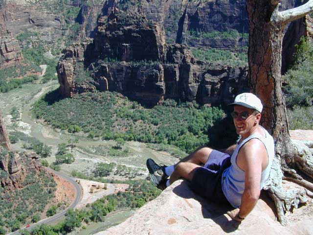
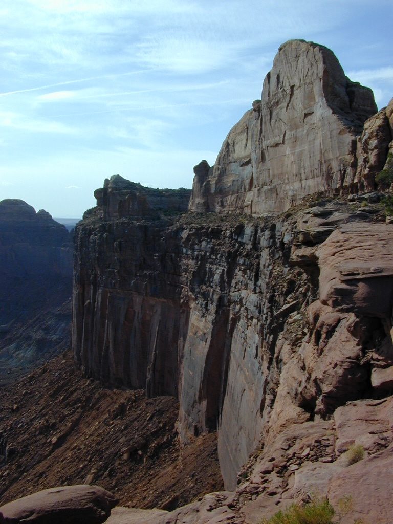
Atop Angel’s Landing, Zion NP
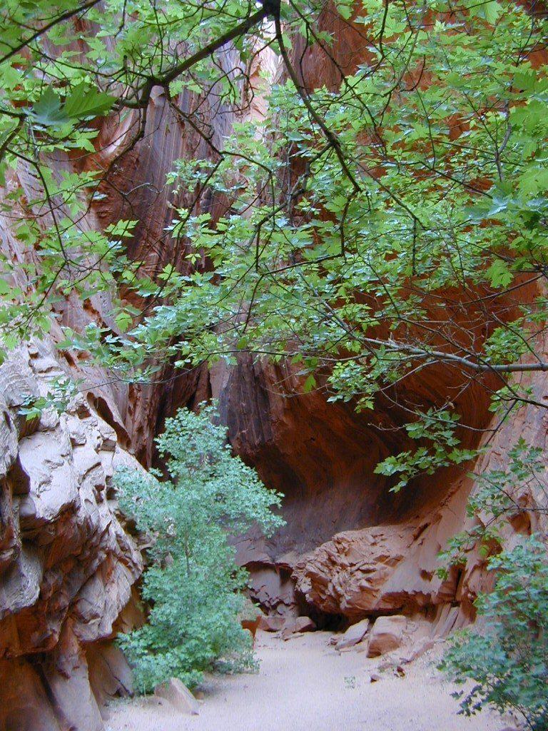
cool canyon hikes
RED DIRT TRAILS
![]()
![]()

Schaffer Trail, Canyonlands NP
This scenic National Park is so large there are several maps covering this mini-Grand-Canyon-looking desert destination. White Rim Trail is a popular mountain bike route and primitive camping area, but it is extremely rugged and requires a 4 wheel drive vehicle.
The park preserves a colorful landscape eroded into numerous canyons, mesas, and buttes by the Colorado River, the Green River, and their respective tributaries. This National Park is divided into four districts: the Island in the Sky, the Needles, the Maze, and the combined rivers—the Green and Colorado—which carved two large canyons into the Colorado Plateau. While these areas share a primitive desert atmosphere, each retains its own character.
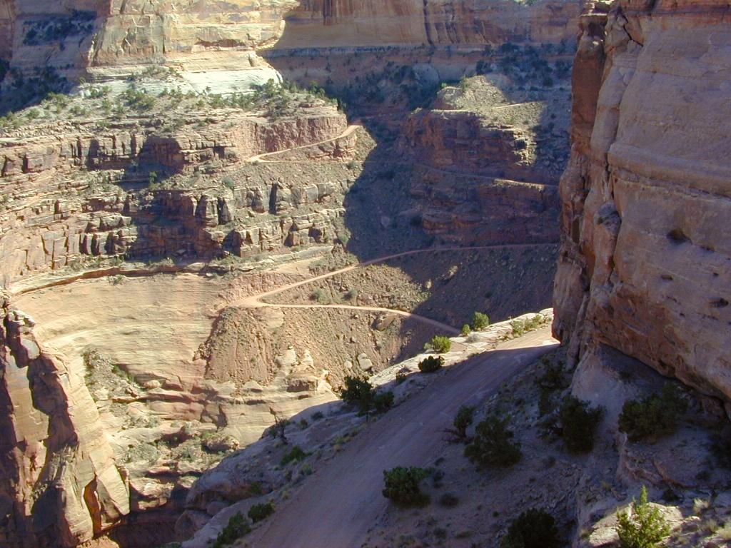
Schaffer Trail, a most scenic drive that leads back to Moab.
see also – 


