OUTTA PRINT
[NO LONGER AVAILABLE]
Gold Country Trails
El Dorado National Forest
Rock Creek OHV Map
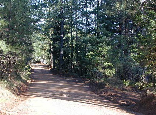
Older Rock Creek off-road map had a new name and was split into 2 maps. Gold Country Foothills OHV. This forested area is just west of the 4×4 Rubicon Trail and very popular among the off roaders and equestrian riders.
Eldorado Travel Opportunity Guide (North)
Georgetown @ Rubicon
Eldorado Travel Opportunity Guide (South)
Amador & Placerville

OLD VERSION
Rock Creek OHV inside El Dorado National Forest, Georgetown Ranger District. Multi-use recreation area near the central Sierra Nevada Gold Country. Darlington Ridge Mountains, Quintette, Bear Creek Road, Bald Mountain Canyon, Mace Mill, Dutch Canyon, One-Eye Creek Trail, Wentworth Springs, Balderson Corral, Dru Barner Campground. This RockCreek is on the western side of the Sierra Nevada range, not to be confused with the Eastern Sierra Rock Creek, N of Bishop, CA
USDA, waterproof, topographic map with hiking, equestrian and off road trails. Dirt bikes, quads, 4×4 rigs. OHV routes, creeks, rivers, trailheads, back roads and one campground. Georgetown hikes. hiking. Waterproof plastic. Scale 1:29,816 / GPS shown in degree minute format.
nearby towns –
You may need to really search to find a 4WD map for this area.
Below is a good overview map, a topo map, a link to local books, for the Gold Country region of California