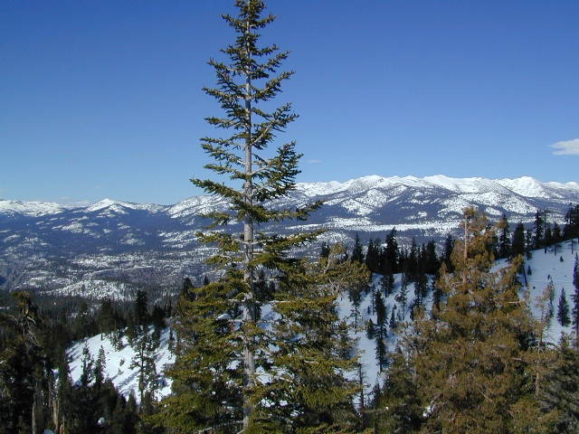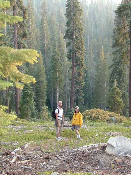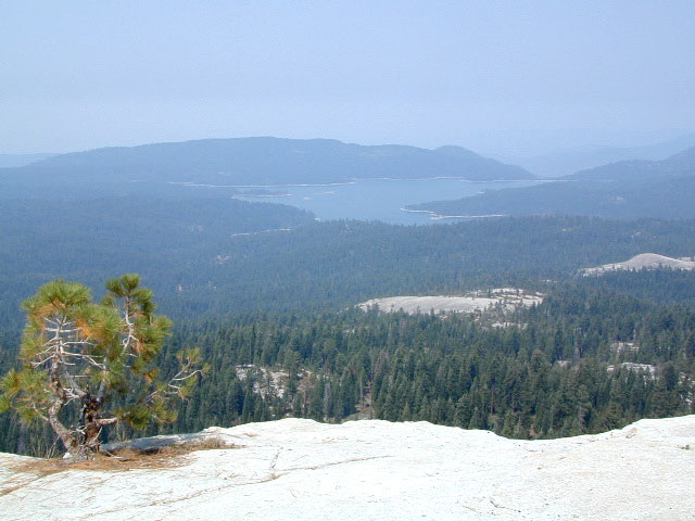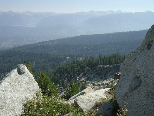
Wonderful high elevation views from the peaks.
Kaiser Pass Hiking Map
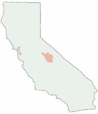
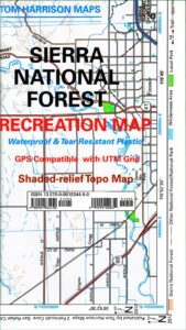
Kaiser Map / Kaiser Pass / Sierra Kaiser Wilderness


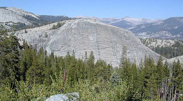
Tom Harrison Maps makes the newest version of this Central Sierrra wilderness map. Kaiser Wilderness has glacier boulders, huge granite – Kaiser Peak, 4×4 routes and big cell phone towers, plus a lotta great views all the way around. Elevations range from 7000′ to 10,320′ above sea level.
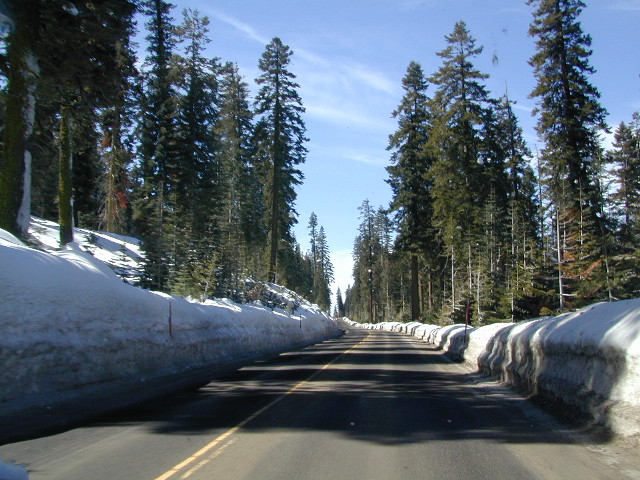
Kaiser Pass Road is a narrow paved road, located in between Huntington Lake and Edison Lake; Only open in the summer months and closed for winter. No long trailers or RVs allowed on this route. Minimal pulls outs, maximum scenery.
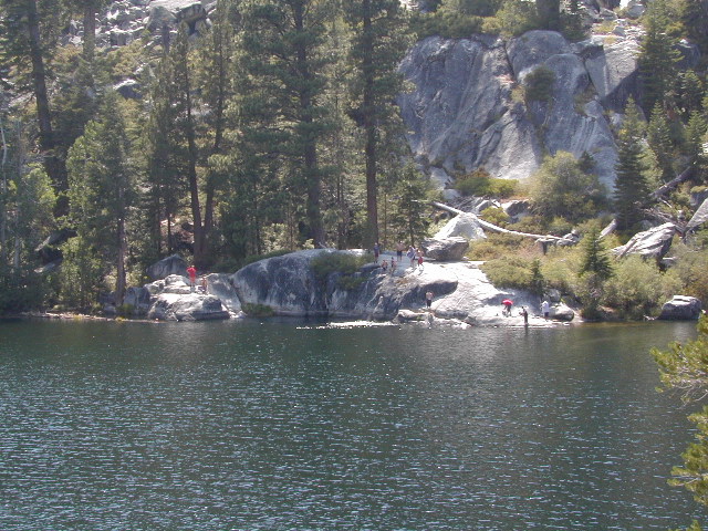
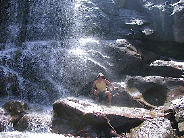
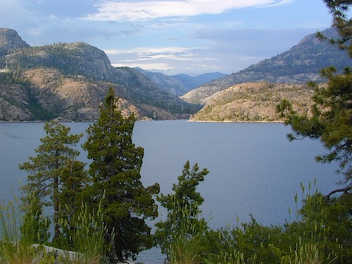
Headwaters to the San Joaquin River start way back here in the mid-Sierra mountains. Decent fishing, awesome camping, rock climbing, hot springs and plenty of hidden spaces. Hiking and mountain biking in this region is abundant, as well as in winter, with cross-country skiing and snowmo trails.
 download digital version of this map
Kaiser Wilderness Topo Map

WILDFIRE NOTICE: This Wilderness area may be currently closed due to the aftermath of a massive wildfire. Creek Fire 2020
 Huntington Lake marks the region for KAISER, a steep paved road, which climbs down the mountain on the west side of the lake. Extreme heights, granite boulders and chaparral. 25 mph max kinda road, for dozens of miles. Not a quick or easy day trip kinda place. Plan for weeks, or at least several days, out exploring in this country.
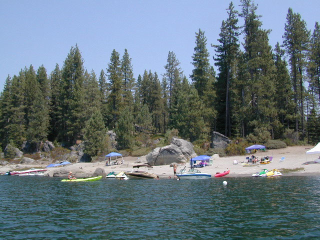
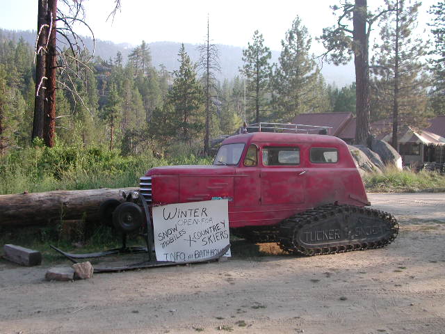
 Snow is deep! Snowmobiling is very popular on the Kaiser route and in this deep snow region. China Peak (aka Sierra Summit) is the local ski resort. Cabins, condos and campgrounds are all available at Huntington Lake.
The Kaiser Road is one of the highest paved mountain roads in all California. Great views to the Eastern Sierra and all the way around. Numerous primitive camps and trailheads, adjacent to the Wilderness Area. Kaiser Pass has the DUSY ERSHIM 4×4 Trail, second only to the RUBICON TRAIL in popularity. Some dirt roads may require high clearance, or perhaps 4-wheel drive. Signage gets knocked down, mud can turn to powder fine dust in summer, lots of erosion, landslides, rock slides. Have a good topographical map and know your vehicles limitations.
nearby destinations:
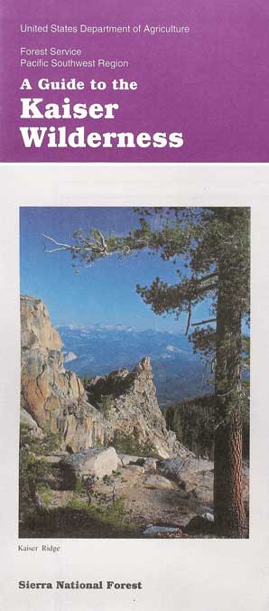
Kaiser Wilderness Map USDA
currently unavailable on Amazon. may be found at local ranger station.
HUNTINGTON LAKE, CA Kaiser Wilderness Trail Map, part of Sierra National Forest has destinations like Huntington Lake, Lakeshore, Kaiser Peak ( 10,320′ elevation), Kaiser Pass. Kaiser Wilderness, XC skiing, Snowmobile Trails. Perfect for a day hike reference or extended backpacking adventures.
USDA NFS Map Scale = 2″ to mile; Printed on paper in 1991. Might only be found at USFS Ranger Station Pineridge @ Tollhouse, on Highway 168

Kaiser Pass, Sierra Map, Wilderness Trails, Topo, Huntington, Mono Hot Springs
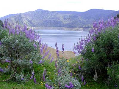
Mono Hot Springs, open all year long.
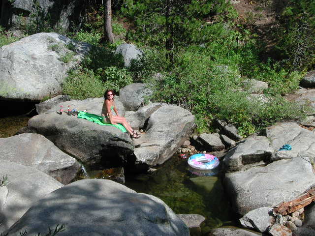
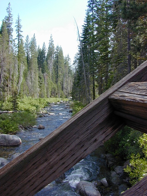
Camping on a Creek
wikipedia.org/wiki/Kaiser_Wilderness
National Geographic Maps makes a much larger, full color map that covers the whole region, from Shaver Lake @ Highway 168, way out to Dinkey Lakes Wilderness. The map scale is much wider, so it is not considered a trail map, like the Tom Harrison Topo and the USDA maps listed above.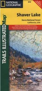
see also – 
Sierra Forest Map
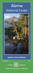
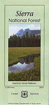
Sierra National Forest Map
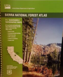
Sierra National Forest Atlas
Dinkey Lakes Maps