Capital Reef Map

Capital Reef Map

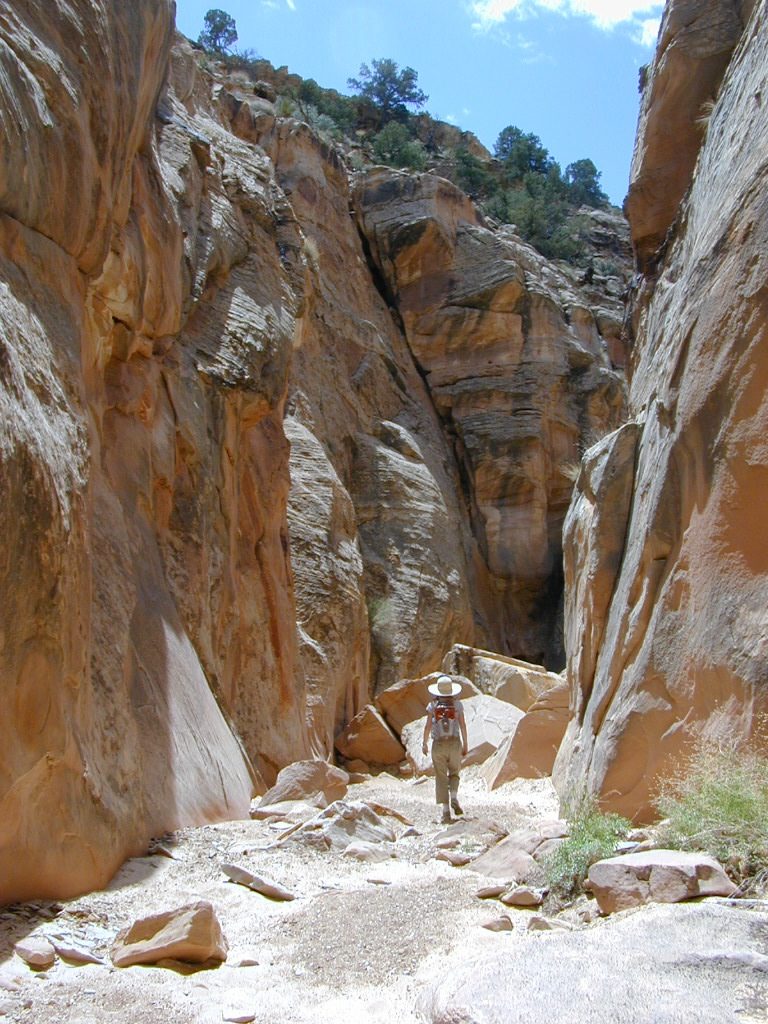
hiking slot canyons

Capital Reef National Park Map

NPSCapt Reef NP

Utah’s National Parks are unbelievably beautiful. Enjoying one National Park at a time would require months. Hiking, off-roading and camping are always popular during the summer months, yet most of the parks are open all year long.

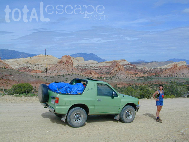
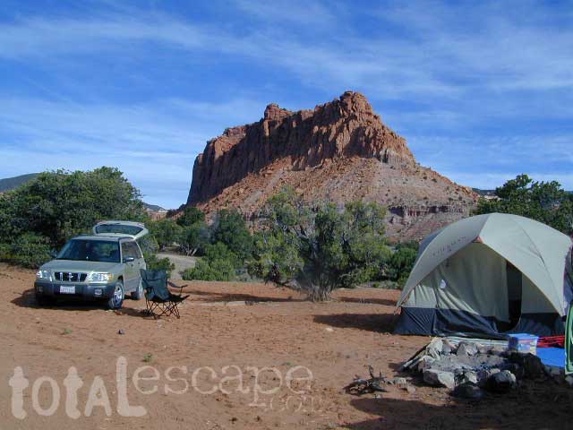
NPSCapital Reef is a fertile high desert canyon with plenty of great slot canyons and archways to explore. The main campground on the highway is located next to a historic fruit orchard.

Capitol Reef National Park Map

Capitol Reef National Park Map

Capital Reef MapCathedral Valley is a cool off-road destination for secluded camping, way off the paved highway. Self sufficient campers only!

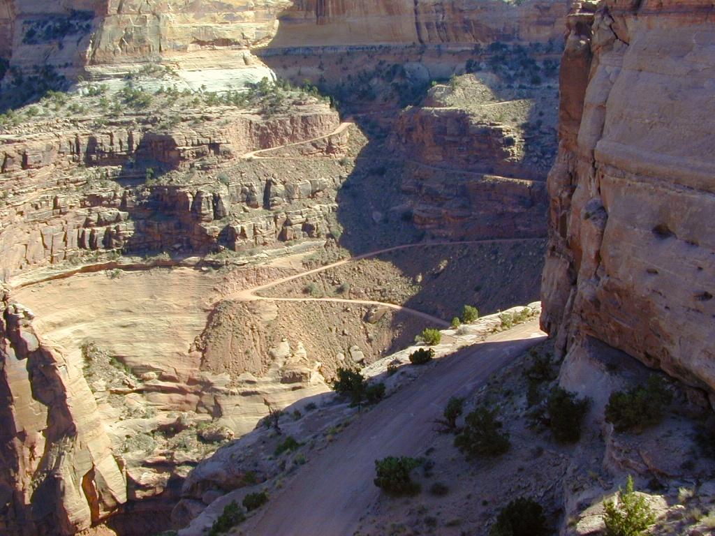
The Burr Trail is a historic graded road, with steep switchbacks and red rock scenery. This main backcountry route connects the National Park to remote BLM land, south of the park.
Capital Reef Map

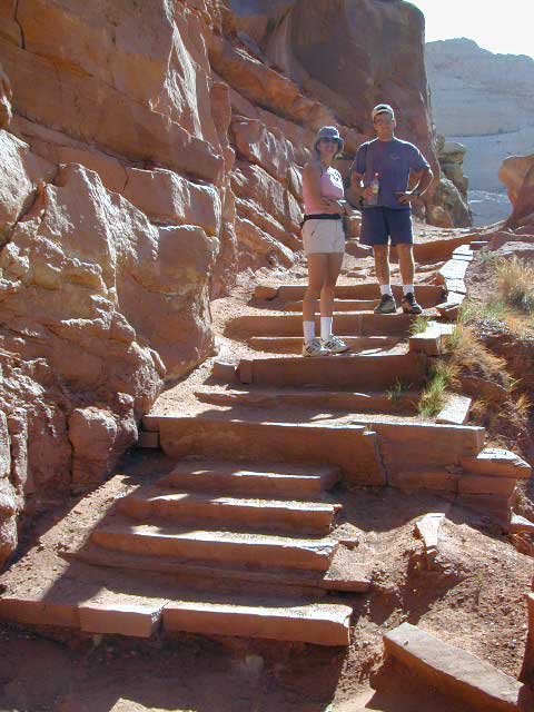
Hiking in Capital Reef National Park

Capital Reef Map

May is generally the best month for camping & hiking in southern Utah. Summer can bring triple digit heat and late season thunderstorms. Flash floods are common and life threatening in this mountainous high desert region. Winter snow is typical in this region.

NFSFishlake National Forest is neighboring the National Park on the west side of Capital Reef NP. Free camping is available on dirt roads in the National Forest; Capital Reef Mapcampfire permits are required for back country camping. RV park, motels, market and restaurants available in Torrey.

nearest town:
Torrey, UT

Capital Reef Map

Capital Reef Map

Historic Burr Trail is a very long, yet drivable, graded dirt road connecting many public lands in south central Utah. High clearance is recommended, 4WD may be required during wet weather or snow.
 

Capital Reef Map

Free Camping @ Fishlake NF – Torrey, Utah

see also –Utah Maps

Canyonlands Map
Utah Maps
Utah Books

Capital Reef Map

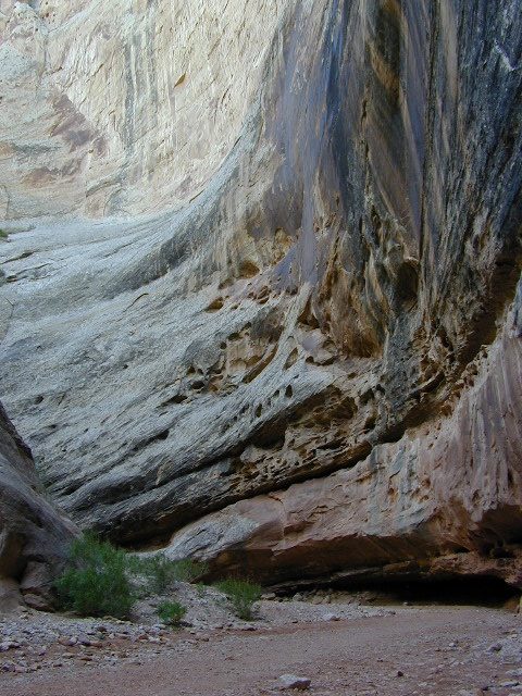
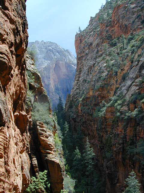
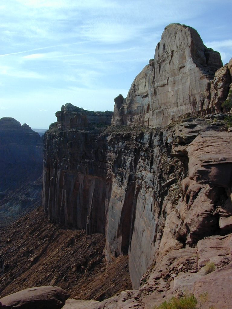
Giant Walls of Capital Reef
Zion National Park Map

Zion National Park Map

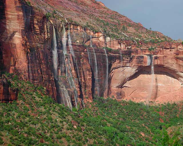
Waterfalls appear after a big sudden thunderstorm.

National Geographic Trails Illustrated Map #214
Zion Canyon, Virgin River, Zion NP

NatGeo Zion National Park Map

NatGeo Zion National Park Map

Zion National Park, UT – Zion Narrows, Kolob Canyons, La Verkin Creek Trail, Hop Valley Trail, Wildcat Canyon, West Rim Trail, Floor of the Valley Road, East Rim Trail, Telephone Canyon, and the Virgin River.

Waterproof Map Paper. Printed in 2022, ISBN 9781566952972


hikers map

Zion National Park Map

Zion Canyon is a mini Yosemite Valley, in red rock, in the high desert. A “Terra Cotta” wonderland.

Zion National Park is one of the most visited of all the Utah National Parks Loop, due primarily to its proximity to Las Vegas, NV and Interstate 15.

Zion National Park Map

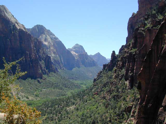
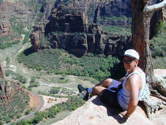
Zion Canyon, from hiking trail to Angel’s Landing

ZION NP OVERVIEW: To prevent traffic jams and preserve the wildness, the NPS offers a common parking lot (on Hwy 9 @ Springdale, UT) with tram/shuttle service to and from the valley. Plan to be away from your car most of the day when visiting the main canyon. Unless of course, you have reservations at the main lodge. Numerous hiking trails, the Virgin River, Zion Lodge and a restaurants.

Utah Highway 9 leads east through tunnels and more amazing rock scenery, with abundant pullouts for RVs and visitors. Nice uncrowded hikes can be found on the east side of the National Park at many of these random parking lots along the highway.

A small portion of Zion National Park parallels Interstate 15. This Kolob Area is far less crowded than the rest of the park, but no camping is allowed.

Abundant boondocking camps can be found all over the Zion area, even along the freeway interstate 15.

Awesome camps that we discovered in the late 1990’s are now well known and crowded, all year long.

Free river beach campsites W of Rockville, high country of the Smithsonian Butte trail, above Grafton ghost town. These areas are NO LONGER a secret, and are very crowded. BLM camping at Leeds exit is on a first come basis and limited, so you better arrive before dark for the best spots.

EXPERTS TIP – Buy a real map and learn to find campsites, that no one else knows about. Mark a GPS waypoints for future reference. Have the whole place to yourself for once!

Lonely Planet Zion & Bryce NP

Lonely Planet Zion & Bryce NP

The Complete Guide

The Complete Guide

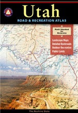
Benchmark Atlas: Utah

Utah Atlas Benchmark

Utah Atlas Benchmark

Zion National Park Map

Hiking Zion National Park – Refrigerator Canyon. Refreshingly cool breezes pass through this canyon, so even hot summer days are somewhat okay. Triple digit highs, mean this might be a great place to escape the mid-day heat – albeit 90 instead.

driftwood

more maps on Utah

Day Hikes of Zion National Park

Day Hikes of Zion National Park

Panoramic Hiking Map

Panoramic Hiking Map

Utah Recreation Map

Utah Recreation Map

Zion National Park Map

Atop Angel’s Landing, Zion National Park, Utah

see also –

Bryce Canyon National Park Map
Capital Reef National Park Map 
Utah Maps
Utah Books

Utah Travel Guide: The Beehive State Bucket List

Utah Travel Guide: The Beehive State Bucket List

Arches National Park Map

Moab Utah Maps: Arches National Park

Arches National Park Map

Arches National Park Map

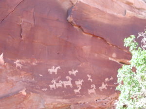
Arches National Park Map – a full color, two sided topographic map from Trails Illustrated, National Geographic. Natural arches of all shapes and sizes, in famous red rock country, Indian Rock Art Petroglyphs. Hiking trails, picnic areas and campgrounds are featured on this map, as well as all paved roads and dirt roads.
Summer is not the time to visit this terrain, due to excess heat during June, July and August.

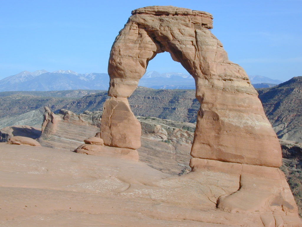
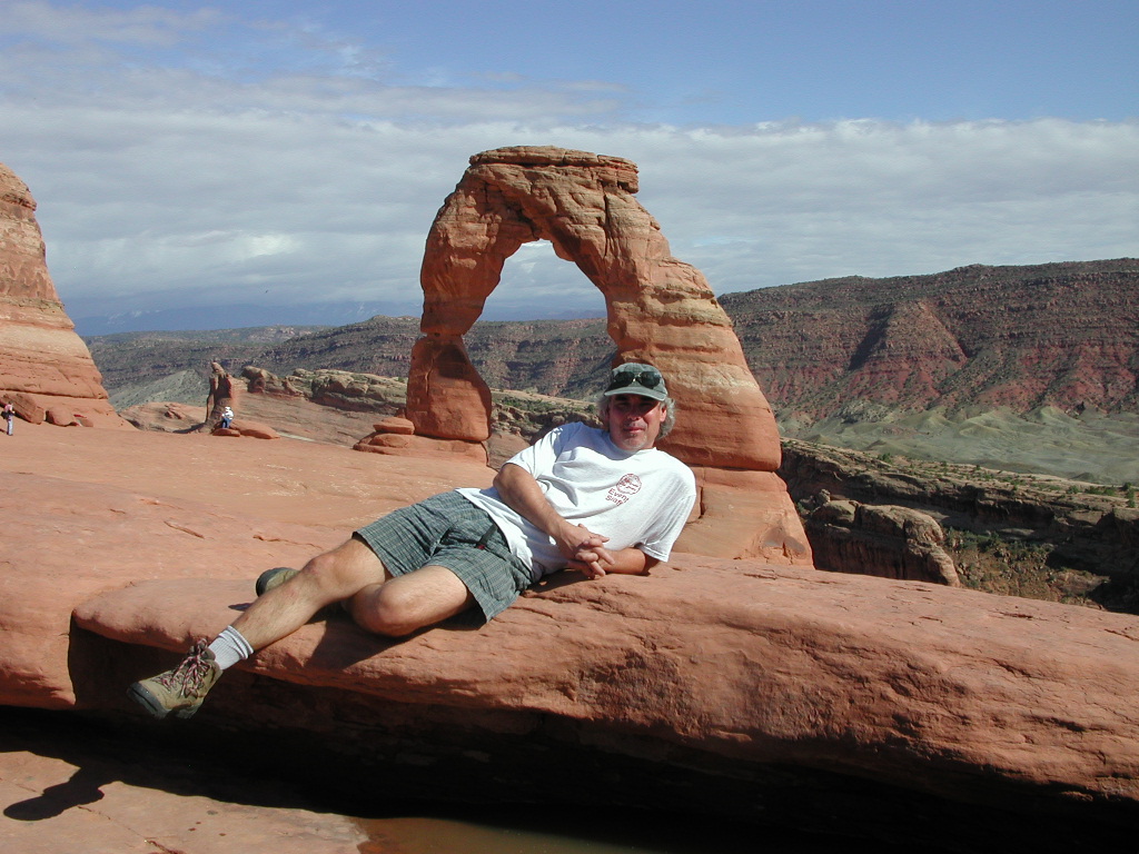
Delicate Arch

Delicate Arch, the most popular hiking trail.

Although the National Park’s terrain may appear rugged and durable, it is extremely fragile. More than one million visitors each year threaten the fragile high-desert ecosystem. The problem lies within the soil’s crust, which is composed of cyanobacteria, algae, fungi, and lichens that grow in the dusty parts of the park. Factors that make Arches National Park sensitive to visitor damage include being a semiarid region, the scarce, unpredictable rainfall, lack of deep freezing, and lack of plant litter, which results in soils that have both a low resistance to, and slow recovery from, compressional forces such as foot traffic.

Arches National Park Map

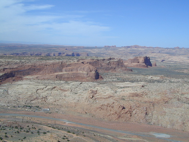
Above Arches National Park

Climb Balanced Rock or any named or unnamed arch in Arches National Park with an opening larger than 3 feet is banned by park regulations. Climbing on other features in the park is allowed, but regulated; in addition, slack-lining and base jumping are banned park wide.

Approved recreational activities include auto touring, hiking, bicycling, camping at the Devils Garden campground, backpacking, canyoneering, and rock climbing, with permits required for the last three activities. Astronomy is also popular in the park due to its dark skies, despite the increasing light pollution from towns such as Moab

Arches National Park Map

Arches National Park Map

Moab Map Pack

Moab Map Pack

Utah Grand Circle National Parks

Utah Grand Circle National Parks

Arches National Park Map

see also –

Canyonlands National Park Map
Utah Maps

Canyonlands Map

Canyonlands National Park: Utah Maps

Canyonlands National Park Map

Canyonlands National Park Map

This scenic National Park is so large there are several maps covering this mini-Grand-Canyon-looking desert destination. White Rim Trail is a popular mountain bike route and primitive camping area, but it is extremely rugged and requires a 4 wheel drive vehicle.

Canyonlands Map

Canyonlands Map
Canyonlands Maps by NatGeo

The park preserves a colorful landscape eroded into numerous canyons, mesas, and buttes by the Colorado River, the Green River, and their respective tributaries. This National Park is divided into four districts: the Island in the Sky, the Needles, the Maze, and the combined rivers—the Green and Colorado—which carved two large canyons into the Colorado Plateau. While these areas share a primitive desert atmosphere, each retains its own character.

Island in the Sky Map Canyonlands

Island in the Sky Map Canyonlands

Needles District Canyonlands National Park Map

Canyonlands Needles Map

Maze District: Canyonlands

Maze District: Canyonlands

Canyonlands Map

Schaffer Trail, a most scenic drive that leads back to Moab.

see also – camp maps

Arches National Park Map
Utah Maps
Moab Utah