Sierra NF Recreation Map
Tom Harrison Maps

Sierra National Forest / Bass Lake / Shaver Lake / Huntington Lake / Florence / Edison Lake / Courtright Reservoir / Wishon Reservoir / Mammoth Pool Reservoir / Pine Flat Lake
Sierra Forest Map
Tom Harrison Maps, the newest title – the Sierra National Forest Map. Yosemite West Camping. High Sierra Backpacking. Sierra Summit (China Peak), McKinley Grove, San Joaquin River. Maps covers region from the Central Valley Reservoirs near Fresno (Millerton Reservoir, Eastman Lake, Hensley Lake) eastward to the granite reaches of Mammoth and Mono Divide. Hiking trail heads, mountain biking trails, fishing lakes, rafting rivers, kayaking creeks. outdoor recreation, campgrounds, dispersed camping. Tom Harrison brand map, topographic, waterproof map. Released and printed in 2012. Scale 1:158.400, 200 foot contour lines. ISBN# 9780981834450
This Sierra National Forest was recently burnt in 2021 Creek Fire


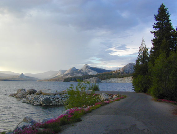
High altitude Courtright Reservoir, inside Sierra National Forest – east of Shaver Lake, CA

- Sierra National Forest
- Courtright Reservoir
- Wishon Reservoir
- Mammoth Pool Reservoir
- Pine Flat Lake
- Blackrock Reservoir
- Kings River
- Huntington Lake
- Shaver Lake
- Ward Lake
- Rancheria Falls
- Red Lake 4×4
- Coyote Lake
- Edison Lake
- Florence Lake
- Kaiser Pass
- San Joaquin River
- McKinley Sequoia Grove
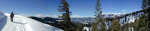
Snowmobiling to Mono Hot Springs

see also –
Sierra National Forest Map USDA
Sierra Topo Map by IMUS
Dinkey Lakes Trail Maps
Shaver Lake Map NatGeo
Kaiser Wilderness Map
John Muir Trail Maps
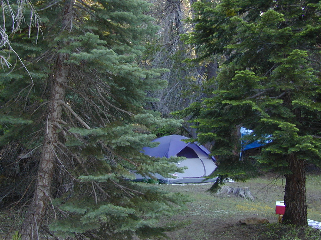
Camping on Tamarack Creek
nearby towns:
