Dinkey Lakes Wilderness Map

Dinkey Lakes Map

Dinkey Wilderness

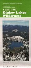
Dinkey Wilderness Map USDA

currently unavailable on Amazon. may be available at local ranger stations

Dinkey Lakes Wilderness Map / Dinkey Lakes Trails / Dinkey Creek Camping

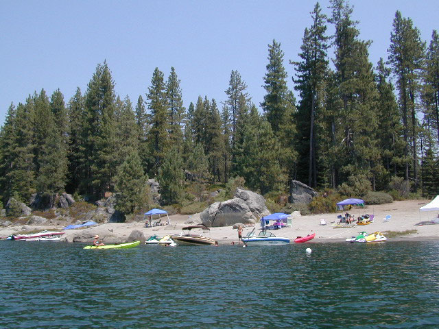
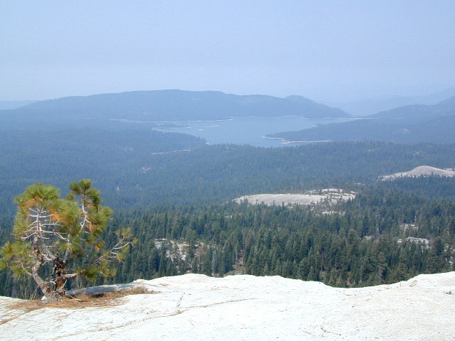
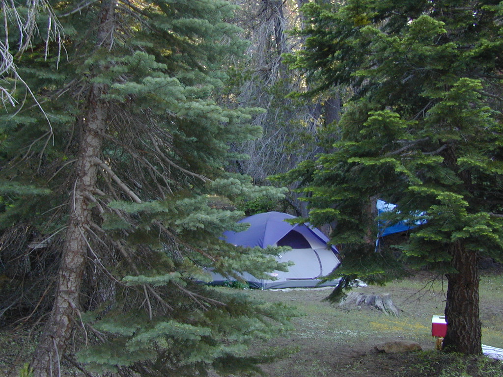
Dinkey Creek and the hike-in only, wilderness lakes are part of a bigger Sierra National Forest

hikerPerfect for a day hike reference or extended backpacking adventures. Scale = 2″ to mile; Usually only found at Ranger Stations – Hard to find maps. Printed on paper; Last updated in 1991.

see also –

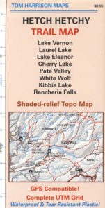
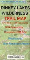
Dinkey Lakes Wilderness Trail Map by Tom Harrison

dinkey map

CREEK FIRE 2020: Much of the Sierra National Forest was badly burned in a recent wildfire, but this Dinkey Creek area was spared. The huge fire moved the other direction – from Shaver Lake north and then eastward.

That means this Dinkey Creek Area may become more popular, along with high elevation lakes – Courtright and Wishon Reservoirs – now that this the only unburnt region around.

At least the nearby Sequoia trees in the McKinley Grove didn’t go up in flames.

NOTE: Much of the Sierra National Forest may be closed to the public (for years) due to forest hazards, loggers working, and general fire cleanup. Contact the local USFS Ranger station at Tollhouse to find out what areas are indeed open.

Dinkey Lake Wilderness

Minimal Snow, Maximum Mud

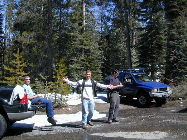
4×4 Fun – Minimal Snow, Maximum Mud


Shaver Lake Map

Shaver Lake
Sierra NF NatGeo Map #810

Shaver Lake is located in the Central Sierra, on the west side of the range, way up above Fresno, CA. Numerous alpine lakes and wilderness trailheads can be accessed via Highway 168 and the side route of Dinkey Creek Road. They even have a Sequoia Grove up here!

Shaver Lake Map, Huntington Lake, Sierra National Forest maps from National Geographic. 4×4 routes around the central Sierra Nevada. Dinkey Lakes Wilderness, Kaiser Wilderness, Rancheria Falls, Black Point, Lewis Creek Tamarack Creek, Red Mountain, Red Lake, Sierra Vista Scenic Byway, Sierra Heritage Scenic Byway. Hiking, mountain biking, horse back & OHV trails. Lake trails, wilderness trail, loop trail, lake campgrounds. Two sides, waterproof & tear resistant. National Geographic Map #810; Scale 1:63,360 / 1 inch = 1 mile. ISBN# 9781566952422

Shaver Lake Map

Shaver lake map

Shaver Beaches

Shaver Lake Map

see also –
Dinkey Lakes Maps
Kaiser Wilderness Map
Mono Divide Trail Map
Sierra National Forest Maps
Sierra Forest Topo Atlas

Shaver Lake Map

Bald Mountain Views

Wildfire has recently ravaged about half of this National Forest, from Shaver Lake to Mammoth Pool Reservoir; Kaiser Wilderness, San Joaquin River, Huntington Lake, all the way out to Lake Edison. Many areas could be closed to logging and fire cleanup. Check with USFS for specifics.
Creek Fire 2020

nearby locations –4x4 maps

Sierra Forest Map

Sierra NF Recreation Map

Tom Harrison Maps

Sierra Forest Map

Sierra National Forest / Bass Lake / Shaver Lake / Huntington Lake / Florence / Edison Lake / Courtright Reservoir / Wishon Reservoir / Mammoth Pool Reservoir / Pine Flat Lake

Sierra Forest Map

Tom Harrison Maps, the newest title – the Sierra National Forest Map. Yosemite West Camping. High Sierra Backpacking. Sierra Summit (China Peak), McKinley Grove, San Joaquin River. Maps covers region from the Central Valley Reservoirs near Fresno (Millerton Reservoir, Eastman Lake, Hensley Lake) eastward to the granite reaches of Mammoth and Mono Divide. Hiking trail heads, mountain biking trails, fishing lakes, rafting rivers, kayaking creeks. outdoor recreation, campgrounds, dispersed camping. Tom Harrison brand map, topographic, waterproof map. Released and printed in 2012. Scale 1:158.400, 200 foot contour lines. ISBN# 9780981834450

fish camp canoe 4x4

Sierra Forest Map

High altitude Courtright Reservoir, inside Sierra National Forest – east of Shaver Lake, CA

Sierra Forest Map

Sierra Forest Map

Snowmobiling to Mono Hot Springs

Sierra Forest Map

see also –
Sierra National Forest Map USDA
Sierra Topo Map by IMUS
Dinkey Lakes Trail Maps
Shaver Lake Map NatGeo
Kaiser Wilderness Map
John Muir Trail Maps

Tamarack

Camping on Tamarack Creek

nearby towns:

Hetch Hetchy Maps

NatGeo Map #307
Yosemite NW – Hetch Hetchy Reservoir

Hetch Hetchy MapsYosemite Northwest Map

NatGeo Trails Illustrated Yosemite NW Northwest, Hetch Hetchy Reservoir, Hetchy Map #307.

Yosemite Highway 120, California Sierra Nevada Hikes, Campgrounds, Backpacking trailheads, Yosemite PCT, Pacific Crest Trail, Yosemite Wilderness High Country, Grand Canyon of the Tuolumne River, Lake Hiking Trails, granite peaks and gorges, alpine terrain. 1:40,000 scale; GPS Compatible, Full UTM Grid. 2 sided. Waterproof map. ISBN# 9781566954129

Stanislaus National Forest with Cherry Lake, Cherry Creek, Mary Lake, Tower Lake, Upper Piute Meadows, Wilma Lake, Lake Eleanor, Tilden Lake, White Wolf, Pate Valley, Emigrant Wilderness, Emigrant Lake, Huckleberry Lake, Huckleberry Trail, Stubblefield Canyon, Kerrick Canyon, Tilden Canyon, Jack Main Canyon, Andrews Peak, Lake Vernon, Frog Creek, Buck Lakes, Long Lake, Jewelry Lake, Louse Canyon, Bell Meadow, Lord Meadow, Kibbie Lake, Kibbie Ridge, Spotted Fawn Lake, Boundary Lake, Dimond O Campground, Preston Falls, Mather, Birch Lake, Bald Mountain, Long Gulch Creek, Aspen Valley, Harden Lake, Yosemite Creek Campground, McSwain Meadows

Hetch Hetchy Hiking MapsTRAILS: Trail #19E58, Trail #19E59, Trail #19E66, Trail #19E17, Trail #19E28, Trail #19E76, Trail #20E11, Trail #20E04, Trail #2000, Trail #056, Trail #21E50, Trail #21E52, Trail #21E08, Trail #21E07, Trail #21E26, Trail #19E50, Trail #20E16, Emigrant Trail #20E98

ROADS: Tioga Highway 120, Evergreen Road, National Forest Road #1S74, Road #1S16Y, Road #1S25, Road #1S89, Road #1S19, Road #1S32, Road #1N04

Hetch Hetchy Maps

Hetch Hetchy Trail Map
by Tom Harrison Topo Maps

Hetch Hetchy Maps

OLDER EDITION

Tom Harrison Yosemite Hetch Hetchy Map, Backpacking Yosemite Backcountry, Topo Maps of Yosemite National Park Hetch Hetchy Highcountry, Camping Yosemite Park Hiking Trails; Areas covered: Cherry Lake, Lake Vernon, Laurel Lake, Lake Eleanor Map, Pate Valley, White Wolf Lodge Yosemite, Kibbie Lake, Rancheria Falls Hiking Map. Durable, waterproof plastic map; Folded. Map Scale: 63K; ISBN# 9781877689932

Yosemite Hetch Hetchy Map, Yosemite Lake, Reservoir, Backpacking Yosemite Backcountry, Topo Maps of Yosemite National Park Hetch Hetchy Highcountry, Camping Yosemite Park Hiking Trails.

Tom Harrison Trail Map
for Hetch Hetchy Lake


river map

camp map

avenza mapsdownload digital version of this map
Hetch Hetchy Reservoir Map

Hetch Hetchy Maps

Cool Small Towns near Yosemite National Park