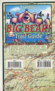
Big Bear Trail Guide
by Franko Maps

A colorful and detailed map of Big Bear Lake in California and the surrounding area. The map shows lake water depth and contours, streets, roads, trails, shaded relief, marinas, fuel docks, public launch ramps, beaches and camp sites. Fish found in the lake are illustrated and described. Side 2 has extensive info on regulations, safety, permits, waterway markers, recreational facilities, campgrounds and picnic areas.
Printed on durable, waterproof material. 12″ x 18″, folded 4.5″ x 6″ ISBN# 9781601901354
- backpack

- camp
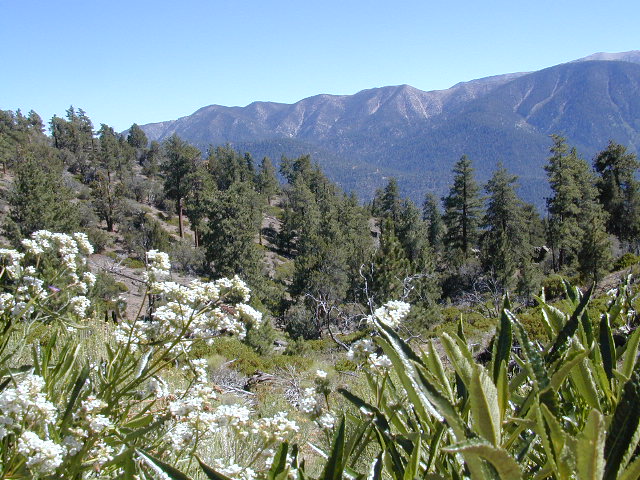
- climb
- hike
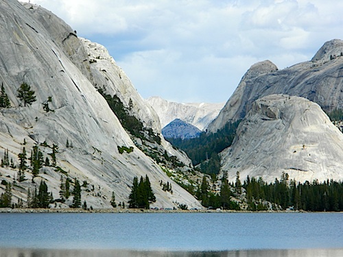
- lake recreation
- mountain bike
OLD VERSION
see also – 
San Bernardino National Forest Map
San Bernardino Forest Atlas
San Bernardino Mountains
San Gorgonio Wilderness Trails Maps
Franko’s Fish Card for Big Bear Lake

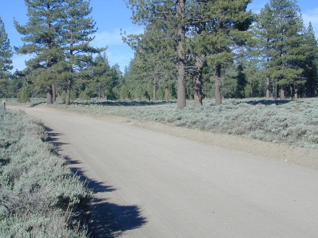
Holcomb Valley, Big Bear, California
John Bull 4×4 Trailhead