Lake Tahoe Basin Map

Two different recreation maps for the Lake Tahoe Basin are created by the USDA & NatGeo. Several smaller brands for regional topographic trail maps. The US Forest Service has the Tahoe National Forest Map that encompasses a much larger area. Numerous books exist for backpacking and hiking around Tahoe.
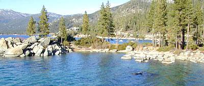
Lake Tahoe Basin Map

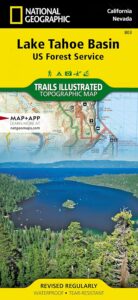
NatGeo Map #803
Tahoe Basin

Tahoe NatGeo Map

Lake Tahoe Trails Illustrated Map from National Geographic

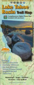
Recreation Map for Lake Tahoe Basin, Topographic Lake Map, Backroads Hiking Maps, Tahoe Backpacking, Tahoe Camping, All Campgrounds, Trailheads, Creeks and Lakes. Sierra Nevada Back Roads, Truckee River Camping and Hiking Map. Very detailed and especially colorful, topo map. In this case, a 2 -sided map, waterproof plastic map; tear resistant. GPS data. Map scale 1:63,360 / Contour Interval = 50 feet. ISBN# 9781566953344

Lake Tahoe Basin Map

Lake Tahoe Basin MapMany believe that Lake Tahoe was formed by the collapse of an ancient volcanic crater, but the natural lake and mountain basin was actually formed by the rise and fall of the landscape due to faulting.

The Tahoe Basin which spans approximately 22 miles long (and 12 wide), is located on top of the Sierra Nevada mountain range. Separating California from Nevada state, a year-round, mountain resort destination. In particular, this is considered the north part of the majestic Eastern Sierra range. Furthermore, Lake Tahoe is often referred to as “Jewel of the Sierra”.camp map

Largest freshwater, alpine lake in North America.
Second deepest lake in the U.S.
Second highest lake in the U.S.

LAKE TAHOE – 6625′ elevation above sea level

Equally as relevant, our wide range of Tahoe maps listed below are current, full color publications – covering wildlife to wildflowers, forest back roads to 4WD routes, horseback trailheads to hiking trails, mountain peaks to meadows, creeks to waterfalls, trail camps to campgrounds, and of course cross country skiing to backcountry ski tours.

NatGeo Tahoe Map Pack

Map Pack NG

NatGeo Wilderness Map:
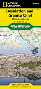
Desolation & Granite Chief

desolation map

Adventure Maps Tahoe Trails

Trail Map Lake Tahoe

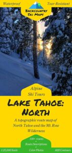
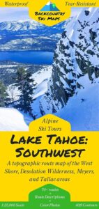
Tahoe Backcountry Ski Maps

Ski Maps Tahoe N

Tahoe Ski Map
Lake Tahoe Basin Map

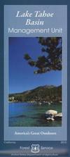
Lake Tahoe Basin Management Unit, USDA Map


tahoebasin

Lake Tahoe Map USDA
Lake Tahoe Basin Management Unit

NFS Lake Tahoe Basin Map USDA

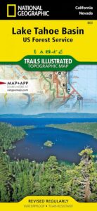
Lake Tahoe Basin & Vicinity

USGS Map California: Lake Tahoe Basin Map; Sierra Nevada Mountains, Lake Tahoe, Desolation Wilderness, Granite Chief, Fallen Leaf Lake. Tahoe Recreation, Camping Map. USDA NFS Recreation Area. Certainly all forest lands, trails and roads surrounding Lake Tahoe; 10 miles all the way around lake. Printed on waterproof plastic. Pictured published 2010. ISBN# 9781593514808.

LAKE TAHOE
OUTDOOR RECREATION

  • backpackinghikers map
  • boating
  • camping
  • casinos
  • cycling
  • fishing
  • hikinghorse trail maps
  • horseback
  • kayaking
  • mountain biking
  • mountaineering
  • off-roading
  • sailing4x4 maps
  • snow skiing
  • snowboarding
  • swimming
  • water skiing
  • xc skiing

see also –
Tahoe Rim Trail
Tahoe National Forest Map
Lake Tahoe Maps
Tahoe 4×4 Map Guide
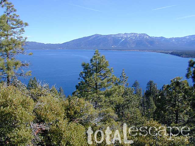
Lake Tahoe Basin Map

Tahoe National Forest

nearby towns:

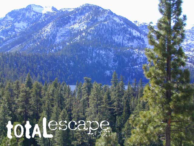
In the distance, Desolation Wilderness can be seen on the opposite side of the lake, typically covered in snow more than half the year.
snowridge

Desolation Wilderness on the Westside of Lake Tahoe

Thermal Underwear

Duofold Long Underwear

Decades of cold weather, OUTDOOR recreation experience, means we know what keeps us warm and what doesn’t. When shopping for good thermal underwear, choose top rated brands like Patagonia, Duofold & Carhartt. Look for customer reviews and choose only products with 4 stars or above.

Thermal Underwear


Smart Wool Socks

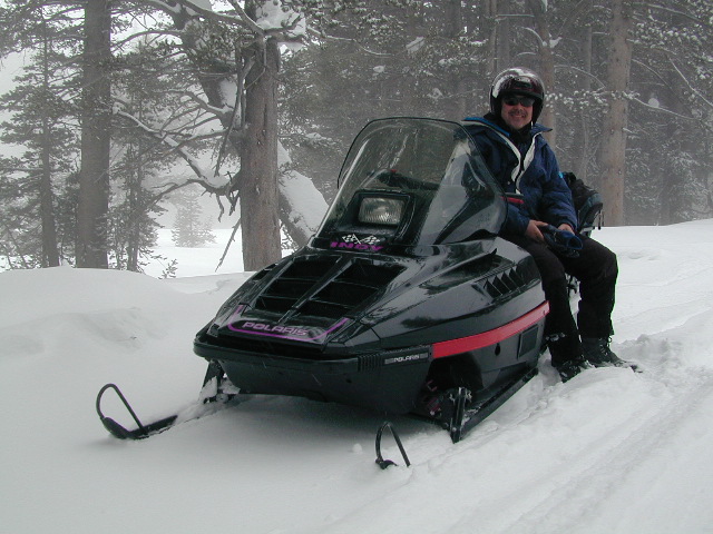
snow mobile rentals

see also –

Outdoor Gear for California

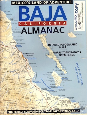
Baja Almanac

Baja California Almanac Map

The Biggest & Best Baja California Topo Atlas

Baja Almanac Map

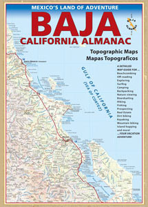
baja almanac 2021This map covers both top and bottom of the peninsula: Baja Norte (NORTH) & Baja Sur (SOUTH), BC Mexico

Baja Almanac PDF?

2021 UPDATE:
available for free, in a PDF download from
baja-almanac.com


NOTE: every so often these printed map books can be found on eBay or Amazon,or elsewhere online usually commanding a high for price tag for a “used copy”

Baja Almanac 2003

Baja Almanac 2003

Baja Almanac – by Landon S. Crumpton

Mexico Maps – Both Northern & Southern Baja California in one atlas. The Best Maps of Baja, period! Excellent resource while traveling in Mexico. If you plan on driving deep into Baja and really exploring back roads, hidden coves, surf spots, deserts, petroglyphs… this is the map to have.

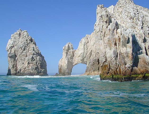
Lands End

baja california almanac

2009 edition (large format)

This version was the largest format ever printed on this map, detailing every inch of Mexico’s Baja California peninsula. Thinner and larger means less page flipping. With over 10,000 entries, the Baja Almanac lets you pinpoint any location in Baja, down to the most remote ranch or campsite. Published 2009. ISBN# 9780965866347

  • Larger Size: 10.75″ wide x 15.25″ tall
  • Printed on 70lb Paper with Matte Finish, a crisper, more defined presentation
  • Adjoining Map Overlap, each map displays an overlapping segment of adjoining map pages
  • Updated Land Routes & Cultural Features
  • Complete Indexes, Mileage Chart and Primary Route Distance in both miles & kilometers
baja maps

OLDER VERSION

baja norte

REAL OLD VERSION

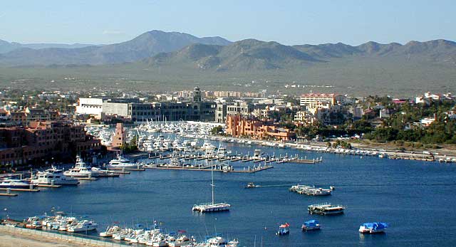
CSL Marina

CABO SAN LUCAS MARINA

NatGeo makes waterproof hard-copy maps of the the Baja Peninsula.

see –bajamapsnatgeo
National Geographic Baja Maps


baja maps


gonzagabay

Gonzaga Bay, Baja California

Bay of L.A.

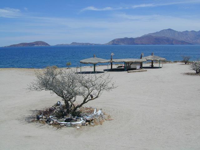
Bay of L.A.(aka Bay of Los Angeles) Baja California

Catavina

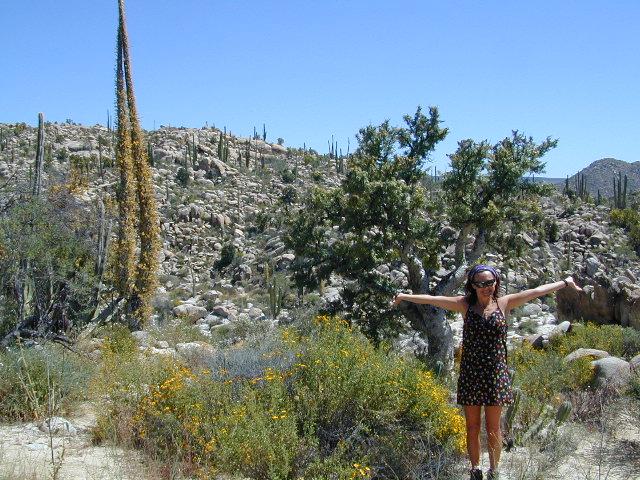
DanaMite @ Catavina, B.C. Mexico


Joshua Tree Maps

Joshua Tree National Park Map

Joshua Tree Maps
Both Tom Harrison and NatGeo make awesome recreation maps of this popular SoCal desert. Numerous campgrounds, hiking trails, dirt roads, historic mines, and plenty rock climbing spots. In 1934, Joshua Tree was designated as a National Monument and then later became a National Park in 1994. The local Palm Springs Desert BLM office has paper maps that cover the desert canyon areas near Interstate 10.

JT Maps

Joshua Tree Recreation Map
by Tom Harrison

Joshua Tree National Park Map, Climbing Joshua Tree Camping Backpacking Maps, Areas include: Black Rock Canyon, Hidden Valley, Barker Dam, Keys View, Lost Horse Valley, Lost Horse Mine, Ryan Mountain, Cholla Cactus Garden, Cottonwood Spring, Lost Palms Oasis, Geology Tour Road, Cap Rock, Jumbo Rocks, Wonderland of Rocks, Arch Rock. High Desert Yucca Valley; Durable, waterproof plastic map; Folded. Map Scale: 125K; ISBN# 9781877689536

digital mapsget a digital version of this map
Joshua Tree Park Map by Tom Harrison

Joshua Tree Maps

Quiet Camps in the Desert

Joshua Tree National Park Map #226
by National Geographic

Trails Illustrated Map from National Geographic. Joshua Tree National Park Map #226. Joshua Tree Park Map, Camping & Hiking Map. Very detailed & colorful. Waterproof Plastic Map; Tear Resistant. GPS data. Scale 1:80,000 Contour Interval = 100 feet. ISBN# 9781566953009

digital mapsget a digital version of this map
NatGeo Map 226 – Joshua Tree National Park

Joshua Tree Maps

online maps

digital maps for download

Joshua Tree Maps

Joshua Tree Maps

Joshua Tree Maps can get you beyond the crowds, to the outlying places that few know about. Summers can be hot here in the High Desert at 4000′ elevation, but not as hot as the Palm Springs / Coachella Valley below.

Winters can be chilly and windy, especially with any storm front moving through SoCal. Snow is possible at this elevation. Low temps overnight can drop into the teens during certain times of year – so make sure to bring a zero degree sleeping bag and good thermal undies.

Spring (wildflowers) and autumn are ideal times to visit JTNP.

Joshua Tree Maps

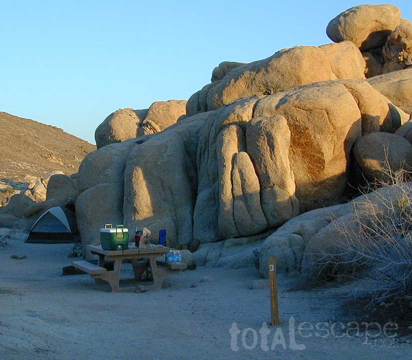
Camping Joshua Tree National Park Desert