Kaiser Wilderness Map

Views from Kaiser

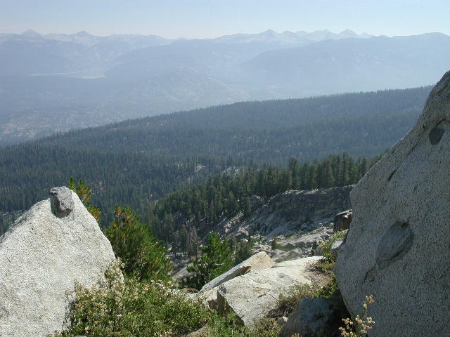
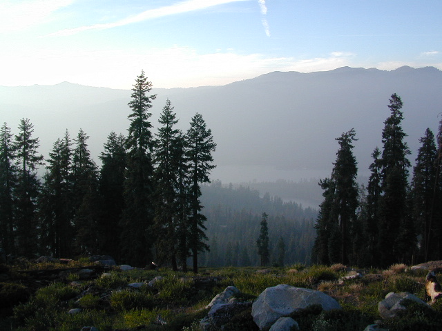
Wonderful high elevation views from the peaks.

Kaiser Pass Hiking Map

Kaiser Map / Kaiser Pass / Sierra Kaiser Wilderness

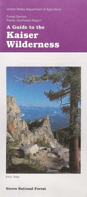
Tom Harrison Maps makes the newest version of this Central Sierrra wilderness map. Kaiser Wilderness has glacier boulders, huge granite – Kaiser Peak, 4×4 routes and big cell phone towers, plus a lotta great views all the way around. Elevations range from 7000′ to 10,320′ above sea level.

Kaiser Pass Road is a narrow paved road, located in between Huntington Lake and Edison Lake; Only open in the summer months and closed for winter. No long trailers or RVs allowed on this route. Minimal pulls outs, maximum scenery.

Headwaters to the San Joaquin River start way back here in the mid-Sierra mountains. Decent fishing, awesome camping, rock climbing, hot springs and plenty of hidden spaces. Hiking and mountain biking in this region is abundant, as well as in winter, with cross-country skiing and snowmo trails.

avenza mapsdownload digital version of this map
Kaiser Wilderness Topo Map

Kaiser Wilderness Map

WILDFIRE NOTICE: This Wilderness area may be currently closed due to the aftermath of a massive wildfire. Creek Fire 2020

Kaiser Wilderness MapHuntington Lake marks the region for KAISER, a steep paved road, which climbs down the mountain on the west side of the lake. Extreme heights, granite boulders and chaparral. 25 mph max kinda road, for dozens of miles. Not a quick or easy day trip kinda place. Plan for weeks, or at least several days, out exploring in this country.

Kaiser Wilderness MapSnow is deep! Snowmobiling is very popular on the Kaiser route and in this deep snow region. China Peak (aka Sierra Summit) is the local ski resort. Cabins, condos and campgrounds are all available at Huntington Lake.

The Kaiser Road is one of the highest paved mountain roads in all California. Great views to the Eastern Sierra and all the way around. Numerous primitive camps and trailheads, adjacent to the Wilderness Area. Kaiser Pass has the DUSY ERSHIM 4×4 Trail, second only to the RUBICON TRAIL in popularity. Some dirt roads may require high clearance, or perhaps 4-wheel drive. Signage gets knocked down, mud can turn to powder fine dust in summer, lots of erosion, landslides, rock slides. Have a good topographical map and know your vehicles limitations.

nearby destinations:

Kaiser Wilderness Map USDAKaiser Wilderness MapKaiser Wilderness Map

currently unavailable on Amazon. may be found at local ranger station.

HUNTINGTON LAKE, CA Kaiser Wilderness Trail Map, part of Sierra National Forest has destinations like Huntington Lake, Lakeshore, Kaiser Peak ( 10,320′ elevation), Kaiser Pass. Kaiser Wilderness, XC skiing, Snowmobile Trails. Perfect for a day hike reference or extended backpacking adventures.

USDA NFS Map Scale = 2″ to mile; Printed on paper in 1991. Might only be found at USFS Ranger Station Pineridge @ Tollhouse, on Highway 168
Kaiser Wilderness Map

Kaiser Pass, Sierra Map, Wilderness Trails, Topo, Huntington, Mono Hot Springs
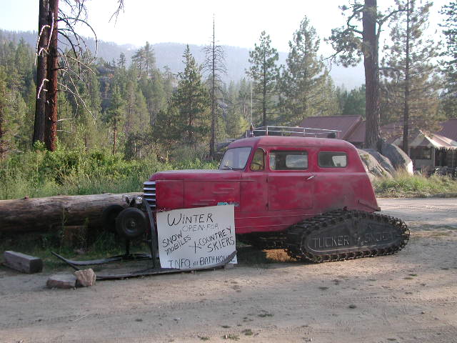
Mono Hot Springs

Mono Hot Springs, open all year long.
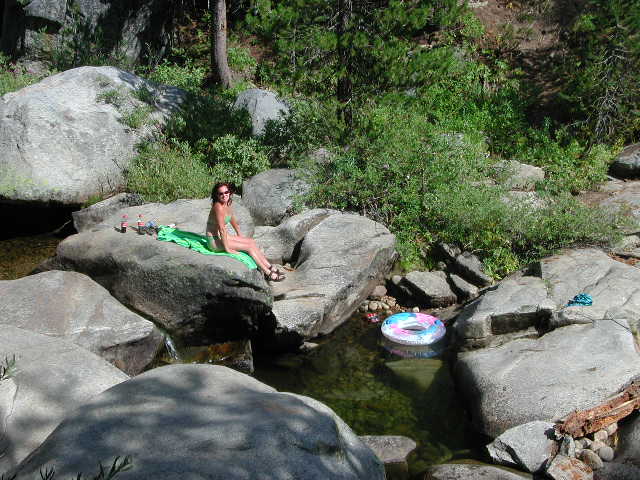
 

Rancheria Creek

Camping on a Creek

wikipedia.org/wiki/Kaiser_Wilderness

National Geographic Maps makes a much larger, full color map that covers the whole region, from Shaver Lake @ Highway 168, way out to Dinkey Lakes Wilderness. The map scale is much wider, so it is not considered a trail map, like the Tom Harrison Topo and the USDA maps listed above.shaverlakemap
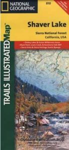
NatGeo Shaver Lake Map


see also – snow

Sierra Forest Map
Sierra National Forest Map
Sierra National Forest Atlas
Dinkey Lakes Maps

Zion National Park Map

Zion National Park Map

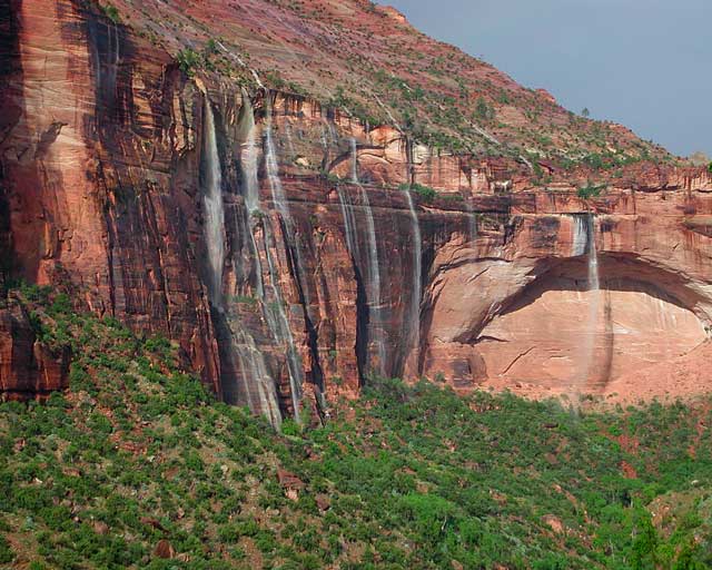
Waterfalls appear after a big sudden thunderstorm.

National Geographic Trails Illustrated Map #214
Zion Canyon, Virgin River, Zion NP

Zion National Park, UT – Zion Narrows, Kolob Canyons, La Verkin Creek Trail, Hop Valley Trail, Wildcat Canyon, West Rim Trail, Floor of the Valley Road, East Rim Trail, Telephone Canyon, and the Virgin River.

Waterproof Map Paper. Printed in 2019, ISBN 9781566952972


hikers map

Zion National Park Map

Zion Canyon is a mini Yosemite Valley, in red rock, in the high desert.

A terra cotta colored wonderland.

Zion National Park is one of the most visited of all the Utah National Parks Loop, due primarily to its proximity to Las Vegas, NV and Interstate 15.

Zion National Park Map

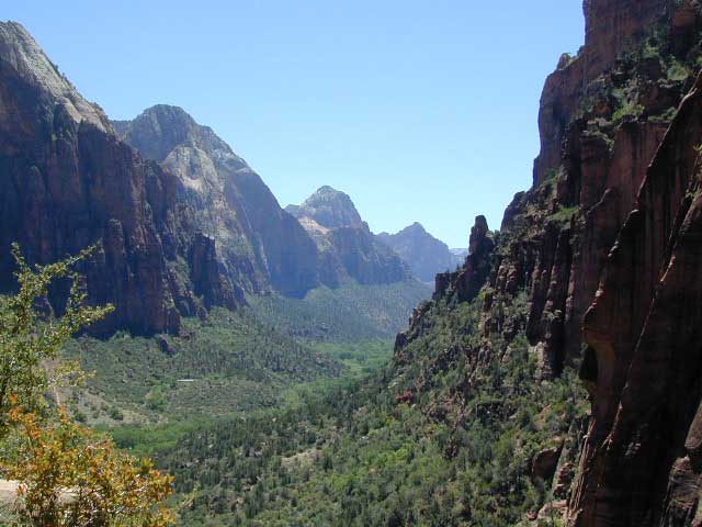
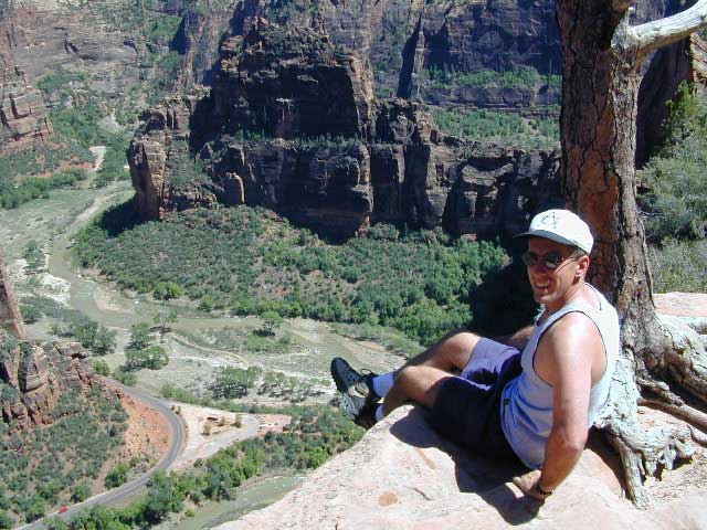
Zion Canyon, from hiking trail to Angel’s Landing

ZION NP OVERVIEW: To prevent traffic jams and preserve the wildness, the NPS offers a common parking lot (on Hwy 9 @ Springdale, UT) with tram/shuttle service to and from the valley. Plan to be away from your car most of the day when visiting the main canyon. Unless of course, you have reservations at the main lodge. Numerous hiking trails, the Virgin River, Zion Lodge and a restaurants.

Utah Highway 9 leads east through tunnels and more amazing rock scenery, with abundant pullouts for RVs and visitors. Nice uncrowded hikes can be found on the east side of the National Park at many of these random parking lots along the highway.

A small portion of Zion National Park parallels Interstate 15. This Kolob Area is far less crowded than the rest of the park, but no camping is allowed.

Abundant boondock camps can be found all over the Zion area, even along the freeway.

Awesome camps that we discovered in the late 1990’s are now well known and crowded, all year long.

Free river beach campsites W of Rockville, high country of the Smithsonian Butte trail, above Grafton ghost town. These areas are NO LONGER a secret, and are very crowded. BLM camping at Leeds exit is on a first come basis and limited, so you better arrive before dark for the best spots.

EXPERTS TIP – Buy a real map and learn to find campsites, that no one else knows about. Mark a GPS waypoints for future reference. Have the whole place to yourself for once!

Benchmark Atlas: Utah

Zion National Park Map

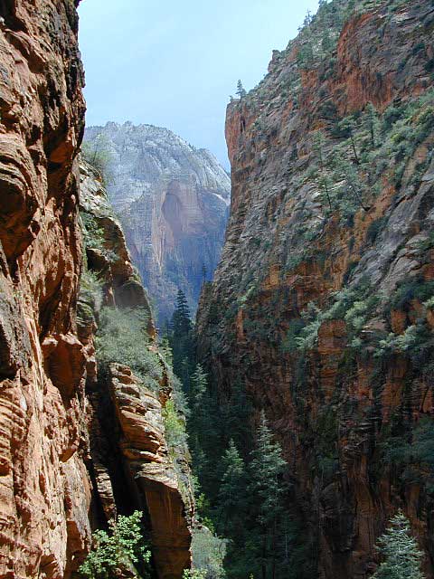
Hiking Zion National Park – Refrigerator Canyon. Refreshingly cool breezes pass through this canyon, so even hot summer days are okay. A great place to escape the mid-day heat.

avenzabar

apps/maps:
download digital topos & maps

driftwood

more maps on Utah


Zion National Park Map

Atop Angel’s Landing, Zion National Park, Utah

see also –

Bryce Canyon National Park Map
Capital Reef National Park Map 
Utah Maps
Utah Books

Canyonlands Map

Canyonlands National Park: Utah Maps

Canyonlands Map

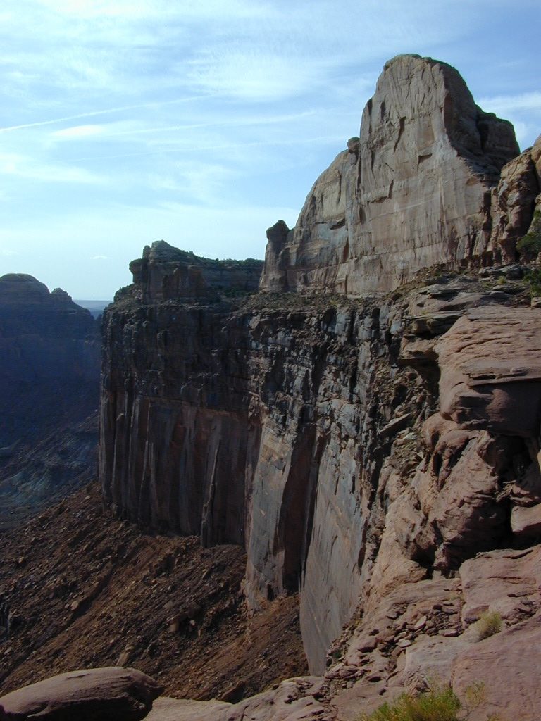
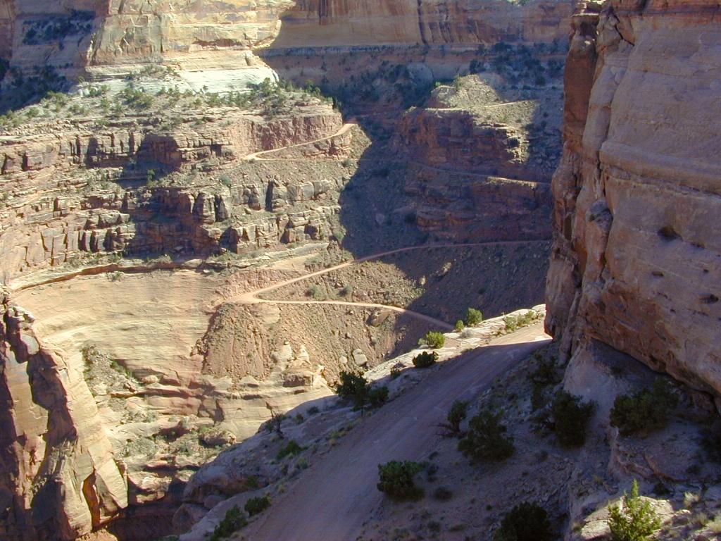
This scenic National Park is so large there are several maps covering this mini-Grand-Canyon-looking desert destination. White Rim Trail is a popular mountain bike route and primitive camping area, but it is extremely rugged and requires a 4 wheel drive vehicle.

Canyonlands Map

Canyonlands Map
Canyonlands Maps by NatGeo

The park preserves a colorful landscape eroded into numerous canyons, mesas, and buttes by the Colorado River, the Green River, and their respective tributaries. This National Park is divided into four districts: the Island in the Sky, the Needles, the Maze, and the combined rivers—the Green and Colorado—which carved two large canyons into the Colorado Plateau. While these areas share a primitive desert atmosphere, each retains its own character.

Canyonlands Map

Canyonlands Map

Canyonlands Map


Canyonlands Map

Schaffer Trail, a most scenic drive that leads back to Moab.

see also – camp maps

Arches National Park Map
Utah Maps
Moab Utah

Anza Borrego Desert Map

Anza Borrego Desert Map

Split Mountain, Anza Borrego State Park

Anza Borrego Map

Both Tom Harrison and Wilderness Press make topographic maps of this beautiful desert region in Southern California. Numerous free digital maps for specific areas are now available from Avenza Maps, however we do suggest always carrying real, hard-copy maps.

Wilderness Press Anza Borrego Desert Map

Anza Borrego MapAnza Borrego Desert State Park, San Diego Mountains, San Diego Desert Hiking, Free Car Camping, Secluded Camping California, Southern California Desert Campgrounds, SoCal Camping, OHV Trails San Diego County Back Roads

Anza Borrego Desert State Park

Anza Borrego Desert Region and in addition the Yuha Desert. Ocotillo Wells SVRA, Bow Willow Campground, Split Mountain, Fish Creek Campground, Coyote Mountains, as well as all Anza Borrego Campgrounds. Roads, highways, dirt roads, 4×4 routes, trails, San Diego back roads. Also Interstate 8, California State Route Highwy 78, San Diego County Rd S-22, San Diego Road S-2, Road S-3, Road S-1 Laguna mountains, Sunrise Highway, Great Stagecoach Route of 1849; Plastic Map ISBN# 9780899974019

This item is a companion map to the book called The Anza Borrego Desert Region, by Lowell and Diana Lindsay (Wilderness Press).

digital maps

apps/maps:
download digital topos & maps

driftwood

nearby towns:

Anza Borrego Maps

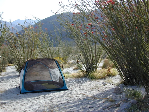
SPRINGTIME BLOOM: Ocotillo Camping (for free) in Coyote Wash

San Diego Backcountry Map

Similarly, the Tom Harrison Map for the San Diego Deserts and Anza Borrego. The #1 selling map for the San Diego deserts!

San Diego Backcountry Recreation Map covers the entire Anza Borrego Desert State Park, the largest State Park in California and some eastern portions of Cleveland National Forest; San Diego County Road S-2, S-22, Interstate 8, Highway 78 and Highway 94 to Tecate Mexico.

San Diego Backcountry Map

OLDER VERSION

Also all areas surrounding Borrego Springs, Julian and Warner Springs. PCT access (Pacific Crest Trail) plus Table Mountain, Sheep Canyon, OHV Deserts Ocotillo Wells SVRA, McCain Valley Camping, Carrizo Gorge Trestle Hike, Jacumba Hot Springs, Tierra del Sol 4×4 Trails, San Diego Lake Morena, Barrett Lake, Campo CA Potrero Regional Park, Agua Caliente Hot Springs, Carrizo Goat Trestle and Canyon sin Nombre Badlands.

Tom Harrison Recreation Map; Durable, waterproof plastic map; Folded. Map Scale: 125K; ISBN# 9781877689543

Anza Borrego Map

ANZA BORREGO – Largest State Park in California


borrego map

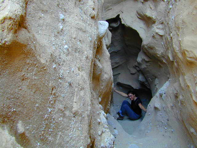
DanaMite in the Slot Canyon, way back in 2001