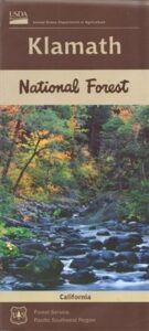
Klamath National Forest Map

Northern California’s Klamath region is a wild and rugged country, for city folks thinking about visiting, especially during the wet winters. Call ahead to local ranger stations to find out if the roads are indeed open and if 4×4 is required. Always check the weather forecast and do not expect cell phone coverage in this remote, steep, narrow, river canyon landscape. Rock slides and landslides are quite common, therefore you should be well prepared to spend the night in your vehicle. Pack warm clothes, blankets, flashlights, food and drinking water whenever you travel in this neck of the woods.

2024: THIS MAP CURRENTLY UNAVAILABLE

klamath river map

Klamath River Map

klamath mapsNorthern California forest situated around the Klamath River

Klamath River Map / Klamath National Forest
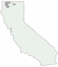
Klamath Forest

klamath river mapKlamath National Forest Map USDA
USGS map California: Klamath Map. Klamath River Camping, Hiking and Fishing. NorCal Mountains, Rivers, Creeks

Klamath Ranger Map – NFS issued map. GPS: Longitude & Latitude; Rivers, Creeks, Peaks, Elevations, 4WD & every dirt BackRoad, Hot Springs, Equestrian Areas, all Campgrounds, Hiking Trails & BackPacking Trailheads. Areas include: Northern California, Trinity County, Siskiyou County, Humbolt County, Yreka, Fort Jones, Happy Camp, Klamath River, Scott River, Salmon River, Marble Mountain Wilderness, Salmon Mountains , Macdoel, Goosenest, Oak Knoll, Ukonom, Orleans, fishing map klamathButte Valley Wildlife Area, Somes Bar, Siskiyou Mountains, Oregon border.

Map Size: 35″x 45″ overall / 4″x9″ folded; ISBN# 9781628114249
Klamath River Map

OLDER VERSION

Klamath Topo Map

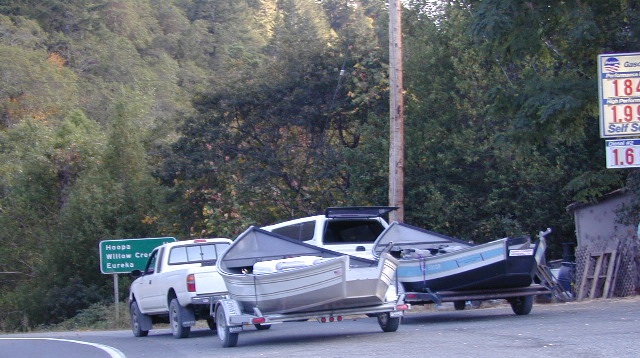
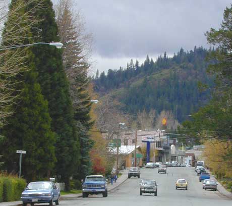
Klamath Highway 96 – when gasoline was less than $2 per gallon!

Road Impassible?

Road conditions on Klamath Forest roads can change at a moment’s notice. In Northern California wet climate, sudden storms can cause land slides, deep mud, erosion and flash floods. Areas that were easily accessible in other seasons can become treacherous in winter. Forest roads may be closed and gated in winter months. A high-clearance vehicle is best when traveling within the Klamath National Forest, and in wetter months 4-wheel drive may be required on the back roads This region in particular has an increased risk of avalanche, even along paved Highway 96.
REAL OLD EDITION
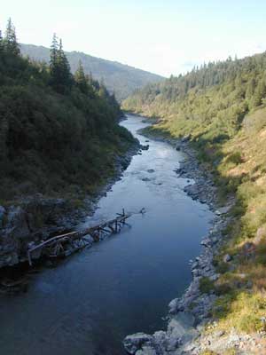
klamath river map

PCT Klamath Maps

PCT Map Klamath NF

PCT Oregon South

Klamath Maps

Downtown Weed, California


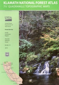
Klamath Forest Atlas

Klamath Topo Atlas USDA

Klamath National Forest

nearby towns:klamath trail map

Klamath National Forest Maps

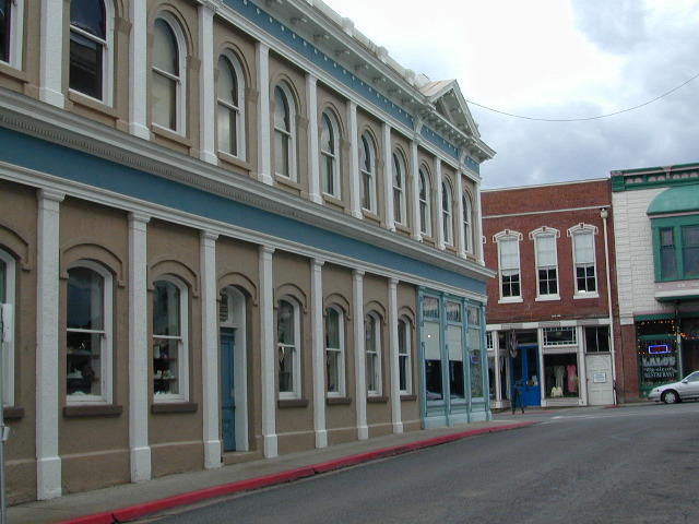
Downtown Yreka, California

NFS or USFS

Klamath USFS ranger stations:

Klamath National Forest Headquarters
1711 South Main Street
(Highway 3: Fort Jones Road)
Yreka, California 96097
530-842-6131

Macdoel Ranger Station USFS
Goosenest Ranger District
Butte Valley National Grassland
37805 Highway 97, Macdoel, CA 96058
530-398-4391

Happy Camp Ranger Station USFS
Oak Knoll Ranger District
63822 Highway 96, Happy Camp, CA 96039
530-493-2243

Fort Jones Ranger Station
Salmon River USFS
Scott River Ranger District
11263 Highway 3, Ft Jones, CA 96032
530-468-5351

ranger stations

Modoc National Forest Map

Modoc NF Map
NFS – USDA – U.S. Forest Service

Modoc National Forest Map

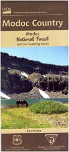
Modoc Country
Northeast California
Pit River, Warner Mountains

Modoc National Forest Map

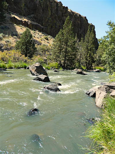
Pit River in Jess Valley

MODOC NF Map

Modoc Country Map. Modoc & Lassen County, Alturas, Tulelake, Cedarville, Warner Mountain, South Warner Wilderness

Standard Issue. Ranger Map – NFS issued map. GPS: Longitude & Latitude; Rivers, Creeks, Peaks, Elevations, 4WD & every dirt BackRoad, Hot Springs, Equestrian Areas, all Campgrounds, Hiking Trails & BackPacking Trailheads. Northeast CA state.

Modoc Map

OLDER VERSION

Modoc National Forest MapAreas include: Northeastern California, Modoc County, Lassen County, Alturas, Tulelake, Cedarville, Adin, Lava Bed National Monument, Devil’s Garden Wetlands, Big Valley, Doublehead, Warner Mountain, Goose Lake, South Warner Wilderness, Medicine Lake, Big Sage Reservoir, Clear Lake Reservoir, Lower Klamath Lake, Tule Lake Sump, Door Knob Snowmobile Area, Long Bell State Game Refuge, Oregon border.

Map Size: 39″x45″ overall / 4″x9″ folded; Printed on plastic.

see also – Modoc Topo Atlas

Modoc National Forest Map

Mill Creek Falls & Campground

Looking to escape the crowds in California? Then head north, way north, to the eastern reaches of Modoc. This remote, high-elevation area gets some serious winter weather and snow, so visiting during the warmer months would be ideal for -camping, backpacking, horseback riding, fishing, kayaking, hiking, hunting and off roading. Hundreds of miles of dirt roads weave in and out of dense forests, around lakes, over creeks and connect Alturas to Cedarville, CA

Northern California Forest / Modoc Country: Modoc National Forest

Wilderness areas in Modoc: South Warner Wilderness Map

Modoc National Forest Map

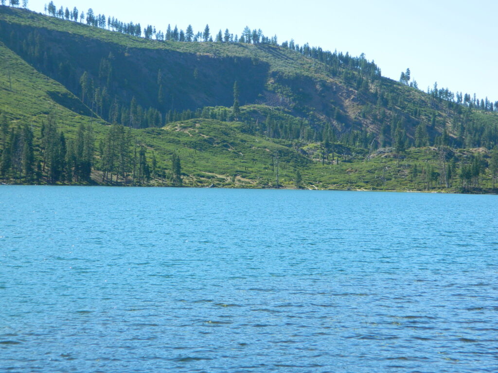
Blue Lake of Modoc NF

nearby towns:

Marble Mountain Wilderness Map

Marble Mountain / Russian Wilderness Map

Marble Mountain Wilderness MapMarble Mountain Wilderness Map USDA

Marble Mountain Wilderness Map

Klamath River / Marble Mountains / Russian Wilderness
Marble Mountain Wilderness

Klamath National Forest

Marble Mountain Wilderness Map

OLDER VERSION

Yreka, Happy Camp, Klamath River, Salmon River, Scott River, Fort Jones, Orleans, Cuddihy Lake, Upper Albert Lake, Russian Wilderness.

Perfect for a day hike reference or extended backpacking adventures. 1″ & 2″ to mile; Waterproof plastic map paper. This map can usually be found at local Ranger Stations. ISBN# 9781593514204

NorCal:
best guide book for wild

Cliff Lake Backpacking Trip, Marble Mountain Wilderness, California, Aug 2007

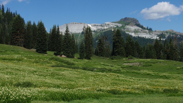
horse trail mapsThe Marble Mountain  Wilderness is an area of high divides, deep canyons and perennial mountain streams provides habitat for a wide variety of plant and animal life. With more than 7,000 feet of vertical relief, soils from several rock types, and abundant rain and snowfall, the diversity of ecosystems is unequaled anywhere else in the country.

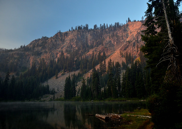
fishing mapWith 89 lakes and two major Wild and Scenic river systems – Wooley Creek and the North Fork Salmon River, as well as 32 miles of the Pacific Crest Trail, there are many recreation opportunities. Elevations range from 400 to 8,299 feet; the wilderness has highly variable terrain with low-elevation canyons and high ridges such as the 22-mile-long English Peak ridge.

Popular activities include fishing, backpacking, mountaineering, rock climbing, and cross-country skiing.

camp map

There are also numerous caves within this wilderness, accessible to prepared spelunkers. They all feature stalactites and other flowstone formations, and are accessible mostly by vertical drops. Due to the hidden nature of most of the cave mouths, caving is not regulated, though the Forest Service and National Speleological Society request only experienced cavers attempt to access these dangerous caves. Signs at the trail heads that access the Marble Rim warn of white nose syndrome. One of the deepest caves in the continental US is located in the wilderness, Bigfoot Cave.

Sky High Basin 05

Summit Lake


Zion National Park Map

Zion National Park Map

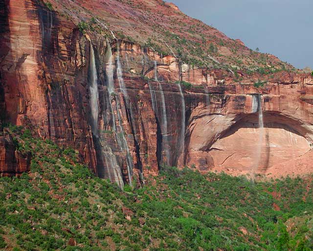
Waterfalls appear after a big sudden thunderstorm.

National Geographic Trails Illustrated Map #214
Zion Canyon, Virgin River, Zion NP

Zion National Park, UT – Zion Narrows, Kolob Canyons, La Verkin Creek Trail, Hop Valley Trail, Wildcat Canyon, West Rim Trail, Floor of the Valley Road, East Rim Trail, Telephone Canyon, and the Virgin River.

Waterproof Map Paper. Printed in 2019, ISBN 9781566952972


hikers map

Zion National Park Map

Zion Canyon is a mini Yosemite Valley, in red rock, in the high desert.

A terra cotta colored wonderland.

Zion National Park is one of the most visited of all the Utah National Parks Loop, due primarily to its proximity to Las Vegas, NV and Interstate 15.

Zion National Park Map

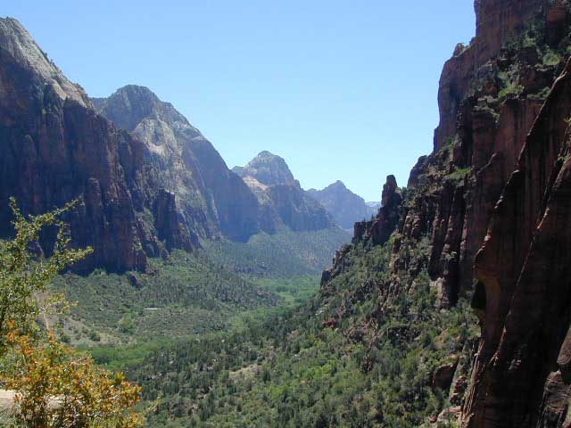
Zion Canyon, from hiking trail to Angel’s Landing

ZION NP OVERVIEW: To prevent traffic jams and preserve the wildness, the NPS offers a common parking lot (on Hwy 9 @ Springdale, UT) with tram/shuttle service to and from the valley. Plan to be away from your car most of the day when visiting the main canyon. Unless of course, you have reservations at the main lodge. Numerous hiking trails, the Virgin River, Zion Lodge and a restaurants.

Utah Highway 9 leads east through tunnels and more amazing rock scenery, with abundant pullouts for RVs and visitors. Nice uncrowded hikes can be found on the east side of the National Park at many of these random parking lots along the highway.

A small portion of Zion National Park parallels Interstate 15. This Kolob Area is far less crowded than the rest of the park, but no camping is allowed.

Abundant boondock camps can be found all over the Zion area, even along the freeway.

Awesome camps that we discovered in the late 1990’s are now well known and crowded, all year long.

Free river beach campsites W of Rockville, high country of the Smithsonian Butte trail, above Grafton ghost town. These areas are NO LONGER a secret, and are very crowded. BLM camping at Leeds exit is on a first come basis and limited, so you better arrive before dark for the best spots.

EXPERTS TIP – Buy a real map and learn to find campsites, that no one else knows about. Mark a GPS waypoints for future reference. Have the whole place to yourself for once!

Benchmark Atlas: Utah

Zion National Park Map

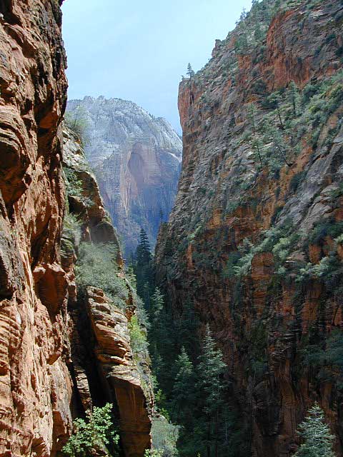
Hiking Zion National Park – Refrigerator Canyon. Refreshingly cool breezes pass through this canyon, so even hot summer days are okay. A great place to escape the mid-day heat.

avenzabar

apps/maps:
download digital topos & maps

driftwood

more maps on Utah


Zion National Park Map

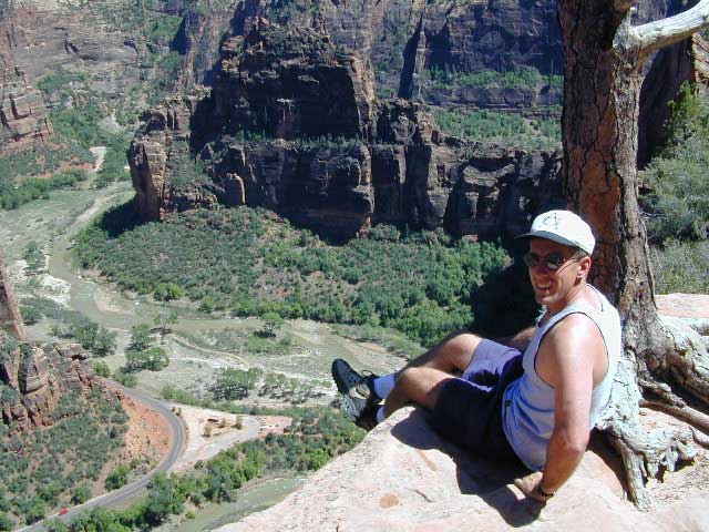
Atop Angel’s Landing, Zion National Park, Utah

see also –

Bryce Canyon National Park Map
Capital Reef National Park Map 
Utah Maps
Utah Books