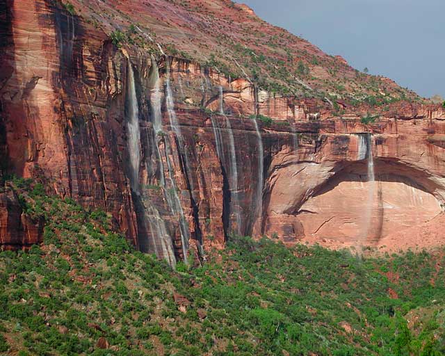
Waterfalls appear after a big sudden thunderstorm.
National Geographic Trails Illustrated Map #214
Zion Canyon, Virgin River, Zion NP
Zion National Park, UT – Zion Narrows, Kolob Canyons, La Verkin Creek Trail, Hop Valley Trail, Wildcat Canyon, West Rim Trail, Floor of the Valley Road, East Rim Trail, Telephone Canyon, and the Virgin River.
Waterproof Map Paper. Printed in 2019, ISBN 9781566952972

Zion National Park Map
Zion Canyon is a mini Yosemite Valley, in red rock, in the high desert.
A terra cotta colored wonderland.
Zion National Park is one of the most visited of all the Utah National Parks Loop, due primarily to its proximity to Las Vegas, NV and Interstate 15.

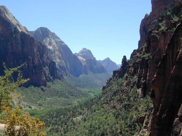
Zion Canyon, from hiking trail to Angel’s Landing
ZION NP OVERVIEW: To prevent traffic jams and preserve the wildness, the NPS offers a common parking lot (on Hwy 9 @ Springdale, UT) with tram/shuttle service to and from the valley. Plan to be away from your car most of the day when visiting the main canyon. Unless of course, you have reservations at the main lodge. Numerous hiking trails, the Virgin River, Zion Lodge and a restaurants.
Utah Highway 9 leads east through tunnels and more amazing rock scenery, with abundant pullouts for RVs and visitors. Nice uncrowded hikes can be found on the east side of the National Park at many of these random parking lots along the highway.
A small portion of Zion National Park parallels Interstate 15. This Kolob Area is far less crowded than the rest of the park, but no camping is allowed.
Abundant boondock camps can be found all over the Zion area, even along the freeway.
Awesome camps that we discovered in the late 1990’s are now well known and crowded, all year long.
Free river beach campsites W of Rockville, high country of the Smithsonian Butte trail, above Grafton ghost town. These areas are NO LONGER a secret, and are very crowded. BLM camping at Leeds exit is on a first come basis and limited, so you better arrive before dark for the best spots.
EXPERTS TIP – Buy a real map and learn to find campsites, that no one else knows about. Mark a GPS waypoints for future reference. Have the whole place to yourself for once!
Benchmark Atlas: Utah

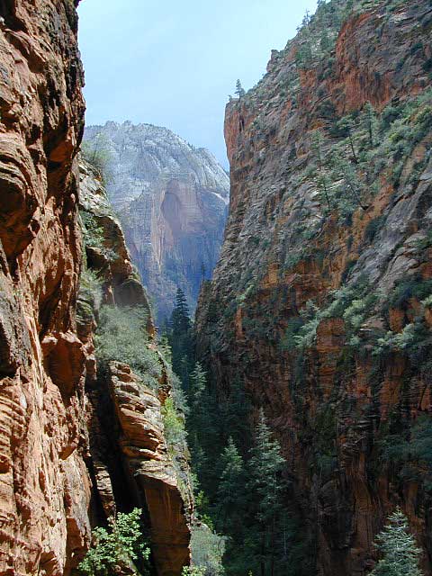
Hiking Zion National Park – Refrigerator Canyon. Refreshingly cool breezes pass through this canyon, so even hot summer days are okay. A great place to escape the mid-day heat.

apps/maps:
download digital topos & maps
- NatGeo Map 214 – Zion National Park
- NatGeo Map 715 – St George, Pine Valley Mtn
- Bike Zion Utah Trail Map by Adventure Maps
- BLM Utah Map – Red Mountain Wilderness (free)
- BLM Utah Map – Gooseberry Mesa (free)
- Zion Brochure – National Park Service (free)
- Zion Canyoneering & Hiking Topo
- Pine Valley Mountain Wilderness
- Zion National Park by AMG Maps
- Map the Xperience – Zion NP Map
- Zion Topo Maps by DigiQuads
- Springdale East, UT Topographic Map
- Springdale West, UT Topographic Map
- Utah Hunting Map
![]()
more maps on Utah

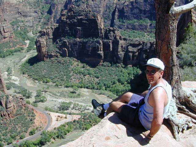
Atop Angel’s Landing, Zion National Park, Utah
see also –
Bryce Canyon National Park Map
Capital Reef National Park Map
Utah Maps
Utah Books


