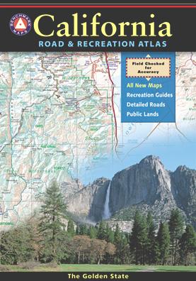
California Benchmark Atlas
The best selling state atlas for the golden state – The California Road and Recreation Atlas
Benchmark California Atlas
California Driving Map. Topographic features, back roads map.
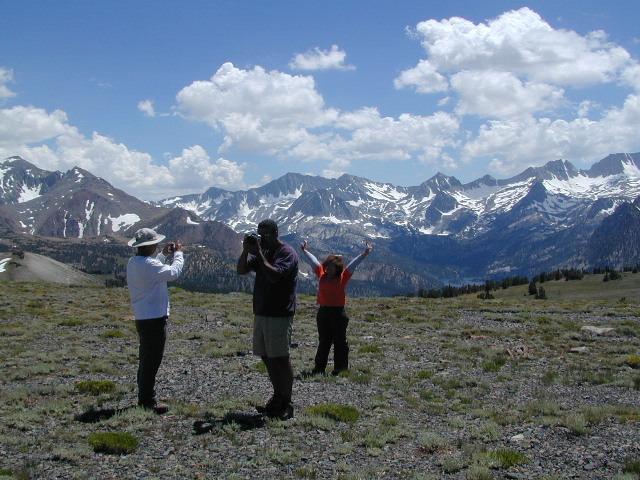
Best Overall Map: California Road & Recreation Atlas. This map books is the ideal state-wide map for any outdoor enthusiast. Excellent for exploring all of the golden state from the deserts of Southern California to the rivers of Northern California.
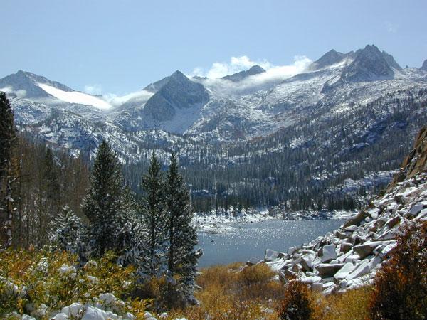
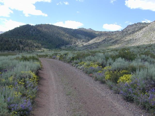
The Benchmark CA Atlas highlights include – all lakes, trailheads, Wilderness Areas, Campgrounds, National Forests, State Parks, National Parks, outdoor recreation destinations, plus extensive back roads (dirt & paved). This full color beauty is one of the most successful California map products of our time!
Recent editions have improvements: ground-cover detail at a very high-resolution.(forested, cultivated, marshland, desert, or scrub land). Extensively revised the 14-page Metro Map section; Complete Recreation Guide, page-to-page overlap and legendary accuracy. Printed on paper. 11th edition (2021) ISBN# 9781734315035

download this atlas w/ Avenza Maps
- Benchmark Atlas – California Landscape Maps
- Benchmark’s California Road Map
- Benchmark’s Northern California Recreation Map
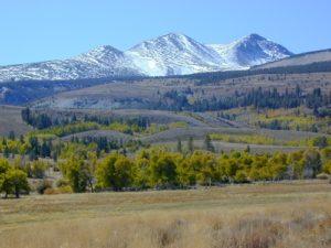
- Benchmark’s US Hwy 395 Map
![]()
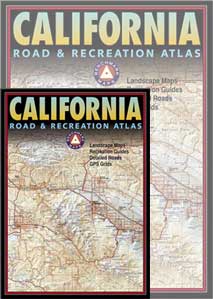
However, featured above is the current edition being sold but DanaMite actually prefers the look of the less-digitized version – the popular 2nd edition (printed in 2000), shown below. Easier to read maps, less text, less information overall, less busy looking.

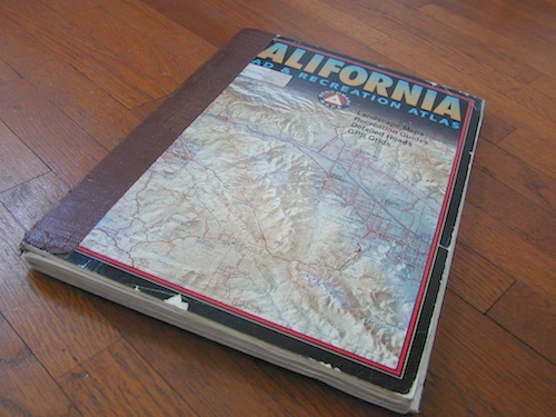
Well Used, Well Loved. 2000, Second Edition
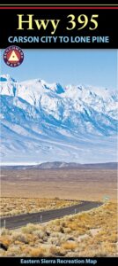
Benchmark US Hwy 395 Map

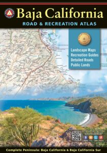
Baja California Atlas
by Benchmark Maps
see also –
Benchmark Atlases for other states
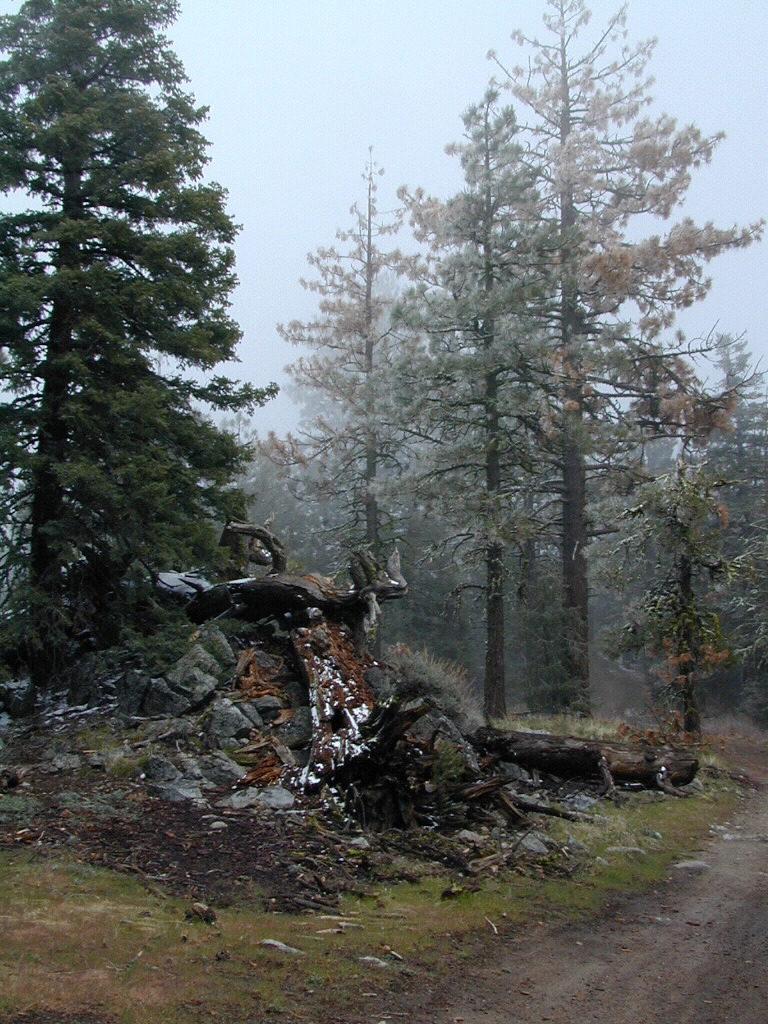
Timber Trail Route, Los Padres NF
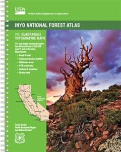
 The INYO atlas, is a spiral bound book – a collection of all the quads. (7.5 minute topographical maps, of all of