Ansel Adams Wilderness Map

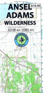
Ansel Adams Map USDA
USDA Ansel Adams

Ansel Adams Wilderness, part of Inyo NF and Sierra NF

This High Sierra terrain spans some of the most majestic areas of the Sierra Nevada – the youngest mountain range in the U.S. This wilderness is bordered by National Parks, National Forests, and other Wilderness Areas – all the way around it. Kaiser Wilderness and Lake Edison inside Sierra NF on the west, Yosemite National Park on the north, Inyo NF on the east side, and John Muir Wilderness on the south end. Wow!

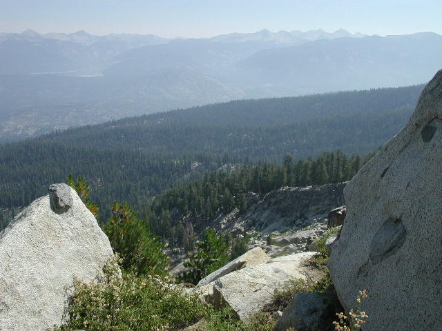
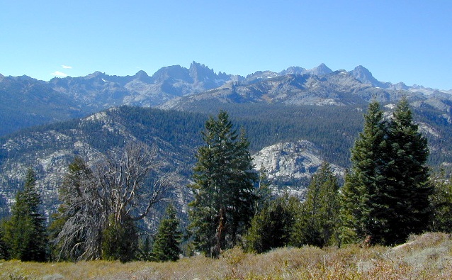
This 230,300 acre, high elevation wilderness was formerly the Minarets Wilderness, renamed in 1984 to honor the pioneering landscape photographer, Ansel Adams. Known for spectacular alpine scenery, elevations range from 7,000 to 14,000 feet. Rugged granite peaks and passes, with alpine lakes, includes high country east of the Sierra crest. Pacific Crest Trail and John Muir Trail cross this High Sierra Wilderness region.

This USDA map is also available at Ranger Stations.

Perfect for packing and hiking references, fishing lakes, creeks, high altitude camp sites, horse packing routes, or extended backpacking adventures. Map Scale = 1″ to mile; Printed on waterproof plastic paper. Updated in 2011. ISBN# 9781593515188
minarets

see also –

Ansel Adams Trail Map

Ansel Adams Wilderness Trail Map
by Tom Harrison Topo Maps
Eastern Sierra Trail Map

OLDER EDITION

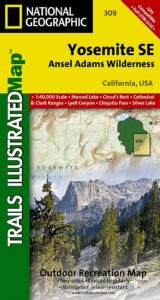
NatGeo Ansel Adams
Map #309
Yosemite SE

NatGeo Map

Ansel Adams Trailhead locations include –

Eastern Sierra: Lee Vining, June Lake, Mammoth Lakes, CA

Western Sierra: Edison Lake (pictured below), Huntington Lake, Shaver Lake, Clover Meadow, Mammoth Pool Reservoir, NorthFork via Bass Lake and Yosemite National Park.
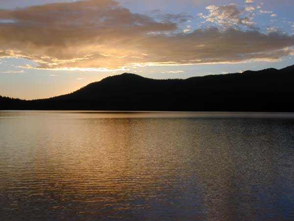
Edison Lake

Kaiser Wilderness Map

Views from Kaiser

Wonderful high elevation views from the peaks.

Kaiser Pass Hiking Map

Kaiser Map / Kaiser Pass / Sierra Kaiser Wilderness

Tom Harrison Maps makes the newest version of this Central Sierrra wilderness map. Kaiser Wilderness has glacier boulders, huge granite – Kaiser Peak, 4×4 routes and big cell phone towers, plus a lotta great views all the way around. Elevations range from 7000′ to 10,320′ above sea level.

Kaiser Pass Road is a narrow paved road, located in between Huntington Lake and Edison Lake; Only open in the summer months and closed for winter. No long trailers or RVs allowed on this route. Minimal pulls outs, maximum scenery.

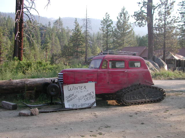
Headwaters to the San Joaquin River start way back here in the mid-Sierra mountains. Decent fishing, awesome camping, rock climbing, hot springs and plenty of hidden spaces. Hiking and mountain biking in this region is abundant, as well as in winter, with cross-country skiing and snowmo trails.

avenza mapsdownload digital version of this map
Kaiser Wilderness Topo Map

Kaiser Wilderness Map

WILDFIRE NOTICE: This Wilderness area may be currently closed due to the aftermath of a massive wildfire. Creek Fire 2020

Kaiser Wilderness MapHuntington Lake marks the region for KAISER, a steep paved road, which climbs down the mountain on the west side of the lake. Extreme heights, granite boulders and chaparral. 25 mph max kinda road, for dozens of miles. Not a quick or easy day trip kinda place. Plan for weeks, or at least several days, out exploring in this country.

Kaiser Wilderness MapSnow is deep! Snowmobiling is very popular on the Kaiser route and in this deep snow region. China Peak (aka Sierra Summit) is the local ski resort. Cabins, condos and campgrounds are all available at Huntington Lake.
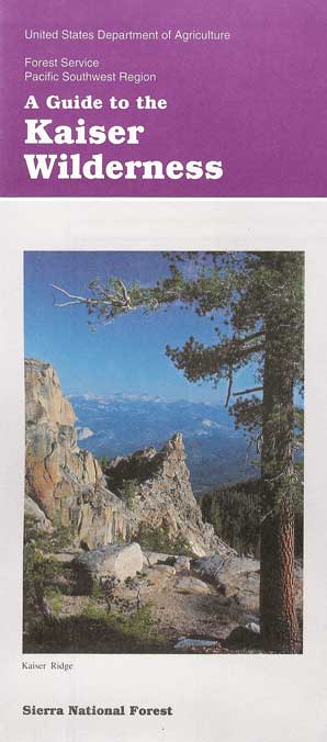
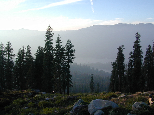
The Kaiser Road is one of the highest paved mountain roads in all California. Great views to the Eastern Sierra and all the way around. Numerous primitive camps and trailheads, adjacent to the Wilderness Area. Kaiser Pass has the DUSY ERSHIM 4×4 Trail, second only to the RUBICON TRAIL in popularity. Some dirt roads may require high clearance, or perhaps 4-wheel drive. Signage gets knocked down, mud can turn to powder fine dust in summer, lots of erosion, landslides, rock slides. Have a good topographical map and know your vehicles limitations.

nearby destinations:

Kaiser Wilderness Map USDAKaiser Wilderness MapKaiser Wilderness Map

currently unavailable on Amazon. may be found at local ranger station.

HUNTINGTON LAKE, CA Kaiser Wilderness Trail Map, part of Sierra National Forest has destinations like Huntington Lake, Lakeshore, Kaiser Peak ( 10,320′ elevation), Kaiser Pass. Kaiser Wilderness, XC skiing, Snowmobile Trails. Perfect for a day hike reference or extended backpacking adventures.

USDA NFS Map Scale = 2″ to mile; Printed on paper in 1991. Might only be found at USFS Ranger Station Pineridge @ Tollhouse, on Highway 168

Kaiser Wilderness Map

Kaiser Pass, Sierra Map, Wilderness Trails, Topo, Huntington, Mono Hot Springs

Mono Hot Springs

Mono Hot Springs, open all year long.


Rancheria Creek

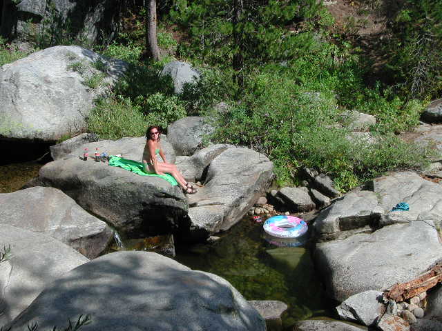
Camping on a Creek

wikipedia.org/wiki/Kaiser_Wilderness

National Geographic Maps makes a much larger, full color map that covers the whole region, from Shaver Lake @ Highway 168, way out to Dinkey Lakes Wilderness. The map scale is much wider, so it is not considered a trail map, like the Tom Harrison Topo and the USDA maps listed above.shaverlakemap

NatGeo Shaver Lake Map


see also – snow

Sierra Forest Map
Sierra National Forest Map
Sierra National Forest Atlas
Dinkey Lakes Maps

Shaver Lake Map

Shaver Lake
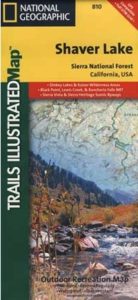
Sierra NF NatGeo Map #810

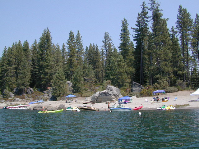
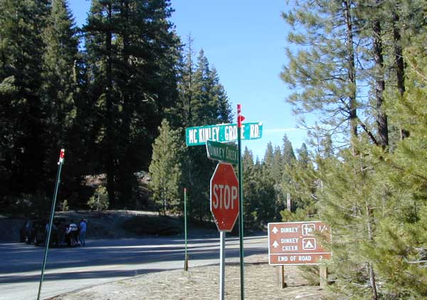
Shaver Lake is located in the Central Sierra, on the west side of the range, way up above Fresno, CA. Numerous alpine lakes and wilderness trailheads can be accessed via Highway 168 and the side route of Dinkey Creek Road. They even have a Sequoia Grove up here!

Shaver Lake Map, Huntington Lake, Sierra National Forest maps from National Geographic. 4×4 routes around the central Sierra Nevada. Dinkey Lakes Wilderness, Kaiser Wilderness, Rancheria Falls, Black Point, Lewis Creek Tamarack Creek, Red Mountain, Red Lake, Sierra Vista Scenic Byway, Sierra Heritage Scenic Byway. Hiking, mountain biking, horse back & OHV trails. Lake trails, wilderness trail, loop trail, lake campgrounds. Two sides, waterproof & tear resistant. National Geographic Map #810; Scale 1:63,360 / 1 inch = 1 mile. ISBN# 9781566952422

Shaver Lake Map

Shaver lake map

Shaver Beaches

Shaver Lake Map

see also –
Dinkey Lakes Maps
Kaiser Wilderness Map
Mono Divide Trail Map
Sierra National Forest Maps
Sierra Forest Topo Atlas

Shaver Lake Map

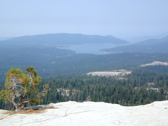
Bald Mountain Views

Wildfire has recently ravaged about half of this National Forest, from Shaver Lake to Mammoth Pool Reservoir; Kaiser Wilderness, San Joaquin River, Huntington Lake, all the way out to Lake Edison. Many areas could be closed to logging and fire cleanup. Check with USFS for specifics.
Creek Fire 2020

nearby locations –4x4 maps

Dinkey Lakes Maps

Dinkey Creek Map
Dinky Lakes, California

Several map producers cover this popular western Sierra Wilderness region. Tom Harrison makes a hiking topo, so does the USDA. NatGeo even has a nice, new, colorful Shaver Lake Map.Dinkey Creek Map

Dinkey Lake Wilderness

Dinkey Lake, Dinky Creek, Sierra National Forest, Courtright Reservoir, Trailheads, OHV 4×4 Routes, Dusy-Ershim Trail, Red Lake, Coyote Lake, Ershim Lake, Crater Lake, Summitt Lake, Mallard Lake, Mystery Lake Trail, Swede Lake, South Lake, Rainbow Lake, Swamp Lake, Island Lake, Rock Lake, Little Lake, First Dinkey Lake, Cliff Lake, Nelson Lakes, Helms Creek, Perkins Camp, Florence Lake, Jackass Meadow, Badger Flat, John Muir Wilderness

dinky lakes wilderness trails
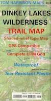
Dinkey Lakes Wilderness Trail Map

Topo Maps by Tom Harrison

Tom Harrison Trail Map: Dinkey Lake Wilderness , part of Sierra National Forest – Central Sierra California. Courtright Reservoir, Maxson Trailhead, OHV Swamp 4×4 Route, Dusy-Ershim Trail, Red Lake, Coyote Lake, Ershim Lake, Crater Lake, Summitt Lake, Mallard Lake, Mystery Lake Trail, Swede Lake, South Lake, Rainbow Lake, Swamp Lake, Island Lake, Rock Lake, Little Lake, First Dinkey Lake, Cliff Lake, Nelson Lakes, Helms Creek, Perkins Camp, Florence Lake, Jackass Meadow, Badger Flat, Borders the John Muir Wilderness to the east. Durable, waterproof plastic map; Folded. Map Scale: 42K; ISBN# 9781877689987

avenza mapsdownload digital version of this map –
Dinkey Lakes Wilderness Map

Dinkey Lakes Maps

DinkeyLakes
Dinkey Lake Wilderness Map USDA

Currently Unavailable Online. Available at Ranger Stations

Dinkey Lakes Trails / Dinkey Creek Camping

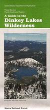
Dinkey Lakes Wilderness Map. Perfect for a day hike reference or extended backpacking adventures. Scale = 2″ to mile; Usually only found at Ranger Stations – Hard to find maps. Printed on paper; Last updated in 1991.

camp


Dinkey Lakes Maps

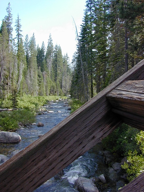
Dinkey Creek @ Dinkey Bridge

NatGeo Map #810 Shaver Lake

Shaver Lake Camping
National Geographic Shaver Lake Map

snowmoNational Geographic Map #810; Shaver Lake Map, Huntington Lake, Sierra National Forest maps from National Geographic. 4×4 routes around the central Sierra Nevada. Dinkey Lakes Wilderness, Kaiser Wilderness, Rancheria Falls, Black Point, Lewis Creek Tamarack Creek, Red Mountain, Red Lake, Sierra Vista Scenic Byway, Sierra Heritage Scenic Byway. Hiking, mountain biking, horse back & OHV trails. Lake trails, wilderness trail, loop trail, lake campgrounds. Two sides, waterproof & tear resistant. Map Scale 1:63,360 / 1 inch = 1 mile. ISBN# 9781566952422
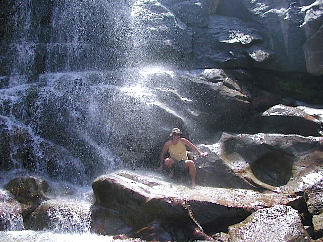
Dinkey Lakes Maps

rancheria falls