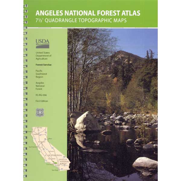
Angeles Forest Topo Atlas
Angeles Crest Map / Angeles National Forest
The ANGELES FOREST atlas, is a spiral bound book – a collection of all the quads. (7½ minute topographical maps, of all of Angeles back country) This book map has detailed topo lines, mountain peaks, streams, lakes, hiking trails & back roads. Perfect for all kinds of recreational needs. Published in 2018. ISBN# 9781628114317
Angeles Forest Topo Map / Angeles Forest Camping / Angeles Crest Hiking Trails / Mountain Bike Routes
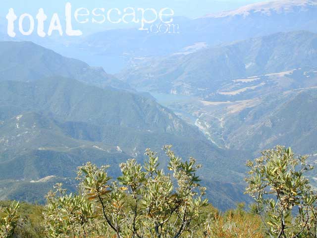
Piru Lake, as seen from Whitaker Peak (4148′ elev)

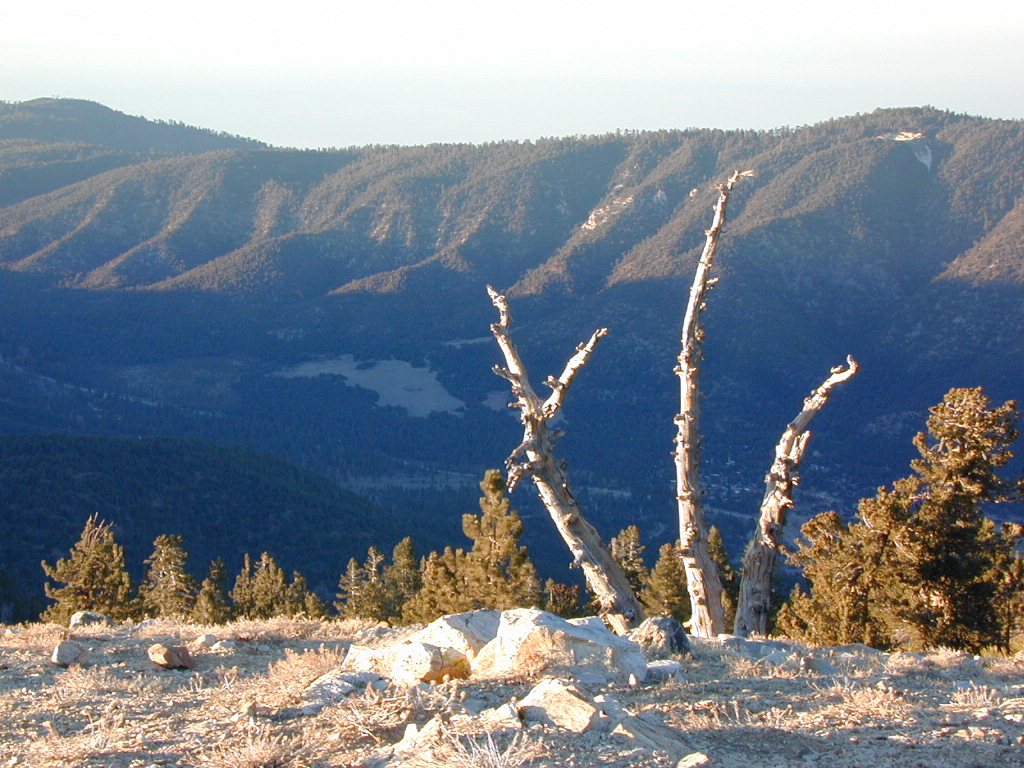
Angeles National Forest QUADS:
from south to north –
- Cucamonga Peak
- Mount Baldy
- Glendora
- Azusa
- Mount Wilson
- Pasadena
- Telegraph Peak
- Mount San Antonio
- Crystal Lake
- Waterman Mountain
- Chilao Flat
- Condor Peak
- Sunland
- San Fernando
- Phelan
- Mescal Creek
- Valyermo
- Juniper Hills
- Pacifico Mountain
- Acton
- Agua Dulce
- Mint Canyon
- Newhall
- Val Verde
- Piru
- Sleepy Valley
- Green Valley
- Warn Springs Mountain
- Whitaker Peak
- Cobblestone Mountain
- Del Sur
- Lake Hughes
- Burnt Peak
- Liebre Mountain
- Black Mountain
- Fairmont Butte
- Neenach School
- La Liebre Ranch
- Lebec
- Tylerhorse Canyon

see also –
Angeles National Forest Map
Angeles Map by NatGeo
Angeles Front Country Map
Angeles High Country Map
Angeles Hiking Books
PCT Map #2 Angeles
San Gabriel Mountains Map
Mount Wilson Map
Mount Baldy Map
Cucamonga Wilderness Map


 Excellent mountain biking trails on