Bodie Hills Map

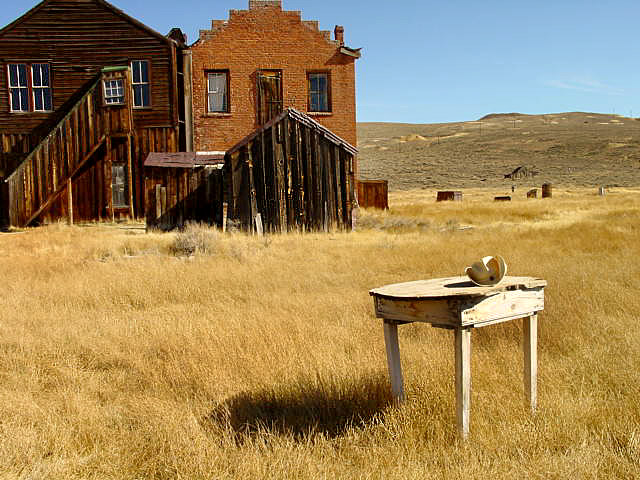
Bodie Ghost Town California

Bodie Hills MapBodie State Historic Park
Aurora Canyon

Eastern Sierra Nevada area near Bridgeport, California

HIGH DESERT –
8375′ elevation

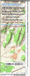
This Bodie map is authentic. Created and produced by none other than Tom Harrison, a legend in the field California cartography. No other map creator makes a detailed topographic map of Bodie Ghost Town, State Park and desert region.

Bodie Hills Map

Bodie Ghost Town Map

Tom Harrison Trail Map: Bodie Ghost Town CA, Bodie State Historic Park, State Park Bodie, BLM Bodie Hills, Back Roads Bridgeport California, Mining Desert High Country Map, 4×4 roads, Aurora Canyon, Aurora Nevada, Bodie Hiking Map, Backpacking Maps. Travertine Hot Springs, Geiger Grade, Bodie State Park, NV Desert Mountains, Bridgeport Hiking Maps. Durable, waterproof plastic map; Folded. Map Scale: 63K; ISBN#9780981834412
Bodie Map

OLD VERSION

avenza mapsdownload digital version of this map –
Bodie Hills Topo Map
Bodie Hills Map

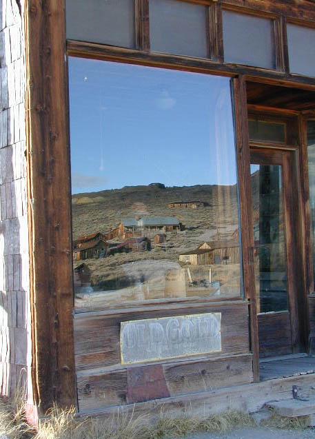
Bodie Ghost Town is the most popular & best preserved historic mining camp in California. Winter months are cold, windy, and often snowy. Late summers can get hot. Plan accordingly.

No services, no pavement, no big trees. Very remote location. Abundant free, boondocking camps in this high desert region, so make sure to get a camp fire permit from the local ranger station in Lee Vining or Bridgeport, CA

Bodie Hills Map

Photo by Morris Neer

nearby destinations:

Bodie Hills Map

Photo by Morris Neer

see also – 

Toiyabe National Forest Map
Hoover Wilderness Trail Map


Ishi Wilderness Map

Ishi Hiking Map

Ishi Wilderness Map

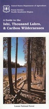
This Northern California map issued by the USDA National Forest includes 3 separate wilderness areas –

Ishi @ Cohassett / Chico Hikes / Lassen Maps

Caribou Wilderness, Ishi Wilderness & Thousand Lakes Wilderness

Lassen National Forest

Three different NorCal wilderness areas: Caribou Wilderness, Ishi Wilderness, Thousand Lakes Wilderness are all featured on this USDA topo map. Perfect for a day hike reference or extended backpacking adventures. Map Scale = 1″ to mile; Printed on paper.

Ishi Wilderness Map

towns nearby:

downhill from a volcano, Lassen Peak

This mountain foothill land is etched by wind and water, and dotted with basalt outcroppings, caves, and unusual pillar lava formations. The land is a series of east-west running ridges framed by rugged river canyons, with the highest ridges attaining elevations of 4000′. Deer Creek and Mill Creek are the principal drainage and flow into the Sacramento River.

oak forestsThe sun-baked south slopes are covered with chaparral brush. Pines and oaks thrive on the moister slopes facing north and lush damp forests line the river banks. This area is home to pine clusters, dense areas of ponderosa pine growing on terraces in river cut canyons.

Oh Deer! The largest migratory deer herd in California, the Tehama deer herd, winters in this Ishi wilderness area. In addition, wild hogs, mountain lions, black bears, coyotes, bobcats and jack rabbits also live out here. A State Game Refuge, where hunting is not permitted, occupies most of the Ishi Wilderness.

However, special fishing regulations are in effect for fishing in Deer and Mill Creeks, home to many fish species. And of course, a valid California fishing license is required.

A variety of raptors including hawks, eagles, falcons, and owls nest in the rock cliffs. Wild turkey, quail, mourning doves, canyon wrens, band-tailed pigeons, bats and many songbirds are frequently seen.

Ishi Wilderness Map

see also – 

Lassen Books
Lassen Forest Topo Atlas
Lassen National Forest Map USDA
Lassen Park Maps
Bucks Lake Wilderness Map
Fishing Maps

Gold Country Books

The Gold Rush of California

california independentThe largest migration in world history, of Overland pioneers traversing the continent on foot with wagons and horses, took place right here – beginning in 1848. The discovery of the precious metal gold, that set this rolling, was centered around the western Sierra rivers and mountains of California. The migration west began much earlier, but it increased dramatically after the news spread.

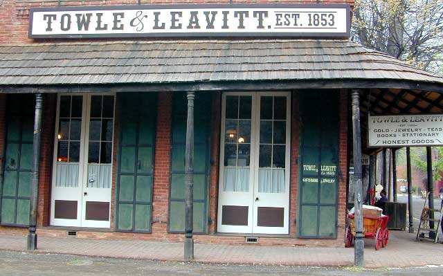
Gold Country Books can relate the historic details of yesteryear.

Within only a decade the entire West Coast was transformed into a developed landscape, with people coming from all over the world to stake out their claims, dreaming of fortunes or simply, just to find work and create a new life. Hence, California became a U.S. state in 1850. Consequently, the railroads followed soon after.

Find Gold Country Maps

Gold Rush Map Books

Columbia State Historic Park, California

California’s Gold Country Books

Gold Country Books

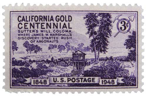
Coloma Gold Centennial Stamp 1948

Our Favorites on California History

Little did I know what pleasure reading California historical books would bring me in my middle years of life. Transport yourself to the dusty trails and hardships of Overland pioneer life, or imagine a two year journey sailing around the bottom of South America to reach this desolate coast in the early 1800’s. Read these books below to get a glimpse into an Old California story. One you can only dream about, knowing what has become of it today.

Gold Country Books

Gold Country Goofballs in Auburn, CA