Tom Harrison Yosemite Maps

Yosemite Trail Maps
by Tom Harrison

Tom Harrison Yosemite Maps

Compact, waterproof, topographic maps for Yosemite National Park and surrounding high country. High Sierra, backcountry. Backpack, horse pack, trailheads, camps, mountain climbing every day!

Central Sierra Nevada mountains.
Tioga Pass = 9943′ elevation

Tom Harrison Yosemite Maps

Yosemite NP overview map –
Yosemite National Park Map
by Tom Harrison Maps

Tom Harrison Recreation Map

Yosemite National Park Map, Topo Map Yosemite Parks Trails, Hiking Trails Yosemite overview Map; GPS compatible, UTM grid; Shaded relief topo map. Durable, waterproof plastic map; Compact and folded. Map Scale: 125K; ISBN# 9781877689505


Tom Harrison Yosemite Maps

Yosemite Valley Trails Map

Tom Harrison Yosemite Maps

Waterfalls & Half Dome Hiking Trail Map

Tom Harrison Yosemite Maps

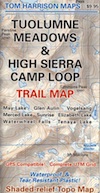
Tuolumne Meadows & High Sierra Camps
(OUTTA PRINT)

Tom Harrison Yosemite Maps

Yosemite High Country Trail Map
(OUTTA PRINT)

Tom Harrison Yosemite Maps

see also –

NatGeo Yosemite Maps
Ansel Adams Wilderness
Hoover Wilderness Trail Map
John Muir Wilderness Maps

Tom Harrison Yosemite Maps

Wawona Map

NatGeo Map #306
Yosemite SW – Wawona & Yosemite Valley

Yosemite Southwest Map

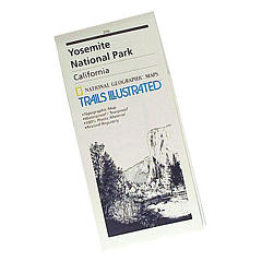
Wawona Map – CA Highway 41: NatGeo Trails Illustrated Yosemite SW, Wawona Map #306. Yosemite Valley, Half Dome, Vernal Fall, Glacier Point, Tamarack Flat, Mariposa Grove, Chilnualna Falls, White Wolf, Merced River, Bridalveil Fall, Chowchilla Mountains, El Capitan, Illilouette Falls, Lower Yosemite Fall, Nevada Fall, Ribbon Fall, Sierra National Forest, Silver Strand Falls, Stanislaus National Forest, Upper Yosemite Falls. Yosemite South Entrance @ California SR 41

1:40,000 scale; GPS Compatible, Full UTM Grid. 2 sided. Waterproof map. ISBN# 9781566953627

Yosemite National Park


Wawona Map

Wawona Map

Valley Oaks in Yosemite NP

Wawona Map

OLDER EDITION

nearby destinations –hikers map

see also –
All NatGeo Yosemite Maps

Bass Lake Topo Map

Bass Lake Topo Map

Half Dome Hiking Map

Half Dome Hiking Map

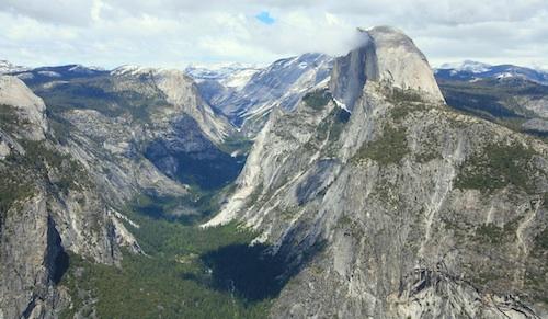
Half Dome view from Glacier Point (photo SKIP JONES)

Half Dome Trail Map

Hiking to Half Dome is very long day trip, on foot, uphill half the way, with excessive elevation gain and loss. Leave toward the trailhead before day break and get back after sundown. No kidding: 17 miles round trip. You must be in excellent shape to tackle this trail, as it involves discipline and strength. Super scenic waterfalls and viewpoints all along the way. Some prefer to do an overnight trek w/ backpack, food and permits.

Half Dome Hiking Map
Tom Harrison Maps
Half Dome Hiking Map

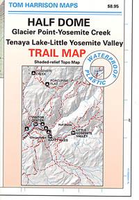
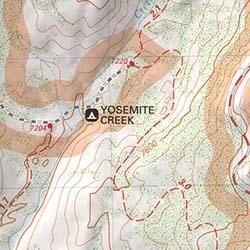
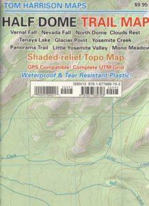
Hike Half Dome Yosemite Trails, Backpacking Yosemite National Park, Climbing Half Dome, Yosemite Day Hikes, Backpacking Maps; Areas include: Glacier Point Hike, Yosemite Creek, Yosemite Falls, Tenaya Lake, Yosemite Valley, Vernal Falls, Nevada Falls, North Dome, Clouds Rest, Teneya Lake, Yosemite Creek, Panorama Trail, Mono Meadow, Little Yosemite Valley.

Durable, waterproof plastic map; Folded. Map Scale: 31.7K; ISBN# 9781877689703

avenza mapsdownload digital version of this map –
Half Dome Hiking Map
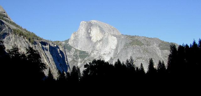
Half Dome Yosemite

Yosemite National Park

The geology of the Yosemite area is characterized by granitic rocks and remnants of older rock. About 10 million years ago, the Sierra Nevada was uplifted and then tilted to form its relatively gentle western slopes and the more dramatic eastern slopes. The uplift increased the steepness of stream and river beds, resulting in the formation of deep, narrow canyons. About one million years ago, snow and ice accumulated, forming glaciers at the higher alpine meadows that moved down the river valleys. Ice thickness in Yosemite Valley may have reached 4,000 feet during the early glacial episode. The downslope movement of the ice masses cut and sculpted the U-shaped valley that attracts so many visitors to its scenic vistas today.
Half Dome Hiking Map

OLD MAP HALFDOME

Half Dome Hiking Map

OLDER VERSION

see also –

Yosemite Books
Yosemite Valley Trail Map
All NatGeo Yosemite Maps
All Tom Harrison Yosemite Maps
Half Dome Hiking Map

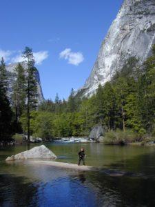
Below Half Dome, Mirror Lake

Outdoor Deaths

Outdoor Deaths

The books below are warnings to all who wish to be enlightened on wilderness skills and reality. Come all clumsy, clueless and naive. Outdoorsman, weekend campers or highway stranded motorists. Learn from true stories on disappearances.

City folks beware, hundreds of people go missing, vanish or die every year in the wild lands of this country. Most disappear inside popular National Parks and numerous State Parks.

If you are indeed interested to discover how easy it is for people to get lost, fall off of a cliff, get injured or attacked, drown, be kidnapped or die in the mountains – then these books may be good reading material.

On foot, by truck or by car, the stories are long and ever detailed, often ending with more questions than answers.

Books on National Park Deaths and other outdoor fatalities

Tales for Cautious Campers

Outdoor Deaths

Outdoor Deaths

Outdoor Deaths

Outdoor Deaths

Outdoor Deaths


Outdoor Deaths

Outdoor Deaths

see also – 

Outdoor Books
Outdoor Gear

State Atlases