Crystal Basin Silver Fork Map

Crystal Basin Map
Crystal Basin & Silver Fork
of Eldorado NF
NatGeo Map # 806

Loon Lake, Central Sierra Nevada Maps

hikers mapTrails Illustrated Map from National Geographic. Crystal Basin / Silver Fork Map inside El Dorado National Forest map #806. 4×4 routes for the Rubicon Trail – all the way to Tahoe. Loon Lake, Union Valley Reservoir, Ice House Reservoir. Auburn State Recreation Area (Auburn SRA) and Carson – Emigrant Historic National Recreation Trail. Pony Express National Historic Recreation Trail.

Mountain bike trails, backpacking routes, equestrian and hiking trail mileage. High country map. Many rivers, roads and trails to explore. 2-sided map. Very detailed & colorful. Waterproof Plastic Map; Tear Resistant. GPS data. Scale = 1:63,360 ISBN#9781566952644
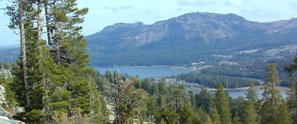
Silver Lake @ Carson Pass

Crystal Basin Silver Fork

The Crystal Basin spreads over 85,000 acres north of Highway 50 and west of Desolation Wilderness. Wonderful views of the Crystal Range extends north along the ridge from prominent Pyramid Peak (9963′ elev), Mount Price, Red Peak, and Silver Peak.

The Crystal Basin Recreation Area is a joint development between the Sacramento Municipal Utility District and the National Forest Service. SMUD operates a series of reservoirs and hydroelectric powerhouses which furnish energy to the Sacramento area.

Plasses

see also –

Carson Iceberg Wilderness Map
Desolation Wilderness Trail Map
Eldorado National Forest Map
Gold Country Maps

Tuolumne Meadows Map

Tuolumne Meadows Map
Tuolumne Trail Map
Tom Harrison

2022: OUTTA PRINT & UNAVAILABLE

HIGH SIERRA CAMP LOOP
Tuolumne climbing. Tuolumne falls. Tuolumne hikes.

Tuolumne Meadows Map

PREVIOUS VERSION

Tuolumne Meadows & Tuolumne River

Yosemite National Park hikes

Tuolumne Meadows Trail Map; Yosemite Tuolumne Mdws Hiking Map. Areas include: High Sierra Camps, May Lake, Vogelsang Camp, Sunrise Camp, Elizabeth Lake, Tenaya Lake, Yosemite Backcountry Highcountry, Waterwheel Falls, Merced Lake, Glen Aulin. Map features the entire High Sierra Camp Loop Trail, and interception of the John Muir Trail and the Pacific Crest Trail.

Topo Yosemite Topo Maps Backpacking Tuolumne High Country, High Sierra Loop Maps; GPS Compatible. Durable, waterproof plastic map; Folded. Map Scale: 42K; ISBN# 9781877689802

Tuolumne Meadows Mapdownload digital version of this map –
Tuolumne Meadows Hiking Map

to Vogelsang

Vogelsang Camp

Vogelsang Camp

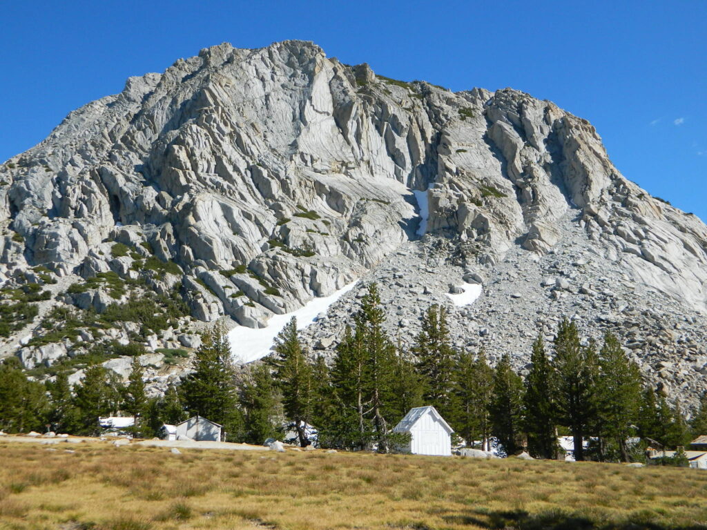
High Sierra Camps at Yosemite National Park are a network of summer tent cabin camps, erected in the wilderness, that are linked by a 50 mile loop hiking trail. The only way to reach these camps is on foot. Call it ‘ultralight backpacking’ cuz you can leave out the tent, stove and half the food. Meals are prepared in kitchens at each camp. Passing alpine lakes, creeks, meadows and granite peaks, the trails cover granite slabs, waterfalls, wildflowers and epic views of the back country. Advance reservations are required.

HSC Loop:

  • Tuolumne Meadows Camp
  • Volgelsang Camp
  • Lake Merced Camp
  • Sunrise Camp
  • May Lake Camp

Hiking Maps

see also –

All Yosemite Maps by Tom Harrison
Half Dome Trail Map
All Yosemite Maps by NatGeo
Ansel Adams Wilderness Maps
John Muir Trail Map 

Baja Map Mexico

Detailed Map of Baja Mexico
Baja California MX

Camping Gonzaga Bay

Camping Gonzaga Bay

2021 – New MAP for Baja!!!

Benchmark Baja California
Road & Recreation Atlas

Baja Map Mexico

Release date MAY 2021 – announcing a brand new atlas for Baja California, created by none-other than Benchmark Maps. 

Baja Map Mexico

National Geographic has Adventure Maps for Baja California

full color, 2 sided, waterproof, tear resistant, topographic maps

NatGeo Baja Map NORTH
(Baja Norte)

This travel map covers from San Diego down to Bay of LA. Norte map covers the US/Mexico border from Tijuana to Mexicali, including border crossings, as well as Ensenada & Tecate. Inset maps give extensive detail to these areas: The southern side shows Valle de los Cirios, Bahia de los Angeles, Native Rock Paintings of the Sierra de San Francisco and Whale Sanctuary of El Vizcaino.

Baja Map Mexico

OLDER VERSION

hiking

NatGeo Baja Map SOUTH
(Baja Sur)

The sparsely populated southern half of the peninsula has some of the Gulf of California Islands. The southern side covers the state capital La Paz, Cabo San Lucas, San Jose del Cabo, and Todos Santos. Inset maps give extensive detail to some of these popular areas.

Baja Map Mexico

OLDER VERSION

hiking

Baja Map Mexico

Dining Out in Baja

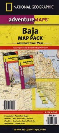
National Geographic Adventure Map Pack
Baja California 2 Map Set

Baja Map Mexico

OLDER EDITION

Baja Map Mexico

La Paz Coast Baja – Sea of Cortez

see also – 

Baja Almanac
Baja California Books

Golden Trout Maps

National Forest MapsNational Forest USDA makes a paper map for the Golden Trout Wilderness which includes the South Sierra Wilderness. Good luck trying to find it; maybe @ ranger stations.
Tom Harrison also offers a hiking trail map for the Golden Trout Wilderness. Extremeline now makes a pretty decent Kern River Recreation Map.

backpacking, camping, climbing, hiking, horseback riding, fishing

  • Jerky Meadow
  • Kern Hot Springs (in the backcountry)
  • Kern River Gorge
  • Upper Kern River

golden trout

Golden Trout Wilderness Map USDA

Official Trail Map for the U.S. National Forest Service. Map scale 1:63,360. Contour lines at 80 foot intervals show elevation. Detailed road network shown. Encompassing 475 square miles in the Sequoia and Inyo National Forests. Map Scale = 1″ to mile; Usually only found at Ranger Stations – Hard to find maps. Perfect for a day hike reference or extended backpacking adventures. Printed on paper in 1995.

driftwood

Golden Trout Trail Map
Tom Harrison Maps

THgoldentrout

OLD VERSION

Golden Trout Wilderness Trail Map, Sequoia National Forest, South Sierra Backpacking Maps, Forks of the Kern River Map, Jerky Meadow Trailhead, Big Whitney Meadow, Kern Peak, Coyote Peaks, Grey Meadow, Little Kern River, Kern Canyon, Jordan Hot Springs, Casa Vieja Meadow, Monache Meadows. Topo Sequoia Camping Kern River; Durable, waterproof plastic map; Folded. Map Scale: 63.4K; ISBN# 9781877689765

driftwood

hikers mapGolden Trout Kern River, Golden Wilderness Trail Map, Sequoia, South Sierra Backpacking Maps, Forks of the Kern River Map, Jerky Meadow Trailhead, Big Whitney Meadow, Kern Peak, Coyote Peaks, Grey Meadow, Little Kern River, Kern Canyon, Jordan Hot Springs, Casa Vieja Meadow, Monache Meadows. Topo Sequoia Camping Kern River

Golden Trout Maps

Jerky Meadows Rd is Route #22S82

Extremeline Productions

horse trail mapsExtremeline also makes a Kern River Recreation Map which covers the Golden Trout trailheads, plus the whole Kern River Canyon area.

see also – fishing map

South Sierra Wilderness Map 
Sequoia National Forest Map
Sequoia Forest Topo Atlas
Sequoia Kings National Park Maps
Inyo National Forest Map 
Inyo Forest Topo Atlas