Shaver Lake
Sierra NF NatGeo Map #810
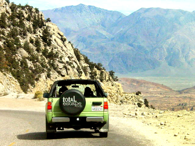
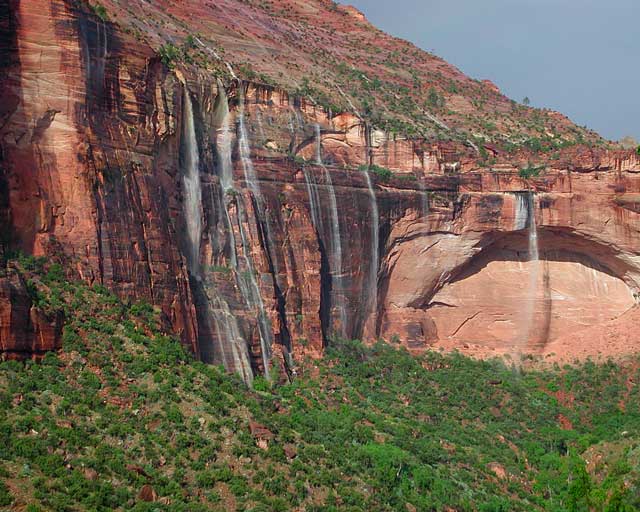
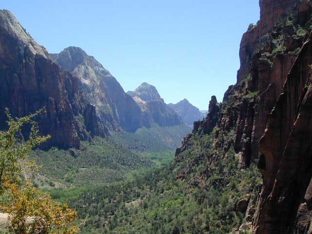
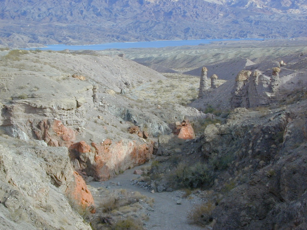
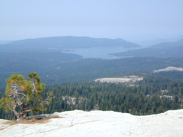
Shaver Lake is located in the Central Sierra, on the west side of the range, way up above Fresno, CA. Numerous alpine lakes and wilderness trailheads can be accessed via Highway 168 and the side route of Dinkey Creek Road. They even have a Sequoia Grove up here!

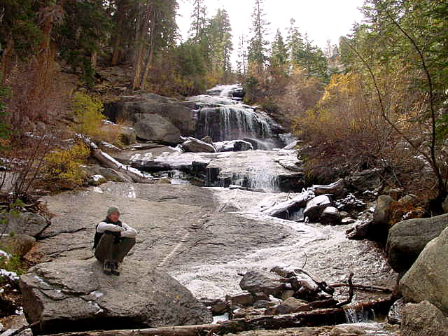
Shaver Lake Map, Huntington Lake, Sierra National Forest maps from National Geographic. 4×4 routes around the central Sierra Nevada. Dinkey Lakes Wilderness, Kaiser Wilderness, Rancheria Falls, Black Point, Lewis Creek Tamarack Creek, Red Mountain, Red Lake, Sierra Vista Scenic Byway, Sierra Heritage Scenic Byway. Hiking, mountain biking, horse back & OHV trails. Lake trails, wilderness trail, loop trail, lake campgrounds. Two sides, waterproof & tear resistant. National Geographic Map #810; Scale 1:63,360 / 1 inch = 1 mile. ISBN# 9781566952422

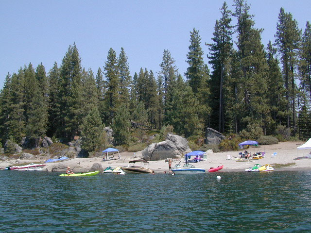
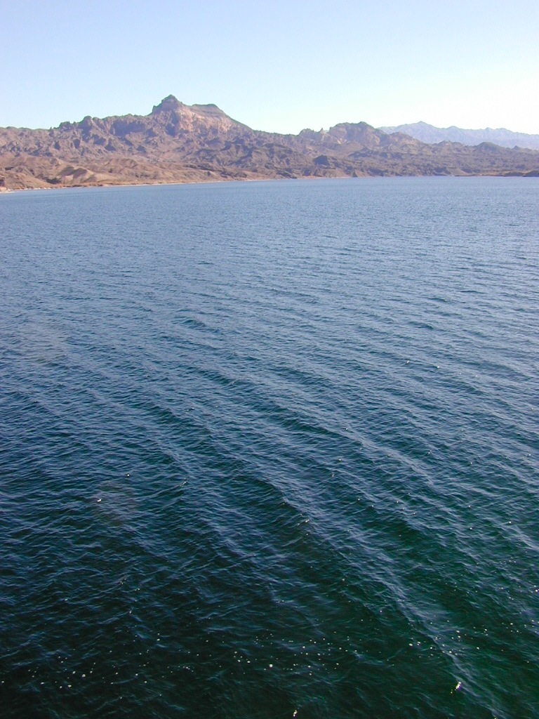
Shaver Beaches

see also –
Dinkey Lakes Maps
Kaiser Wilderness Map
Mono Divide Trail Map
Sierra National Forest Maps
Sierra Forest Topo Atlas
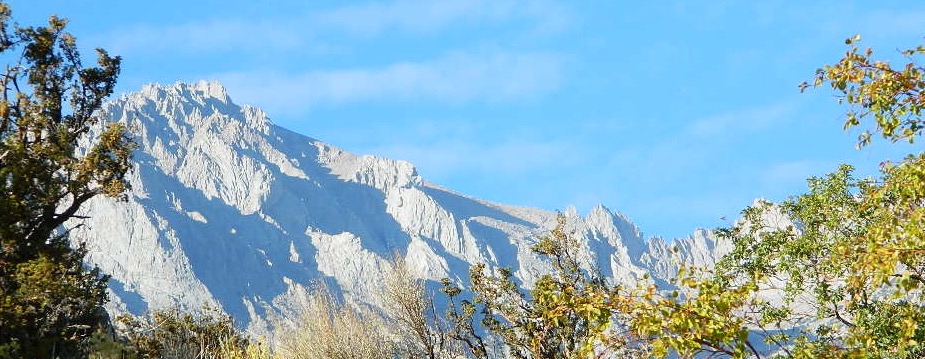
Bald Mountain Views
Wildfire has recently ravaged about half of this National Forest, from Shaver Lake to Mammoth Pool Reservoir; Kaiser Wilderness, San Joaquin River, Huntington Lake, all the way out to Lake Edison. Many areas could be closed to logging and fire cleanup. Check with USFS for specifics.
Creek Fire 2020
nearby locations –
- Clovis, CA
- Courtright Reservoir
- Coyote Lake 4×4
- Dinkey Creek
- Dinkey Lakes Wilderness
- Edison Lake
- Florence Lake

- Fresno, CA
- Lakeshore, CA
- Huntington Lake
- Kaiser Wilderness
- Mammoth Pool Reservoir
- Maxson Trailhead
- McKinley Sequoia Grove
- Mono Hot Springs

- Pine Flat Reservoir
- Red Lake 4×4
- San Joaquin River
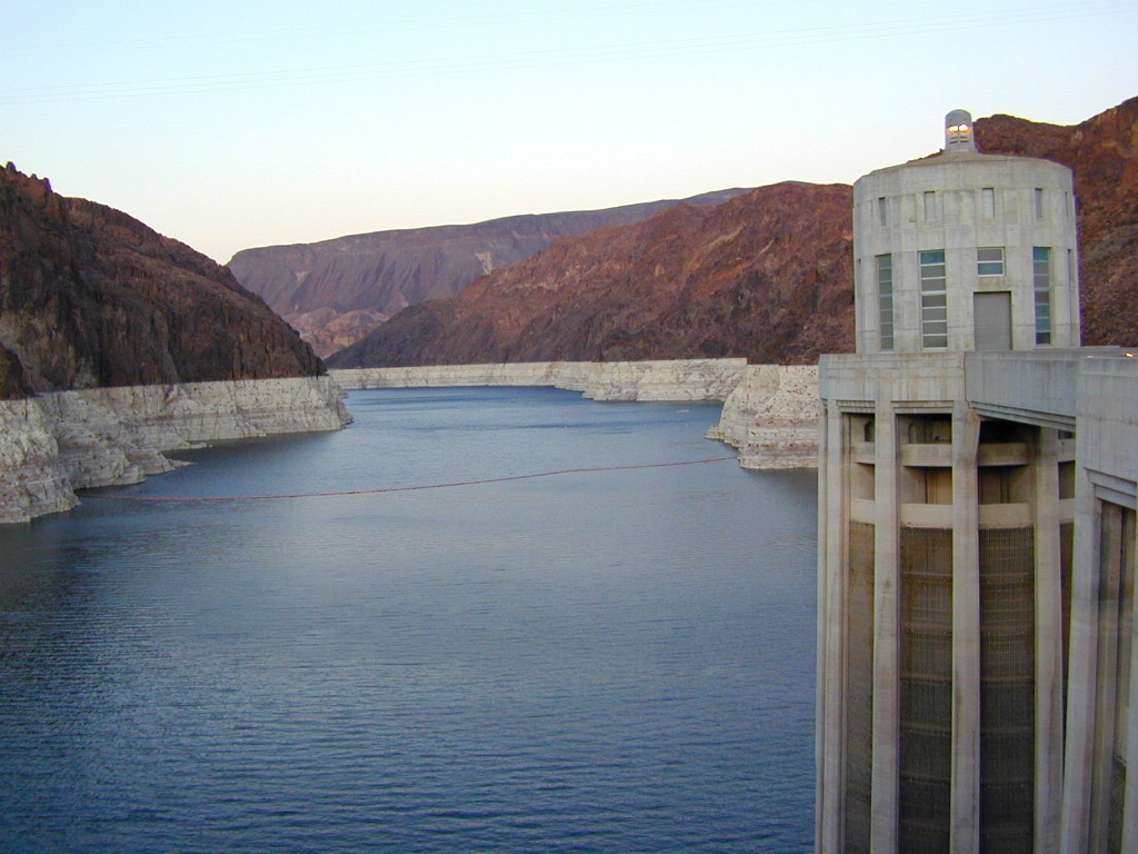
- Shaver Lake
- Tollhouse, CA
- Ward Lake
- Wishon Reservoir