Golden Trout Wilderness Trail Map

Golden Trout Trail Map

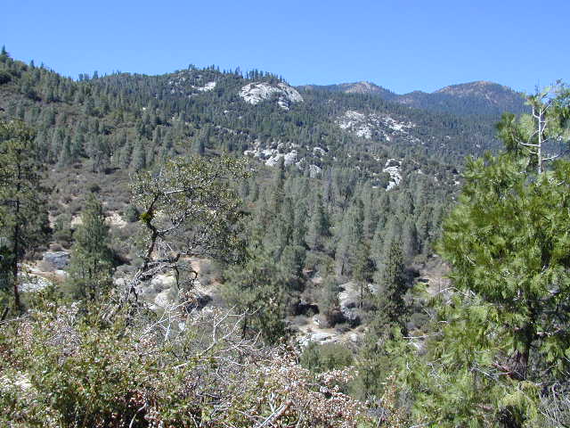
Golden Trout Wilderness is located above the Upper Kern River Gorge, in between the Sequoia National Forest and the Eastern Sierra peaks, on the Inyo National Forest. The northern most trailheads can be accessed through Mountain Home State Forest and also Mineral King Canyon inside Sequoia National Park

Southern trailheads are located at:

driftwood

Golden Trout Trail Map
Tom Harrison Maps
Golden Trout Trail Map

OLD VERSION

Golden Trout Wilderness Trail Map, Sequoia National Forest, South Sierra Backpacking Maps, Forks of the Kern River Map, Jerky Meadow Trailhead, Big Whitney Meadow, Kern Peak, Coyote Peaks, Grey Meadow, Little Kern River, Kern Canyon, Jordan Hot Springs, Casa Vieja Meadow, Monache Meadows. Topo Sequoia Camping Kern River; Durable, waterproof plastic map; Folded. Map Scale: 63.4K; ISBN# 9781877689765

digital mapsdownload digital version of this map
Golden Trout Wilderness Map

Golden Trout Trail Map

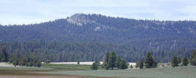
Bake Oven Dunes, near Monache Meadows

Kern Hot Springs. Golden Trout Kern River, Golden Wilderness Trail Map, Sequoia, South Sierra Backpacking Maps, Forks of the Kern River Map, Jerky Meadow Trailhead, Big Whitney Meadow, Kern Peak, Coyote Peaks, Grey Meadow, Little Kern River, Kern Canyon, Jordan Hot Springs, Casa Vieja Meadow, and Monache Meadows: which is wonderful camping, hiking and fishing the South fork of the Kern River. 4×4 recommended to access Monache!

Golden Trout Trail Map

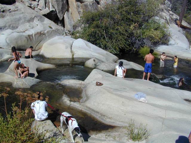
Granite Pools, moderate hiking distance from Camp 4 on Rd# 22S82

Forks of the Kern

Lloyds Meadow Road is a paved access road – N of Johnsondale, approximately 30+ miles north of Kernville, CA. Sequoia Forest Road #22S82 is also called Jerky Meadows Road and Lloyds Meadow Road; leads north paralleling the Kern River Gorge. This canyon area lies east of and below Dome Rock and Needles, located on the Western Divide Hwy. One developed NFS campground, Lower Peppermint Campground, is situated along Forest Route 22S82. (open seasonally June-November)

There are also dispersed camping areas located on the opposite side of the street, Camp#2, Camp#3, Camp#3, Camp#4, a few of which are RV accessible. Others may require a high clearance vehicle or 4WD to access the most secluded camps. Horse camping is popular along this route as well.hikers map

The paved access road 22S82 dead-ends at the Jerky Meadow trailhead and parking lot. Horse packing, fishing trails and backpacking.

recent wildfires in this area:

Windy Fire 2021
Castle Fire / SQF Complex 2020
McNally Fire 2002
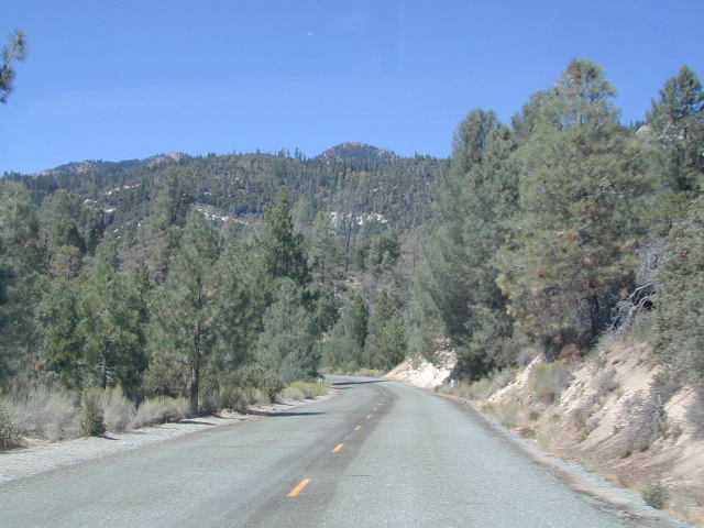
Jerky Meadows Rd

Jerky Meadows Rd is NF Route #22S82

horse trail maps

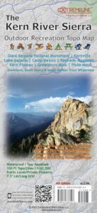
Golden Trout Topo Map

Golden Trout Kern River access on NF Rd #22S82

fishing map Golden Trout Trails

Kern River Map

Dinkey Lakes Wilderness Map

Dinkey Lakes Map

Dinkey Wilderness

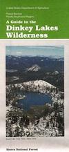
Dinkey Wilderness Map USDA

currently unavailable on Amazon. may be available at local ranger stations

Dinkey Lakes Wilderness Map / Dinkey Lakes Trails / Dinkey Creek Camping

Dinkey Creek and the hike-in only, wilderness lakes are part of a bigger Sierra National Forest

hikerPerfect for a day hike reference or extended backpacking adventures. Scale = 2″ to mile; Usually only found at Ranger Stations – Hard to find maps. Printed on paper; Last updated in 1991.

see also –

Dinkey Lakes Wilderness Trail Map by Tom Harrison

dinkey map

CREEK FIRE 2020: Much of the Sierra National Forest was badly burned in a recent wildfire, but this Dinkey Creek area was spared. The huge fire moved the other direction – from Shaver Lake north and then eastward.

That means this Dinkey Creek Area may become more popular, along with high elevation lakes – Courtright and Wishon Reservoirs – now that this the only unburnt region around.

At least the nearby Sequoia trees in the McKinley Grove didn’t go up in flames.

NOTE: Much of the Sierra National Forest may be closed to the public (for years) due to forest hazards, loggers working, and general fire cleanup. Contact the local USFS Ranger station at Tollhouse to find out what areas are indeed open.

Dinkey Lake Wilderness

Minimal Snow, Maximum Mud

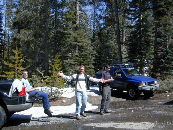
4×4 Fun – Minimal Snow, Maximum Mud


Shaver Lake Map

Shaver Lake
Sierra NF NatGeo Map #810

Shaver Lake is located in the Central Sierra, on the west side of the range, way up above Fresno, CA. Numerous alpine lakes and wilderness trailheads can be accessed via Highway 168 and the side route of Dinkey Creek Road. They even have a Sequoia Grove up here!

Shaver Lake Map, Huntington Lake, Sierra National Forest maps from National Geographic. 4×4 routes around the central Sierra Nevada. Dinkey Lakes Wilderness, Kaiser Wilderness, Rancheria Falls, Black Point, Lewis Creek Tamarack Creek, Red Mountain, Red Lake, Sierra Vista Scenic Byway, Sierra Heritage Scenic Byway. Hiking, mountain biking, horse back & OHV trails. Lake trails, wilderness trail, loop trail, lake campgrounds. Two sides, waterproof & tear resistant. National Geographic Map #810; Scale 1:63,360 / 1 inch = 1 mile. ISBN# 9781566952422

Shaver Lake Map

Shaver lake map

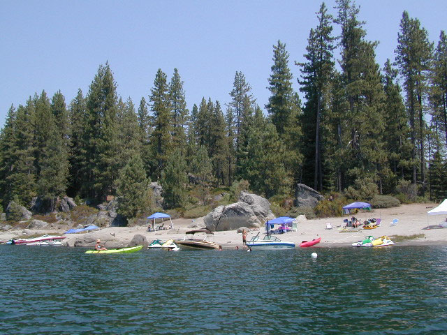
Shaver Beaches

Shaver Lake Map

see also –
Dinkey Lakes Maps
Kaiser Wilderness Map
Mono Divide Trail Map
Sierra National Forest Maps
Sierra Forest Topo Atlas

Shaver Lake Map

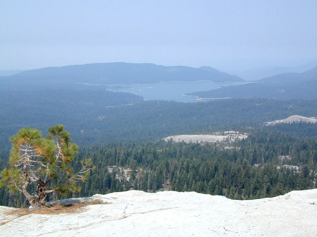
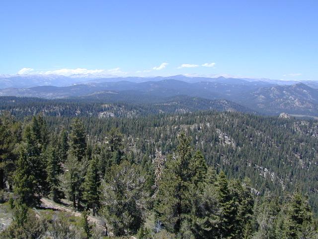
Bald Mountain Views

Wildfire has recently ravaged about half of this National Forest, from Shaver Lake to Mammoth Pool Reservoir; Kaiser Wilderness, San Joaquin River, Huntington Lake, all the way out to Lake Edison. Many areas could be closed to logging and fire cleanup. Check with USFS for specifics.
Creek Fire 2020

nearby locations –4x4 maps

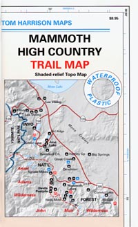
Mammoth High Country Map

Mammoth Mountain California

Mammoth High Country Map
Tom Harrison

Tom Harrison Maps: Mammoth Trail Map, Ansel Adams Wilderness, Eastern Sierra Nevada; Areas include: Hiking Minarets, June Lake, Lee Vining, Ritter Range, Convict Lake, Devils Postpile, Mono Craters, Mono Lake Volcanic, Thousand Island Lake, Mammoth Lakes, Agnew Meadows.

Recreation Map; Durable, waterproof plastic map; Folded. Map Scale: 63K; ISBN# 9781877689567

avenza mapsdownload digital version of this map –
Mammoth High Country Map

Mammoth High Country Map

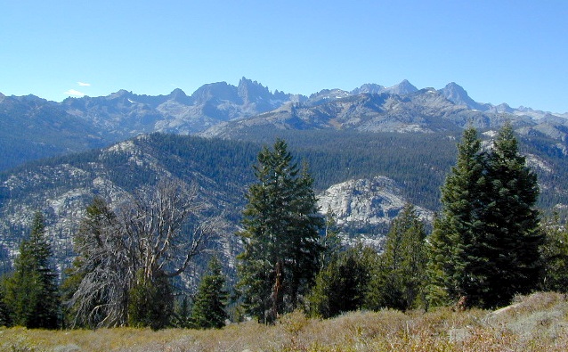
The Minarets @ Mammoth

Mammoth Mountain is a lava dome complex in Mono County, California. It lies in the southwestern corner of the Long Valley Caldera and consists of about 12 rhyodacite and dacite overlapping domes. These domes formed in a long series of eruptions from 110,000 to 57,000 years ago, building a volcano that reaches 11,059 feet in elevation. During this time, massive dacite eruptions occurred roughly every 5000 years. The volcano is still active with minor eruptions, the largest of which was a minor steam eruption 700 years ago.

Mammoth Mountain also lies on the south end of the Mono-Inyo chain of volcanic craters. The magma source for Mammoth Mountain is distinct from those of both the Long Valley Caldera and the Inyo Craters. Mammoth Mountain is composed primarily of dacite and rhyolite, part of which has been altered by hydrothermal activity from fumaroles (steam vents).

nearby destinations:

see also –
Ansel Adams Wilderness Map
Devils Postpile Trail Map
Mammoth Lakes Map NatGeo
Mono Divide Highcountry Map

Mammoth High Country Map

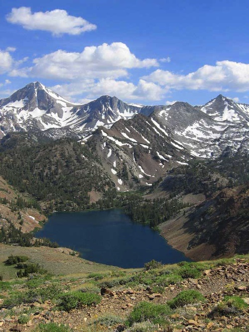
Lake Genevieve

Mammoth High Country Map

PREVIOUS EDITION MAP

Mammoth High Country Map

OLDER MAMMOTH MAP