Wawona Map

NatGeo Map #306
Yosemite SW – Wawona & Yosemite Valley

Yosemite Southwest Map

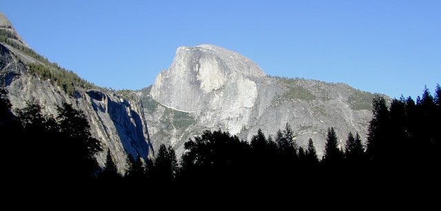
Wawona Map – CA Highway 41: NatGeo Trails Illustrated Yosemite SW, Wawona Map #306. Yosemite Valley, Half Dome, Vernal Fall, Glacier Point, Tamarack Flat, Mariposa Grove, Chilnualna Falls, White Wolf, Merced River, Bridalveil Fall, Chowchilla Mountains, El Capitan, Illilouette Falls, Lower Yosemite Fall, Nevada Fall, Ribbon Fall, Sierra National Forest, Silver Strand Falls, Stanislaus National Forest, Upper Yosemite Falls. Yosemite South Entrance @ California SR 41

1:40,000 scale; GPS Compatible, Full UTM Grid. 2 sided. Waterproof map. ISBN# 9781566953627

Yosemite National Park


Wawona Map

Wawona Map

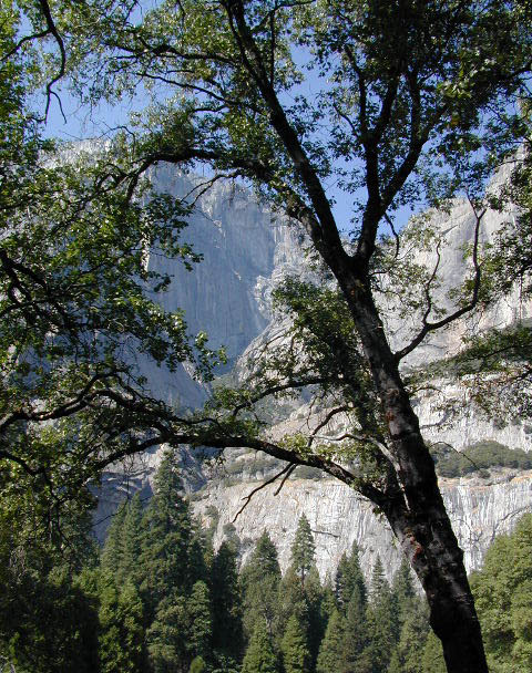
Valley Oaks in Yosemite NP

Wawona Map

OLDER EDITION

nearby destinations –hikers map

see also –
All NatGeo Yosemite Maps

Bass Lake Topo Map

Bass Lake Topo Map

Shaver Lake Map

Shaver Lake
Sierra NF NatGeo Map #810

Shaver Lake is located in the Central Sierra, on the west side of the range, way up above Fresno, CA. Numerous alpine lakes and wilderness trailheads can be accessed via Highway 168 and the side route of Dinkey Creek Road. They even have a Sequoia Grove up here!

Shaver Lake Map, Huntington Lake, Sierra National Forest maps from National Geographic. 4×4 routes around the central Sierra Nevada. Dinkey Lakes Wilderness, Kaiser Wilderness, Rancheria Falls, Black Point, Lewis Creek Tamarack Creek, Red Mountain, Red Lake, Sierra Vista Scenic Byway, Sierra Heritage Scenic Byway. Hiking, mountain biking, horse back & OHV trails. Lake trails, wilderness trail, loop trail, lake campgrounds. Two sides, waterproof & tear resistant. National Geographic Map #810; Scale 1:63,360 / 1 inch = 1 mile. ISBN# 9781566952422

Shaver Lake Map

Shaver lake map

Shaver Beaches

Shaver Lake Map

see also –
Dinkey Lakes Maps
Kaiser Wilderness Map
Mono Divide Trail Map
Sierra National Forest Maps
Sierra Forest Topo Atlas

Shaver Lake Map

Bald Mountain Views

Wildfire has recently ravaged about half of this National Forest, from Shaver Lake to Mammoth Pool Reservoir; Kaiser Wilderness, San Joaquin River, Huntington Lake, all the way out to Lake Edison. Many areas could be closed to logging and fire cleanup. Check with USFS for specifics.
Creek Fire 2020

nearby locations –4x4 maps