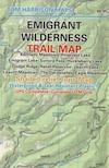
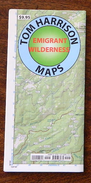
Find Emigrant Wilderness Trail Maps
Emigrant Wilderness, Emigrant Trail, Sierra Nevada
Emigrant Wilderness Books


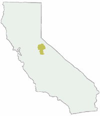
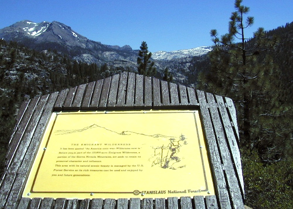
California’s Emigrant Wilderness is bordered by Yosemite National Park on the south, the Toiyabe National Forest and the Hoover Wilderness on the east, and Highway 108 over Sonora Pass on the north. It is an elongated area that extends northeast about 25 miles in length and up to 15 miles in width. Watersheds drain to the Stanislaus and Tuolumne Rivers. This area is entirely within Tuolumne County, California and is 50 miles south of Lake Tahoe.
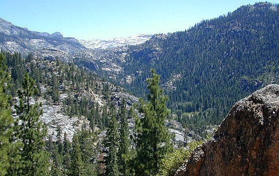
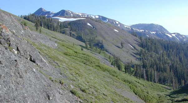
The Emigrant Wilderness is a glaciated landscape of scenic beauty. The northeastern third of the Wilderness is dominated by volcanic ridges and peaks; the remaining areas consist of many sparsely vegetated, granitic ridges interspersed with numerous lakes and meadows.
Elevations range from below 5,000 feet near Cherry Reservoir to 11,570 feet at Leavitt Peak, but the elevation range of most popular areas is 7,500 to 9,000 feet. Precipitation averages 50 inches annually, 80% of it in the form of snow. Snowpacks typically linger into June, sometimes later following very wet winters. Summers are generally dry and mild, but afternoon thundershowers occur periodically and nighttime temperatures could dip below freezing anytime.
From Sonora Pass in the north, the Pacific Crest Trail follows a scenic route at the east edge of the Emigrant Wilderness along the high ridge past Leavitt Peak, turns further east from Kennedy Canyon to Bond Pass, and then heads south down Jack Main Canyon.
Many other trails criss-cross the Emigrant Wilderness, from Leavitt Meadow on the East side, Kennedy Meadow on the West side, and other trailheads. Highlights include cliffs in the Granite Dome area and lakes such as Emigrant Lake, Huckleberry Lake, and Lake Lertoria.
Following the discovery of gold in 1848, large numbers of miners and settlers came to the Sierra and the native cultures quickly declined. In September–October 1852, the Clark-Skidmore party became the first emigrant group to travel the West Walker route over Emigrant Pass, continuing through a portion of the present-day Emigrant Wilderness. Several more emigrant parties were enticed by officials from Sonora to use this route in 1853, but it was a very difficult passage with many hardships and was soon abandoned.

see also –
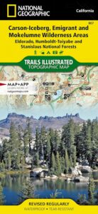
Carson Iceberg, Emigrant, Mokelumne Map
Merced & Tuolumne Rivers Map
Stanislaus Forest Atlas
Toiyabe National Forest Map
Yosemite Books
Yosemite Maps by NatGeo
Yosemite Trail Maps by Tom Harrison