NFS – USDA – U.S. Forest Service
Sequoia National Forest Map
Kern River Canyon, Upper Kern, Lower Kern, Kern Plateau, Western Divide Highway, The Needles, Mountain Home SF, Sequoia National Park, Kings Canyon NP
River Raft Launch Spots, All Creeks, Peaks, Elevations, 4WD & every dirt Back Road, Hot Springs, Equestrian Areas, all Campgrounds, Hiking Trails & Backpacking Trailheads.
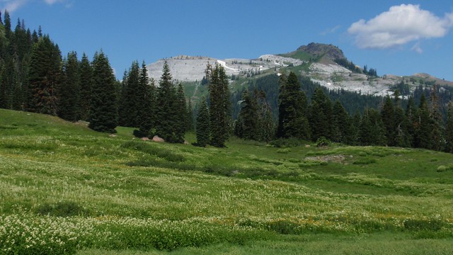
Areas include: Southern Sierra, Giant Sequoia, Western Divide Highway, Kern Canyon, Hwy. 178, Walker Pass, Kernville, Lake Isabella, Sugarloaf, Domelands, Kern River, Kennedy Mdws, Sherman’s Pass, Monache Mdws, South Sierras, Rincon, Canebrake, Dome Rock, The Needles, Western Divide, Ponderosa, Springville, Tule River, Jennie Lakes Wilderness, Golden Trout Wilderness, surrounding areas to Kings Canyon & Sequoia National Park, Miracle, Democrat, California Hot Springs.
Map Size: 28″x 54″ overall / 4″x9″ folded; Printed on waterproof plastic in 2011. ISBN# 9781593515096
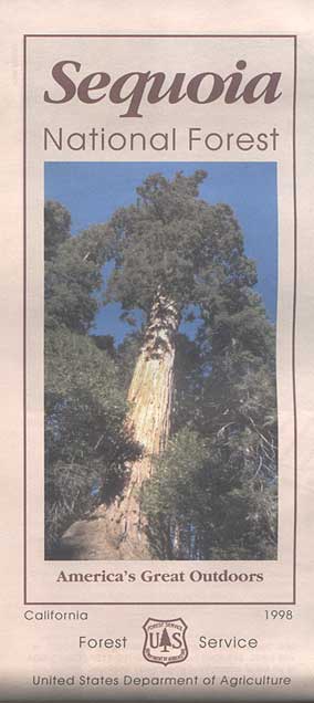
1998 Sequoia NF Map
Sequoia National Forest Maps
previous versions of this map:
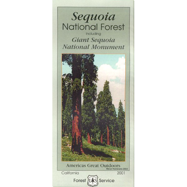
2001 Giant Sequoia Map USDA
see also –
Sequoia Forest Topo Atlas
Sequoia National Park Maps
Mineral King Map
Dome Land Wilderness Map
Southern Sierra Wilderness Map
Golden Trout Wilderness Maps
Kern Recreation Map
Best Kern River Camping, Western Divide Giant Sequoia, Southern Sierra Nevada Mountains
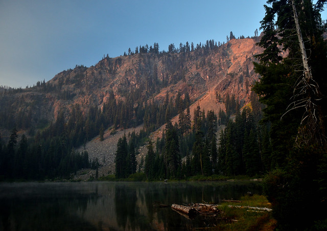
2022: Recent wildfires have taken a huge toll on the Sequoia groves of the Western Divide (Southern Sierra) and ancient groves inside the National Parks (Central Sierra). Forests all around Alta Sierra, California were burnt, as well as the paved route to Jerky Meadows. Campgrounds could be closed, dirt roads gated and locked; hiking trails off limits. Visit the Sequoia National Forest web site for up-to-date info regarding closures.

Sequoia & Kern River Links
Big Meadow Sequoia
Dispersed Camping Sequoia
Kern Flats Free Camping
Kern River Campgrounds
Kern River Camping
Kern River Canyon
Kern River Hot Springs
Lloyds Meadow Rd
Sequoia NF Camping
Sequoia OHV
Trail of 100 Giants Grove
Mountain Home State Forest
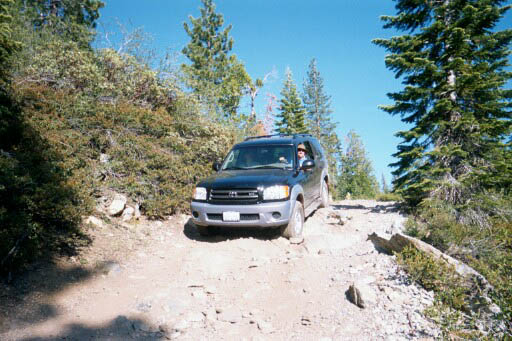
Toyota Sequoia SUV 4×4
Kern River Camping, Giant Sequoia Park:
- ALTA SIERRA
- BAKERSFIELD
- CAMP NELSON
- FAIRVIEW, CA
- HUME LAKE, CA
- KENNEDY MEADOWS
- KERNVILLE, CA
- KINGS CYN, CA
- LAKE ISABELLA, CA
- MINERAL KING
- MOJAVE
- PONDEROSA, CA
- PORTERVILLE
- RANSDBURG, CA
- RIDGECREST
- SEQUOIA NP
- SPRINGVILLE
- THREE RIVERS
- WOFFORD HEIGHTS
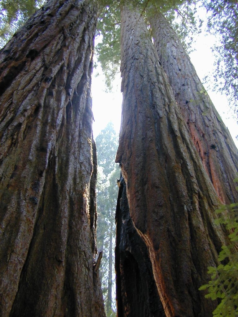
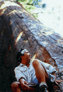
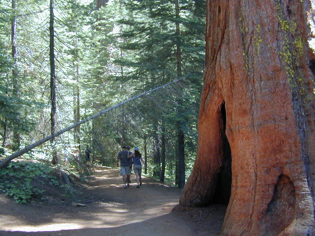
Giant Sequoia Pair


 Marble Mountain Wilderness Map USDA
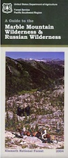


 With 89 lakes and two major Wild and Scenic river systems – Wooley Creek and the North Fork Salmon River, as well as 32 miles of the Pacific Crest Trail, there are many recreation opportunities. Elevations range from 400 to 8,299 feet; the wilderness has highly variable terrain with low-elevation canyons and high ridges such as the 22-mile-long English Peak ridge.