Angeles Hiking Maps
Topo Maps by Tom Harrison, National Geographic, USDA
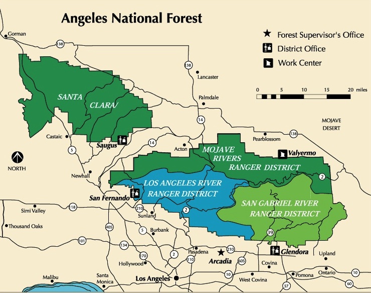
Angeles Forest
NatGeo Map #811
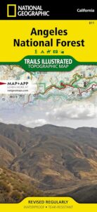
National Geographic Trails Illustrated Angeles National Forest Map #811. Los Angeles National Forest. Angeles Crest Highway 2, California State Route 14, Scenic Byways, Pacific Crest Trail, Mount Wilson, Mount Lowe, Mount Baldy, San Gabriel Mountains, Santa Clarita Trails, Magic Mountain Wilderness, Pleasant View Ridge Wilderness, San Gabriel River, San Gabriel Wilderness, Sheep Mountain Wilderness, Castaic Lake, Pyramid Lake, Piru Lake, Bouquet Canyon, Bouquet Reservoir, Elizabeth Lake, Lake Hughes, San Dimas, Azusa, Crystal Lake, Angeles Hiking Trails. GPS Compatible, Full UTM Grid. Waterproof ISBN# 9781566955775
![]()
Angeles Front Country Map
by Tom Harrison Maps
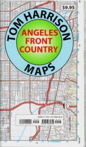
Tom Harrison Trail Map: Angeles Front Country, local LA maps for Angeles Crest. Los Angeles Forest Maps, Los Angeles Hiking Map, Backpacking Maps. Angeles National Forest, San Gabriel Mountains, Hiking Angeles Crest Highway 2 California. La Canada, Pasadena, Palmdale, Wrightwood California. Durable, waterproof plastic map; Folded. Map Scale: 63K; ISBN# 9781877689659
![]()
Angeles High Country Map
by Tom Harrison Maps
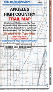
Tom Harrison Trail Map: Angeles High Country Map, local LA maps. Los Angeles Forest Maps, Tujunga Canyon, Los Angeles Hiking Map, Backpacking Maps. Angeles National Forest, San Gabriel Mountains, Angeles Crest Highway 2 California. La Canada Hiking Trails Pasadena, Palmdale, Wrightwood Hiking Maps. Durable, waterproof plastic map; Folded. Map Scale: 63K; ISBN# 9781877689628
![]()
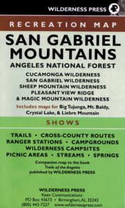
San Gabriel Mountains Recreation Map
by Wilderness Press
[CURRENTLY UNAVAILABLE 2024]
Wilderness Press Map for Los Angeles mountains region. Southern California areas include – Angeles NF, Cucamonga Wilderness, San Gabriel Wilderness, Sheep Mountain Wilderness, Pleasant Valley Ridge, Magic Mountain Wilderness, Big Tujunga, Mount Baldy, Crystal Lake, Azusa Canyon, Liebre Mountain
see also –
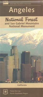
- Angeles National Forest Map USDA
- Angeles Forest Atlas
- San Berdu National Forest Map
- Big Bear Trail Map
- Cucamonga Wilderness
- Mount Baldy Map
- Mount Wilson Map
- Verdugo Mountains Map
- Santa Monica Mountains Map
- Channel Islands Map
- Los Padres Map EAST
- Los Padres Map WEST
- Los Padres Map SOUTH
- Sespe Wilderness Map
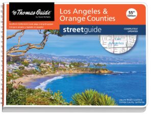
L.A. Thomas Guide
Los Angeles & Orange County Street Map
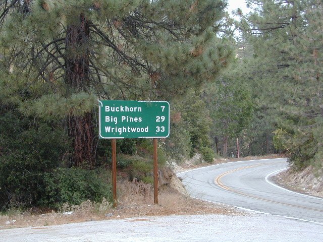
Angeles Crest Hwy 2
 NFS – USDA – U.S. Forest Service


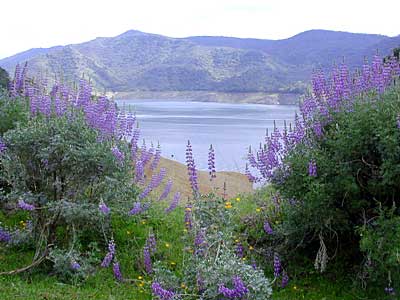
 Lupine @ Pine Flat Reservoir, Lower Kings River