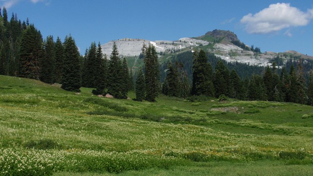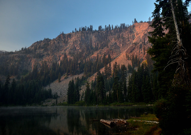
Pacific Crest Trail
Pacific Crest National Scenic Trail
PCT – Hiking Map #8
Cascade Mountains of North Oregon
Pacific Crest Trail Map: Pacific Crest Trail National Scenic Trail PCT – Map #8 (Cascade Mountains – Northern Oregon). Odell Lake to Columbia River OR; Areas include – Three Sisters Wilderness, Yapoah Crater, Obsidian Cliffs, Barlow Pass, McKenzie Pass, Santiam Pass, Timberline Trail, Three Finger Jack, Mount Jefferson, Minto Pass, North Cinder Peak, Opie Dilldock Pass, Shale Lake, Mount Washington, Jack Lake, Duffy Butte, Maxwell Butte, Cathedral Rocks, Grizzly Peak, Big Lake, Marion Lake, Dee Wright Observatory, Lava Camp, Timothy Lake, Warm Springs Indian Reservation, Pinhead Butte, Olallie Meadow, Olallie Lake, Campbell Butte, Odell Lake, Waldo Lake Wilderness, Gold Lake, Elk Lake, Wickiup Plain, Hosmer Lake, ,Mink Lake, LeConte Crater, Irish Taylor Campground, Taylor Butte, Packsaddle Mountain, Jude Lake, Breitenbush Lake, Koosah Mountain, Stormy Lake, Bobby Lake, Charlton Lake, Williamette Pass, Separation Creek, Basin Point, Mark O Hatfield Wilderness, Mount Hood Wilderness, & Columbia River. Large fold out map, durable waterproof paper w/ sturdy cardboard cover. ISBN# 9781593515454


National Geographic Trails Illustrated PCT Maps

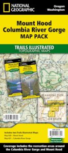
The Pacific Crest Trail Map Pack Bundle of Oregon includes 2 Topographic Map Guides that cover the entire PCT as it traverses the incredible terrain of the Beaver State. The maps start at the lowest point of the PCT, Cascade Locks, where it passes over the Columbia River, and continue past the many volcanic cones of the Cascade Range. The Oregon South booklet ends at the border of California in the Siskiyou Mountains.
The PCT spans 2,650 miles from the Canadian border, through Washington, Oregon, and California to the southern terminus at the Mexican border. The famous trail crosses some of the most wild and scenic landscapes of the western U.S., including six national parks, 25 national forests, 48 wilderness areas, the volcanic Cascade Range of the Pacific Northwest, the snowcapped Sierra Nevada, and the Mojave and Sonoran deserts.
Each PCT Topographic Map Guide includes detailed topographic maps at a scale of almost 1 inch = 1 mile. Each page is centered on the PCT and overlaps with the adjacent pages so there is little chance of getting lost. Along the bottom of each page is a trail profile that shows the distance between camping areas, trailheads, and other points of interest. The map and trail profile provide a step by step visual guide to hiking the trail, mile by rugged mile.
National Geographic Reference Map for PCT


see also –
Columbia River Map
Oregon Books
Oregon Dunes Map
Rogue River Guide Book
![]()



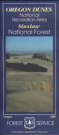
 Oregon Dunes National Recreation Area Map, Siuslaw National Forest Oregon, Oregon Dunes NRA, OR Beaches, Oregon coast map. Oregon Dunes Camping, off-road, OHV, ATV. Lagoon Campground, Driftwood II Campground, Goose Pasture, Siltcoos Beach. Westlake, Florence OR, Reedsport, Coos Bay Oregon Maps. Printed in paper in 1995


 Marble Mountain Wilderness Map USDA



 The
The  With 89 lakes and two major Wild and Scenic river systems – Wooley Creek and the North Fork Salmon River, as well as 32 miles of the Pacific Crest Trail, there are many recreation opportunities. Elevations range from 400 to 8,299 feet; the wilderness has highly variable terrain with low-elevation canyons and high ridges such as the 22-mile-long English Peak ridge.
