Summer monsoons thunderstorms are common between July and September.
Bryce Canyon National Park Map
 Bryce Cyn NP
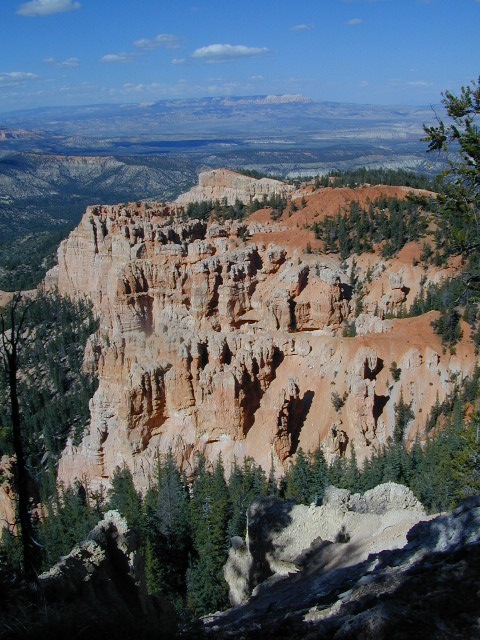
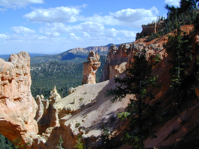
Super scenic red topped highways of Utah pass through this spectacular park. A high elevation (8000′ elev) forest w/ farmlands and small towns below.
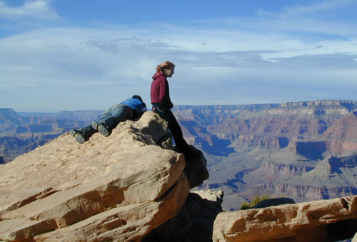
Most visitors see this National Park in route to another, because they are just driving through (and not wanting to hike much). Lots of viewpoints and parking lots, picnic tables and steep switchback hiking trails.


 Camping here requires advanced reservations w/ the National Park Service – and a few more blankets. Chilly temperatures and tall pines on this popular mountain rim.
Bryce Canyon National Park
This park is open 24 hours per day throughout the year.
Snow closes park roads – there may be temporary road closures when winter snow storms hit. Roads will stay closed until plowing is completed and conditions are safe for visitor traffic. Road maintenance may require brief closures of individual areas at other times. Landslides close hiking trails and dirt back roads nearby.
In addition, the gorgeous Visitors Center is well worth a stop. Many posters, books and maps for sale, as well as the typical tourist sweatshirts.
HIGH ELEVATION, Utah:
This National Park is a lot higher in altitude that most of the other National Parks in southern Utah. Many folks forget this fact and forget to bring their jackets. You’ll want to bring a decent winter coat for overnight visits, cuz low temperatures often dip into the 30’s even in summer months.
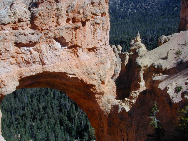
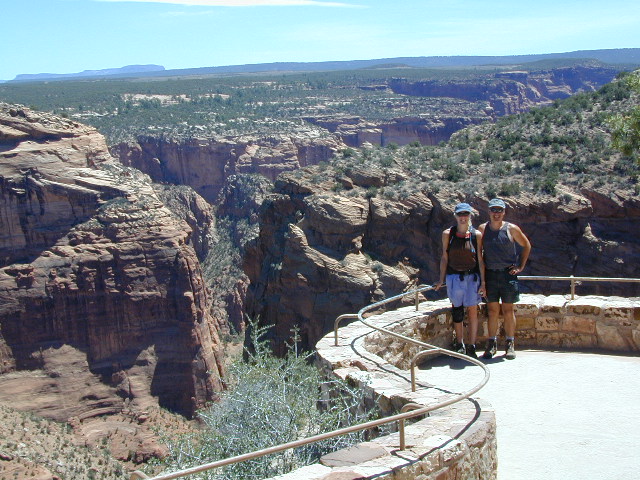
Natural Arch in Bryce Canyon UT

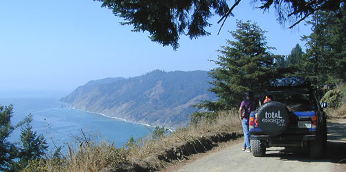
Proctor Canyon (Route 109) is an awesome back road that leads to Tropic Reservoir, situated on the west side of Bryce National Park. The easy-to-miss, dirt road turn off is located on the main Highway (89) in between rural residential properties. Although, the neighboring farmers and ranchers do not like us popularizing this route (since 2002). This is a nice option for off roaders, when traveling from Zion to Bryce. 4WD may be needed, as it is a long and shady dirt road route.
Proctor Canyon (the back way to Bryce) a long dirt road, what else? Click to see our adventure w/ a fallen tree!
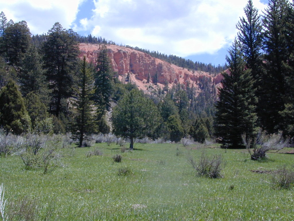
We also must mention that the east side of Bryce, at a much lower elevation, is pinyon pine forests and badlands managed by the BLM. This remote area is perfect for mountain biking, free primitive camping and finding slot canyons to hike. Boondocking heaven!