Bureau of Land Management
BLM Maps
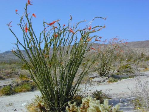
Desert BLM lands, California
Download PDF maps
from BLM website:
 https://www.blm.gov/maps
BLM’s Story Maps (web app gallery) via Web App Viewer
https://blm-egis.maps.arcgis.com/
Paper BLM Maps can be ordered online from Jawbone.org
jawbone.org/ohvmap/index.php/maps-guides/agency-maps
Alturas
Amboy
Beatty
Big Bear Lake
Bishop
Blythe
Borrego
Cuddeback Lake
Darwin Hills
Davis Dam
Death Valley Junction
Eagle Mountain
El Cajon
El Centro
Isabella Lake
Ivanpah
Lancaster
Last Chance Canyon
Mesquite Lake
Mount Whitney
Needles
Newberry Springs
Owlshead Mountains
Palm Springs
Parker Map
Ridgecrest
Saline Valley
Salton Sea
San Andreas
San Bernardino
Santa Ana
Sheephole Mountains
Soda Mountains
Tehachapi
Three Rivers
Trigo Mountain
Victorville
Yosemite Valley
Yuma

BLM for off-road routes and free camping
BLM stands for the Bureau of Land Management and it is an agency within the United States Department of the Interior responsible for administering federal lands. Headquartered in Grand Junction, Colorado and with oversight over 247.3 million acres, it governs one eighth of the country’s landmass.
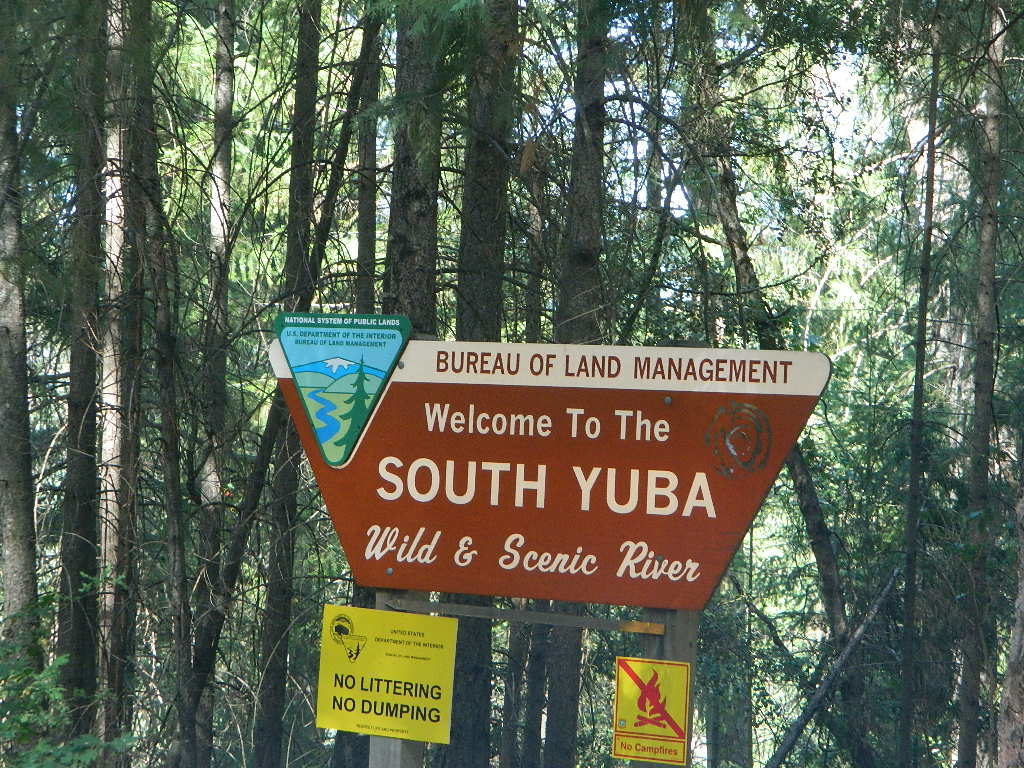
The agency manages 221 wilderness areas, 27 national monuments and some 636 other protected areas as part of the National Conservation Lands, totaling about 36 million acres. In addition the Conservation Lands include nearly 2,400 miles of Wild and Scenic Rivers, and nearly 6,000 miles of National Scenic and Historic Trails. There are more than 63,000 oil and gas wells on BLM public lands.
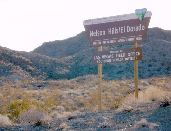
Nelson @ El Dorado Canyon – Lake Mohave
see also – 
California Desert Maps
National Forest Atlas
State Atlas Maps
Utah Maps
