Mount Whitney Zone Map


Mt Whitney Zone Trail Map
whitney zone trail map
Tom Harrison Maps

Mount Whitney is the tallest mountain peak in the Lower 48 USA

Mount Whitney Map, Whitney Portal. Topo Trail. Mt Whitney maps. Tom Harrison Trail Map: Mount Whitney Zone Trail Map, Lone Pine, CA; Areas include: Whitney Portal, Crabtree, Cottonwood Lakes, Rock Creek. Whitney Portal Trailheads, Outpost Camp, Trail Camp, Whitney Summit, Mountaineer’s Route, High Sierra Trail, Crescent Meadow, and the John Muir Trail Junction. Durable, waterproof plastic map; Folded. Map Scale: 31.7K; ISBN# 9781877689697

Mount Whitney Zone Map

avenza mapsdownload digital version of this map –
Mount Whitney Zone Map


  • backpacking
  • camping
  • climbing
  • fishing
  • hiking
  • horsepacking
  • mountaineering

A day hike to Mount Whitney and back to the Portal is not really possible (for most people), so an overnight backpacking trip is a given. High elevations makes for thinner air and more challenging conditions.

Permits are required to hike this popular peak – DAY HIKERS or OVERNIGHTERS. Authorities limit the amount of people that can be on these trails. A lottery tackles the choice of who gets to go this year. Annual deadline is April 30 @ recreation.gov

How many people wanna hike Whitney?

25,005 applications in 2021
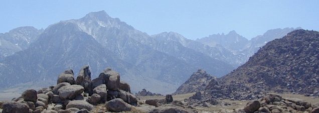
Mount Whitney Zone Map

redwood maps

USEFUL LINKS:

california indpendent

Mount Whitney is the tallest mountain in the contiguous United States and the Sierra Nevada, with an elevation of 14,505 feet. It is in East–Central California, on the boundary between California’s Inyo and Tulare counties, 84.6 miles west-northwest of North America’s lowest point, Badwater Basin in Death Valley National Park, at 282 feet below sea level. The mountain’s west slope is in Sequoia National Park and the summit is the southern terminus of the John Muir Trail, which runs 211.9 miles from Happy Isles in Yosemite Valley. The eastern slopes are in Inyo National Forest in Inyo County.

Mount Whitney’s summit is on the Sierra Crest and the Great Basin Divide. It lies near many of the Sierra Nevada’s highest peaks. The peak rises dramatically above the Owens Valley, sitting 10,778 feet or just over 2 miles above the town of Lone Pine 15 miles to the east, in the Owens Valley. It rises more gradually on the west side, lying only about 3,000 feet above the John Muir Trail at Guitar Lake. The mountain is partially dome-shaped, with its famously jagged ridges extending to the sides. Mount Whitney is above the tree line and has an alpine climate and ecology.

see also –

Mount Whitney Highcountry Map
Inyo National Forest Map USDA
Inyo Forest Atlas
John Muir Wilderness Maps
John Muir Trail Books

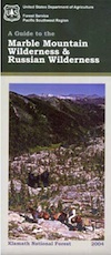
Marble Mountain Wilderness Map

Marble Mountain / Russian Wilderness Map

Marble Mountain Wilderness MapMarble Mountain Wilderness Map USDA

Marble Mountain Wilderness Map

Klamath River / Marble Mountains / Russian Wilderness
Marble Mountain Wilderness

Klamath National Forest

Marble Mountain Wilderness Map

OLDER VERSION

Yreka, Happy Camp, Klamath River, Salmon River, Scott River, Fort Jones, Orleans, Cuddihy Lake, Upper Albert Lake, Russian Wilderness.

Perfect for a day hike reference or extended backpacking adventures. 1″ & 2″ to mile; Waterproof plastic map paper. This map can usually be found at local Ranger Stations. ISBN# 9781593514204

NorCal:
best guide book for wild

Cliff Lake Backpacking Trip, Marble Mountain Wilderness, California, Aug 2007

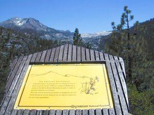
horse trail mapsThe Marble Mountain  Wilderness is an area of high divides, deep canyons and perennial mountain streams provides habitat for a wide variety of plant and animal life. With more than 7,000 feet of vertical relief, soils from several rock types, and abundant rain and snowfall, the diversity of ecosystems is unequaled anywhere else in the country.

fishing mapWith 89 lakes and two major Wild and Scenic river systems – Wooley Creek and the North Fork Salmon River, as well as 32 miles of the Pacific Crest Trail, there are many recreation opportunities. Elevations range from 400 to 8,299 feet; the wilderness has highly variable terrain with low-elevation canyons and high ridges such as the 22-mile-long English Peak ridge.
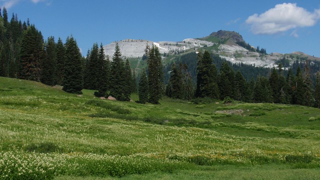
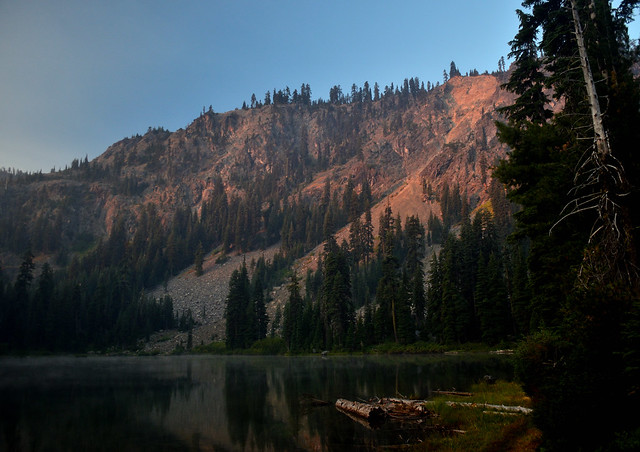
Popular activities include fishing, backpacking, mountaineering, rock climbing, and cross-country skiing.

camp map

There are also numerous caves within this wilderness, accessible to prepared spelunkers. They all feature stalactites and other flowstone formations, and are accessible mostly by vertical drops. Due to the hidden nature of most of the cave mouths, caving is not regulated, though the Forest Service and National Speleological Society request only experienced cavers attempt to access these dangerous caves. Signs at the trail heads that access the Marble Rim warn of white nose syndrome. One of the deepest caves in the continental US is located in the wilderness, Bigfoot Cave.

Sky High Basin 05

Summit Lake


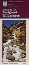
Emigrant Wilderness Map

Emigrant Trail Maps

emigrantsign

Emigrant Wilderness Area
part of Stanislaus National Forest

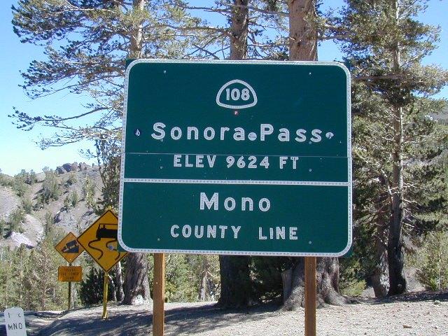
Highway 108 – Sonora Pass
Sierra Nevada Gold Country
North of Yosemite National Park

Emigrant Wilderness Map USDA

OLD VERSION

High Sierra with deep snow closes this region annually. This is usually the last Sierra Hwy Pass to OPEN for through-traffic in summer. It gets more snow than Yosemite. Check local rangers for all road conditions, fire info, trail access points before departing on a backcountry trip. Wilderness permits and campfire permits are always required!

Waterproof Plastic Paper. 1″ to mile; Usually only found at Ranger Stations – Hard to find maps. Perfect for a day hike reference or extended backpacking adventures. Printed on plastic in 2016. ISBN# 9781628114133


Emigrant Wilderness Trail Map

Topo Maps by Tom Harrison

Emigrant Wilderness Map

OLD VERSION

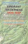
Tom Harrison Trail Map: Emigrant Wilderness Map Trail Map, Sonora Pass Map, Sierra Nevada; Kennedy Meadows, CA. Pinecrest Lake, Dodge Ridge, Relief Reservoir, Leavitt Lake, Leavitt Meadows, The Dardanelles, Eagle Meadows; Sonora River fishing, Dardanelle CA. Durable, waterproof plastic map; Folded. Map Scale: 63.4K; ISBN# 9780989457910

Wilderness Press Topographic Map


Emigrant Wilderness Map

see also –

Stanislaus National Forest Map
Stanislaus Forest Atlas
Yosemite High Country Map

Desolation Wilderness Trail Map

Desolation Wilderness Trail Map
Tom Harrison

Desolation Wilderness Trail Map

Desolation Wilderness Map, Tahoe Lake Camping. Lake Tahoe, CA; Tahoe Westside, Loon Lake camping, Lake Aloha, Emerald Bay, Fallen Leaf Lake, DL Bliss State Park, Echo Lake, Velma Lake, Wrights Lake, Rubicon River, Rubicon 4×4 Trail, Rockbound Valley, Tahoe Rim Trail hiking PCT Pacific Crest Trail; Sierra Nevada High Country Tahoe hiking; Durable, waterproof plastic map; Folded. Map Scale: 42.24K; ISBN# 9781877689611

avenza mapsdownload digital version of this map –
Desolation Wilderness Trail Map

Desolation Wilderness Trail Map

Desolation Wilderness on the Westside of Lake Tahoe

Desolation Wilderness Trail Map

Desolation Wilderness Trail Map

NEWER VERSION

Desolation Wilderness is a popular backpacking destination next to Lake Tahoe, with much barren rocky terrain at the edge of the tree line. It has extensive areas of bare granite rock formations. The Tahoe Rim Trail and Pacific Crest Trail pass through the wilderness.

Permits are required for both day use and overnight camping. In the summer, a quota system is used for overnight trips to limit the number of visitors on any given day in the wilderness. Desolation Wilderness is one of the most heavily used protected areas in the United States. This Wilderness area is split up into 45 different zones, with each having a specific permitting quota.

The Crystal Range is within the wilderness area, with Pyramid Peak as the highest point in the range and the wilderness at 9,985 feet in elevation. Among the many waterfalls within the wilderness is Horsetail Falls.

Its largest body of water is Lake Aloha, a reservoir with shallow, clear waters sitting in a wide granite basin carved by glaciers of the last ice age. Many other alpine and wooded lakes of various sizes are scattered throughout the area.


see also –

Crystal Basin Silver Fork Map
Eldorado National Forest Map
Lake Tahoe Books
Lake Tahoe Maps
PCT Map #4 Mid Sierra
PCT Map #5 N Sierra