Plumas Forest Map
Northern Sierra Nevada Mountains, Feather Rivers, Quincy, Blairsden, Bucks Lake, Dixie Mountain, Lake Davis
(see wildfire notes below)
GPS: Longitude & Latitude; Rivers, Creeks, Peaks, Elevations, 4WD & every dirt BackRoad, Hot Springs, Equestrian Areas, all Campgrounds, Hiking Trails & BackPacking Trailheads.
Areas include: Northern Sierra, Quincy, Blairsden, Buck’s Lake Wilderness, Dixie Mountain State Game Refuge, Mount Hough, Lake Almanor, Lake Davis, Lakes Basin Recreational Area, Little Grass Valley Reservoir, New Bullards Bar Reservoir, Sly Creek Reservoir, Lake Oroville, Gold Lake, Butte Valley Reservoir, Antelope Lake, Snake Lake, Round Valley, Feather River. ISBN# 9781628114348
Map Size: 36″x 48″ overall / 4″x9″ folded; Printed on waterproof plastic in 2019
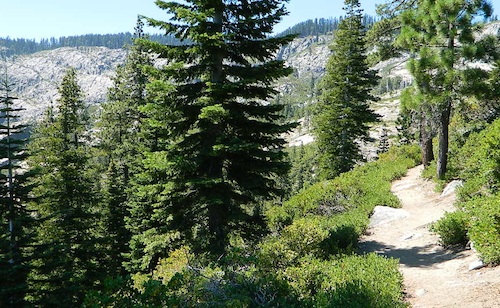
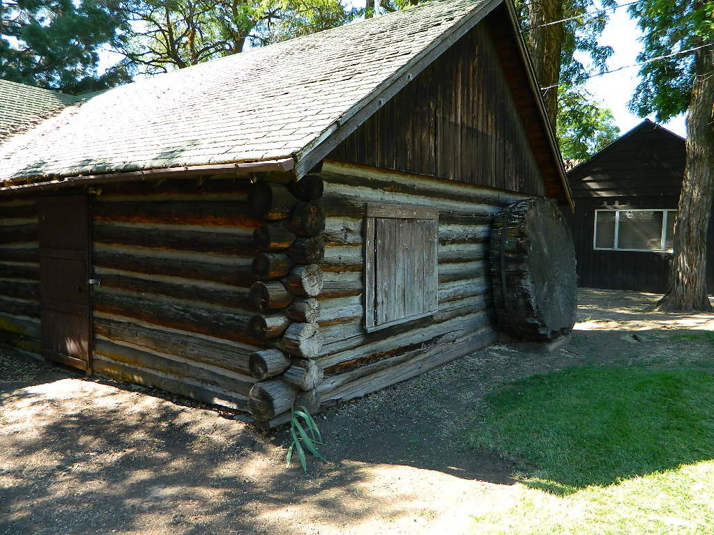
Ridge Trail to Mini Gold Lake, Buck Lake Wilderness
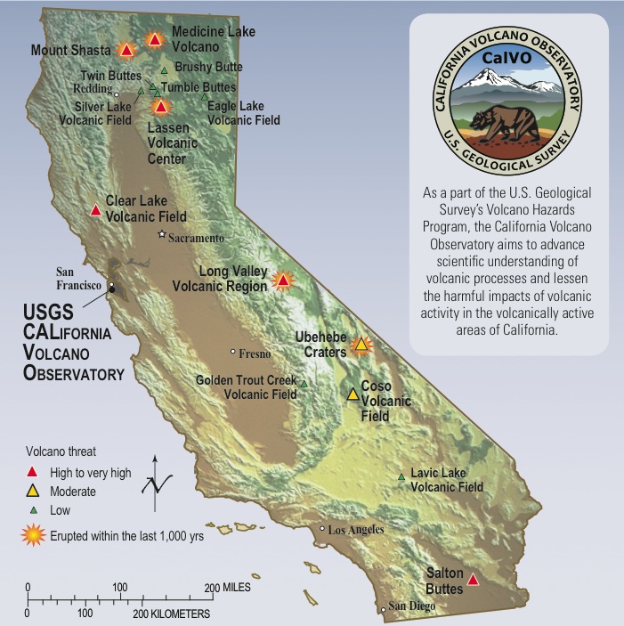
Northern Sierra Nevada / NorCal’s Volcanic Red Mountains
Plumas National Forest

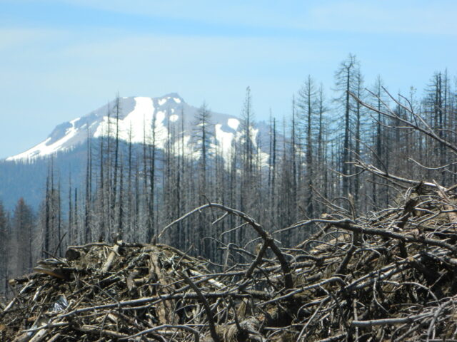
2022 UPDATE: Most of this National Forest has been devastated by recent wildfires. Much of the forest in between Bucks Lake and Oroville is now totally toast. That’s a whopping 50 mile stretch, hence 318,935 acres. Expect campground closures, damaged trails and heavy logging activity. Charred forests also exist all the way around Indian Valley and Lake Almanor, and along Highway 70, east of Quincy, CA
PCT – Pacific Crest Trail is burnt from Bucks Lake to Lassen!
Wild & Scenic Middle Feather River is burnt 40+ miles, from the town of Quincy to Lake Oroville.
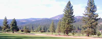
Graeagle Golf, East of Quincy, CA
Wilderness Areas, Lakes & Recreation Areas
 around Plumas National Forest:
Antelope Lake
Antelope Valley Wildlife Area
Big Bald Rock
Bucks Lake Wilderness
Butterfly Valley
Crocker Meadows Wildlife Area
Dixie Mountain
Dome Trail @ Middle Feather
Feather River
Middle Fork Feather River Map
Frenchman Reservoir
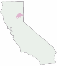
Lake Davis
Lakes Basin Recreation Area
Little Grass Valley Reservoir
Mount Hough State Game Refuge
Sly Creek Reservoir
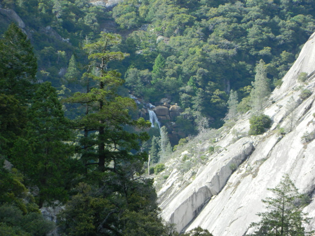
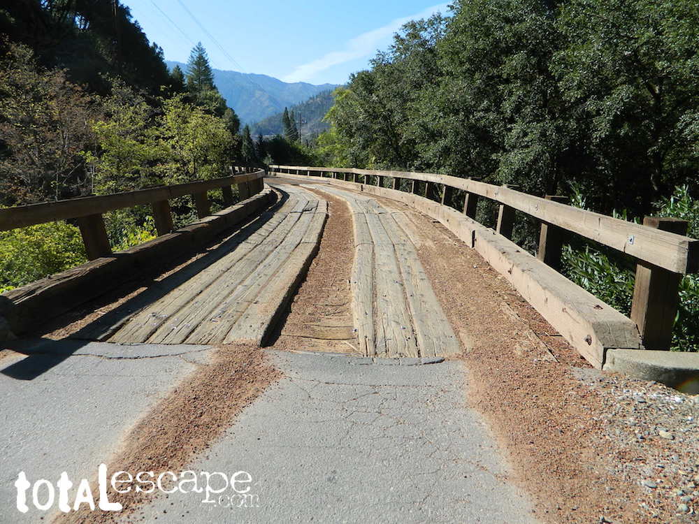
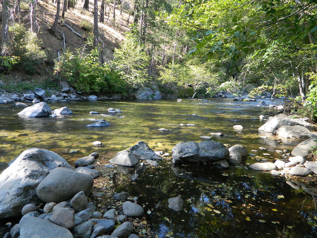
Curtain Falls, from Dome Trail Hike
Warning: Neither one of these photos look like this anymore. The Bear Fire wildfire ravaged this canyon of the Middle Fork of the Feather River in 2020.
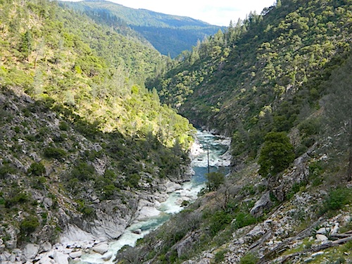
Scenic Middle Fork of Feather River, near Berry Creek, CA
nearby towns:
- DOWNIEVILLE, CA
- CHALLENGE, CA
- OROVILLE, CA
- BERRY CREEK, CA
- PARADISE
- CHICO, CA
- BUCKS LAKE
- RED BLUFF
- PAYNES CREEK
- MINERAL, CA
- CHESTER, CA
- WESTWOOD
- SUSANVILLE, CA
- GREENVILLE, CA
- CRESCENT MILLS
- TAYLORSVILLE, CA
- LAKE ALMANOR
- QUINCY, CA
- GRAEAGLE, CA
- PORTOLA, CA
- LA PORTE, CA
Plumas, National Forest, Map, Fishing, Hiking, Northern Sierra, Quincy, Snake Lake, Blairsden, Buck’s Lake Wilderness, Dixie Mountain, Mount Hough, Lake Davis, Lake Almanor, Gold Lake California, Lakes Basin Recreation Area, Plumas Eureka State Park, Feather River Fishing, Plumas Forest Camping
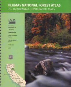
see also – Plumas Forest Topo Atlas
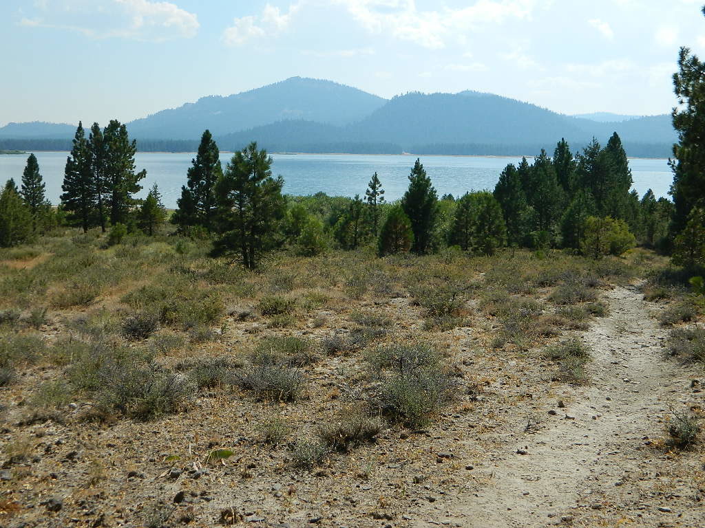
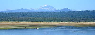
Lake Davis, California
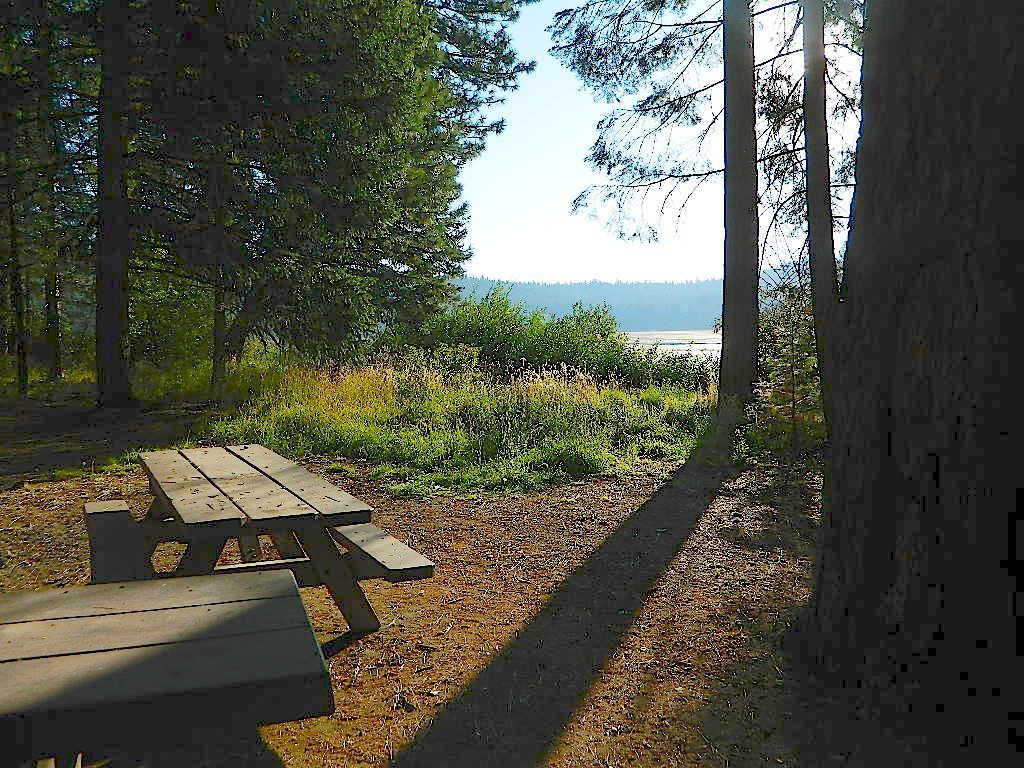
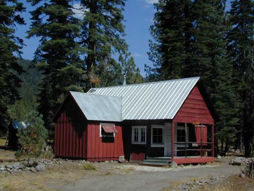
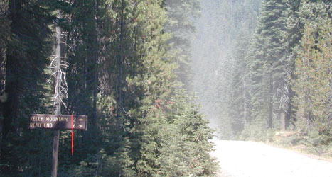
Snake Lake Camping, W of Quincy, CA


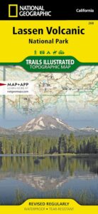
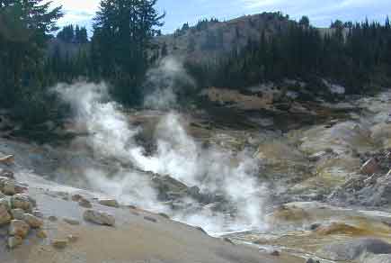
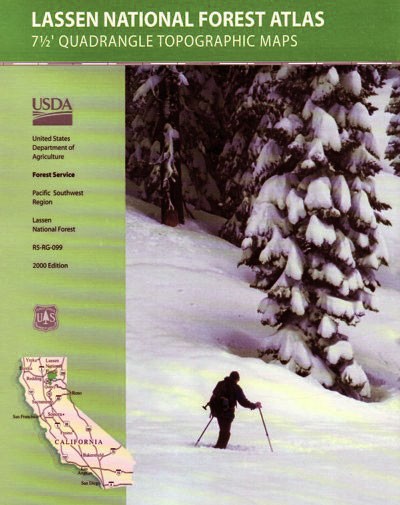
 Lassen National Forest Map includes all of Lassen Volcanic National Park too.