Bucks Lake Wilderness Map

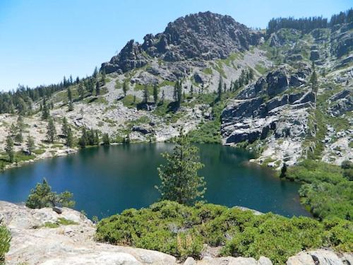
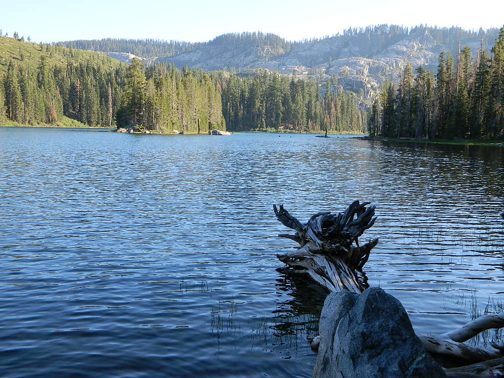
Gold Lake @ Bucks

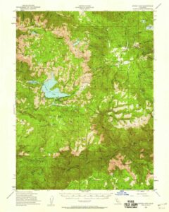
Bucks Lake Topo Map

Topo Map

Bucks Lake Wilderness Map

Bucks Lake Map
Bucks Lake Wilderness Map USDA
Map Scale = 2″ to 1 mile; Printed on paper in 1990.
Available @ USGS.gov
and at Plumas Ranger Station, Quincy, CA

Bucks Lake Wilderness @ Bucks Lake
Northern Sierra Nevada mountains

NFS

TrailheadsEast of Oroville, CA
West of Quincy, CA

Plumas National Forest

Bucks Lake Wilderness Map

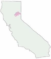
South of Mount Lassen, deep in the forests west of Quincy & Meadow Valley, lies a few small alpine lakes in and around the bigger Bucks Lake, a resort cabin community with dining, overnight lodging, cabin rentals, RV and tent campgrounds. Indian Rock is a popular DAY USE beach along the west shoreline.

Wilderness hiking trails climb to peaks and lakes at higher elevations.

Topo maps are perfect for a day hike reference or extended backpacking adventures. Pacific Crest Trail access. Bucks Lake has numerous developed campgrounds, smaller lakes and many miles of trails to explore.


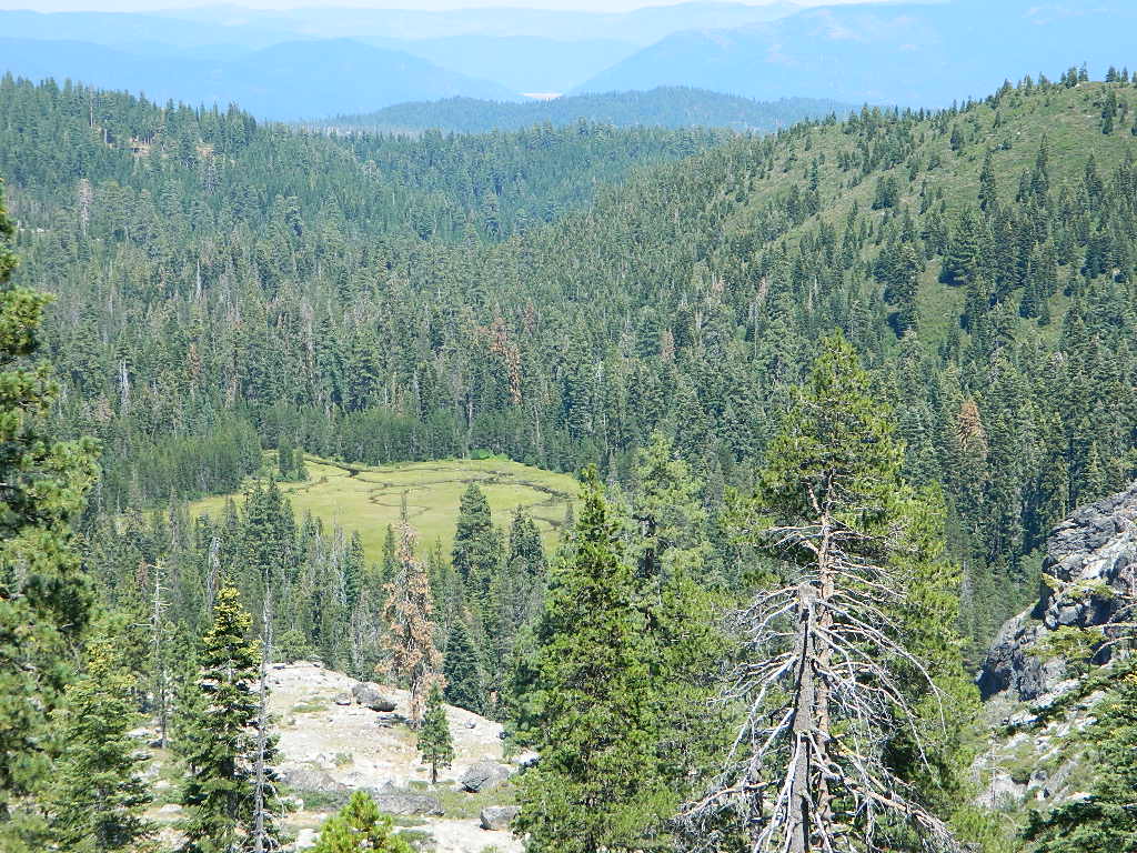
Jacks Meadow

Jacks Meadow

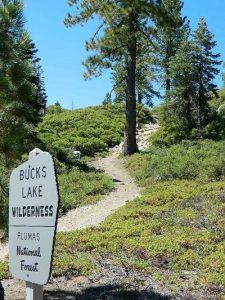
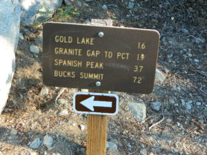
gold lake sign

silver lake bucks lake

Silver Lake has a small campground accessed via dirt road.

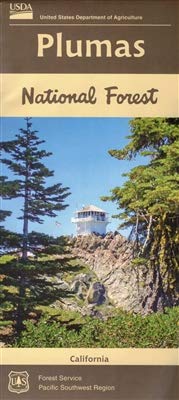
Plumas National Forest Map

Plumas Forest Map

Plumas NF map

Northern Sierra Nevada Mountains, Feather Rivers, Quincy, Blairsden, Bucks Lake, Dixie Mountain, Lake Davis

(see wildfire notes below)

GPS: Longitude & Latitude; Rivers, Creeks, Peaks, Elevations, 4WD & every dirt BackRoad, Hot Springs, Equestrian Areas, all Campgrounds, Hiking Trails & BackPacking Trailheads.

Areas include: Northern Sierra, Quincy, Blairsden, Buck’s Lake Wilderness, Dixie Mountain State Game Refuge, Mount Hough, Lake Almanor, Lake Davis, Lakes Basin Recreational Area, Little Grass Valley Reservoir, New Bullards Bar Reservoir, Sly Creek Reservoir, Lake Oroville, Gold Lake, Butte Valley Reservoir, Antelope Lake, Snake Lake, Round Valley, Feather River. ISBN# 9781628114348

Map Size: 36″x 48″ overall / 4″x9″ folded; Printed on waterproof plastic in 2019
Plumas National Forest Map

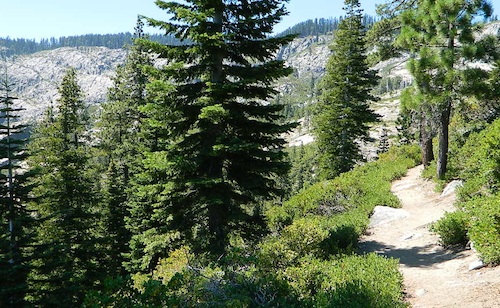
Ridge Trail to Mini Gold Lake, Buck Lake Wilderness

Northern Sierra Nevada / NorCal’s Volcanic Red Mountains
Plumas National Forest

redwood maps

2022 UPDATE: Most of this National Forest has been devastated by recent wildfires. Much of the forest in between Bucks Lake and Oroville is now totally toast. That’s a whopping 50 mile stretch, hence 318,935 acres. Expect campground closures, damaged trails and heavy logging activity. Charred forests also exist all the way around Indian Valley and Lake Almanor, and along Highway 70, east of Quincy, CA

pct

PCT – Pacific Crest Trail is burnt from Bucks Lake to Lassen!

Wild & Scenic Middle Feather River is burnt 40+ miles, from the town of Quincy to Lake Oroville.
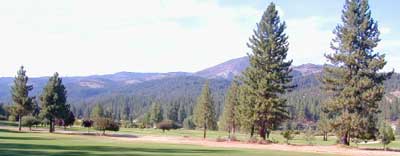
Plumas National Forest Map

Graeagle Golf, East of Quincy, CA

Wilderness Areas, Lakes & Recreation Areas
hikers maparound Plumas National Forest:

Antelope Lake
Antelope Valley Wildlife Area
Big Bald Rock
Bucks Lake Wilderness
Butterfly Valley
Crocker Meadows Wildlife Area
Dixie Mountain
Dome Trail @ Middle Feather
Feather River
Middle Fork Feather River Map
Frenchman Reservoir

Lake Davis
Lakes Basin Recreation Area
Little Grass Valley Reservoir
Mount Hough State Game Refuge
Sly Creek Reservoir
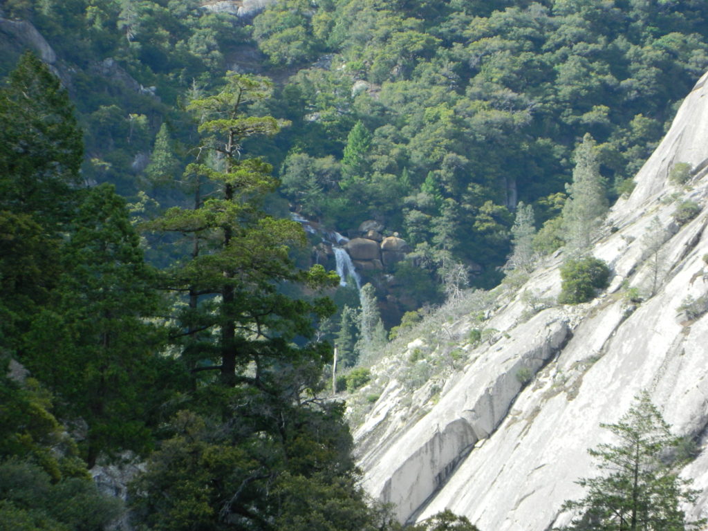
Plumas National Forest Map

Curtain Falls, from Dome Trail Hike

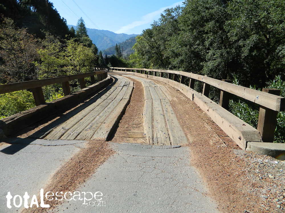
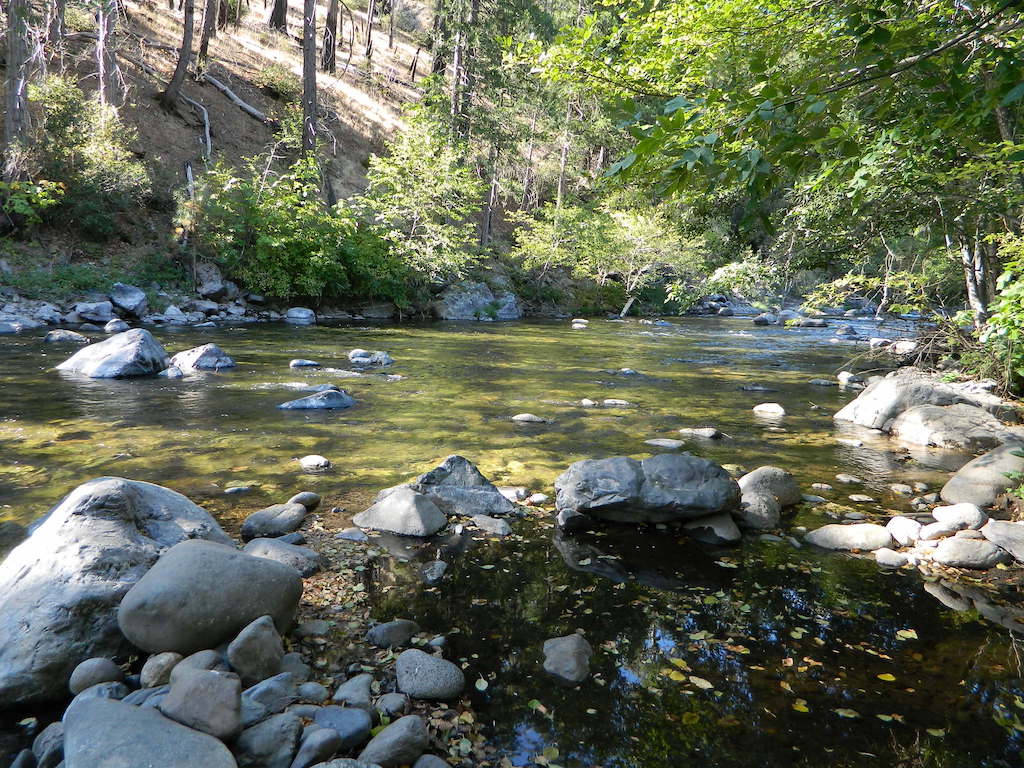
Warning: Neither one of these photos look like this anymore. The Bear Fire wildfire ravaged this canyon of the Middle Fork of the Feather River in 2020.
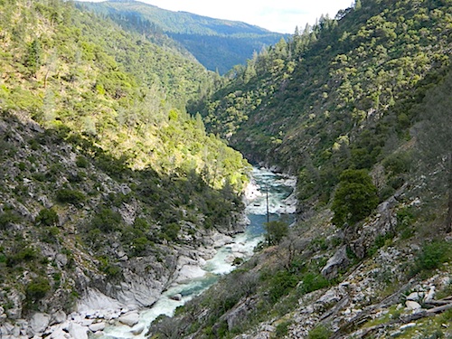
riverfromtrail

Scenic Middle Fork of Feather River, near Berry Creek, CA

nearby towns:

Plumas, National Forest, Map, Fishing, Hiking, Northern Sierra, Quincy, Snake Lake, Blairsden, Buck’s Lake Wilderness, Dixie Mountain, Mount Hough, Lake Davis, Lake Almanor, Gold Lake California, Lakes Basin Recreation Area, Plumas Eureka State Park, Feather River Fishing, Plumas Forest Camping

see also – Plumas Forest Topo Atlas
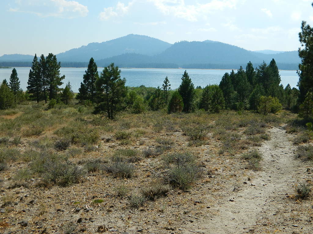
Lake Davis, California
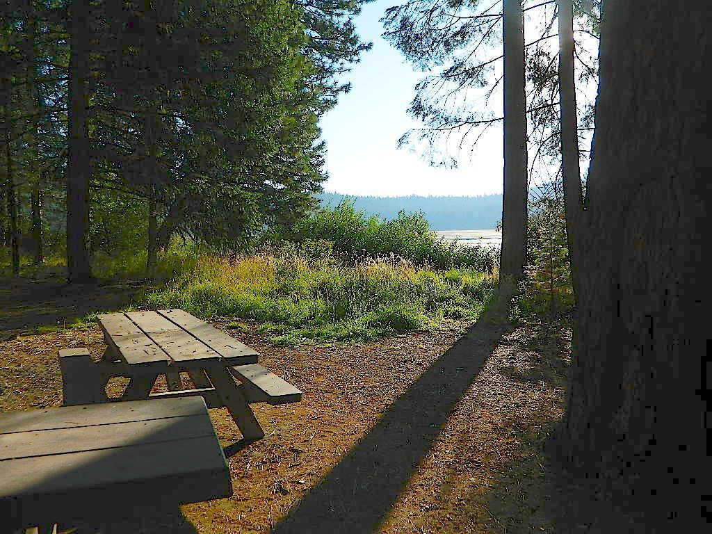
Lake Davis, California


Plumas National Forest Map

Snake Lake Camping, W of Quincy, CA

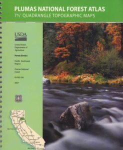
Plumas Forest Topo Atlas

Plumas Atlas USDA
Plumas National Forest Atlas

Plumas Atlas Book

The PLUMAS atlas, is a spiral bound book – a collection of all the quads. (7½ minute topographical maps, of all of Plumas National Forest) This book map has detailed topo lines, mountain peaks, streams, lakes, hiking trails & back roads. Perfect for all kinds of recreational needs. These particular maps are on a per order basis, meaning most have to be special ordered from the ranger – which takes about a week to get them. Printed in 2019

check mapsWILDFIRE NOTE: Two thirds of the Plumas National Forest has burnt in 2020-2021 with huge and destructive wildland fires. Some areas are closed, due to fire damage. Expect debris in roadways, detours, bleak scenery and dead trees falling.

The 2020 #BearFire #NorthComplex and the 2021 #DixieFire destroyed historic buildings, fire lookouts, old cabins, residential houses, small towns and rural communities; plus old growth forests and unimaginable numbers of wildlife. Many roads, trails and campgrounds are closed to the public; while reforestation may take many decades, if not a century.

Caribou Road (in 2018) off Hwy 70. North Feather River

hikers map

trail map

camp map

Plumas National Forest QUADS:
from south to north –

  • French Corral
  • Challenge
  • Rackerby
  • Oroville Dam
  • Forbestown
  • Clipper Mills
  • Strawberry Valley
  • Goodyears Bar
  • Cherokee
  • Berry Creek
  • Brush Creek
  • Cascade
  • American House
  • La Porte
  • Mount Fillmore
  • Gold Lake
  • Clio
  • Calpine
  • Paradise East
  • Pulga
  • Soapstone Hill
  • Haskins Valley
  • Dogwood Peak
  • Onion Valley
  • Blue Nose Mountain
  • Johnsville
  • Blairsden
  • Portola
  • Reconnaissance Peak
  • Chilcoot
  • Beckwourth Pass
  • Kimshew Point
  • Storrie
  • Bucks Lake
  • Meadow Valley
  • Quincy
  • Spring Garden
  • Mount Ingalls
  • Grizzly Valley
  • Crocker Mountain
  • Dixie Mountain
  • Frenchman Lake
  • Constantia
  • Belden
  • Caribou
  • Twain
  • Crescent Mills
  • Taylorsville
  • Gensee Valley
  • Babcock Creek
  • Squaw Valley Peak
  • Ferris Creek
  • McKesick Peak
  • Almanor
  • Canyondam
  • Greenville
  • Moonlight Peak
  • Kettle Rock
  • Antelope Lake
  • Stony Ridge
  • Milford
  • Fredonyer Pass
  • Diamond Mountain
  • Janesville
  • Standish

Plumas Forest, USFS Map, Topo Atlas, Fishing, Camping, Feather River, Lake Almanor, Indian Valley

see also –

Plumas National Forest Map USDA
Bucks Lake Wilderness Map
Sierra Buttes Maps

North Feather River

North Feather River @ Caribou Rd