Northern Cal Rivers and Forests
Siskiyou Topo Maps, NorCal
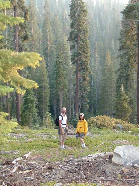
The Siskiyou Mountains border the Oregon state line at deep rivers and dense wild land. Bigfoot country, or so they say. Forested, hard to access country, whitewater creeks and river canyons of northern California.
- Siskiyou Wilderness is located inside California, northwest of the Klamath River and CA Highway 96.
- Siskiyou National Forest is public land USDA in southern Oregon, west of Interstate 5, portions of which span into California.
![]()
Siskiyou Wilderness Trail Map
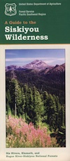 Siskiyou Wilderness Map
2024: CURRENTLY OUT OF PRINT
Wilderness Area located inside California, west of the Klamath River and north of SR 96. Indian Creek marks the northern wilderness boundary, while Blue Creek defines the south end.
Elk Valley trailhead camp is a prime spot, tucked deep into the Wilderness, accessible by a paved back road from Highway 96.
Siskiyou Wilderness, part of Klamath & Six Rivers National Forest. California – Oregon border area. Northern California @ Happy Camp, Klamath River, Clear Creek, Independence Creek, Baldy Mountain, Curry Homestead, Poker Flat, Kelly Lake, Youngs Peak, Patrick Creek, Smith River, Raspberry Lake, Chicago Peak, Oregon Hikes, Devils Punchbowl, Buck Lake, Island Lake, Little Bear Valley, South Kelsey National Recreation Trail, Ship Mountain Lake, Bear Basin Butte, Little South Fork Waterfall, Harrington Lake, Elk Valley, Blue Creek, Muslatt Mountain, Deer Lick Lake, Beans Camp.
Scale 1″ = 1 mile; Waterproof plastic map paper. Perfect for a day hike reference or extended backpacking adventures. ISBN# 9781593514730
![]()
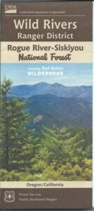
Siskiyou National Forest Maps
Oregon Camping & Hiking Topo Map
Siskiyou National Forest Map, Coos Bay, Northern California – Oregon border.
Siskiyou Hiking Maps, Topographical Maps Grant Pass, Brookings, Gold Beach, Cave Junction, Powers, Merlin, OR. Hwy 199, Snow Camp Lookout, Agness, Big Pine Trail, Port Orford, Pearsoll Fire Lookout Tower, Oregon Maps, Whitehorse Campground, Schroeder, Lake Selmec, Almeda Park Camping, Indian Mary Campground, Hog Creek, Harris Beach State Park, Humbug Mountain State Park Oregon. Printed on paper in 1997
Siskiyou Peaks:
Klamath Knot to Ashland

USFS, United States Forest Service – aka National Forest Service