Plumas Atlas USDA
Plumas National Forest Atlas
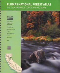
The PLUMAS atlas, is a spiral bound book – a collection of all the quads. (7½ minute topographical maps, of all of Plumas National Forest) This book map has detailed topo lines, mountain peaks, streams, lakes, hiking trails & back roads. Perfect for all kinds of recreational needs. These particular maps are on a per order basis, meaning most have to be special ordered from the ranger – which takes about a week to get them. Printed in 2019
 WILDFIRE NOTE: Two thirds of the Plumas National Forest has burnt in 2020-2021 with huge and destructive wildland fires. Some areas are closed, due to fire damage. Expect debris in roadways, detours, bleak scenery and dead trees falling.
The 2020 #BearFire #NorthComplex and the 2021 #DixieFire destroyed historic buildings, fire lookouts, old cabins, residential houses, small towns and rural communities; plus old growth forests and unimaginable numbers of wildlife. Many roads, trails and campgrounds are closed to the public; while reforestation may take many decades, if not a century.
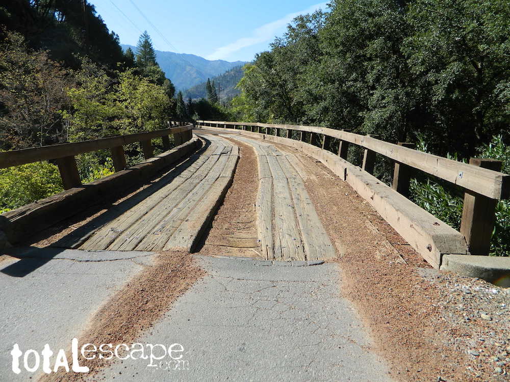
Caribou Road (in 2018) off Hwy 70. North Feather River


Plumas National Forest QUADS:
from south to north –
- French Corral
- Challenge
- Rackerby
- Oroville Dam
- Forbestown
- Clipper Mills
- Strawberry Valley
- Goodyears Bar
- Cherokee
- Berry Creek
- Brush Creek
- Cascade
- American House
- La Porte
- Mount Fillmore
- Gold Lake
- Clio
- Calpine
- Paradise East
- Pulga
- Soapstone Hill
- Haskins Valley
- Dogwood Peak
- Onion Valley
- Blue Nose Mountain
- Johnsville
- Blairsden
- Portola
- Reconnaissance Peak
- Chilcoot
- Beckwourth Pass
- Kimshew Point
- Storrie
- Bucks Lake
- Meadow Valley
- Quincy
- Spring Garden
- Mount Ingalls
- Grizzly Valley
- Crocker Mountain
- Dixie Mountain
- Frenchman Lake
- Constantia
- Belden
- Caribou
- Twain
- Crescent Mills
- Taylorsville
- Gensee Valley
- Babcock Creek
- Squaw Valley Peak
- Ferris Creek
- McKesick Peak
- Almanor
- Canyondam
- Greenville
- Moonlight Peak
- Kettle Rock
- Antelope Lake
- Stony Ridge
- Milford
- Fredonyer Pass
- Diamond Mountain
- Janesville
- Standish
Plumas Forest, USFS Map, Topo Atlas, Fishing, Camping, Feather River, Lake Almanor, Indian Valley
see also –
Plumas National Forest Map USDA
Bucks Lake Wilderness Map
Sierra Buttes Maps
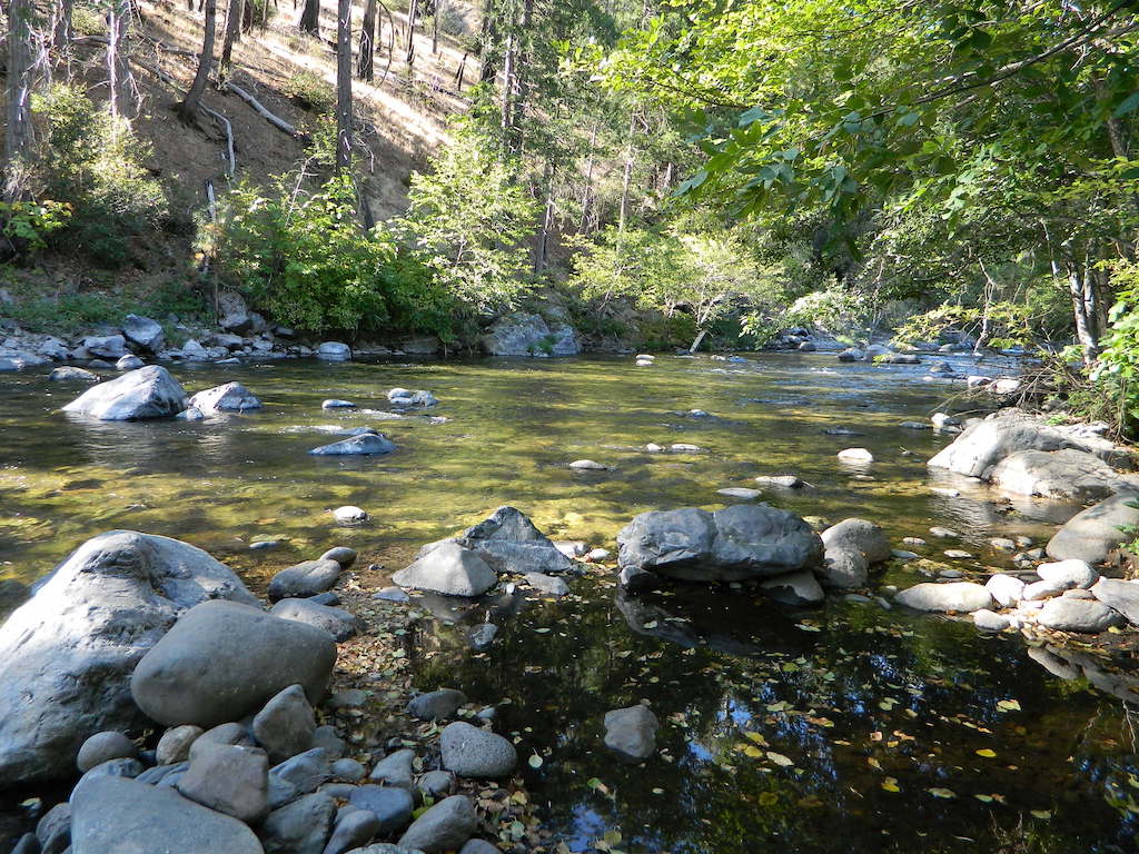
North Feather River @ Caribou Rd
