California Central Coast:
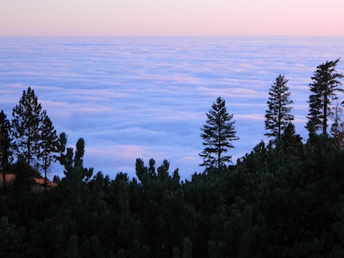
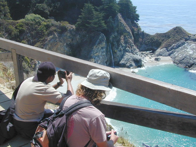
Big Sur
Find Maps on Big Sur, California:
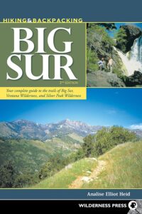
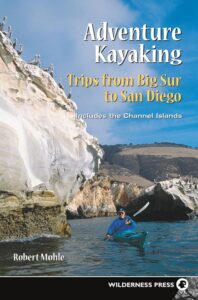
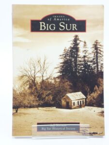
Big Sur Books
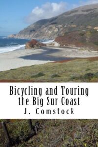
Books on the Big Sur Coast & Mountains


Find Maps on Big Sur, California:
Books on the Big Sur Coast & Mountains
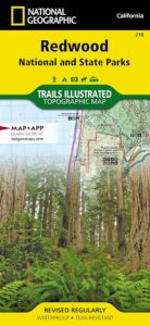
 Trails Illustrated Map from National Geographic. Redwood National Park & State Parks Map #218. Northern California Redwood Park Map. Features all the redwood parks in NorCal from the Redwood National Park to the many State Parks. Smith River National Recreation Area. Siskiyou Wilderness. Hiking & Horse trails. Primitive Campsites, Camping & Hiking Map. Very detailed & colorful. Waterproof Plastic Map; Tear Resistant. GPS data. ISBN# 9781566953191
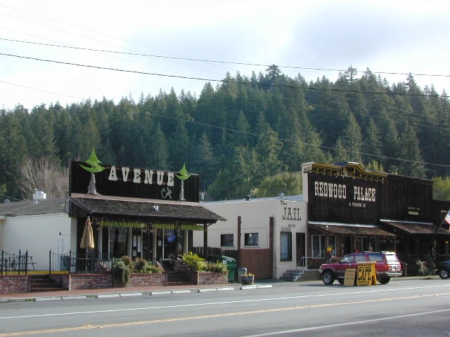
 nearby towns:

see also –
Big Sur Coast Maps
Lost Coast Map
Sequoia Topo Atlas
Sequoia National Forest Map
Sequoia National Park Map
Mount Tamalpais Trail Map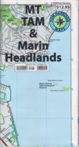
by Tom Harrison
Tom Harrison Trail Maps: Mount Tamalpais Trail Map, Mount Tamalpais State Park Map; Marin County Open Space, Marin Municipal Water District, San Francisco Hiking Maps, San Francisco Hikes, Backpacking Point Reyes. Camping Point Reyes Redwoods. Mount Tam Hiking, Golden Gate National Recreation Area.
Durable, waterproof plastic map; Folded. Map Scale: 24K; ISBN# 9781877689741
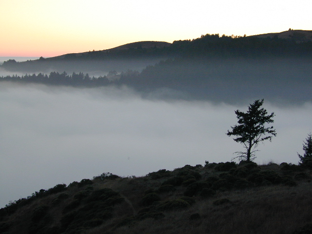
 Mount Tamalpais is considered the birthplace of mountain biking. This State Park is one of the most popular hiking areas in Marin County, California. Mount Tamalpais is the most prominent physical feature north of the Golden Gate in the San Francisco Bay area. Its slopes are covered with a variety of forests, hiking and biking trails, accessible from trailhead and campgrounds around its perimeter.
other local maps for
Marin County & Mount Tamalpais:
nearby towns:
see also –
Point Reyes Map
All Mount Tamalpais Maps
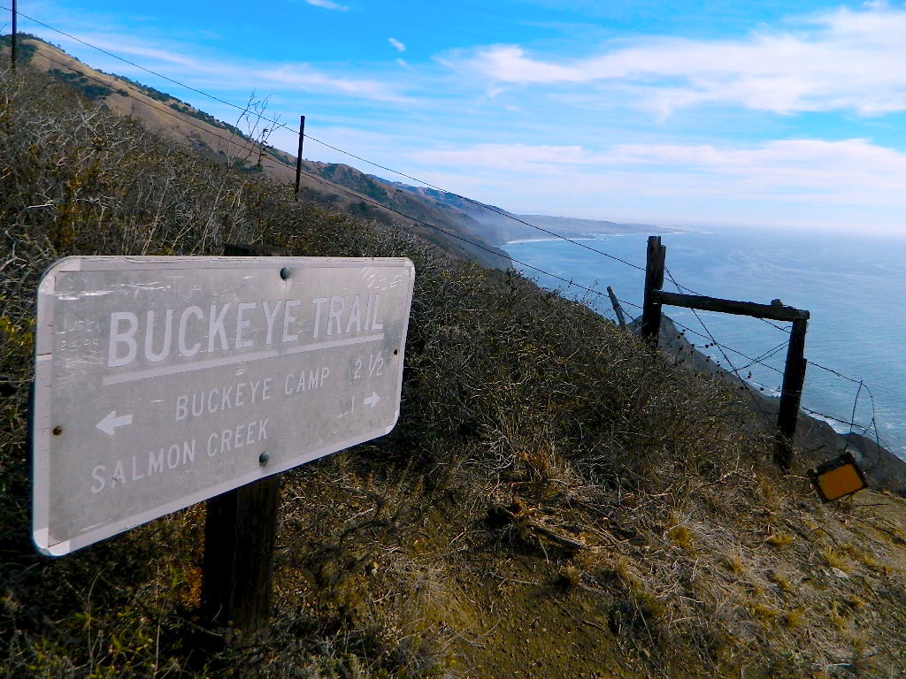
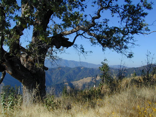
Buckeye Trail in Silver Peak Wilderness
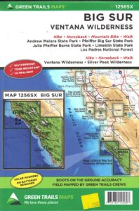
Several map makers offer topographic hiking maps for the Ventana Wilderness Map, located on the super scenic Big Sur coast in California. Silver Peak Wilderness is to the south of Ventana, and usually included on the same map. Perfect for day hikes, overnight backpacking trips or just getting an impressive view of the Pacific Ocean.
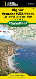
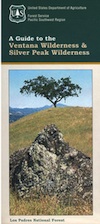
Silver Peak Wilderness located inside the northern section of Los Padres National Forest (Monterey County California)
If you plan on backpacking the Big Sur Coast, this is the California topo map you will need. This map covers both the southern section – Silver Peak Wilderness & the northern most Ventana hiking areas. This map covers everything south and east of Andrew Molera State Park over to Sierra de Salinas near Hwy 101, and southward to Ragged Point & Windy Point in the southern Big Sur coastline. Camp in coastal redwood groves, hike the trails with outstanding views over the Pacific Ocean, and play in the numerous fern lined creeks.
Map printed with vegetable oil based ink, on waterproof polypropylene plastic. Might be available from Los Padres USFS Ranger Stations. USDA printing 2007; Scale 1: 63 – ISBN# 9781593514655

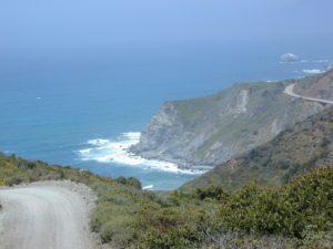
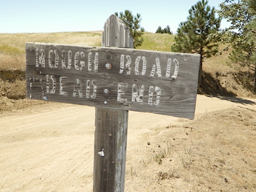
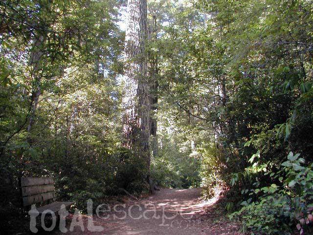
big sur back roads
nearby towns:
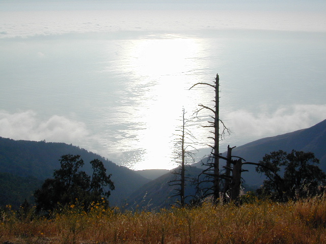
ocean glare afternoons
see also –
Big Sur Books
Big Sur Maps
Los Padres National Forest Maps
Los Padres Forest Atlas
