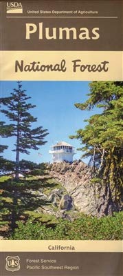
Plumas National Forest Map

Plumas Forest Map

Plumas NF map

Northern Sierra Nevada Mountains, Feather Rivers, Quincy, Blairsden, Bucks Lake, Dixie Mountain, Lake Davis

(see wildfire notes below)

GPS: Longitude & Latitude; Rivers, Creeks, Peaks, Elevations, 4WD & every dirt BackRoad, Hot Springs, Equestrian Areas, all Campgrounds, Hiking Trails & BackPacking Trailheads.

Areas include: Northern Sierra, Quincy, Blairsden, Buck’s Lake Wilderness, Dixie Mountain State Game Refuge, Mount Hough, Lake Almanor, Lake Davis, Lakes Basin Recreational Area, Little Grass Valley Reservoir, New Bullards Bar Reservoir, Sly Creek Reservoir, Lake Oroville, Gold Lake, Butte Valley Reservoir, Antelope Lake, Snake Lake, Round Valley, Feather River. ISBN# 9781628114348

Map Size: 36″x 48″ overall / 4″x9″ folded; Printed on waterproof plastic in 2019

Plumas National Forest Map

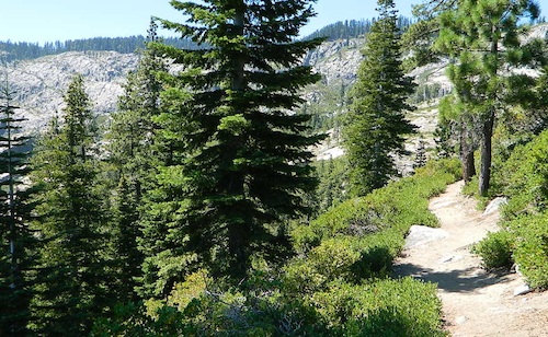
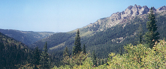
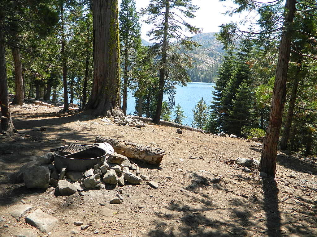
Ridge Trail to Mini Gold Lake, Buck Lake Wilderness

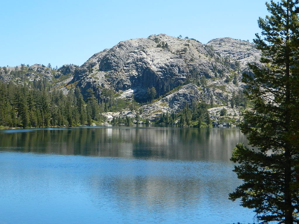
Northern Sierra Nevada / NorCal’s Volcanic Red Mountains
Plumas National Forest

redwood maps

2022 UPDATE: Most of this National Forest has been devastated by recent wildfires. Much of the forest in between Bucks Lake and Oroville is now totally toast. That’s a whopping 50 mile stretch, hence 318,935 acres. Expect campground closures, damaged trails and heavy logging activity. Charred forests also exist all the way around Indian Valley and Lake Almanor, and along Highway 70, east of Quincy, CA

pct

PCT – Pacific Crest Trail is burnt from Bucks Lake to Lassen!

Wild & Scenic Middle Feather River is burnt 40+ miles, from the town of Quincy to Lake Oroville.
Plumas National Forest Map

Graeagle Golf, East of Quincy, CA

Wilderness Areas, Lakes & Recreation Areas
hikers maparound Plumas National Forest:

Antelope Lake
Antelope Valley Wildlife Area
Big Bald Rock
Bucks Lake Wilderness
Butterfly Valley
Crocker Meadows Wildlife Area
Dixie Mountain
Dome Trail @ Middle Feather
Feather River
Middle Fork Feather River Map
Frenchman Reservoir

Lake Davis
Lakes Basin Recreation Area
Little Grass Valley Reservoir
Mount Hough State Game Refuge
Sly Creek Reservoir

Plumas National Forest Map

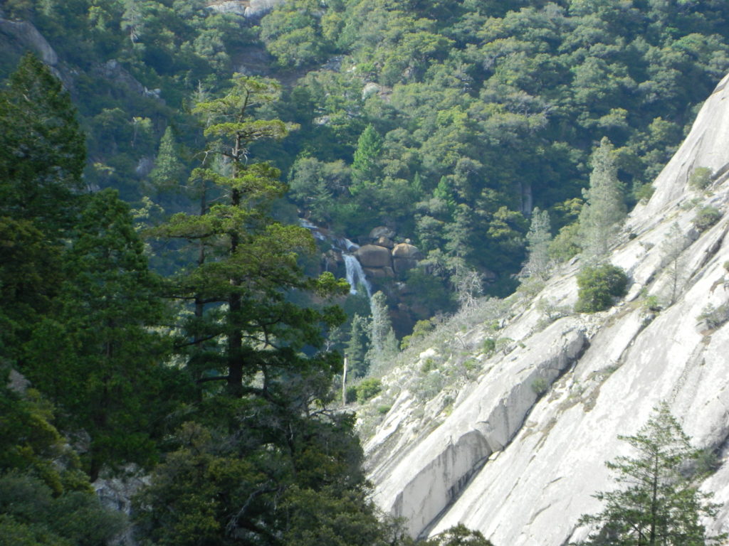
Curtain Falls, from Dome Trail Hike

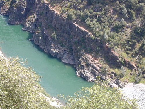
Warning: Neither one of these photos look like this anymore. The Bear Fire wildfire ravaged this canyon of the Middle Fork of the Feather River in 2020.
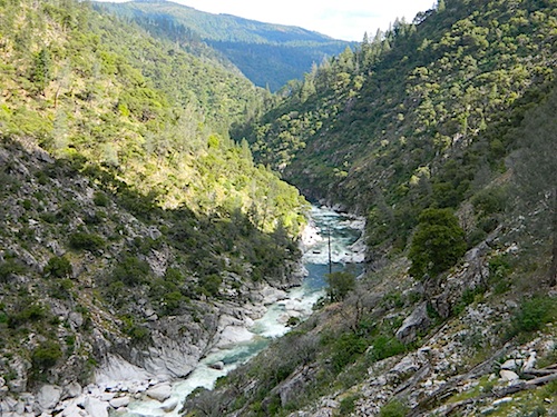
riverfromtrail

Scenic Middle Fork of Feather River, near Berry Creek, CA

nearby towns:

Plumas, National Forest, Map, Fishing, Hiking, Northern Sierra, Quincy, Snake Lake, Blairsden, Buck’s Lake Wilderness, Dixie Mountain, Mount Hough, Lake Davis, Lake Almanor, Gold Lake California, Lakes Basin Recreation Area, Plumas Eureka State Park, Feather River Fishing, Plumas Forest Camping

see also – Plumas Forest Topo Atlas
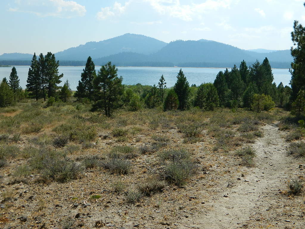
Lake Davis, California

Lake Davis, California

Plumas National Forest Map

Snake Lake Camping, W of Quincy, CA

Tahoe National Forest Map

Tahoe Forest Map

Tahoe Maps / Lake Tahoe California
Tahoe National Forest
USGS map California: Tahoe Map. Lake Tahoe Camping. Sierra Nevada Lakes, Sierra Mountains

Tahoe Maps. Quality USDA maps created for the National Forest Service. Tahoe California Map. Tahoe Area Map. Northern Sierra, Sierraville, Truckee, Stampede Reservoir, Granite Chief Wilderness

GPS: Longitude & Latitude; Rivers, Creeks, Peaks, Elevations, 4WD & every dirt BackRoad, Hot Springs, Equestrian Areas, all Campgrounds, Hiking Trails & BackPacking Trailheads. WATERPROOF MAP. Ranger Map – NFS issued map. ISBN# 9781593514419

Areas include: Northern Sierra, Sierraville, Truckee, Stampede Reservoir, Granite Chief Wilderness, North Lake Tahoe, Hell Hole Reservoir, French Meadows Reservoir, Sugar Pine Reservoir, Donner Lake, Jackson Meadow Reservoir, Bowman Lake, New Bullards Reservoir, Downieville, Highway 49, Gold Country.

sierrabuttes

Sierra Buttes, Yuba River Headwaters

Northern Sierra Nevada Mountains: Tahoe National Forest

Lakes Basin Recreation Area

North Bloomfield, Malakoff Diggins

Gold Country California

Rivers in this Region:

Wilderness Areas nearby:hiker

Desolation Wilderness
Granite Chief Wilderness
Mount Rose Wilderness

Camping & Hiking Lakes in the North Sierra:

nearby towns:

Sierra City, CA

Sierra City, CA

Sawmill Lake

Sawmill Lake, near Donner Pass


Faucherie

Lake Faucherie, near Donner Pass

find more Tahoe maps –

Lake Tahoe Basin Atlas
4×4 Guide Tahoe NF
Sierra Buttes Map
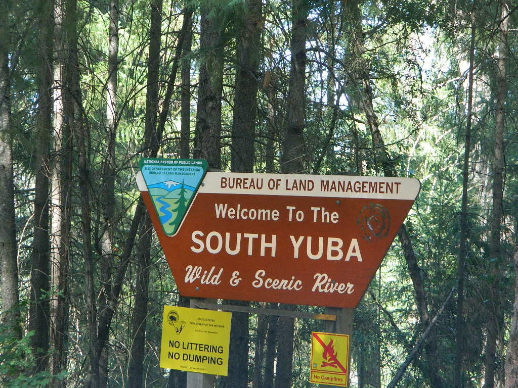
South Yuba River Map
Lake Basin Map

Yuba & American Rivers Map

American River
Yuba River, California 

Yuba American Rivers Map

Yuba & American Rivers
Tahoe NF Map #804 by NatGeo

2 Gold Country Rivers:

Yuba American Rivers MapTrails Illustrated Map from National Geographic. Yuba River & American River inside Tahoe National Forest map #804. Granite Chief Wilderness, Forest Hill Divide, Downieville, New Bullards Bar Reservoir, Pacific Crest Trail (PCT). Mountain bike Trails, routes, hiking trail milage. High country map. Many rivers, roads and trails to explore. 2-sided map. Very detailed & colorful. Waterproof Plastic Map; Tear Resistant. GPS data. Scale = 1:63,360 ISBN#9781566954259

California American River

Yuba American Rivers Map

Topo Map for Gold Country Rivers:
Yuba River & American River 

The Yuba River is located in the northern Sierra Nevada mountains, north Gold Rush Country near Nevada City, California. Three major forks make up this watershed:

  • North fork of the Yuba flows out of the Lakes Basin and Sierra Buttes, paralleling Highway 49 south of Downieville.
  • Middle Yuba fork flows down from the mining camps near Alleghany and above that, Jackson Meadows Reservoir.
  • South Yuba River State Park is the south fork which flows past Highway 49 and down to a historic covered bridge.

Yuba American Rivers Map

fishing map

American River is the main Sierra river flowing into the cities of Auburn and Sacramento. This river is located in the central west Sierra Nevada mountains, the center Gold Rush Country. Three major forks make up this watershed:

  • North fork of the American drains down the mountains, right next to Interstate 80, west of the Donner Pass.
  • Middle fork of the American is the smallest and least accessible, skirting down the deep canyons near Foresthill, flowing down from Mosquito Ridge and the French Meadows Reservoir.
  • South fork of the American comes into Placerville, paralleling the main route of US Highway 50

Yuba American Rivers Map

off road map

see also –

Tahoe National Forest Map 
Tahoe 4×4 Guide Map
Eldorado National Forest Map
South Yuba State Park Map
Lakes Basin Recreation Area Map