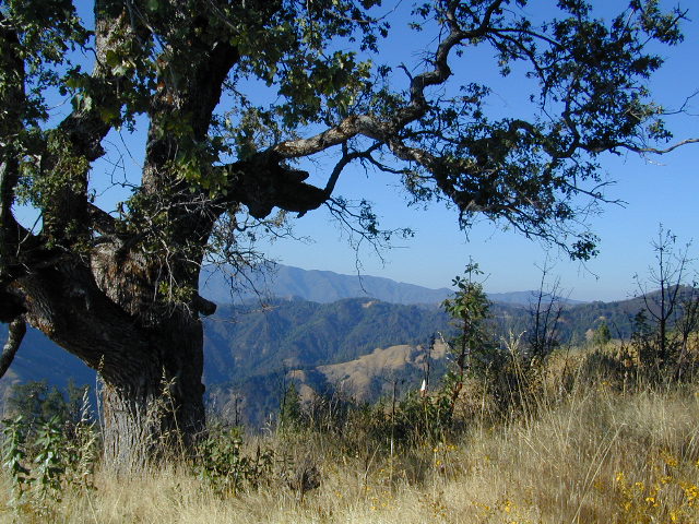
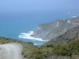
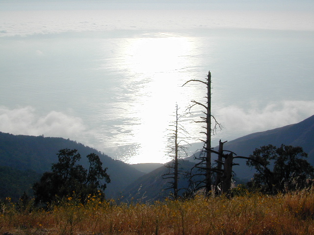
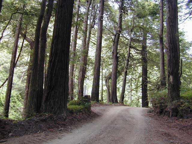
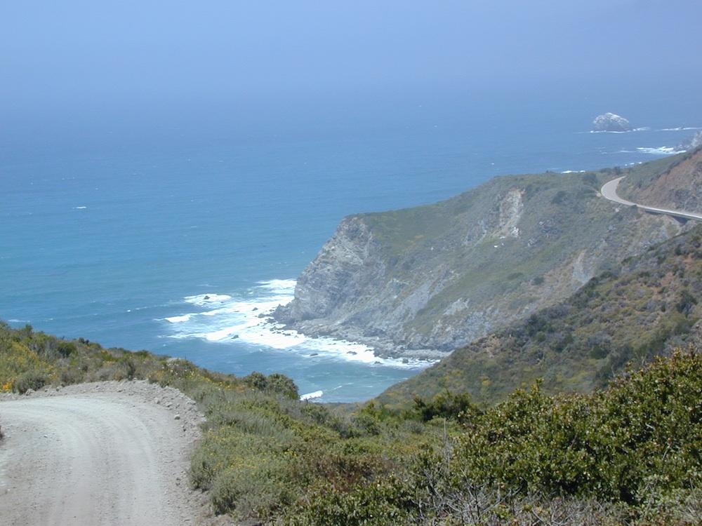
Big Sur Coast, California
Several hiking maps exist for this epic Central Coast region of California
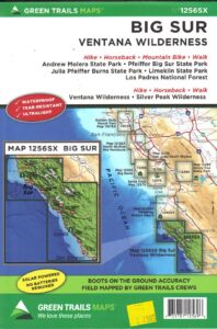
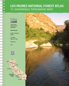
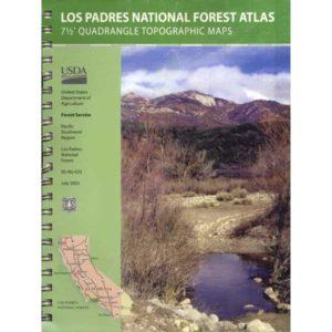
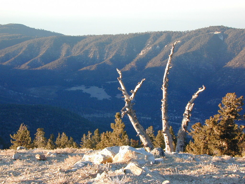
Los Padres NF, Ventana, Gorda, Lucia, Limekiln State Park, Big Sur, CA
- Big Sur Map NatGeo (listed below)
- Big Sur Recreation Map by Wilderness Press (below)
- Los Padres National Forest (North Monterey) USDA Map
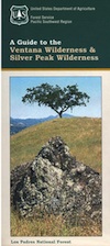
- Ventana Wilderness Map USDA Map; includes the neighboring Silver Peak Wilderness
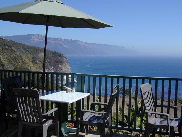
Patio @ Lucia, South Big Sur Coast (burned down recently)
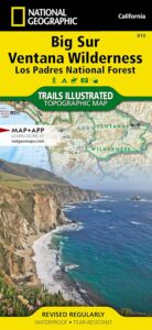
NatGeo Big Sur Map #814

National Geographic Trails Illustrated Topo Map for Big Sur NatGeo
Central Coast Maps, Big Sur Coast, California Big Sur
Big Sur, California Central Coast Map w/ Ventana Wilderness and Los Padres National Forest. Trails Illustrated Map #814 by NatGeo. Silver Peak Wilderness, California Coastal State Parks, Monterey County Parks, PInnacles National Monument. All trails, trailheads, campgrounds, rivers, creeks, forests and parks between Monterey and San Simeon.
OLD EDITION
Andrew Molera State Park, Pfeiffer Big Sur State Park, Big Sur National Wild River, Mill Creek Redwood Preserve, Palo Corona Regional Park, Glendeven Ranch, Joshua Creek Canyon Ecological Preserve, Garrata State Park, Point Lobos Ranch, Point Lobos State Reserve, Carmel River State Beach, Asilomar State Beach, Fort Ord Dunes State Park, Toro Regional Park, Garland Ranch Regional Park, Cachagua Community Park, Miller Canyon, Bottchers Gap Campground, Tassajara, Arroyo Seco, Gabilan Range, Salinas River, Sierra de Salinas, Julia Pfeiffer Burns State Park, Monterey Bay National Marine Sanctuary, Limekiln State Park, Alder Creek Campground, John Little State Reserve, Slate Hot Springs, Santa Lucia Range, Cone Peak Gradient, Sand Dollar Beach, Jade Cove Big Sur Coast, Fort Hunter Liggett Military Base, San Antonio Pedira, Nacimiento Road, Nacimiento-Fergusson, Salmon Creek Road, Silver Peak Wilderness, Los Burros Road, Willow Creek, Plaskett Creek Campground, Coastal Highway 1 and US Route 101 on Central Coast California.
Printed on waterproof plastic in 2012. ISBN# 9781566955782
![]() get a digital version of this map
get a digital version of this map
NatGeo Map 814 – Big Sur Map
This Central California Coastal region covers the north end of Los Padres National Forest, Ventana and Silver Peak Wilderness, Pinnacles National Monument, much of Fort Hunter Liggett, plus nearby State Parks – Andrew Molera State Park, Garrapata State Park, Julia Pfeiffer Burns State Park, Pfeiffer Big Sur State Park, Point Sur State Historic Park, Limekiln State Park, Point Lobos State Reserve & California Sea Otter Game Refuge.
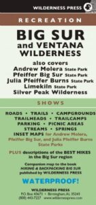
Wilderness Press Map Big Sur

This recreation map for the California Central Coast includes all of the Big Sur coastline with Ventana & Silver Peak Wilderness.

digital maps for download
USFS Topo Map – Big Sur California
USFS Topo Map – Los Padres NF, Big Sur Visitor Map
USFS Topo Map – Tassajara Hot Springs
Redwood Hikes Press Map – Andrew Molera State Park
USGS Topo Map – Big Sur, CA (free)
USGS Topo Map – Cone Peak (free)
USGS Topo Map – Ventana Cones (free)
USGS Topo Map – Monterey, CA (free)
USGS Topo Map – Carmel Valley, CA (free)
USGS Topo Map – Partington Ridge (free)
beaches, forest, state parks & wilderness areas along this coastline:
Andrew Molera State Park
Julia Pfeiffer Burns State Park
Limekiln State Park
Los Padres National Forest
Pfeiffer Beach
Pfeiffer Big Sur State Park
Sand Dollar Beach
Silver Peak Wilderness
Ventana Wilderness
nearby towns: