Death Valley Books

Death Valley Road Trip, Camping Death Valley National Park, Mojave Desert California
Death Valley Books

Dante’s View, DVNP

Hiking Book DVNP

Moon Death Valley Book

DVNP Photographers Book

Off Road Death Valley

wildflowers death valley

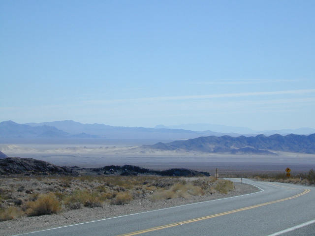
Death Valley is a desert valley in Eastern California, in the northern Mojave Desert, bordering the Great Basin Desert. It is one of the hottest places on Earth.

Bad Water

The Badwater Basin is the point of lowest elevation in North America, at 282 feet below sea level. It is located 85 miles east-southeast of Mount Whitney, the highest point in the contiguous United States, with an elevation of 14,505 feet.

Tallest Peak

The highest point in Death Valley National Park is Telescope Peak, in the Panamint Range, which has an elevation of 11,043 feet. This is one of the few spots that you can see the lowest point and the highest peak in the lower 48 states.

Lying mostly in Inyo County, California, near the border of California and Nevada, in the Great Basin, east of the Sierra Nevada mountains, Death Valley constitutes much of Death Valley National Park and is the principal feature of the Mojave and Colorado Deserts Biosphere Reserve. It runs from north to south between the Amargosa Range on the east and the Panamint Range on the west; the Grapevine Mountains and the Owlshead Mountains form its northern and southern boundaries, respectively. It has an area of about 3,000 sq miles.

Desert Climate

Death Valley has a subtropical, hot desert climate, with long, extremely hot summers; short, mild winters; and little rainfall.

The valley is extremely dry, because it lies in the rain shadow of four major mountain ranges (including the Sierra Nevada and Panamint Range). Moisture moving inland from the Pacific Ocean must pass eastward over the mountains to reach Death Valley; as air masses are forced upward by each range, they cool and moisture condenses, to fall as rain or snow on the western slopes. When the air masses reach Death Valley, most of the moisture has already been lost and there is little left to fall as precipitation.

Explore Death Valley

Geology of Death Valley

ghost towns death valley

History of Death Valley

Road Guide DVNP

see also

Death Valley Topo Map
Benchmark California Atlas
Inyo National Forest Map
Inyo Forest Topo Atlas
Jawbone Canyon Map

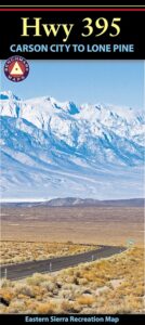
US 395 map

Amargosa Opera House @ Death Valley Junction
Death Valley Books

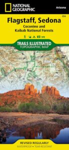
Flagstaff Sedona Map

NatGeo Trails Illustrated
Flagstaff Sedona Map #856

NatGeo AZ map

Sedona Camping & Hiking Trails
Flagstaff Arizona, Sedona, AZ Hikes, Campgrounds

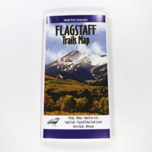
Map covers Coconino National Forest, Kaibab National Forest, South Rim Grand Canyon, Kachina Peaks, Kendrick Mountain, Strawberry Crater Wilderness Area, San Francisco Peaks, Arizona Trail, Game Management Units, Cinder Hills OHV Area. GPS Compatible, Full UTM Grid. National Geographic, Waterproof Plastic Map, ISBN# 9781566955157

Flagstaff Sedona MapSedona Map of Arizona, Northern Arizona Tourism, Arizona Maps, Flagstaff AZ, Flagstaff Hiking, Camping North AZ
Flagstaff Sedona Map

Trail Map Flagstaff

see also – 

Grand Canyon Maps
Mojave National Preserve Map

Red Rock Canyon Vegas
Lake Mead NRA Map
Anza Borrego Desert Map
San Diego Backcountry Maps

Mojave Desert Maps

Mojave Desert Maps / Mojave Camping
Historic Mojave Trail

We have a nice spread of desert topographic maps listed below for the Mojave Desert region of California. Whether you want to hike, mountain bike, camp, climb, play on the sand dunes or just relax and stargaze, we have you covered. The centrally located historic train station, the Kelso Depot, has been totally restored and is now the area’s Visitors Center.

Camping Map Mojave

Free Camping in the Boulders, off Kelbaker Road, N of I-40.

Mojave National Preserve Map
by Tom Harrison Maps

Tom Harrison Mojave Desert Recreation Map: Mojave National Preserve Essex California, Mojave Desert Trails; Cima Dome, Mojave Road, Hole in the Wall, Rings Trail Hike Mojave, Mid Hills, Mid-hills, Providence Mountains, New York Mountains, Kelso Dunes, Kelso Depot, Kelso Road Map Mojave. Durable, waterproof plastic map; Folded. Map Scale: 250K; ISBN# 9781877689369

avenza maps

download digital version of this map –

Tom Harrison Map – Mojave National Preserve

Mojave Desert Maps

Mojave National Park Map #256
NatGeo California Desert Maps

Trails Illustrated Map from National Geographic. Mojave National Preserve Park map #256.

Camping, hiking and stargazing. Sand dunes, lava tubes and dirt roads! Providence Mountains State Recreation Area, Cinder Cone Lave Beds, Kelso Depot Visitors Center, Cima Road, Kelso Dunes, New York Mountains. Back Roads Mojave, Back Country Hiking Map. Scenic Drives to explore. Very detailed & colorful. Waterproof Plastic Map; Tear Resistant. GPS data. ISBN#749717012561

digital maps

download digital version of this map –

NatGeo Map 256 – Mojave National Preserve Park

driftwood

  • mapsbackpacking
  • camping
  • climbing
  • hiking
  • lava tubes
  • mountain biking
  • off-roading
  • old mines
Hiking Climbing US 395 Mojave

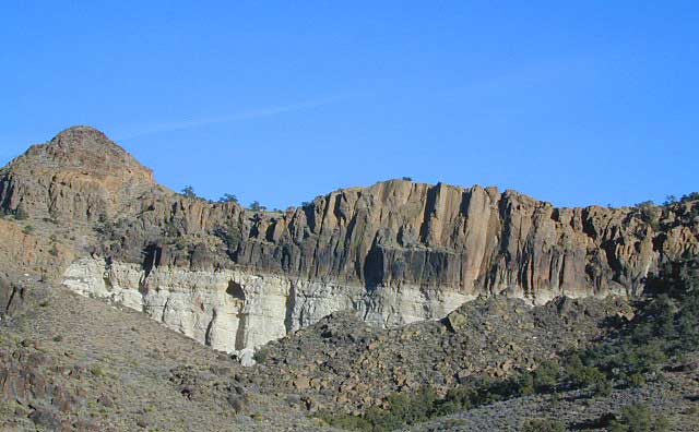
Fossil Falls @ US 395 Mojave

Mojave Road Map & Guide

jawbone canyon trail maps
Jawbone Canyon

North Mojave Desert, US Hwy 395 @ Hwy 14

Jawbone Cyn Map / OHV routes / Randsburg Ghost Town / Old Mines & Tunnels / Joshua Trees / Pinyon Pines / Red Rock Canyon

Jawbone OHV Map
Jawbone Canyon OHV North Mojave Desert Map; Topo features, Waterways, Trails & Roads. Motorized & no-motorized trails. Eastern Kern County High Desert. Spangler Hills OHV, Trona Pinnacles National Monument, Randsburg Mining District, 4×4 OHV, Red Mountain, Johannesburg, Red Rock Canyon State Park, Last Chance Canyon, El Paso Mountain Wilderness, Desert Tortoise Preserve, Kiavah Wilderness, Dove Springs OHV, Bright Star Wilderness, Tehachapi Loop, Walker Basin, California City, BLM Camping Mojave California Desert Trails, Southern Sequoia National Forest OHV; 2008 Map by Friends of Jawbone w/ California Trail Users Coalition


Death Valley, Inyo Mts & Saline Valley

And alas, Death Valley National Park is part of the much larger Mojave Desert. Find Death Valley Maps and Death Valley Books. Inyo Mountains separate US 395 (the Owens Valley) from Death Valley, so Inyo National Forest may also be included as a Mojave Desert map. See all the topo quads on the spiral bound Inyo National Forest Atlas.

Off Road Routes to Hot Springs

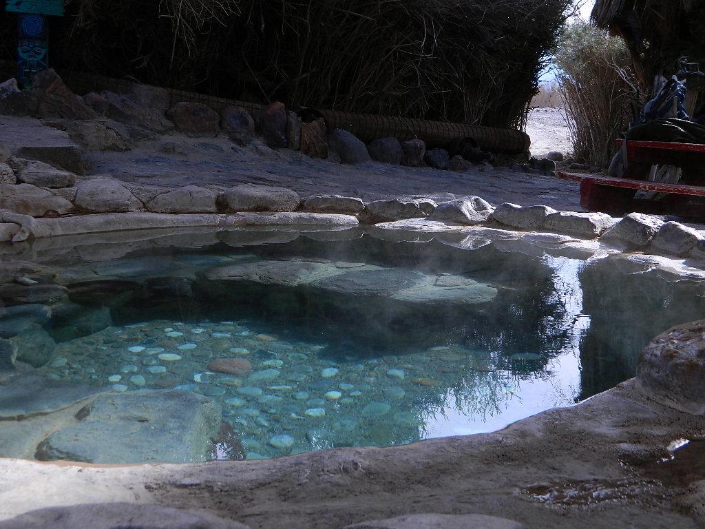
Saline Hot Pools @ Saline Valley, DVNP

Download Digital Maps

download digital maps of the Mojave desert

CTUC Amboy OHV Map
CTUC Inyo National Forest South (free)
CTUC Mojave Desert OHV Map
CTUC Needles CA OHV Map
CTUC Panamint Valley OHV Map
CTUC San Berdu & Barstow BLM Map

BLM Topo Map – AZ Lake Havasu Guide (free)
BLM Topo Map – AZ Havasu Palms, Sara Park (free)
NPS Map Brochure – Death Valley (free)
NPS Map Brochure – Lake Mead NRA (free)
NPS Map Brochure – Mojave NP (free)
USGS Topo Map – KINGMAN, AZ (free)

Mojave Canyon Maps BLM

Fossil Falls Canyon BLM – Cinder Road @ US Hwy 395