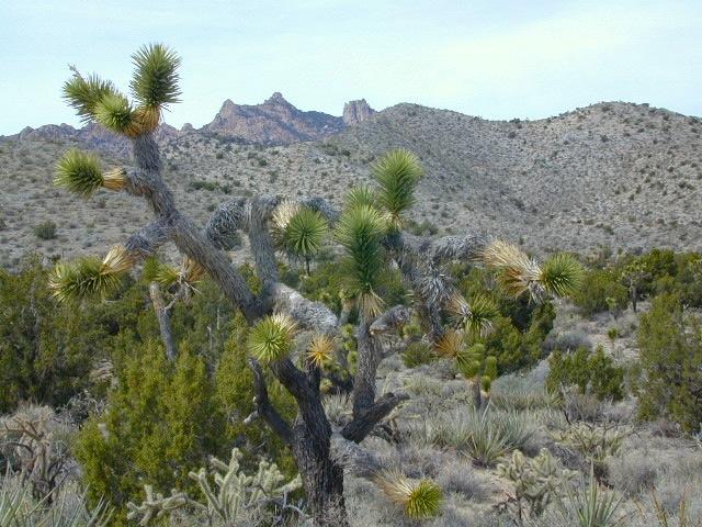
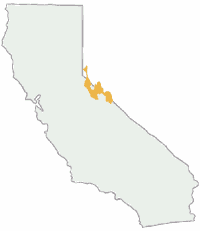
Several areas of Humboldt Toiyabe National Forests span the California eastern state border with Nevada. In the south near Las Vegas with Spring Mountains @ Mt Charleston, all the way up to Mono Lake @ the Eastern Sierra mountains, and even further north to include all forest south of Lake Tahoe.
Toiyabe National Forest Map: North

Toiyabe NF Map: North
Toiyabe – Carson Ranger District, also known as Humboldt-Toiyabe; Humboldt Toiyabe National Forests
Northern Sierra California, Eastern Sierra, Lake Tahoe Basin, Grover Hot Springs, Carson Range, Mount Rose, Walker River
OLDER MAP
PLASTIC MAP; water & tear resistant. Ranger Map – NFS issued map. GPS: Longitude & Latitude; Rivers, Creeks, Peaks, Elevations, 4WD & every dirt BackRoad, Hot Springs, Equestrian Areas, all Campgrounds, Hiking Trails & BackPacking Trailheads.
Areas include: Northern Sierra California, Lake Tahoe Basin, Tuolumne County, Alpine County, Mono County, Placer County, Reno Nevada, Sparks, Carson City, Bridgeport, Carson Range, Mount Rose, Walker River, Carson Iceberg Wilderness, Mokelumne Wilderness, Leavitt Meadows, Ebbetts Pass, Topaz Lake, Grover Hot Springs, Upper Blue Lake, Lower Blue Lake, Fallen Leaf Lake. Map Size: 27″x 36″ overall / 4″x9″ folded; Printed on plastic in 2006. ISBN# 9781593513344
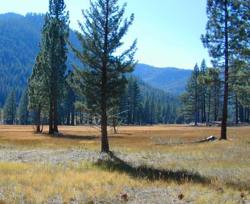
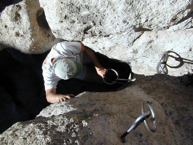
Meadows near Grover Hot Springs State Park

Wildfire has recently burnt the forest regions all around Markleeville and Grover Hot Springs, as well as areas near US Hwy 395. Trails and campgrounds could be closed for repair work.
Tamarack Fire 2021
nearby towns:
![]()
Toiyabe National Forest Map: South
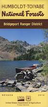 Toiyabe – Bridgeport Ranger District, also known as Humboldt-Toiyabe; Humboldt Toiyabe National Forests
Bridgeport Map / Bridgeport Lakes / Toiyabe NF / Eastern Sierra California
Mono Lake, Lee Vining, Bridgeport, East Walker River, Lundy, Twin Lakes, Virginia Lakes, Hoover Wilderness
PLASTIC MAP PAPER; water & tear resistant. Ranger Map – NFS issued map. GPS: Longitude & Latitude; Rivers, Creeks, Peaks, Elevations, 4WD & every dirt BackRoad, Hot Springs, Equestrian Areas, all Campgrounds, Hiking Trails & BackPacking Trailheads.
Areas include: Eastern Sierra, Northern Sierra California, Alpine County, Mono County, Lee Vining, Bridgeport, East Walker River, Virginia Lakes, Trumbull Lake, Hoover Wilderness, Carson Iceberg Wilderness, Wellington Hills NV, Pine Grove NV, Aurora Canyon, Bodie ghost town, Twin Lakes, Topaz Lake, Mono Lake, Lundy Lake, Bridgeport Reservoir, Western Nevada, Douglas County. Map Size: 31″x 36″ overall / 4″x9″ folded; Printed on plastic in 2014. ISBN# 9781593513337

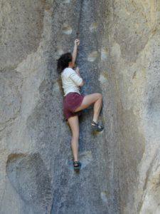
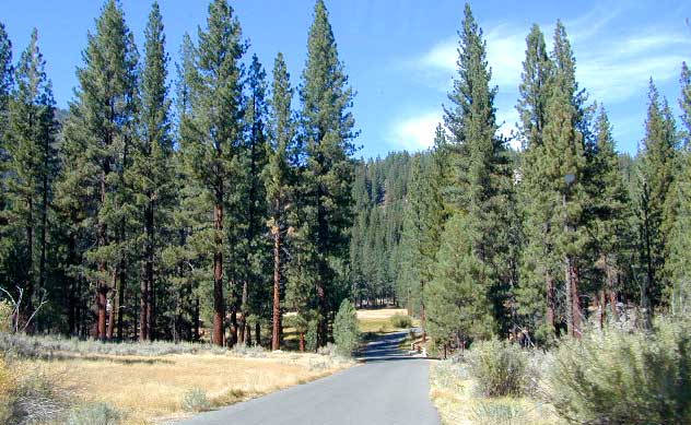
Twin Lakes, next to Bridgeport in California’s Eastern Sierra
nearby towns:

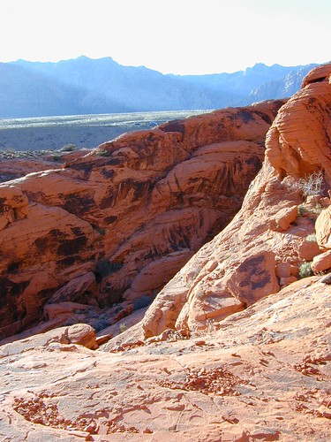
Area near Las Vegas NV with Spring Mountains, Mt Charleston, Red Rock Canyon.