Snow Mountain Wilderness Map

Snow Trails Northern Cal

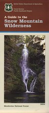
Snow Mountain Wilderness Map USDA

California Snow Mountainhikers map


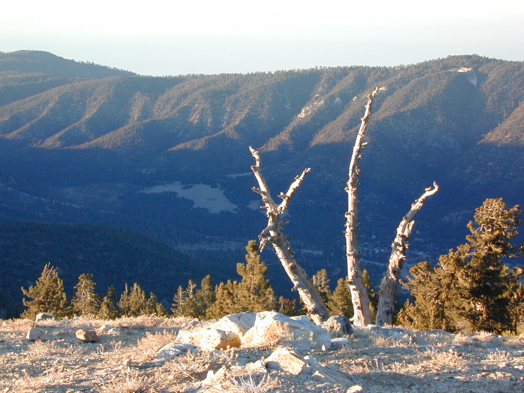
Snow Mountain Wilderness, Mendo

Wildfire recently burnt 100% of the land on Snow Mountain
Mendo Complex / Ranch Fire 2018

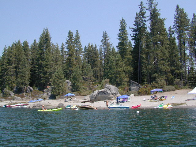
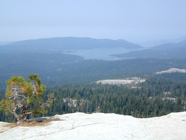
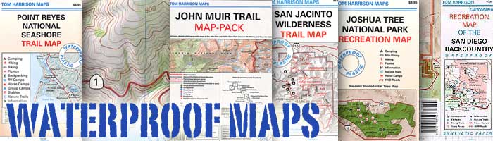
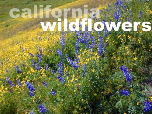
Wildflowers should be very decent in the aftermath of the fire. Snow Mountain of Mendocino National Forest, the east side. Perfect for a day hike reference or extended backpacking adventures. Meadows are called GLADES, in the Mendocino Forest region. OHV trails surround the lower elevation, eastern part of this mountain. Big thunderstorms are possible in summer! Waterproof plastic map, tear resistant, printed in 2004. Map Scale = 1:126,720. ISBN# 9781593514259

youtube200

Snow Splitboarding Videos
by Dustin Boone

nearby towns:

see also –
Mendocino National Forest Map USDA
Yolla Bolly Wilderness Map

Snow Mountain Wilderness

Shaver Lake Map

Shaver Lake
Sierra NF NatGeo Map #810

Shaver Lake is located in the Central Sierra, on the west side of the range, way up above Fresno, CA. Numerous alpine lakes and wilderness trailheads can be accessed via Highway 168 and the side route of Dinkey Creek Road. They even have a Sequoia Grove up here!

Shaver Lake Map, Huntington Lake, Sierra National Forest maps from National Geographic. 4×4 routes around the central Sierra Nevada. Dinkey Lakes Wilderness, Kaiser Wilderness, Rancheria Falls, Black Point, Lewis Creek Tamarack Creek, Red Mountain, Red Lake, Sierra Vista Scenic Byway, Sierra Heritage Scenic Byway. Hiking, mountain biking, horse back & OHV trails. Lake trails, wilderness trail, loop trail, lake campgrounds. Two sides, waterproof & tear resistant. National Geographic Map #810; Scale 1:63,360 / 1 inch = 1 mile. ISBN# 9781566952422

Shaver Lake Map

Shaver lake map

Shaver Beaches

Shaver Lake Map

see also –
Dinkey Lakes Maps
Kaiser Wilderness Map
Mono Divide Trail Map
Sierra National Forest Maps
Sierra Forest Topo Atlas

Shaver Lake Map

Bald Mountain Views

Wildfire has recently ravaged about half of this National Forest, from Shaver Lake to Mammoth Pool Reservoir; Kaiser Wilderness, San Joaquin River, Huntington Lake, all the way out to Lake Edison. Many areas could be closed to logging and fire cleanup. Check with USFS for specifics.
Creek Fire 2020

nearby locations –4x4 maps

Marin Hiking Maps

Marin Hikes: Bay Area Trail Maps

Marin Hiking Maps

Tom Harrison Maps for Marin County

Marin Hiking Maps

Tom Harrison makes the most topographic trail maps for the San Francisco Bay Area, which include hiking, mountain biking routes as well as trail camps and campgrounds. Printed on waterproof plastic, the durable outdoor maps are known to last decades and are indeed, tear-resistant.

North Marin, Novato Map

Marin Hiking Maps

Tom Harrison Trail Map: Marin Hiking Trails, North Marin County, Novato California Hikes. Rush Creek, Marin Deer Island, Indian Tree, Little Mountain, Verissimo Hills, Stafford Lake County Park, Olompali State Park, Petaluma Marsh, Mount Burdell. Petaluma Hikes Marin. Durable, waterproof plastic map; Folded. Map Scale: 24K; ISBN# 9781877689963

Marin Hiking Maps

Marin Hiking Maps

Central Marin, San Rafael Map

2022 currently unavailable on Amazon

Marin Hiking Maps

Tom Harrison Trail Map: Marin Hiking Trails, Central Marin, San Rafael California Hikes. China Camp State Park, Terra Linda, San Pedro Mountain, Sleepy Hollow, Corte Madera Marsh, Sun Valley Hikes, Fairfax, California, Ross Valley, Greenbrae, Baltimore Canyon Preserve, Blithedale Summit, King Mountain, San Pedro Mountain. Durable, waterproof plastic map; Folded. Map Scale: 24K; ISBN# 9781877689949

Marin Hiking Maps

Southern Marin Hiking Map

Southern Marin County Hiking Map, Marin Redwood Forests, Marin Topo Map. Mill Valley Trails, Fort Baker, Ring Mountain Trails, Horsehill Preserve Marin Headlands, Tiburon Peninsula, Rodeo Valley, Oakwood Valley, Tennessee Valley mountain bike trails, equestrian, paragliding spots, parasail, biking trailheads Marin beaches, backpacking topos, beach waterfalls. Mountain Biking Maps. Tom Harrison; Mill Valley Hiking Maps. Durable, waterproof plastic map; Folded. ISBN# 9781877689901

Marin Hiking Maps

hiking

Marin Hiking Maps

Los Padres Map South

Los Padres National Forest Map: South

NFS – USDA – U.S. Forest Service

Los Padres Forest Map, Gorman, Frazier Park, Mt Pinos, Sespe Wilderness, Mount Pinos Recreation Area, Ojai & Santa Barbara Ranger Districts. Waterproof Map; water & tear resistant. GPS: Longitude & Latitude; Rivers, Creeks, Peaks, Elevations, 4WD & every dirt BackRoad, Hot Springs, Equestrian Areas, all Campgrounds, Hiking Trails & BackPacking Trailheads.

Areas Include: Central Coast California, Santa Barbara, Frazier Park, Ojai, Sespe Wilderness, Hungry Valley Park. Ranger Map – NFS issued map. GPS: Longitude & Latitude; Rivers, Creeks, Peaks, Elevations, 4WD & every dirt BackRoad, Hot Springs, Equestrian Areas, all Campgrounds, Hiking Trails & BackPacking Trailheads. Areas include: Central Coast California, Ventura County, Santa Barbara County, Goleta, Ojai, Frazier Park, Lockwood Valley, Sespe Wilderness, Camp Scheideck, Reyes Peak & Reyes Creek, Condor Sanctuary, Santa Ynez Mountains, San Rafael Wilderness, Chumash Wilderness, Dick Smith Wilderness, Hungry Valley State Vehicular Recreation Area, Jameson Lake, Pyramid Lake, Ozena, Sespe Hot Springs.

Map Scale = 1:126,720. Size: 27″x 48″ overall / 4″x9″ folded; Printed on plastic waterproof. ISBN# 9781593515195

Camping Piru Creek

Los Padres National Forest

4x4 mapsExcellent mountain biking trails on Mount Pinos. Chumash Wilderness is accessible via Quatal Canyon, a long red dirt road with abundant scenery. Sespe Hot Springs requires a very long hike in, best done as an overnight backpacking trip. Camp O Alto is the ridge top campground at Mount Able.  Miller Jeep Trail 4×4 Route, is located off of Lockwood Valley Rd. 4×4 Camping on Tecuya Mountain near Cuddy Valley. Free Campgrounds can be found in Los Padres.

pmcfromtop

Pine Mountain Club, as seen from top of Mount Pinos, CA

nearby towns:

wildflowers

Los Padres is wildflower country

see also – NatGeo Los Padres East Map