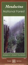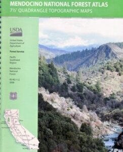
Mendocino Topographic Atlas USDA
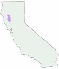
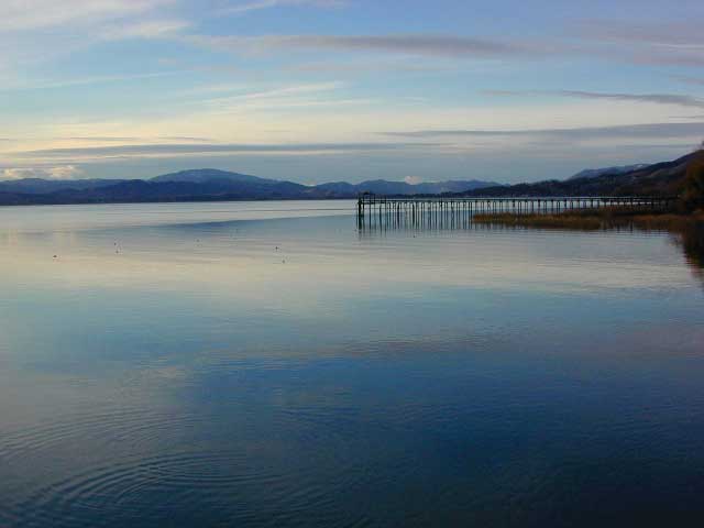
NorCal Coastal Forests / Clear Lake California
The MENDOCINO National Forest Atlas, is a spiral bound book – a collection of all the quads. (7½minute topographical maps, of all of Mendo National Forest, California) This book map has detailed topo lines, mountain peaks, streams, lakes, hiking trails & back roads. Perfect for all kinds of recreational needs. Printed in 2016. ISBN# 9781628114201
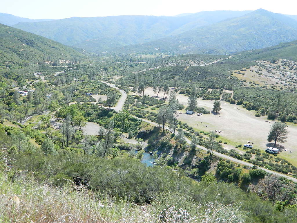
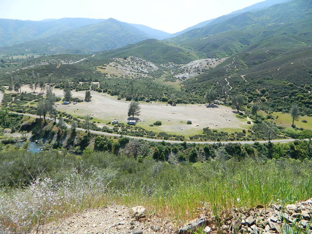
Fouts Springs Camping Area, Mendocino Forest – the EAST SIDE
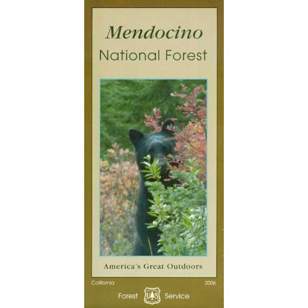
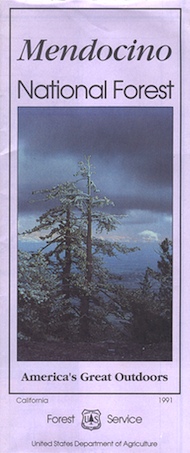
Mendocino National Forest QUADS:
–from south to north – 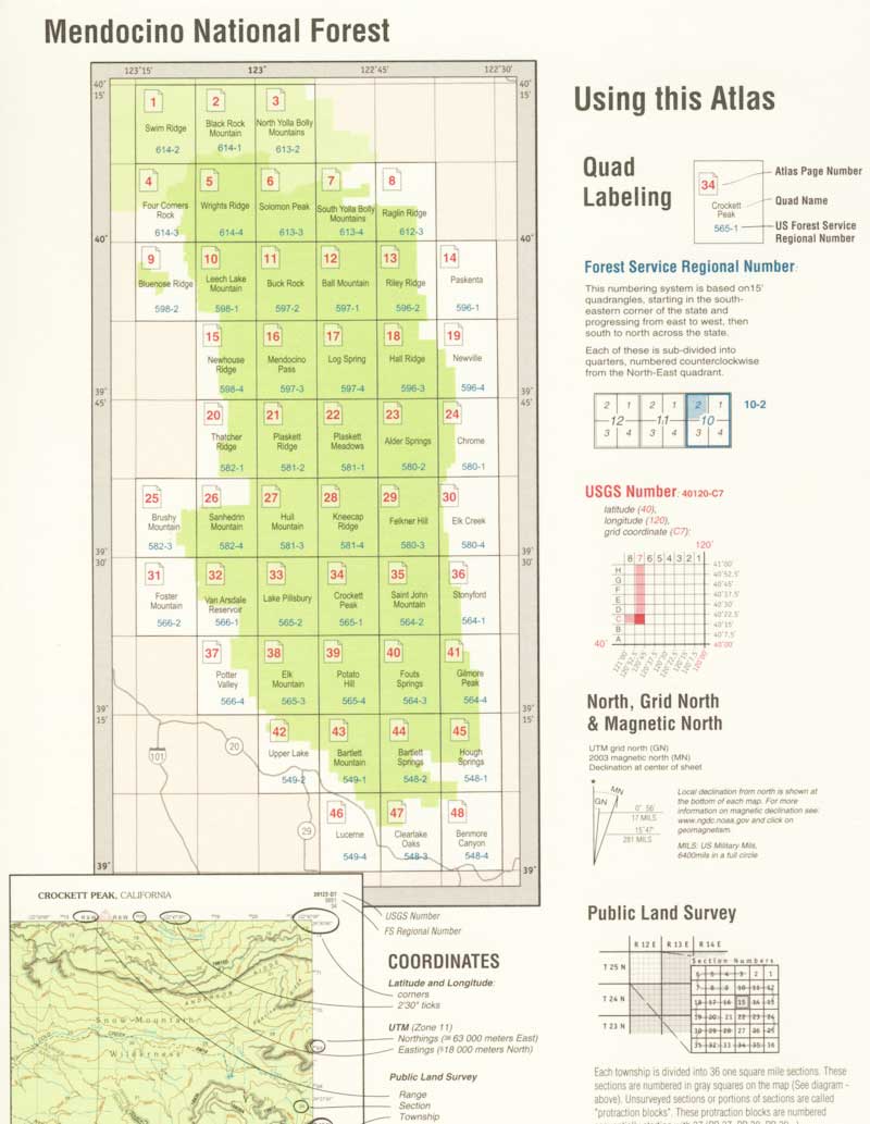
- Benmore Canyon
- Clearlake Oaks
- Lucerne
- Hough Springs
- Bartlett Springs
- Bartlett Mountain
- Upper Lake
- Gilmore Peak
- Fouts Springs
- Potato Hill
- Elk Mountains
- Potter Valley
- Foster Mountain
- Van Arsdale Reservoir
- Lake Pillsbury
- Crockett Peak
- Saint John Mountain
- Stonyford
- Elk Creek
- Felkner Hill
- Kneecap Ridge
- Hull Mountain
- Sanhedrin Mountain
- Brushy Mountain
- Chrome
- Alder Springs
- Plaskett Meadows
- Plaskett Ridge
- Thatcher Ridge
- Newhouse Ridge
- Mendocino Pass
- Log Springs
- Hall Ridge
- Newville
- Paskenta
- Riley Ridge
- Ball Mountain
- Buck Rock
- Leeche Lake Mountain
- Bluenose Ridge
- Four Corners Rock
- Wrights Ridge
- Soloman Peak
- South Yolla Bolly Mountains
- Raglin Ridge
- North Yolla Bolly Mountains
- Black Rock Mountain
- Swim Ridge
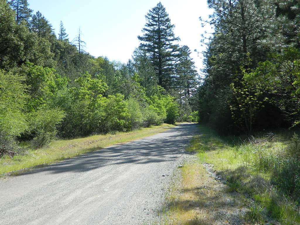
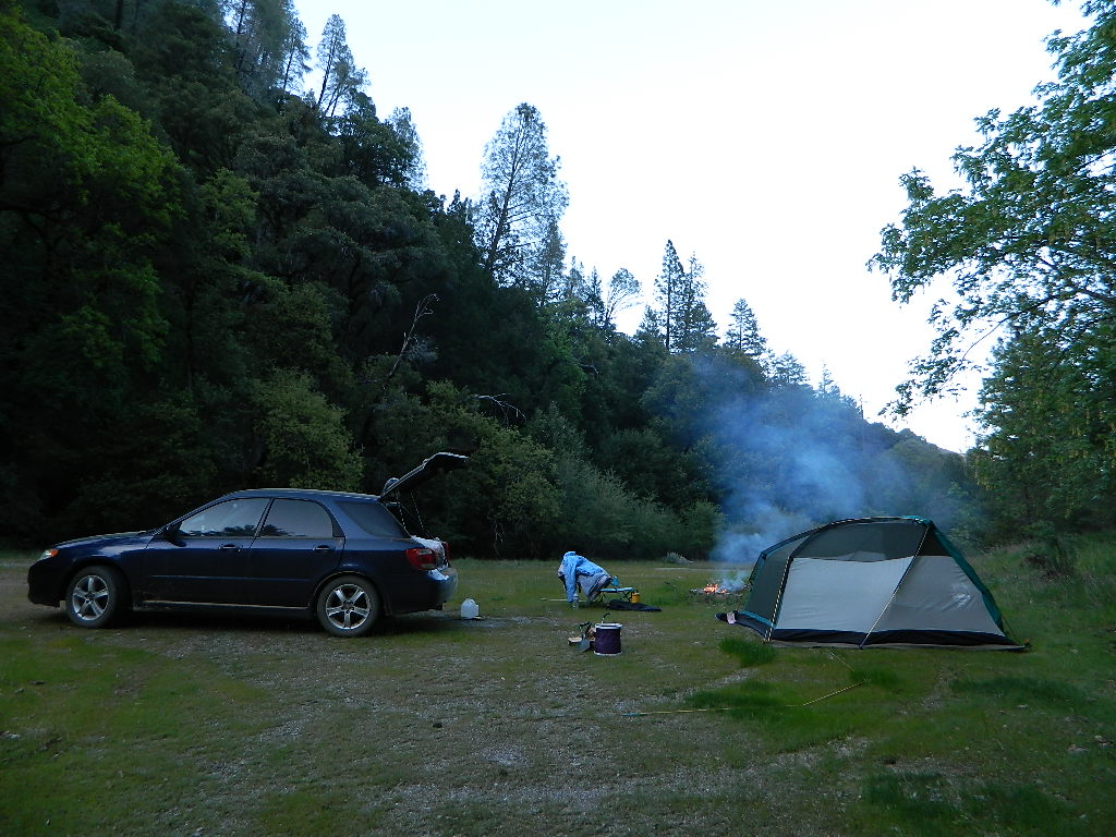
Dirt Roads = Secluded Camping
2021 UPDATE: Much of this coastal mountain National Forest was ravaged by wildfire both in 2018 and in 2020, so expect to have limited access for a while.
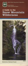
Ranch Fire (2018), part of the larger Mendocino Complex fire, took out all the southern end of the forest, including the Snow Mountain Wilderness.
459,123 acres burned in 2018
https://en.wikipedia.org/wiki/Mendocino_Complex_Fire
https://en.wikipedia.org/wiki/August_Complex_fire
Lightning strike wildfires began in mid-August 2020, wiping out the other half of the forest. With the limited fire fighters during the pandemic, the wildland fires ranged for months, filling the whole of Northern California with thick and toxic smoke. The massive August Complex fire is now the largest in state record – with over a million acres burned.
1,032,648 acres burned in 2020
Needless to say, there will closures on many roads throughout this Mendocino NF region, due to fire cleanup, repairs and salvage logging. This includes some campgrounds, lakes, and meadows (or glades as they call them). Contact the local ranger station to find out what is open and when. Gated roads may be found throughout this forest.
Primitive Camping Road #308
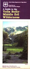 Yolla Bolly Map / Middle Eel Wilderness