Sequoia Kings Recreation Map

Sequoia Kings Recreation Map
Sequoia & Kings Canyon National Parks
Tom Harrison Maps
Sequoia Kings Recreation Map

Sequoia Recreation Map Backpacking Trails. Includes both Sequoia & Kings Canyon National Parks, CA Recreation Map. Areas include: Lodgepole Campground, Mineral King Canyon, Giant Forests, Grant Grove Sequoia, Ash Mountain, Silver City California, Crystal Cave Sequoia, Mount Whitney. Durable, waterproof plastic map; Folded. Map Scale: 125K; ISBN# 9781877689499

avenza mapsdownload digital version of this map –
Sequoia & Kings Canyon NP Map
Sequoia Kings Recreation Map

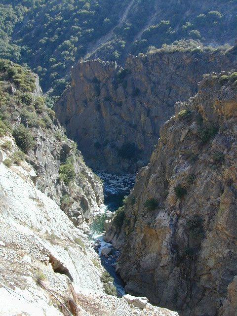
Kings River Gorge

Sequoia Kings Recreation Map

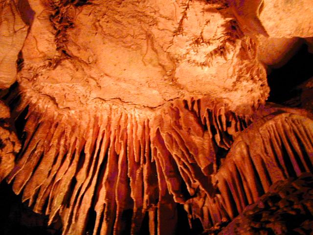
Crystal Cave, Sequoia NP

see also –

Kings Canyon Highcountry
Mineral King Canyon Map
Sequoia Kings NP NatGeo Map
Sequoia NF Map USDA
National Parks

Two National Parks, side by side

Wawona Map

NatGeo Map #306
Yosemite SW – Wawona & Yosemite Valley

Yosemite Southwest Map

Wawona Map – CA Highway 41: NatGeo Trails Illustrated Yosemite SW, Wawona Map #306. Yosemite Valley, Half Dome, Vernal Fall, Glacier Point, Tamarack Flat, Mariposa Grove, Chilnualna Falls, White Wolf, Merced River, Bridalveil Fall, Chowchilla Mountains, El Capitan, Illilouette Falls, Lower Yosemite Fall, Nevada Fall, Ribbon Fall, Sierra National Forest, Silver Strand Falls, Stanislaus National Forest, Upper Yosemite Falls. Yosemite South Entrance @ California SR 41

1:40,000 scale; GPS Compatible, Full UTM Grid. 2 sided. Waterproof map. ISBN# 9781566953627

Yosemite National Park


Wawona Map

Wawona Map

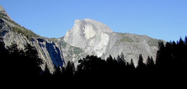
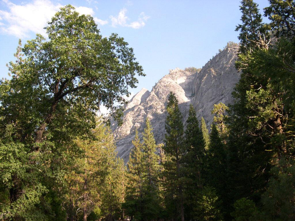
Valley Oaks in Yosemite NP

Wawona Map

OLDER EDITION

nearby destinations –hikers map

see also –
All NatGeo Yosemite Maps

Bass Lake Topo Map

Bass Lake Topo Map

Kings Canyon High Country Map

Kings Canyon Topo Map

Kings Canyon Wilderness Map

Tom Harrison Trail Map: Kings Canyon High Country Trail Map. Areas include: Rae Lakes, Paradise Valley, Cedar Grove, Kearsarge Pass, LeConte Canyon, Crown Valley, Tehipite Valley, Blackcap Basin; John Muir PCT Wilderness Map, Pacific Crest Trail, US Hwy 395 Eastern Sierra Nevada; Backpacking High Sierra, Hiking Backpacking Kings Canyon National Park.

Durable, waterproof plastic map; Folded. Map Scale: 63K; ISBN# 9781877689451

Kings Canyon Wilderness Map

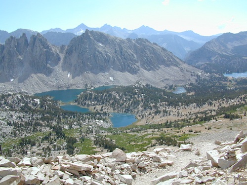
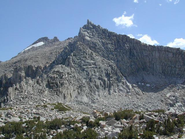
Granite peaks around Kearsarge Pass are simply awesome

Kings Canyon Wilderness Trail Maps

Kings Canyon Wilderness Map

avenza mapsdownload digital version of this map –
Kings Canyon High Country Map

fishing map

Kings Canyon Wilderness Map

OLD EDITION

Kings Canyon National Park NPS

Kings Canyon Wilderness Map

see also –
Kearsarge Pass Trail Map
Sequoia Kings NP Map by NatGeo
Sequoia Kings Map by Tom Harrison
JMT – John Muir Wilderness Maps
Mineral King Topo Map

nearby destinations –Kings Canyon Wilderness Map

"<yoastmark

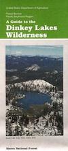
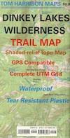
Dinkey Lakes Wilderness Map

Dinkey Lakes Map

Dinkey Wilderness

Dinkey Wilderness Map USDA

currently unavailable on Amazon. may be available at local ranger stations

Dinkey Lakes Wilderness Map / Dinkey Lakes Trails / Dinkey Creek Camping

Dinkey Creek and the hike-in only, wilderness lakes are part of a bigger Sierra National Forest

hikerPerfect for a day hike reference or extended backpacking adventures. Scale = 2″ to mile; Usually only found at Ranger Stations – Hard to find maps. Printed on paper; Last updated in 1991.

see also –

Dinkey Lakes Wilderness Trail Map by Tom Harrison

dinkey map

CREEK FIRE 2020: Much of the Sierra National Forest was badly burned in a recent wildfire, but this Dinkey Creek area was spared. The huge fire moved the other direction – from Shaver Lake north and then eastward.

That means this Dinkey Creek Area may become more popular, along with high elevation lakes – Courtright and Wishon Reservoirs – now that this the only unburnt region around.

At least the nearby Sequoia trees in the McKinley Grove didn’t go up in flames.

NOTE: Much of the Sierra National Forest may be closed to the public (for years) due to forest hazards, loggers working, and general fire cleanup. Contact the local USFS Ranger station at Tollhouse to find out what areas are indeed open.

Dinkey Lake Wilderness

Minimal Snow, Maximum Mud

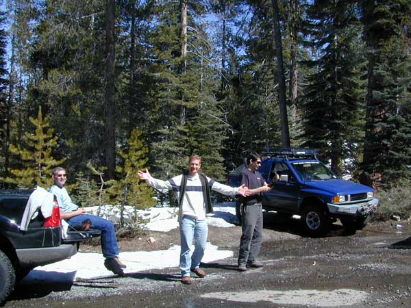
4×4 Fun – Minimal Snow, Maximum Mud